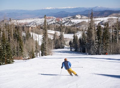
Edelweiss Ski Resort Weather (Next 3 days): The snow forecast for Edelweiss Ski Resort is: Light rain (total 7.0mm) at first, then becoming colder with a dusting of snow on Mon night. Freeze-thaw conditions (max 11°C on Sun afternoon, min 0°C on Mon night). Winds decreasing (strong winds from the WNW on Sat night, calm by Mon afternoon).
Edelweiss Ski Resort Weather (Days 4-6): Some drizzle, heaviest during Thu night. Very mild (max 11°C on Thu afternoon, min 1°C on Tue morning). Winds decreasing (strong winds from the WNW on Tue afternoon, calm by Wed afternoon).


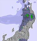


 Nearest
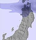