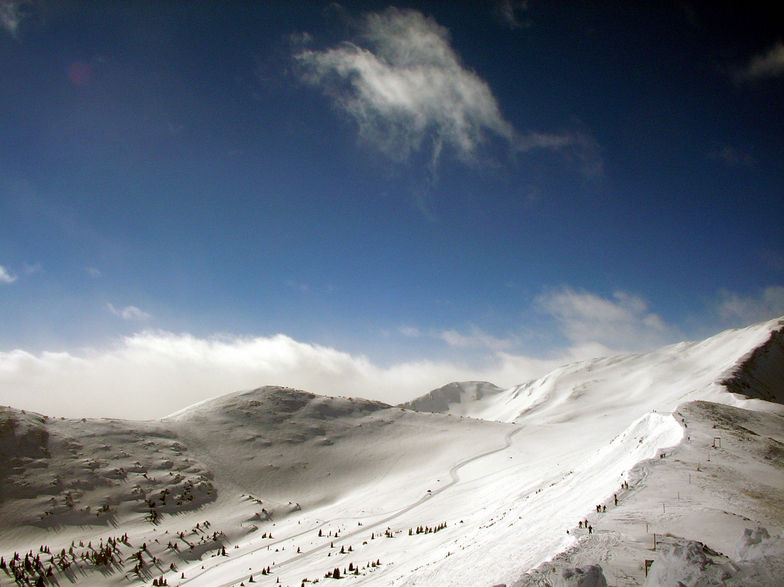
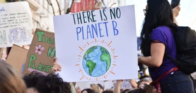
Copper Mountain snow
Ski USA - Colorado

Copper Mountain Snow Forecast

Weather Forecast for Copper Mountain at 3356 m
Issued: 5 pm  14 Apr 2025 (local time)

New snow in Copper Mountain

2.4cm0.9in
Tue 15th (PM)
The snow forecast for Copper Mountain is: A dusting of snow turning to light rain (total 2.0mm) on Wed afternoon. Freeze-thaw conditions (max 6°C on Wed afternoon, min -4°C on Mon night). Winds increasing (calm on Mon night, strong winds from the SW by Thu morning).

Copper Mountain Weather (Next 3 days): The snow forecast for Copper Mountain is: A dusting of snow turning to light rain (total 2.0mm) on Wed afternoon. Freeze-thaw conditions (max 6°C on Wed afternoon, min -4°C on Mon night). Winds increasing (calm on Mon night, strong winds from the SW by Thu morning).

Copper Mountain Weather (Days 4-6): A moderate fall of snow, heaviest on Sat night. Freeze-thaw conditions (max 3°C on Thu afternoon, min -10°C on Sat night). Winds decreasing (strong winds from the WSW on Thu afternoon, calm by Sat afternoon).


Copper Mountain Live Weather

ResortSnow DepthTemp. (°C)Wind (km/h)Weather
Top Lift: 1.4m
-6
5
clear
Middle Lift: 
-3
0
clear
Bottom Lift: 0.4m
-2
0
clear
Powered by Snow-Forecast.comSnow-Forecast.com
6 Day Forecast
Issued: 5 pm 14 Apr 2025 / Updates in ::
Change Forecast Height
Choose Forecast
Last 6 daysScroll left for last 6 daysNow
Mon
14
Tuesday
15
Wednesday
16
Thursday
17
Friday
18
Saturday
19
Sunday
20
PM
night
AM
PM
night
AM
PM
night
AM
PM
night
AM
PM
night
AM
PM
night
AM
PM
night
clear
clear
part cloud
light snow
snow showers
part cloud
rain showers
part cloud
part cloud
cloud
part cloud
part cloud
light snow
light snow
light snow
light snow
mod snow
clear
light snow
snow showers
clear
clear
some clouds
light snow
snow shwrs
some clouds
rain shwrs
some clouds
some clouds
cloudy
some clouds
some clouds
light snow
light snow
light snow
light snow
mod. snow
clear
light snow
snow shwrs
 km/h
15
NW
5
SSE
5
WSW
20
W
10
WSW
20
W
20
W
20
SW
30
SW
40
WSW
15
SSW
10
SSW
20
SSW
10
S
10
SE
15
SSE
5
WNW
10
WNW
20
WNW
10
W
Snow map
 cm 
1.0
1.0
4
2.0
3
6
 mm 
2.0
max°C
2
-3
5
5
-2
5
6
1
3
3
-2
0
1
-3
-3
-2
-6
-2
-1
-6
min°C
2
-4
2
1
-2
3
6
0
1
2
-5
-3
-1
-6
-5
-4
-10
-5
-2
-7
chill°C 
-2
-7
0
-2
-5
-2
2
-6
-5
-4
-9
-7
-6
-11
-9
-4
-14
-9
-7
-12
Humid% 
33
58
34
41
83
53
42
38
35
26
53
41
40
87
78
64
95
70
60
90
Freezing level (m
3600
2850
3600
3950
3000
3750
4100
3550
3450
3700
3000
3050
3450
2650
2600
3100
2050
2550
3250
2450
topliftbotliftSea lvl1000m2000m3000m4000m5000m
-1-600-513-2-1-1-7-5-4-8-7-6-10-7-5-95-266-169256-133-2-10-6-12-5
Sunrise
6:28
6:26
6:24
6:22
6:22
6:20
Sunset
7:40
7:42
7:43
7:44
7:45
7:45
7:46

Snow Radar

Latest snow reports near Copper Mountain:

No recent snow reports

No recent snow reports

Copper Mountain Snow Conditions

Top snow depth:142cm
Bottom snow depth:40cm
Fresh snowfall depth:
Last snowfall: 5 Apr 2025
Snow AlertsCreate Alert
Other resorts in USA - Colorado are reporting: powder (0) / good piste (1)

Snow-Forecast Partner Offers

Snow History

Week 2 of April has on average:
0.9
Bluebird Powder days
Fresh snow, mostly sunny, light wind.
1.2
Powder days
Fresh snow, limited sun, any wind.
1.1
Bluebird days
Average snow, mostly sunny, light wind.


Snow-Forecast Partner Offers