

Massive Snowfall in the Alps
A huge snowfall is underway in the Alps, by far the biggest of the 24-25 season.
Please sign in with your Snow-Forecast account details below.


Chastreix-Sancy Weather (Next 3 days): The snow forecast for Chastreix-Sancy is: A light covering of new snow, mostly falling on Sat night. Becoming milder with moderate rain (total 12.0mm) heaviest on Sun night. Freeze-thaw conditions (max 8°C on Tue afternoon, min 0°C on Sat night). Winds decreasing (near gales from the SW on Sun night, calm by Tue morning).
Chastreix-Sancy Weather (Days 4-6): Moderate rain (total 16.0mm), heaviest on Thu afternoon. Mild temperatures (max 7°C on Wed afternoon, min 1°C on Tue night). Winds increasing (calm on Wed night, fresh winds from the NNE by Fri afternoon).
| Resort | Snow Depth | Temp. (°C) | Wind (km/h) | Weather | ||
|---|---|---|---|---|---|---|
| Top Lift: | 0.0 m | 3 | ||||
| Bottom Lift: | 0.0 m | 5 |
Latest snow reports near Chastreix-Sancy:

Sunday 20 | Monday 21 | Tuesday 22 | Wednesday 23 | Thursday 24 | Friday 25 | ||||||||||||||
night | AM | PM | night | AM | PM | night | AM | PM | night | AM | PM | night | AM | PM | night | AM | PM | night | |
light snow | cloudy | light rain | light snow | light rain | light rain | light rain | cloudy | light rain | rain shwrs | clear | light rain | light rain | light rain | light rain | light rain | light snow | light rain | light rain | |
km/h | |||||||||||||||||||
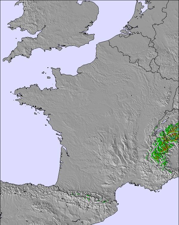
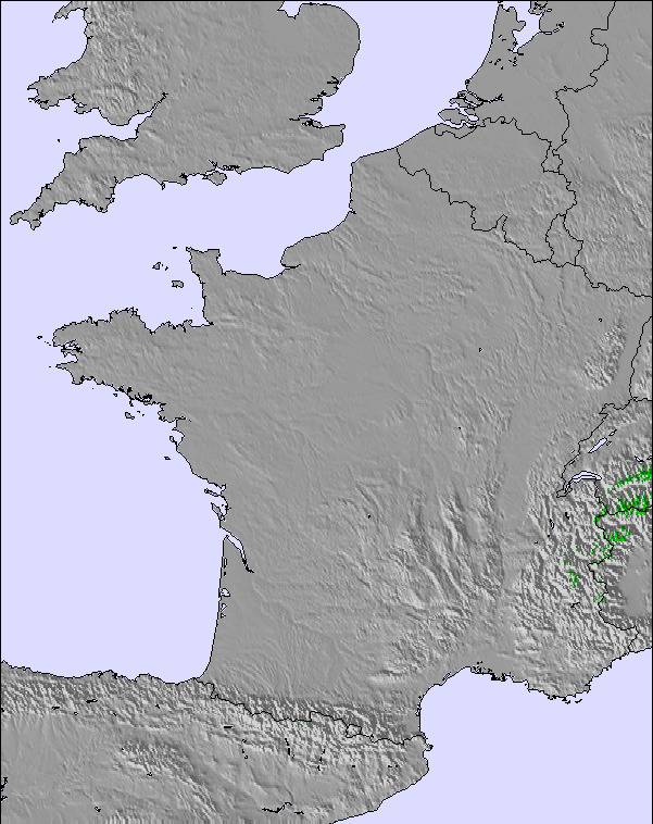
Snow map |  |  |  |  | 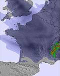 |  | 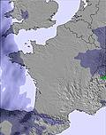 | ||||||||||||
5 | — | — | 1.0 | — | — | — | — | — | — | — | — | — | — | — | — | — | — | — | |
— | — | 1.0 | 3 | 3 | 2.0 | 2.0 | — | 1.0 | 2.0 | — | 1.0 | 1.0 | 2.0 | 5 | 3 | — | 2.0 | 3 | |
max°C | 5 | 4 | 7 | 3 | 2 | 5 | 4 | 5 | 8 | 4 | 5 | 7 | 5 | 4 | 5 | 3 | 2 | 3 | 4 |
min°C | 0 | 1 | 6 | 1 | 2 | 3 | 2 | 2 | 7 | 1 | 1 | 6 | 2 | 2 | 3 | 1 | 1 | 2 | 1 |
-6 | -6 | 0 | -7 | -5 | -3 | -1 | 0 | 5 | -4 | -3 | 3 | -1 | 2 | 0 | -4 | -5 | -4 | -5 | |
99 | 72 | 67 | 99 | 100 | 88 | 98 | 78 | 71 | 90 | 78 | 70 | 86 | 97 | 99 | 99 | 98 | 98 | 94 | |
1350 | 1850 | 2050 | 1550 | 1800 | 2100 | 2000 | 1950 | 2100 | 1850 | 1900 | 2050 | 1950 | 1900 | 1800 | 1800 | 1700 | 2000 | 2200 | |
— | 6:56 | — | — | 6:54 | — | — | 6:52 | — | — | 6:50 | — | — | 6:48 | — | — | 6:47 | — | — | |
— | — | — | 8:39 | — | — | 8:42 | — | — | 8:43 | — | — | 8:44 | — | — | 8:45 | — | — | 8:46 | |
A light covering of new snow, mostly falling on Sat night. Becoming milder with moderate rain (total 12.0mm) heaviest on Sun night. Freeze-thaw conditions (max 8°C on Tue afternoon, min 0°C on Sat night). Winds decreasing (near gales from the SW on Sun night, calm by Tue morning).
Moderate rain (total 16.0mm), heaviest on Thu afternoon. Mild temperatures (max 7°C on Wed afternoon, min 1°C on Tue night). Winds increasing (calm on Wed night, fresh winds from the NNE by Fri afternoon).
Latest snow reports near Chastreix-Sancy:
| Top snow depth: | 0 cm |
|---|---|
| Bottom snow depth: | 0 cm |
| Fresh snowfall depth: | — |
| Last snowfall: | 16 Apr 2025 |
| Snow Alerts | Create Alert |
0.0 | Bluebird Powder days Fresh snow, mostly sunny, light wind. |
|---|---|
0.1 | Powder days Fresh snow, limited sun, any wind. |
0.0 | Bluebird days Average snow, mostly sunny, light wind. |
The above table gives the weather forecast for Chastreix-Sancy at the specific elevation of 1350 m. Our sophisticated weather models allow us to provide snow forecasts for the top, middle and bottom ski stations of Chastreix-Sancy. To access the weather forecasts for the other elevations, use the tab navigation above the table. For a wider view of the weather, check out the Weather Map of France.
Click here to read further information on freezing levels and how we forecast our temperatures.
The Chastreix-Sancy skiing weather widget is available to embed on external websites free of charge. It provides a daily summary of our Chastreix-Sancy snow forecast and current weather conditions. Simply go to the feed configuration page and follow the 3 simple steps to grab the custom html code snippet and paste it into your own site. You can choose the snow forecast elevation (summit, mid-mountain or bottom lift) and metric/imperial units for the snow forecast feed to suit your own website…. Click here to get the code.
View detailed snow forecast for Chastreix-Sancy at:
snow-forecast.com


 Nearest