

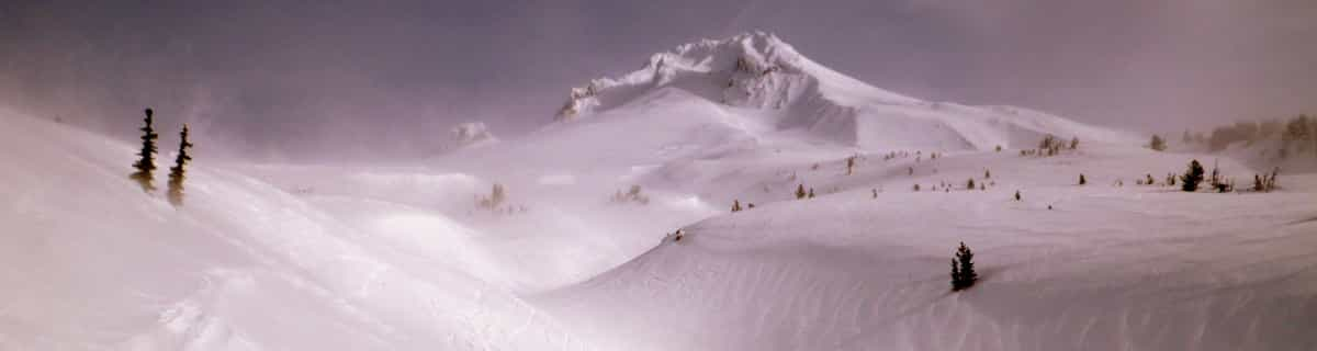
Massive Snowfall in the Alps
A huge snowfall is underway in the Alps, by far the biggest of the 24-25 season.
Please sign in with your Snow-Forecast account details below.

Bretton Woods Weather (Next 3 days): The snow forecast for Bretton Woods is: Light rain (total 7.0mm), mostly falling on Mon night. Freeze-thaw conditions (max 15°C on Mon afternoon, min 0°C on Wed night). Wind will be generally light.
Bretton Woods Weather (Days 4-6): Heavy rain (total 22.0mm), heaviest during Fri morning. Very mild (max 14°C on Thu afternoon, min 1°C on Sat night). Wind will be generally light.
| Resort | Snow Depth | Temp. (°C) | Wind (km/h) | Weather | ||
|---|---|---|---|---|---|---|
| Top Lift: | 7 | |||||
| Middle Lift: | 8 | |||||
| Bottom Lift: | 12 |
Latest snow reports near Bretton Woods:

Monday 21 | Tuesday 22 | Wednesday 23 | Thursday 24 | Friday 25 | Saturday 26 | Sunday 27 | |||||||||||||||
AM | PM | night | AM | PM | night | AM | PM | night | AM | PM | night | AM | PM | night | AM | PM | night | AM | PM | night | |
some clouds | cloudy | mod. rain | some clouds | some clouds | light rain | cloudy | some clouds | some clouds | some clouds | some clouds | light rain | mod. rain | light rain | mod. rain | light rain | light rain | rain shwrs | clear | clear | some clouds | |
km/h | |||||||||||||||||||||
Snow map |  |  |  |  |  |  |  | ||||||||||||||
— | — | — | — | — | — | — | — | — | — | — | — | — | — | — | — | — | — | — | — | — | |
— | — | 6 | — | — | 1.0 | — | — | — | — | — | 1.0 | 7 | 1.0 | 6 | 3 | 1.0 | 3 | — | — | — | |
max°C | 12 | 15 | 8 | 13 | 15 | 7 | 5 | 8 | 4 | 10 | 14 | 9 | 9 | 12 | 8 | 10 | 12 | 7 | 8 | 12 | 6 |
min°C | 3 | 13 | 5 | 8 | 12 | 3 | 4 | 7 | 0 | 4 | 13 | 7 | 8 | 11 | 6 | 8 | 9 | 1 | 2 | 12 | 4 |
3 | 12 | 2 | 6 | 10 | 0 | 0 | 4 | -4 | 1 | 13 | 6 | 7 | 10 | 4 | 8 | 7 | -3 | -2 | 11 | 3 | |
25 | 37 | 97 | 74 | 61 | 83 | 77 | 67 | 88 | 47 | 42 | 69 | 97 | 84 | 97 | 93 | 98 | 94 | 40 | 39 | 49 | |
2600 | 2900 | 3000 | 2800 | 3000 | 1100 | 950 | 1300 | 850 | 2150 | 2300 | 2550 | 2600 | 2800 | 2700 | 3050 | 2500 | 800 | 1450 | 2050 | 2300 | |
5:52 | — | — | 5:50 | — | — | 5:48 | — | — | 5:48 | — | — | 5:46 | — | — | 5:45 | — | — | 5:43 | — | — | |
— | 7:37 | — | — | 7:37 | — | — | 7:38 | — | — | 7:39 | — | — | 7:40 | — | — | 7:43 | — | — | 7:44 | — | |
Light rain (total 7.0mm), mostly falling on Mon night. Freeze-thaw conditions (max 15°C on Mon afternoon, min 0°C on Wed night). Wind will be generally light.
Heavy rain (total 22.0mm), heaviest during Fri morning. Very mild (max 14°C on Thu afternoon, min 1°C on Sat night). Wind will be generally light.
Latest snow reports near Bretton Woods:
| Top snow depth: | — |
|---|---|
| Bottom snow depth: | — |
| Fresh snowfall depth: | — |
| Last snowfall: | 17 Apr 2025 |
| Snow Alerts | Create Alert |
0.1 | Bluebird Powder days Fresh snow, mostly sunny, light wind. |
|---|---|
0.8 | Powder days Fresh snow, limited sun, any wind. |
0.2 | Bluebird days Average snow, mostly sunny, light wind. |
The above table gives the weather forecast for Bretton Woods at the specific elevation of 488 m. Our sophisticated weather models allow us to provide snow forecasts for the top, middle and bottom ski stations of Bretton Woods. To access the weather forecasts for the other elevations, use the tab navigation above the table. For a wider view of the weather, check out the Weather Map of United States.
Click here to read further information on freezing levels and how we forecast our temperatures.
Overall 3.5 Based on 3 votes and 2 reviews
A name from the history books..the famous 1944 Conference was at Bretton Woods Hotel , down the road from the ski resort. It was also where "The Shining" was filmed. Bretton Woods is claimed to be the most snow sure of the New Hampshire ski resorts, there was certainly loads in March '05. Great ski school and brilliant facilities for kids. Lots of greens and blues , not much for the expert, but SOME challenging runs. Well run and not much queuing even at weekends. Awesome views of Mt Washington.Recommended!
The Snow Weasel from United Kingdom writes:
A name from the history books..the famous 1944 Conference was at Bretton Woods Hotel , down the road from the ski resort. It was also where "The Shining" was filmed.
Bretton Woods is claimed to be the most snow sure of the New Hampshire ski resorts, there was certainly loads in March '05. Great ski school and brilliant facilities for kids. Lots of greens and blues , not much for the expert, but SOME challenging runs. Well run and not much queuing even at weekends. Awesome views of Mt Washington.Recommended!
The Bretton Woods skiing weather widget is available to embed on external websites free of charge. It provides a daily summary of our Bretton Woods snow forecast and current weather conditions. Simply go to the feed configuration page and follow the 3 simple steps to grab the custom html code snippet and paste it into your own site. You can choose the snow forecast elevation (summit, mid-mountain or bottom lift) and metric/imperial units for the snow forecast feed to suit your own website…. Click here to get the code.
View detailed snow forecast for Bretton Woods at:
snow-forecast.com


 Nearest