


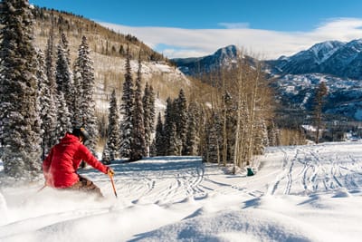
New Chairlift and Advanced Terrain at Colorado’s Purgatory
As Purgatory ski area in Colorado approaches its 60th anniversary in the upcoming 2025/2026 season, the resort has announced is marking the milestone with a $6.4 million investment - its most significant expansion in more than a decade.


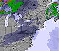
 Nearest
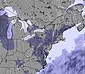