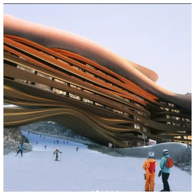
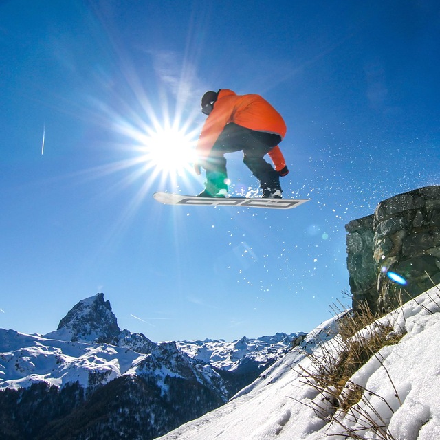
Future Of Saudi Arabia's Ski Resort Development Unclear
The status of a planned year-round outdoor ski area in Saudi Arabia is currently uncertain, and not just because of the current war in the region.

Artouste Weather (Next 3 days): The snow forecast for Artouste is: Light rain (total 3.0mm), mostly falling on Sun afternoon. Very mild (max 13°C on Mon afternoon, min 8°C on Sun morning). Wind will be generally light.
Artouste Weather (Days 4-6): Light rain (total 5.0mm), mostly falling on Wed afternoon. Very mild (max 15°C on Fri afternoon, min 9°C on Wed morning). Wind will be generally light.
| Resort | Snow Depth | Temp. (°C) | Wind (km/h) | Weather | ||
|---|---|---|---|---|---|---|
| Top Lift: | 8 | |||||
| Middle Lift: | 10 | |||||
| Bottom Lift: | 12 |

Sunday 5 | Monday 6 | Tuesday 7 | Wednesday 8 | Thursday 9 | Friday 10 | |||||||||||||
AM | PM | night | AM | PM | night | AM | PM | night | AM | PM | night | AM | PM | night | AM | PM | night | |
clear | risk thun- der | rain shwrs | some clouds | clear | rain shwrs | some clouds | cloudy | cloudy | cloudy | light rain | light rain | some clouds | risk thun- der | rain shwrs | some clouds | clear | some clouds | |
km/h | ||||||||||||||||||
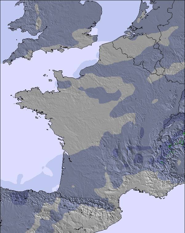
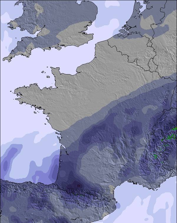
Snow map |  |  |  |  | 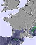 | 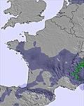 | ||||||||||||
— | — | — | — | — | — | — | — | — | — | — | — | — | — | — | — | — | — | |
— | 1 | 1 | — | — | 1 | — | — | — | — | 1 | 1 | — | 1 | 2 | — | — | — | |
max °C | 10 | 11 | 10 | 12 | 13 | 12 | 11 | 12 | 11 | 11 | 11 | 10 | 12 | 13 | 11 | 13 | 15 | 13 |
min °C | 8 | 11 | 10 | 10 | 13 | 9 | 8 | 12 | 9 | 9 | 11 | 10 | 10 | 13 | 10 | 11 | 14 | 10 |
8 | 11 | 10 | 10 | 13 | 7 | 6 | 11 | 8 | 8 | 11 | 10 | 10 | 13 | 9 | 11 | 14 | 10 | |
53 | 63 | 58 | 46 | 49 | 41 | 31 | 49 | 45 | 41 | 56 | 50 | 41 | 60 | 54 | 28 | 42 | 52 | |
3150 | 3150 | 3100 | 3200 | 3200 | 3350 | 3200 | 3100 | 3100 | 3000 | 3050 | 3150 | 3250 | 3350 | 3400 | 3400 | 3400 | 3400 | |
7:37 | — | — | 7:35 | — | — | 7:33 | — | — | 7:31 | — | — | 7:31 | — | — | 7:28 | — | — | |
— | — | 8:30 | — | — | 8:31 | — | — | 8:34 | — | — | 8:35 | — | — | 8:36 | — | — | 8:37 | |
Light rain (total 3.0mm), mostly falling on Sun afternoon. Very mild (max 13°C on Mon afternoon, min 8°C on Sun morning). Wind will be generally light.
Light rain (total 5.0mm), mostly falling on Wed afternoon. Very mild (max 15°C on Fri afternoon, min 9°C on Wed morning). Wind will be generally light.
Latest snow reports near Artouste:
Lots of new snow to play in. Glorious sunny weather, suntan lotion a must. from Grand Tourmalet-Bareges/La Mongie
| Top snow depth: | — |
|---|---|
| Bottom snow depth: | — |
| Fresh snowfall depth: | — |
| Last snowfall: | 2 Apr 2026 |
| Snow Alerts | Create Alert |
0.2 | Bluebird Powder days Fresh snow, mostly sunny, light wind. |
|---|---|
0.6 | Powder days Fresh snow, limited sun, any wind. |
0.2 | Bluebird days Average snow, mostly sunny, light wind. |
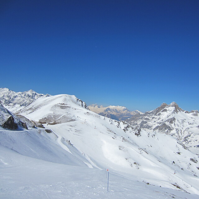
The above table gives the weather forecast for Artouste at the specific elevation of 1750 m. Our sophisticated weather models allow us to provide snow forecasts for the top, middle and bottom ski stations of Artouste. To access the weather forecasts for the other elevations, use the tab navigation above the table. For a wider view of the weather, check out the Weather Map of France.
Click here to read further information on freezing levels and how we forecast our temperatures.
Overall 3.2 Based on 17 votes and 1 review
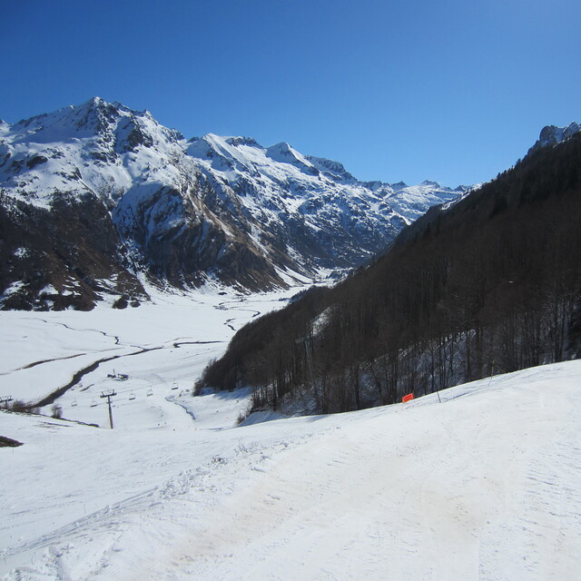
Artouste is just behind Gourette. It's the bottom of the world. No hotel, just one restaurant but beautiful ski tracks. You're skiing on the western Pyrenees National Park. The landscape is incredible.
Eric Bastié from France writes:
Artouste is just behind Gourette. It's the bottom of the world. No hotel, just one restaurant but beautiful ski tracks. You're skiing on the western Pyrenees National Park. The landscape is incredible.

 Nearest