
Record Numbers of Skiers & Boarders
The new edition of a respected annual report has concluded that the 2024-25 season saw record numbers of skiers take to the slopes around the world.

Next 3 days weather summary:A heavy fall of snow, heaviest during Thu afternoon. Temperatures will be below freezing (max 0°C on Wed afternoon, min -10°C on Thu night). Wind will be generally light. | Days 4-6 weather summary:Light rain (total 8.0mm) at first, then becoming colder with a dusting of snow on Sun night. Freeze-thaw conditions (max 6°C on Mon afternoon, min -5°C on Sat night). Wind will be generally light. | |||||||||||||||||
Wednesday 29 | Thursday 30 | Friday 1 | Saturday 2 | Sunday 3 | Monday 4 | |||||||||||||
AM | PM | night | AM | PM | night | AM | PM | night | AM | PM | night | AM | PM | night | AM | PM | night | |
light snow | light snow | light snow | light snow | mod. snow | mod. snow | light snow | light snow | snow shwrs | clear | snow shwrs | snow shwrs | rain shwrs | rain shwrs | snow shwrs | light rain | risk thun- der | snow shwrs | |
km/h | ||||||||||||||||||
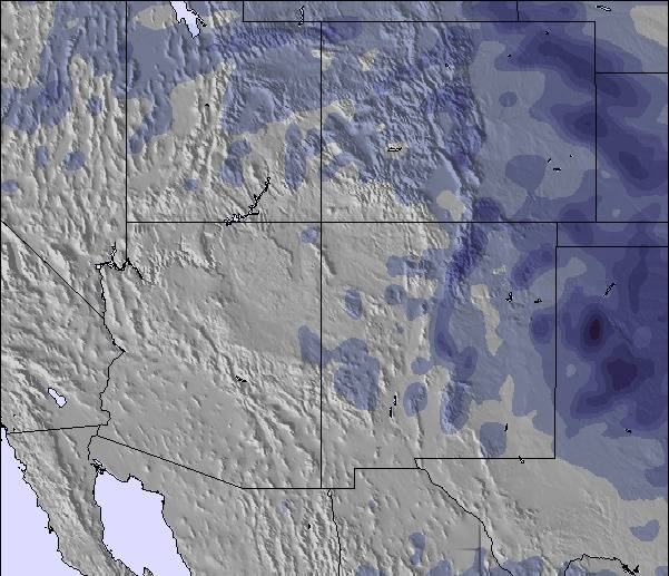
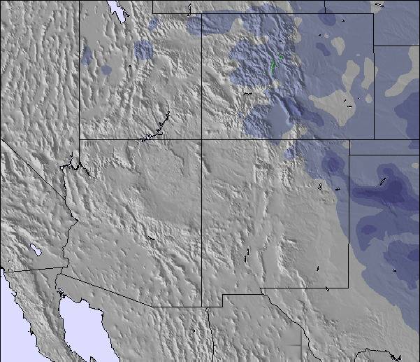
Snow map | 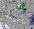 | 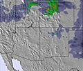 |  |  |  |  | ||||||||||||
— | 1 | 3 | 2 | 6 | 6 | 1 | 2 | — | — | — | — | — | — | — | — | — | — | |
— | — | — | — | — | — | — | — | — | — | — | — | 1 | 4 | — | 1 | 2 | — | |
max °C | -2 | 0 | -5 | -4 | -4 | -6 | -4 | -3 | -8 | 0 | 2 | -4 | 3 | 3 | -2 | 5 | 6 | -1 |
min °C | -3 | -3 | -8 | -5 | -5 | -10 | -6 | -3 | -9 | -2 | 2 | -5 | 1 | 2 | -3 | 2 | 6 | -3 |
-8 | -7 | -11 | -8 | -5 | -10 | -6 | -5 | -9 | -4 | 0 | -5 | -1 | -1 | -6 | -1 | 3 | -6 | |
47 | 39 | 83 | 62 | 74 | 95 | 71 | 79 | 86 | 38 | 37 | 68 | 44 | 47 | 75 | 54 | 30 | 60 | |
3150 | 3500 | 2700 | 2900 | 3100 | 2550 | 2750 | 3100 | 2200 | 3200 | 3800 | 2900 | 3700 | 3900 | 3100 | 3750 | 4250 | 3350 | |
6:07 | — | — | 6:05 | — | — | 6:03 | — | — | 6:03 | — | — | 6:01 | — | — | 6:01 | — | — | |
— | 7:54 | — | — | 7:55 | — | — | 7:57 | — | — | 7:58 | — | — | 7:59 | — | — | 8:00 | — | |
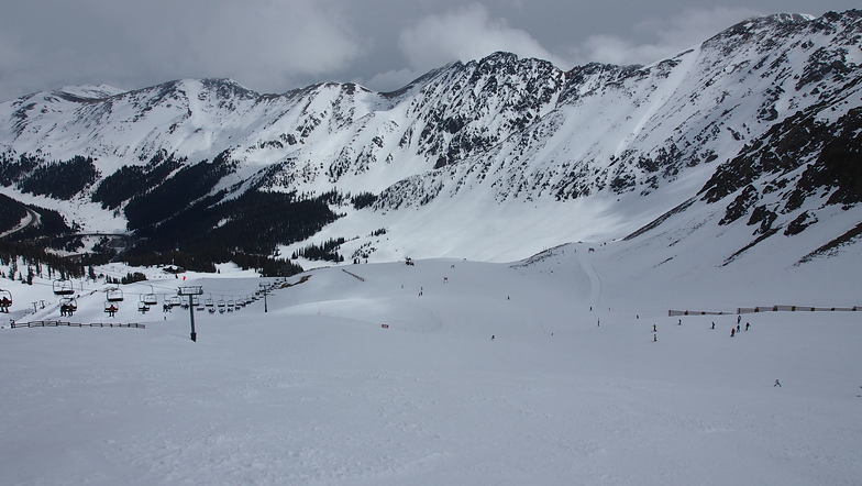
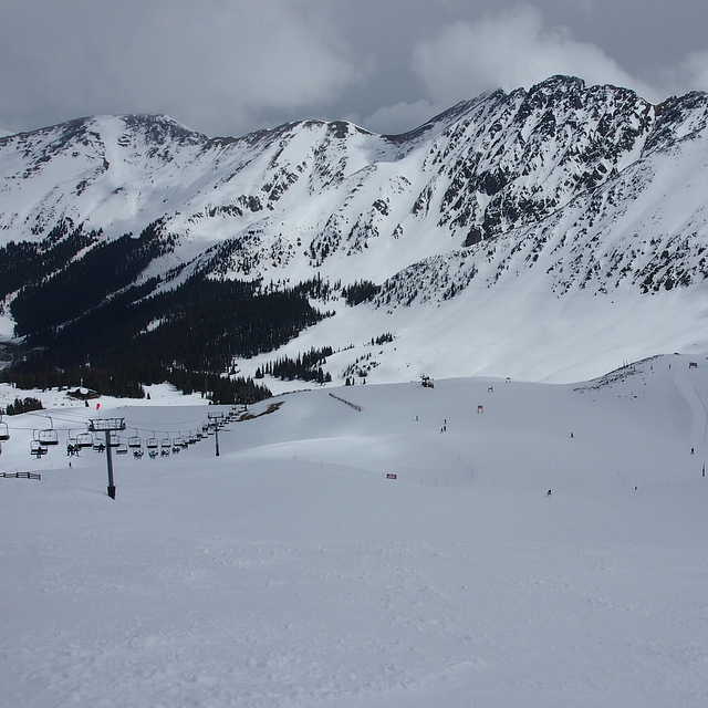
Latest snow reports near Arapahoe Basin:
Light snow reported from Berthoud Pass Airport at 12490 feet 6 miles S of Winter Park Ski Resort from Winter Park
Heavy snow reported from Berthoud Pass Airport at 12490 feet 6 miles S of Winter Park Ski Resort from Winter Park
| Top snow depth: | 71 cm |
|---|---|
| Bottom snow depth: | 20 cm |
| Fresh snowfall depth: | 3 cm |
| Last snowfall: | 28 Apr 2026 |
| Snow Alerts | Create Alert |
1.3 | Bluebird Powder days Fresh snow, mostly sunny, light wind. |
|---|---|
1.3 | Powder days Fresh snow, limited sun, any wind. |
1.8 | Bluebird days Average snow, mostly sunny, light wind. |
The above table gives the weather forecast for Arapahoe Basin at the specific elevation of 3544 m. Our sophisticated weather models allow us to provide snow forecasts for the top, middle and bottom ski stations of Arapahoe Basin. To access the weather forecasts for the other elevations, use the tab navigation above the table. For a wider view of the weather, check out the Weather Map of United States.
Click here to read further information on freezing levels and how we forecast our temperatures.
Overall 3.6 Based on 14 votes and 3 reviews
Area is open but I have to hitchhike there from my motel (I am a destination tourist). Flew here and the shuttle bus does not start until Thanksgiving. It's Nov 4th so I give it two stars out of five.
Duncan Cullman from United States writes:
Area is open but I have to hitchhike there from my motel (I am a destination tourist). Flew here and the shuttle bus does not start until Thanksgiving. It's Nov 4th so I give it two stars out of five.

 Nearest