

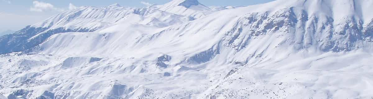
Massive Snowfall in the Alps
A huge snowfall is underway in the Alps, by far the biggest of the 24-25 season.
Please sign in with your Snow-Forecast account details below.

Alpe du Grand-Serre Weather (Next 3 days): The snow forecast for Alpe du Grand-Serre is: Moderate rain (total 15.0mm), heaviest on Sun morning. Very mild (max 12°C on Sat afternoon, min 2°C on Sun night). Wind will be generally light.
Alpe du Grand-Serre Weather (Days 4-6): Light rain (total 2.0mm), mostly falling on Tue afternoon. Mild temperatures (max 9°C on Tue afternoon, min 3°C on Wed night). Wind will be generally light.
| Resort | Snow Depth | Temp. (°C) | Wind (km/h) | Weather | ||
|---|---|---|---|---|---|---|
| Top Lift: | 0.0 m | 4 | ||||
| Middle Lift: | 7 | |||||
| Bottom Lift: | 0.0 m | 10 |
Latest snow reports near Alpe du Grand-Serre:

Saturday 19 | Sunday 20 | Monday 21 | Tuesday 22 | Wednesday 23 | Thursday 24 | Friday 25 | |||||||||||||||
AM | PM | night | AM | PM | night | AM | PM | night | AM | PM | night | AM | PM | night | AM | PM | night | AM | PM | night | |
some clouds | light rain | rain shwrs | rain shwrs | light rain | rain shwrs | clear | some clouds | some clouds | cloudy | rain shwrs | light rain | cloudy | cloudy | clear | some clouds | clear | clear | clear | some clouds | cloudy | |
km/h | |||||||||||||||||||||
Snow map |  |  |  |  |  |  |  | ||||||||||||||
— | — | — | — | — | — | — | — | — | — | — | — | — | — | — | — | — | — | — | — | — | |
— | 1.0 | 4 | 8 | 1.0 | 1.0 | — | — | — | — | 1.0 | 1.0 | — | — | — | — | — | — | — | — | — | |
max°C | 10 | 12 | 8 | 7 | 9 | 6 | 7 | 10 | 6 | 8 | 9 | 7 | 6 | 7 | 6 | 7 | 9 | 7 | 9 | 11 | 8 |
min°C | 5 | 12 | 4 | 3 | 9 | 2 | 3 | 9 | 3 | 4 | 8 | 5 | 5 | 6 | 3 | 4 | 9 | 4 | 5 | 11 | 4 |
2 | 11 | 1 | 0 | 7 | 0 | 3 | 8 | 1 | 2 | 7 | 3 | 3 | 4 | 0 | 1 | 7 | 1 | 2 | 9 | 1 | |
62 | 54 | 68 | 65 | 50 | 82 | 63 | 63 | 89 | 82 | 86 | 97 | 94 | 92 | 79 | 74 | 64 | 77 | 73 | 65 | 84 | |
2750 | 2700 | 2400 | 2200 | 2350 | 2050 | 2300 | 2550 | 2500 | 2600 | 2650 | 2500 | 2550 | 2700 | 2650 | 2450 | 2700 | 2450 | 2700 | 2850 | 2750 | |
6:46 | — | — | 6:43 | — | — | 6:41 | — | — | 6:41 | — | — | 6:39 | — | — | 6:37 | — | — | 6:35 | — | — | |
— | — | 8:25 | — | — | 8:27 | — | — | 8:28 | — | — | 8:30 | — | — | 8:30 | — | — | 8:31 | — | — | 8:32 | |
Moderate rain (total 15.0mm), heaviest on Sun morning. Very mild (max 12°C on Sat afternoon, min 2°C on Sun night). Wind will be generally light.
Light rain (total 2.0mm), mostly falling on Tue afternoon. Mild temperatures (max 9°C on Tue afternoon, min 3°C on Wed night). Wind will be generally light.
Latest snow reports near Alpe du Grand-Serre:
| Top snow depth: | 0 cm |
|---|---|
| Bottom snow depth: | 0 cm |
| Fresh snowfall depth: | — |
| Last snowfall: | 17 Apr 2025 |
| Snow Alerts | Create Alert |
0.0 | Bluebird Powder days Fresh snow, mostly sunny, light wind. |
|---|---|
0.5 | Powder days Fresh snow, limited sun, any wind. |
0.1 | Bluebird days Average snow, mostly sunny, light wind. |
The above table gives the weather forecast for Alpe du Grand-Serre at the specific elevation of 1367 m. Our sophisticated weather models allow us to provide snow forecasts for the top, middle and bottom ski stations of Alpe du Grand-Serre. To access the weather forecasts for the other elevations, use the tab navigation above the table. For a wider view of the weather, check out the Weather Map of France.
Click here to read further information on freezing levels and how we forecast our temperatures.
Overall 3.4 Based on 12 votes and 2 reviews
The Alpe du Grand-Serre is little known by British skiers but for beginners up to good intermediate level skiers it is superb. There is a good variety of runs although there are no blacks to challenge the more advanced skier. However, lift passes are reasonably priced and there are often no queues at all. It is an excellent alternative to Bulgaria and Romania. It can get busy at French half-term weeks but then so do all the ski resorts in the French Alps. The buildings in the resort are all low level and the place is on a human scale with no high rise blocks typical of many French ski resorts. It could even be described as " pretty". We were there today (14/01/11) and there was practically nobody else on the piste. Our business, (Alpine Ventures), is based nearby and we often take clients there to get their ski legs having not skied for a year. A couple of days here and they are ready to move on to some of the bigger resorts in the area.
Chris Ainsworth from United Kingdom writes:
The Alpe du Grand-Serre is little known by British skiers but for beginners up to good intermediate level skiers it is superb. There is a good variety of runs although there are no blacks to challenge the more advanced skier. However, lift passes are reasonably priced and there are often no queues at all. It is an excellent alternative to Bulgaria and Romania. It can get busy at French half-term weeks but then so do all the ski resorts in the French Alps. The buildings in the resort are all low level and the place is on a human scale with no high rise blocks typical of many French ski resorts. It could even be described as " pretty". We were there today (14/01/11) and there was practically nobody else on the piste. Our business, (Alpine Ventures), is based nearby and we often take clients there to get their ski legs having not skied for a year. A couple of days here and they are ready to move on to some of the bigger resorts in the area.
Read 1 more reviews of Alpe du Grand-Serre or submit your own
The Alpe du Grand-Serre skiing weather widget is available to embed on external websites free of charge. It provides a daily summary of our Alpe du Grand-Serre snow forecast and current weather conditions. Simply go to the feed configuration page and follow the 3 simple steps to grab the custom html code snippet and paste it into your own site. You can choose the snow forecast elevation (summit, mid-mountain or bottom lift) and metric/imperial units for the snow forecast feed to suit your own website…. Click here to get the code.
View detailed snow forecast for Alpe du Grand-Serre at:
snow-forecast.com


 Nearest