

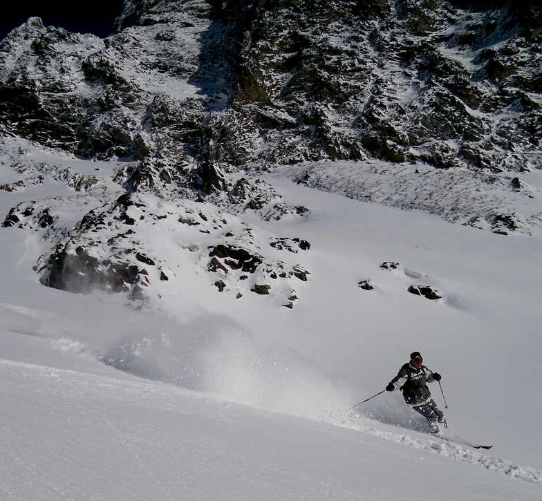
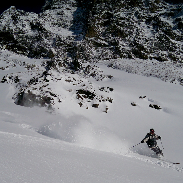
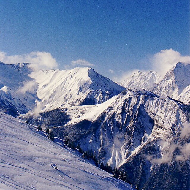
Massive Snowfall in the Alps
A huge snowfall is underway in the Alps, by far the biggest of the 24-25 season.
Please sign in with your Snow-Forecast account details below.


Alpe d'Huez Weather (Next 3 days): The snow forecast for Alpe d'Huez is: Light rain (total 2.0mm) at first, then becoming colder with a dusting of snow on Sun morning. Freeze-thaw conditions (max 4°C on Fri afternoon, min -2°C on Fri morning). Wind will be generally light.
Alpe d'Huez Weather (Days 4-6): Mild at first with light rain (total 6.0mm) on Tue night followed by colder weather and light fall of snow, heaviest on Wed night. Freeze-thaw conditions (max 3°C on Tue afternoon, min -2°C on Mon morning). Wind will be generally light.
| Resort | Snow Depth | Temp. (°C) | Wind (km/h) | Weather | ||
|---|---|---|---|---|---|---|
| Top Lift: | 2.0 m | -7 | ||||
| Middle Lift: | -2 | |||||
| Bottom Lift: | 0.5 m | 1 |
Latest snow reports near Alpe d'Huez:
Powder day!. Another glorious day. from Val Thorens
It is snowing steadily at Val Thorens. from Val Thorens
Snow is falling in Val Thorens. from Val Thorens
Snowing heavily at Val Thorens. from Val Thorens

Friday 18 | Saturday 19 | Sunday 20 | Monday 21 | Tuesday 22 | Wednesday 23 | Thursday 24 | |||||||||||||||
AM | PM | night | AM | PM | night | AM | PM | night | AM | PM | night | AM | PM | night | AM | PM | night | AM | PM | night | |
clear | some clouds | some clouds | cloudy | rain shwrs | snow shwrs | snow shwrs | light snow | snow shwrs | clear | some clouds | snow shwrs | cloudy | light rain | light snow | light snow | light snow | mod. snow | light snow | light snow | light snow | |
km/h | |||||||||||||||||||||
Snow map |  |  |  |  |  |  |  | ||||||||||||||
— | — | — | — | — | — | 2.0 | — | — | — | — | — | — | — | 5 | 1.0 | 2.0 | 8 | 1.0 | — | — | |
— | — | — | — | 1.0 | 1.0 | — | — | — | — | — | — | — | 3 | 3 | — | — | — | — | — | — | |
max°C | 1 | 4 | 3 | 4 | 4 | 3 | 1 | 2 | 1 | 1 | 2 | 1 | 2 | 3 | 2 | 1 | 1 | 1 | -1 | 0 | 0 |
min°C | -2 | 3 | 2 | 2 | 4 | 0 | 0 | 2 | -2 | -2 | 2 | 0 | 1 | 3 | 1 | 1 | 1 | -1 | -1 | -1 | -1 |
-5 | 2 | -1 | -1 | 1 | -4 | -5 | -1 | -2 | -2 | 2 | 0 | 1 | 3 | 1 | 1 | -1 | -1 | -1 | -3 | -4 | |
50 | 50 | 53 | 63 | 80 | 76 | 72 | 74 | 83 | 61 | 76 | 78 | 68 | 83 | 91 | 96 | 96 | 98 | 99 | 98 | 97 | |
2500 | 2950 | 3050 | 2750 | 2700 | 2400 | 2350 | 2450 | 2000 | 2350 | 2500 | 2350 | 2550 | 2650 | 2400 | 2350 | 2350 | 2150 | 2100 | 2150 | 2100 | |
6:46 | — | — | 6:45 | — | — | 6:43 | — | — | 6:41 | — | — | 6:39 | — | — | 6:37 | — | — | 6:35 | — | — | |
— | — | 8:23 | — | — | 8:24 | — | — | 8:25 | — | — | 8:28 | — | — | 8:29 | — | — | 8:30 | — | — | 8:30 | |
Light rain (total 2.0mm) at first, then becoming colder with a dusting of snow on Sun morning. Freeze-thaw conditions (max 4°C on Fri afternoon, min -2°C on Fri morning). Wind will be generally light.
Mild at first with light rain (total 6.0mm) on Tue night followed by colder weather and light fall of snow, heaviest on Wed night. Freeze-thaw conditions (max 3°C on Tue afternoon, min -2°C on Mon morning). Wind will be generally light.
Latest snow reports near Alpe d'Huez:
Powder day!. Another glorious day. from Val Thorens
It is snowing steadily at Val Thorens. from Val Thorens
Snow is falling in Val Thorens. from Val Thorens
Snowing heavily at Val Thorens. from Val Thorens
| Top snow depth: | 200 cm |
|---|---|
| Bottom snow depth: | 48 cm |
| Fresh snowfall depth: | 46 cm |
| Last snowfall: | 17 Apr 2025 |
| Snow Alerts | Create Alert |
0.4 | Bluebird Powder days Fresh snow, mostly sunny, light wind. |
|---|---|
1.0 | Powder days Fresh snow, limited sun, any wind. |
0.8 | Bluebird days Average snow, mostly sunny, light wind. |
The above table gives the weather forecast for Alpe d'Huez at the specific elevation of 2225 m. Our sophisticated weather models allow us to provide snow forecasts for the top, middle and bottom ski stations of Alpe d'Huez. To access the weather forecasts for the other elevations, use the tab navigation above the table. For a wider view of the weather, check out the Weather Map of France.
Click here to read further information on freezing levels and how we forecast our temperatures.
Overall 4.0 Based on 71 votes and 110 reviews
First time here having visited many French resorts. We were part of a large party in a chalet. The general opinion was that whilst we had an enjoyable week we wouldn’t rush back. The runs in the bowl above the resort are boring. There are some good blacks off the top as well as good off-piste areas.!The runs down into Oz and Monfrais are more interesting as is the area above Auris. Eating on the mountain was a pain, having a drink was even worse. One place wouldn’t let us inside for a drink even when it was snowing and mid morning claiming it was food only, but that wasn’t available until noon. The resort itself feels disconnected and is very spread out. The snow was excellent and the lifts generally good with only the odd antiquated chair.
Jean from France writes:
First time here having visited many French resorts. We were part of a large party in a chalet. The general opinion was that whilst we had an enjoyable week we wouldn’t rush back. The runs in the bowl above the resort are boring. There are some good blacks off the top as well as good off-piste areas.!The runs down into Oz and Monfrais are more interesting as is the area above Auris. Eating on the mountain was a pain, having a drink was even worse. One place wouldn’t let us inside for a drink even when it was snowing and mid morning claiming it was food only, but that wasn’t available until noon. The resort itself feels disconnected and is very spread out. The snow was excellent and the lifts generally good with only the odd antiquated chair.
The Alpe d'Huez skiing weather widget is available to embed on external websites free of charge. It provides a daily summary of our Alpe d'Huez snow forecast and current weather conditions. Simply go to the feed configuration page and follow the 3 simple steps to grab the custom html code snippet and paste it into your own site. You can choose the snow forecast elevation (summit, mid-mountain or bottom lift) and metric/imperial units for the snow forecast feed to suit your own website…. Click here to get the code.
View detailed snow forecast for Alpe d'Huez at:
snow-forecast.com


 Nearest