
Pre-2025-Season Snowfall in Southern Hemisphere
Ski areas on three continents across the southern hemisphere have been reporting fresh snowfall ahead of the 2025 season, which is now only a month away.
Please sign in with your Snow-Forecast account details below.


Albiez-Montrond Weather (Next 3 days): The snow forecast for Albiez-Montrond is: Moderate rain (total 10.0mm), heaviest on Tue night. Very mild (max 14°C on Thu afternoon, min 5°C on Tue morning). Wind will be generally light.
Albiez-Montrond Weather (Days 4-6): Heavy rain (total 26.0mm), heaviest during Sun night. Very mild (max 16°C on Fri afternoon, min 8°C on Sun night). Wind will be generally light.
| Resort | Snow Depth | Temp. (°C) | Wind (km/h) | Weather | ||
|---|---|---|---|---|---|---|
| Top Lift: | 5 | |||||
| Middle Lift: | 8 | |||||
| Bottom Lift: | 11 |
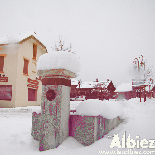
Latest snow reports near Albiez-Montrond:
Cloudless skies over Les Deux Alpes. No wind here. Thaw. No new snow. Only some lifts are open. Wet snow on the pistes. Insufficient off-piste snow for skiing. from Les Deux Alpes
Typical spring snow, firm in the morning, slushy in the afternoon. Light clouds dotting the sky. from Val Thorens

Tuesday 29 | Wednesday 30 | Thursday 1 | Friday 2 | Saturday 3 | Sunday 4 | Monday 5 | |||||||||||||||
AM | PM | night | AM | PM | night | AM | PM | night | AM | PM | night | AM | PM | night | AM | PM | night | AM | PM | night | |
clear | risk thun- der | rain shwrs | clear | risk thun- der | rain shwrs | clear | risk thun- der | rain shwrs | clear | some clouds | some clouds | some clouds | risk thun- der | rain shwrs | cloudy | risk thun- der | heavy rain | heavy rain | light rain | light rain | |
km/h | |||||||||||||||||||||
Snow map |  |  |  |  |  |  |  | ||||||||||||||
— | — | — | — | — | — | — | — | — | — | — | — | — | — | — | — | — | — | — | — | — | |
— | 2.0 | 4 | — | 1.0 | 1.0 | — | 1.0 | 1.0 | — | — | — | — | 1.0 | 5 | — | 7 | 13 | 18 | 3 | 5 | |
max°C | 8 | 10 | 8 | 10 | 12 | 10 | 12 | 14 | 12 | 14 | 16 | 14 | 15 | 16 | 11 | 13 | 14 | 11 | 7 | 7 | 5 |
min°C | 5 | 10 | 5 | 6 | 12 | 7 | 8 | 14 | 9 | 10 | 16 | 12 | 12 | 15 | 10 | 11 | 13 | 8 | 6 | 6 | 4 |
3 | 10 | 4 | 5 | 12 | 6 | 8 | 14 | 9 | 10 | 16 | 12 | 12 | 15 | 10 | 11 | 12 | 8 | 6 | 4 | 3 | |
54 | 59 | 69 | 35 | 49 | 73 | 41 | 56 | 68 | 31 | 46 | 58 | 44 | 56 | 75 | 52 | 71 | 82 | 87 | 99 | 99 | |
2900 | 3000 | 3000 | 3000 | 3200 | 3200 | 3350 | 3500 | 3700 | 3750 | 3800 | 3800 | 3700 | 3650 | 3550 | 3500 | 3550 | 3300 | 2950 | 2850 | 2550 | |
6:26 | — | — | 6:26 | — | — | 6:24 | — | — | 6:22 | — | — | 6:20 | — | — | 6:20 | — | — | 6:18 | — | — | |
— | — | 8:37 | — | — | 8:37 | — | — | 8:38 | — | — | 8:40 | — | — | 8:42 | — | — | 8:43 | — | — | 8:44 | |
Moderate rain (total 10.0mm), heaviest on Tue night. Very mild (max 14°C on Thu afternoon, min 5°C on Tue morning). Wind will be generally light.
Heavy rain (total 26.0mm), heaviest during Sun night. Very mild (max 16°C on Fri afternoon, min 8°C on Sun night). Wind will be generally light.
Latest snow reports near Albiez-Montrond:
Cloudless skies over Les Deux Alpes. No wind here. Thaw. No new snow. Only some lifts are open. Wet snow on the pistes. Insufficient off-piste snow for skiing. from Les Deux Alpes
Typical spring snow, firm in the morning, slushy in the afternoon. Light clouds dotting the sky. from Val Thorens
| Top snow depth: | — |
|---|---|
| Bottom snow depth: | — |
| Fresh snowfall depth: | — |
| Last snowfall: | 23 Apr 2025 |
| Snow Alerts | Create Alert |
0.1 | Bluebird Powder days Fresh snow, mostly sunny, light wind. |
|---|---|
0.7 | Powder days Fresh snow, limited sun, any wind. |
0.1 | Bluebird days Average snow, mostly sunny, light wind. |
The above table gives the weather forecast for Albiez-Montrond at the specific elevation of 1850 m. Our sophisticated weather models allow us to provide snow forecasts for the top, middle and bottom ski stations of Albiez-Montrond. To access the weather forecasts for the other elevations, use the tab navigation above the table. For a wider view of the weather, check out the Weather Map of France.
Click here to read further information on freezing levels and how we forecast our temperatures.
The Albiez-Montrond skiing weather widget is available to embed on external websites free of charge. It provides a daily summary of our Albiez-Montrond snow forecast and current weather conditions. Simply go to the feed configuration page and follow the 3 simple steps to grab the custom html code snippet and paste it into your own site. You can choose the snow forecast elevation (summit, mid-mountain or bottom lift) and metric/imperial units for the snow forecast feed to suit your own website…. Click here to get the code.
View detailed snow forecast for Albiez-Montrond at:
snow-forecast.com


 Nearest