
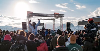
Tignes Unlimited Festival Into May
Tignes, one of the few French ski areas staying open into May, will round off the 2025–26 winter season with the return of the Tignes Unlimited electronic music festival, running from 25 April to 3 May 2026.

Next 3 days weather summary:Moderate rain (total 17.0mm), heaviest on Wed night. Mild temperatures (max 9°C on Tue night, min 4°C on Thu morning). Wind will be generally light. | Days 4-6 weather summary:Mostly dry. Mild temperatures (max 9°C on Fri afternoon, min 6°C on Sun morning). Wind will be generally light. | |||||||||||||||||
Tuesday 21 | Wednesday 22 | Thursday 23 | Friday 24 | Saturday 25 | Sunday 26 | |||||||||||||
AM | PM | night | AM | PM | night | AM | PM | night | AM | PM | night | AM | PM | night | AM | PM | night | |
clear | clear | clear | cloudy | light rain | heavy rain | light rain | light rain | clear | clear | clear | clear | clear | clear | some clouds | clear | clear | some clouds | |
km/h | ||||||||||||||||||
Snow map |  |  |  |  |  |  | ||||||||||||
— | — | — | — | — | — | — | — | — | — | — | — | — | — | — | — | — | — | |
— | — | — | — | 1 | 11 | 3 | 2 | — | — | — | — | — | — | — | — | — | — | |
max °C | 6 | 8 | 9 | 8 | 7 | 7 | 4 | 6 | 7 | 7 | 9 | 8 | 7 | 9 | 9 | 6 | 9 | 8 |
min °C | 5 | 7 | 6 | 7 | 7 | 5 | 4 | 5 | 7 | 7 | 8 | 7 | 7 | 9 | 7 | 6 | 8 | 7 |
2 | 5 | 3 | 5 | 6 | 5 | 4 | 5 | 6 | 5 | 6 | 5 | 5 | 8 | 5 | 3 | 6 | 5 | |
60 | 57 | 46 | 55 | 83 | 86 | 89 | 91 | 63 | 60 | 55 | 52 | 63 | 51 | 46 | 76 | 68 | 66 | |
2600 | 2750 | 2800 | 2750 | 2700 | 2550 | 2350 | 2600 | 3000 | 3350 | 3450 | 3500 | 3400 | 3350 | 3350 | 3300 | 3250 | 3300 | |
6:43 | — | — | 6:41 | — | — | 6:39 | — | — | 6:37 | — | — | 6:37 | — | — | 6:35 | — | — | |
— | — | 8:30 | — | — | 8:30 | — | — | 8:31 | — | — | 8:32 | — | — | 8:35 | — | — | 8:36 | |
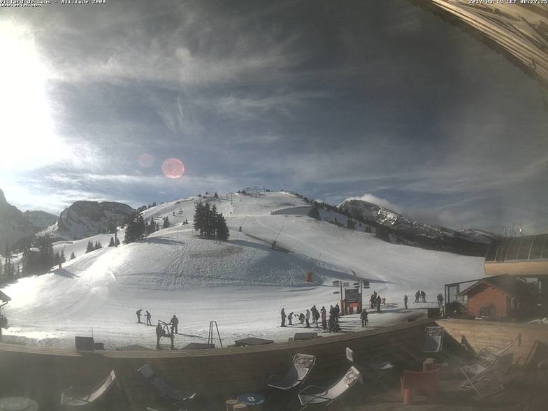
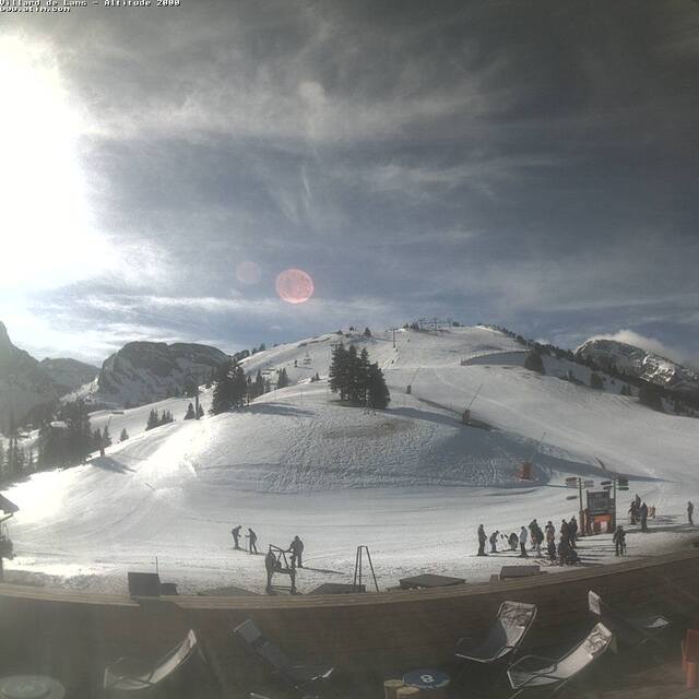
Latest snow reports near Villard-de-Lans:
| Top snow depth: | 0 cm |
|---|---|
| Bottom snow depth: | 0 cm |
| Fresh snowfall depth: | — |
| Last snowfall: | 13 Apr 2026 |
| Snow Alerts | Create Alert |
0.1 | Bluebird Powder days Fresh snow, mostly sunny, light wind. |
|---|---|
0.5 | Powder days Fresh snow, limited sun, any wind. |
0.4 | Bluebird days Average snow, mostly sunny, light wind. |
The above table gives the weather forecast for Villard-de-Lans at the specific elevation of 1610 m. Our sophisticated weather models allow us to provide snow forecasts for the top, middle and bottom ski stations of Villard-de-Lans. To access the weather forecasts for the other elevations, use the tab navigation above the table. For a wider view of the weather, check out the Weather Map of France.
Click here to read further information on freezing levels and how we forecast our temperatures.
Overall 4.2 Based on 18 votes and 10 reviews
It should be noted that the town of Villard de Lans has looked very closely at the visitor infrastructure over the past couple of years. There are now regular buses to and from Grenoble and they run into the night which they did not used to do. On our last visit in January there were more taxis running around than ever before and the tourist office is modern, helpful and informative. Property is available for rent in the tourist office and even if you turn up on the off chance they will do everything they can to find accommodation. More new lifts, snow cannon and fresh runs have made this an even better resort. It is really beautiful and being situated in a National Park means that this is likely to remain the stunning location it is.
Nick Stephenson from United Kingdom writes:
It should be noted that the town of Villard de Lans has looked very closely at the visitor infrastructure over the past couple of years.
There are now regular buses to and from Grenoble and they run into the night which they did not used to do. On our last visit in January there were more taxis running around than ever before and the tourist office is modern, helpful and informative.
Property is available for rent in the tourist office and even if you turn up on the off chance they will do everything they can to find accommodation.
More new lifts, snow cannon and fresh runs have made this an even better resort.
It is really beautiful and being situated in a National Park means that this is likely to remain the stunning location it is.


 Nearest