Issued by Snow-Forecast.com at:1 am (local time) / 21 Apr 2026
Last 6 daysScroll left for last 6 daysNow
Next 3 days weather summary:
Light rain (total 8.0mm), mostly falling on Wed afternoon. Mild temperatures (max 7°C on Tue afternoon, min 3°C on Tue morning). Wind will be generally light.
Days 4-6 weather summary:
Mostly dry. Very mild (max 10°C on Fri afternoon, min 5°C on Fri morning). Wind will be generally light.
The above table gives the weather forecast for Valmorel at the specific elevation of 1900 m. Our sophisticated weather models allow us to provide snow forecasts for the top, middle and bottom ski stations of Valmorel. To access the weather forecasts for the other elevations, use the tab navigation above the table. For a wider view of the weather, check out the Weather Map of France.
Click here to read further information on freezing levels and how we forecast our temperatures.
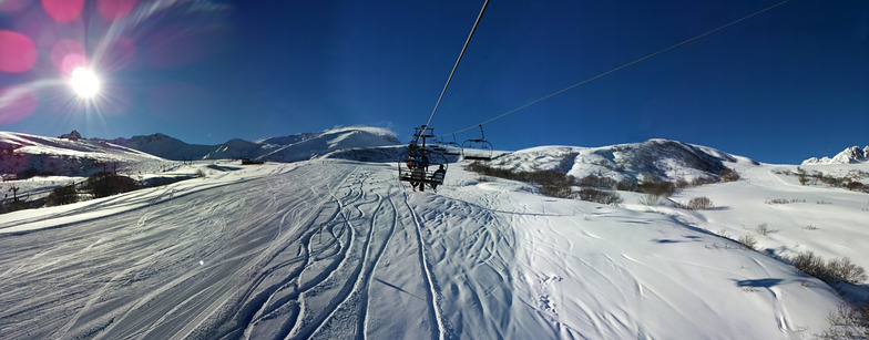
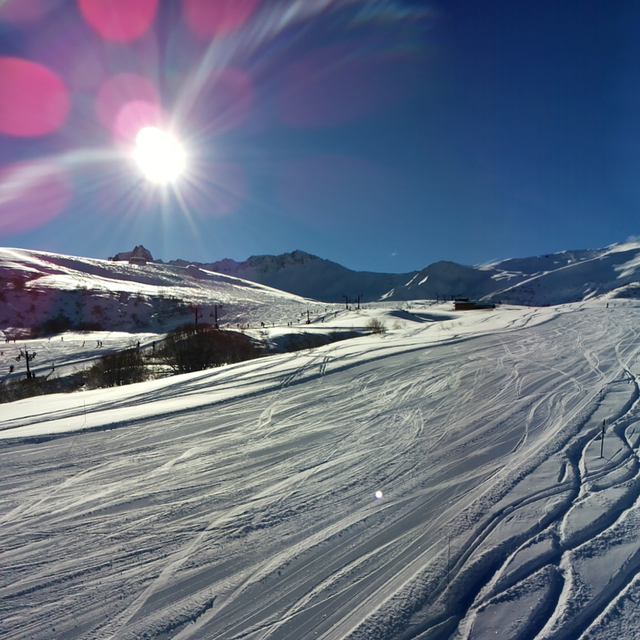
Been visiting Valmorel since 2019. Great intermediate to beginner resort linked to St Francois Longchomp via the famous Col de la Madeleine. Most of the skiing is between 1600m and 2300m so I've found it to be relatively ski sure, with only the runs to both Doucy and Valmorel villages requiring snow making assistance in poorer seasons, snow canons coverage is pretty extensive below 2000m. Valmorel village is very pretty, adopting chalet type architecture, despite it being a purpose built resort, and has a friendly laid back vibe. The skiing is quite diverse with some gentle greens and blues on the Valmorel, Doucy, Charmette and St Fran sides, with some great reds and blues around the Col De la Madeleine; the red off the top of Lauzierre down to CDM is particularly good as are all 4 runs back to Valmorel from the CDM. A good intermediate could probably cover the whole area in 3 days. Not much for expert skiers , there are a couple of blacks that are quite steep and narrow but these are mainly challenging as they are left un-pisted.
Cheaper than the neighboring three valleys and generally less busy (we always avoid Feb French holidays). Seems to be quite up and coming as there have been quite a few new hotels added in the last few years and new bubble and chairlift additions to increase capacity. Would highly recommend for beginners and intermediates.
Free Snow-Forecast.com weather widget for your website
Embed the Valmorel weather widget on your site for free. It provides a weekly snapshot of snow and rain conditions across all elevations. Follow the two quick steps to grab your custom code and paste it into your site. Choose between metric or imperial units. Click here to get the code.


 Nearest