

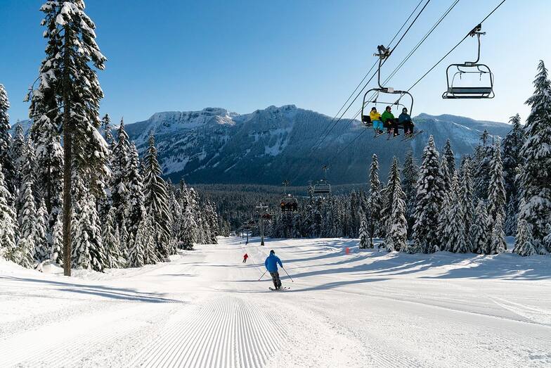
Massive Snowfall in the Alps
A huge snowfall is underway in the Alps, by far the biggest of the 24-25 season.
Please sign in with your Snow-Forecast account details below.

The Summit at Snoqualmie Weather (Next 3 days): The snow forecast for The Summit at Snoqualmie is: Mild with light rain (total 4.0mm) on Sat morning Becoming colder with a light covering of snow, mostly falling on Sun night. Freeze-thaw conditions (max 13°C on Fri afternoon, min -1°C on Sun night). Wind will be generally light.
The Summit at Snoqualmie Weather (Days 4-6): Mostly dry. Freeze-thaw conditions (max 8°C on Wed afternoon, min -1°C on Mon morning). Wind will be generally light.
| Resort | Snow Depth | Temp. (°C) | Wind (km/h) | Weather | ||
|---|---|---|---|---|---|---|
| Top Lift: | 7 | |||||
| Middle Lift: | 9 | |||||
| Bottom Lift: | 13 |
Latest snow reports near The Summit at Snoqualmie:

Friday 18 | Saturday 19 | Sunday 20 | Monday 21 | Tuesday 22 | Wednesday 23 | Thursday 24 | |||||||||||||||
AM | PM | night | AM | PM | night | AM | PM | night | AM | PM | night | AM | PM | night | AM | PM | night | AM | PM | night | |
clear | some clouds | some clouds | light rain | some clouds | cloudy | light snow | light rain | light snow | light snow | cloudy | cloudy | some clouds | some clouds | clear | clear | clear | some clouds | cloudy | cloudy | rain shwrs | |
km/h | |||||||||||||||||||||
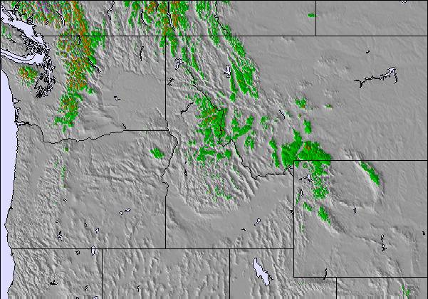
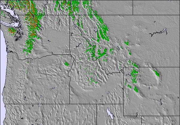
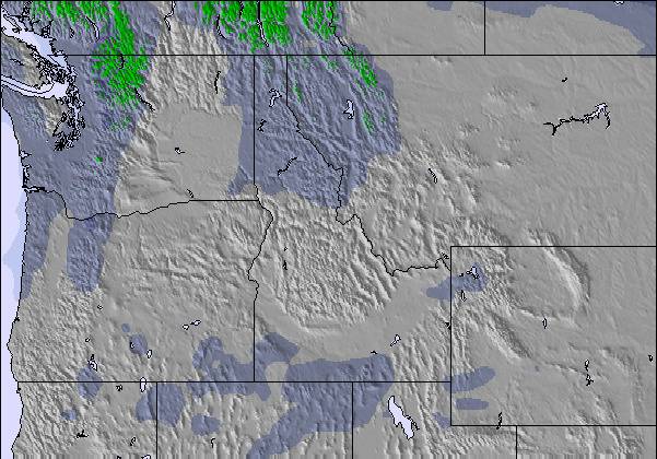
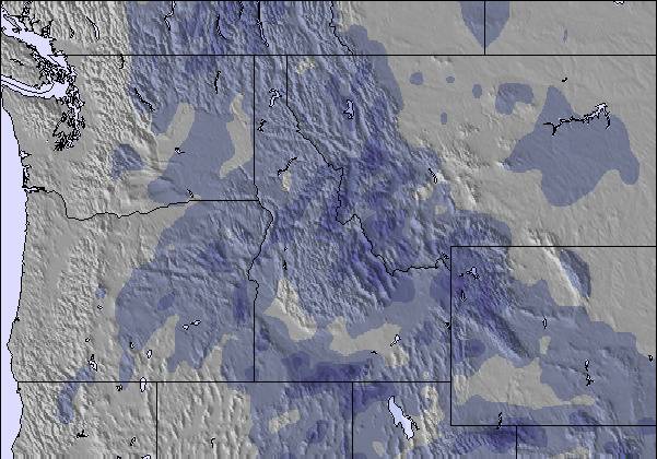
Snow map |  |  |  |  |  | 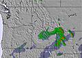 | 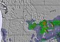 | ||||||||||||||
— | — | — | — | — | — | — | — | 5 | — | — | — | — | — | — | — | — | — | — | — | — | |
— | — | — | 2.0 | — | — | — | 2.0 | — | — | — | — | — | — | — | — | — | — | — | — | 1.0 | |
max°C | 12 | 13 | 10 | 3 | 7 | 4 | 1 | 2 | 2 | 1 | 3 | 2 | 3 | 6 | 3 | 6 | 8 | 7 | 10 | 12 | 9 |
min°C | 8 | 13 | 4 | 3 | 4 | 1 | 1 | 2 | -1 | -1 | 2 | -1 | 0 | 4 | 1 | 3 | 7 | 6 | 7 | 11 | 7 |
8 | 12 | 2 | 0 | 0 | -3 | -3 | -2 | -1 | -3 | -2 | -4 | -4 | 2 | -2 | 0 | 5 | 3 | 3 | 11 | 6 | |
34 | 37 | 61 | 90 | 64 | 89 | 93 | 91 | 97 | 83 | 81 | 85 | 81 | 62 | 65 | 58 | 51 | 57 | 43 | 56 | 59 | |
3200 | 3150 | 2400 | 1500 | 1850 | 1200 | 1150 | 1350 | 950 | 1050 | 1250 | 1100 | 1150 | 1500 | 1500 | 1700 | 2250 | 2550 | 2450 | 2250 | 2400 | |
6:13 | — | — | 6:11 | — | — | 6:11 | — | — | 6:09 | — | — | 6:07 | — | — | 6:05 | — | — | 6:03 | — | — | |
— | — | 8:00 | — | — | 8:02 | — | — | 8:04 | — | — | 8:05 | — | — | 8:07 | — | — | 8:07 | — | — | 8:09 | |
Mild with light rain (total 4.0mm) on Sat morning Becoming colder with a light covering of snow, mostly falling on Sun night. Freeze-thaw conditions (max 13°C on Fri afternoon, min -1°C on Sun night). Wind will be generally light.
Mostly dry. Freeze-thaw conditions (max 8°C on Wed afternoon, min -1°C on Mon morning). Wind will be generally light.
Latest snow reports near The Summit at Snoqualmie:
| Top snow depth: | — |
|---|---|
| Bottom snow depth: | — |
| Fresh snowfall depth: | — |
| Last snowfall: | 12 Apr 2025 |
| Snow Alerts | Create Alert |
0.0 | Bluebird Powder days Fresh snow, mostly sunny, light wind. |
|---|---|
0.8 | Powder days Fresh snow, limited sun, any wind. |
0.0 | Bluebird days Average snow, mostly sunny, light wind. |

The above table gives the weather forecast for The Summit at Snoqualmie at the specific elevation of 976 m. Our sophisticated weather models allow us to provide snow forecasts for the top, middle and bottom ski stations of The Summit at Snoqualmie. To access the weather forecasts for the other elevations, use the tab navigation above the table. For a wider view of the weather, check out the Weather Map of United States.
Click here to read further information on freezing levels and how we forecast our temperatures.
Overall 1.0 Based on 1 vote and 5 reviews
Snoqualmie has an okay terrain park at Central but overall the quality of snow varies and sometimes its referred to as rainqualmie due to the large amount of rain that it recieves, except on good years were the temps are a little cooler. The terrain is limited crystal is about 4 times as big but for being 45 mins away from seattle with night skiing available till 10 its worth considering.
Nick Booth from United States writes:
Snoqualmie has an okay terrain park at Central but overall the quality of snow varies and sometimes its referred to as rainqualmie due to the large amount of rain that it recieves, except on good years were the temps are a little cooler. The terrain is limited crystal is about 4 times as big but for being 45 mins away from seattle with night skiing available till 10 its worth considering.
Read 4 more reviews of The Summit at Snoqualmie or submit your own
The The Summit at Snoqualmie skiing weather widget is available to embed on external websites free of charge. It provides a daily summary of our The Summit at Snoqualmie snow forecast and current weather conditions. Simply go to the feed configuration page and follow the 3 simple steps to grab the custom html code snippet and paste it into your own site. You can choose the snow forecast elevation (summit, mid-mountain or bottom lift) and metric/imperial units for the snow forecast feed to suit your own website…. Click here to get the code.
View detailed snow forecast for The Summit at Snoqualmie at:
snow-forecast.com

 Nearest