

Japan’s Deepest Snowpack Grows as Tengendai Kogen Hits 780cm
Updated March 12, 2025: Japan’s deepest snowpack at Tengendai Kogen hits 780cm (312")! Nozawa Onsen hovers near 400cm (160")—more snow expected this week. Click for the full report.
Please sign in with your Snow-Forecast account details below.

Sundance Weather (Next 3 days): The snow forecast for Sundance is: A heavy fall of snow, heaviest during Thu night. Freeze-thaw conditions (max 3°C on Sun afternoon, min -7°C on Thu night). Wind will be generally light.
Sundance Weather (Days 4-6): Drizzle on Mon night followed by colder weather and a moderate fall of snow, heaviest on Tue morning. Freeze-thaw conditions (max 5°C on Mon afternoon, min -7°C on Tue night). Winds decreasing (strong winds from the SSW on Mon night, calm by Wed morning).
| Resort | Snow Depth | Temp. (°C) | Wind (km/h) | Weather | ||
|---|---|---|---|---|---|---|
| Top Lift: | 1.7 m | -7 | ||||
| Middle Lift: | -4 | |||||
| Bottom Lift: | 1.7 m | -2 |
Latest snow reports near Sundance:
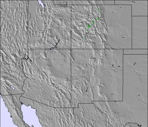
Light rain reported from Silver Springs wx at 6706 feet only 4 miles W of The Canyons but it is forecast cold enough for snow at the ski area from The Canyons

Friday 14 | Saturday 15 | Sunday 16 | Monday 17 | Tuesday 18 | Wednesday 19 | ||||||||||||||
night | AM | PM | night | AM | PM | night | AM | PM | night | AM | PM | night | AM | PM | night | AM | PM | night | |
heavy snow | snow shwrs | light snow | mod. snow | light snow | light snow | light snow | snow shwrs | cloudy | cloudy | cloudy | some clouds | light snow | light snow | snow shwrs | snow shwrs | some clouds | some clouds | some clouds | |
km/h | |||||||||||||||||||
Snow map | 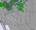 | 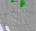 | 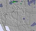 |  |  |  |  | ||||||||||||
10 | — | — | 7 | 2.0 | 1.0 | — | — | — | — | — | — | 3 | 5 | 2.0 | 1.0 | — | — | — | |
— | — | — | — | — | — | — | — | — | — | — | — | 1.0 | — | — | — | — | — | — | |
max°C | -3 | -5 | -4 | -4 | -5 | -3 | -4 | 1 | 3 | 3 | 3 | 5 | 4 | -5 | -5 | -6 | -4 | 0 | -1 |
min°C | -7 | -7 | -4 | -6 | -6 | -3 | -5 | -2 | 2 | 2 | 2 | 4 | -4 | -6 | -6 | -7 | -6 | -2 | -2 |
-14 | -11 | -9 | -11 | -11 | -7 | -9 | -7 | -2 | -2 | -2 | 0 | -10 | -13 | -14 | -12 | -6 | -4 | -2 | |
94 | 87 | 60 | 95 | 90 | 73 | 76 | 87 | 69 | 54 | 55 | 58 | 61 | 91 | 85 | 92 | 66 | 53 | 43 | |
1550 | 1250 | 1750 | 1500 | 1350 | 1750 | 1450 | 1800 | 2550 | 2750 | 2550 | 2650 | 2500 | 1550 | 1500 | 1200 | 1200 | 1900 | 1550 | |
— | 7:39 | — | — | 7:37 | — | — | 7:35 | — | — | 7:35 | — | — | 7:33 | — | — | 7:31 | — | — | |
— | — | 7:30 | — | — | 7:31 | — | — | 7:32 | — | — | 7:34 | — | — | 7:35 | — | — | 7:37 | — | |
A heavy fall of snow, heaviest during Thu night. Freeze-thaw conditions (max 3°C on Sun afternoon, min -7°C on Thu night). Wind will be generally light.
Drizzle on Mon night followed by colder weather and a moderate fall of snow, heaviest on Tue morning. Freeze-thaw conditions (max 5°C on Mon afternoon, min -7°C on Tue night). Winds decreasing (strong winds from the SSW on Mon night, calm by Wed morning).
Latest snow reports near Sundance:
Light rain reported from Silver Springs wx at 6706 feet only 4 miles W of The Canyons but it is forecast cold enough for snow at the ski area from The Canyons
| Top snow depth: | 168 cm |
|---|---|
| Bottom snow depth: | 168 cm |
| Fresh snowfall depth: | — |
| Last snowfall: | 7 Mar 2025 |
| Snow Alerts | Create Alert |
0.3 | Bluebird Powder days Fresh snow, mostly sunny, light wind. |
|---|---|
1.0 | Powder days Fresh snow, limited sun, any wind. |
0.4 | Bluebird days Average snow, mostly sunny, light wind. |
The above table gives the weather forecast for Sundance at the specific elevation of 2187 m. Our sophisticated weather models allow us to provide snow forecasts for the top, middle and bottom ski stations of Sundance. To access the weather forecasts for the other elevations, use the tab navigation above the table. For a wider view of the weather, check out the Weather Map of United States.
Click here to read further information on freezing levels and how we forecast our temperatures.
Sundance does an excellent job grooming the snow they have. This is my first year with a season pass and I have skied every week and somehow the snow is always good enough.
Scott Hammond from United States writes:
Sundance does an excellent job grooming the snow they have. This is my first year with a season pass and I have skied every week and somehow the snow is always good enough.
The Sundance skiing weather widget is available to embed on external websites free of charge. It provides a daily summary of our Sundance snow forecast and current weather conditions. Simply go to the feed configuration page and follow the 3 simple steps to grab the custom html code snippet and paste it into your own site. You can choose the snow forecast elevation (summit, mid-mountain or bottom lift) and metric/imperial units for the snow forecast feed to suit your own website…. Click here to get the code.
View detailed snow forecast for Sundance at:
snow-forecast.com

 Nearest