

French Ski Areas Announce 2025 Summer Ski Plans
Three French ski areas have announced their opening plans in May, June and July after the winter season ends on May 4th.
Please sign in with your Snow-Forecast account details below.

Stevens Pass Weather (Next 3 days): The snow forecast for Stevens Pass is: Light rain (total 2.0mm), mostly falling on Wed night. Freeze-thaw conditions (max 8°C on Mon afternoon, min 0°C on Wed morning). Wind will be generally light.
Stevens Pass Weather (Days 4-6): A dusting of new snow. Freeze-thaw conditions (max 8°C on Fri afternoon, min -3°C on Sat night). Wind will be generally light.
| Resort | Snow Depth | Temp. (°C) | Wind (km/h) | Weather | ||
|---|---|---|---|---|---|---|
| Top Lift: | 0.0 m | 3 | ||||
| Middle Lift: | 4 | |||||
| Bottom Lift: | 0.0 m | 3 |
Latest snow reports near Stevens Pass:

Monday 14 | Tuesday 15 | Wednesday 16 | Thursday 17 | Friday 18 | Saturday 19 | Sunday 20 | |||||||||||||||
AM | PM | night | AM | PM | night | AM | PM | night | AM | PM | night | AM | PM | night | AM | PM | night | AM | PM | night | |
some clouds | some clouds | clear | some clouds | clear | some clouds | some clouds | clear | rain shwrs | clear | clear | clear | clear | clear | some clouds | some clouds | snow shwrs | light snow | light snow | light snow | mod. snow | |
km/h | |||||||||||||||||||||
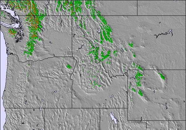
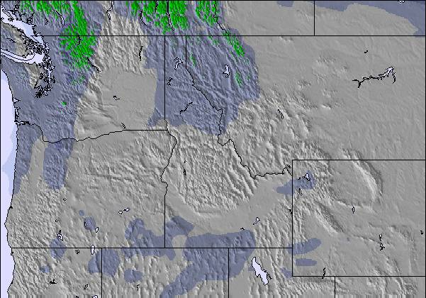
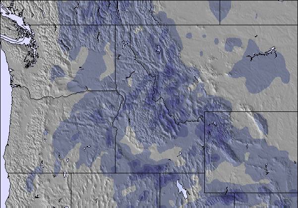
Snow map |  |  |  |  |  |  |  | ||||||||||||||
— | — | — | — | — | — | — | — | — | — | — | — | — | — | — | — | — | 2.0 | 2.0 | 1.0 | 10 | |
— | — | — | — | — | — | — | — | 2.0 | — | — | — | — | — | — | — | — | — | — | — | — | |
max°C | 4 | 8 | 8 | 6 | 8 | 6 | 2 | 5 | 3 | 4 | 7 | 5 | 5 | 8 | 6 | 0 | 0 | 0 | -3 | -2 | -2 |
min°C | 4 | 7 | 6 | 5 | 8 | 1 | 0 | 3 | 2 | 1 | 6 | 2 | 3 | 7 | 1 | 0 | 0 | -3 | -3 | -2 | -4 |
2 | 6 | 5 | 3 | 6 | -2 | -2 | 0 | 0 | 0 | 5 | 0 | 3 | 6 | -2 | -3 | -3 | -7 | -7 | -6 | -8 | |
66 | 58 | 60 | 72 | 51 | 74 | 75 | 62 | 43 | 26 | 25 | 43 | 40 | 45 | 70 | 95 | 90 | 97 | 95 | 95 | 98 | |
2750 | 2900 | 2800 | 2700 | 2650 | 2050 | 1850 | 2100 | 1800 | 2000 | 2300 | 1900 | 2400 | 2900 | 2500 | 1600 | 1550 | 1100 | 1050 | 1250 | 1100 | |
6:18 | — | — | 6:16 | — | — | 6:13 | — | — | 6:11 | — | — | 6:11 | — | — | 6:09 | — | — | 6:07 | — | — | |
— | 7:52 | — | — | 7:53 | — | — | 7:54 | — | — | 7:57 | — | — | 7:58 | — | — | — | 8:00 | — | — | 8:00 | |
Light rain (total 2.0mm), mostly falling on Wed night. Freeze-thaw conditions (max 8°C on Mon afternoon, min 0°C on Wed morning). Wind will be generally light.
A dusting of new snow. Freeze-thaw conditions (max 8°C on Fri afternoon, min -3°C on Sat night). Wind will be generally light.
Latest snow reports near Stevens Pass:
| Top snow depth: | 0 cm |
|---|---|
| Bottom snow depth: | 0 cm |
| Fresh snowfall depth: | 12 cm |
| Last snowfall: | 12 Apr 2025 |
| Snow Alerts | Create Alert |
0.6 | Bluebird Powder days Fresh snow, mostly sunny, light wind. |
|---|---|
1.8 | Powder days Fresh snow, limited sun, any wind. |
0.3 | Bluebird days Average snow, mostly sunny, light wind. |
The above table gives the weather forecast for Stevens Pass at the specific elevation of 1506 m. Our sophisticated weather models allow us to provide snow forecasts for the top, middle and bottom ski stations of Stevens Pass. To access the weather forecasts for the other elevations, use the tab navigation above the table. For a wider view of the weather, check out the Weather Map of United States.
Click here to read further information on freezing levels and how we forecast our temperatures.
Overall 3.1 Based on 43 votes and 41 reviews
I've been skiing at Stevens as a passholder since the 2013-2014 season. That was a legendary low snow year, but Stevens stayed open, groomed heroically, and kept almost the entire resort open. This year we have epic quantities of snow, but even during the peak holiday season, almost nothing is open: the backside is closed, Big Chief Mountain is closed, popular frontside trails were ungroomed, and only two intermediate lifts are open for night skiing (vs. five in all past seasons). It's a total disaster -- Stevens is so understaffed this season that ski patrollers and park crews are running the few lifts that are open at all. Someone needs to fire the corporate management and start over.
Miles Erickson from United States writes:
I've been skiing at Stevens as a passholder since the 2013-2014 season. That was a legendary low snow year, but Stevens stayed open, groomed heroically, and kept almost the entire resort open.
This year we have epic quantities of snow, but even during the peak holiday season, almost nothing is open: the backside is closed, Big Chief Mountain is closed, popular frontside trails were ungroomed, and only two intermediate lifts are open for night skiing (vs. five in all past seasons).
It's a total disaster -- Stevens is so understaffed this season that ski patrollers and park crews are running the few lifts that are open at all. Someone needs to fire the corporate management and start over.
The Stevens Pass skiing weather widget is available to embed on external websites free of charge. It provides a daily summary of our Stevens Pass snow forecast and current weather conditions. Simply go to the feed configuration page and follow the 3 simple steps to grab the custom html code snippet and paste it into your own site. You can choose the snow forecast elevation (summit, mid-mountain or bottom lift) and metric/imperial units for the snow forecast feed to suit your own website…. Click here to get the code.
View detailed snow forecast for Stevens Pass at:
snow-forecast.com

 Nearest