
Ski Lessons by SkiBro
BOOK NOW
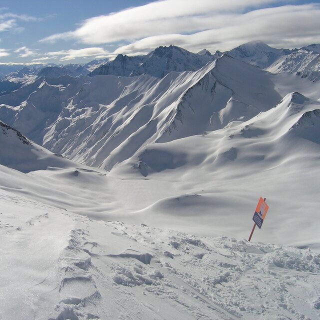
Ski lessons in Serfaus
Book now

Serfaus Weather (Next 3 days): The snow forecast for Serfaus is: A light covering of new snow, mostly falling on Mon night. Freeze-thaw conditions (max 1°C on Sun night, min -4°C on Tue night). Wind will be generally light.
Serfaus Weather (Days 4-6): Some drizzle, heaviest during Fri night. Freeze-thaw conditions (max 4°C on Fri afternoon, min -4°C on Wed night). Wind will be generally light.
| Resort | Snow Depth | Temp. (°C) | Wind (km/h) | Weather | ||
|---|---|---|---|---|---|---|
| Top Lift: | 0 | |||||
| Middle Lift: | 5 | |||||
| Bottom Lift: | 8 |
Latest snow reports near Serfaus:
Rain reported from Pitztaler Gletscher at 2848 metres elevation only 4 kms SSE of Pitztal Glacier but it is forecast cold enough for snow at higher elevations in the ski area from Pitztal Glacier

Monday 6 | Tuesday 7 | Wednesday 8 | Thursday 9 | Friday 10 | Saturday 11 | ||||||||||||||
night | AM | PM | night | AM | PM | night | AM | PM | night | AM | PM | night | AM | PM | night | AM | PM | night | |
snow shwrs | cloudy | light snow | light snow | light snow | light snow | light snow | light snow | light snow | light snow | some clouds | some clouds | some clouds | clear | some clouds | light rain | cloudy | cloudy | snow shwrs | |
km/h | |||||||||||||||||||
Snow map |  |  |  |  |  |  |  | ||||||||||||
— | — | 1.0 | 3 | — | 1.0 | 3 | 1.0 | — | — | — | — | — | — | — | — | — | — | — | |
— | — | — | — | — | — | — | — | — | — | — | — | — | — | — | 1.0 | — | — | — | |
max°C | 1 | 0 | 1 | -2 | -3 | -2 | -3 | -4 | -4 | -1 | 0 | 1 | 1 | 1 | 4 | 2 | 1 | 2 | 1 |
min°C | -1 | 0 | 0 | -3 | -3 | -3 | -4 | -4 | -4 | -4 | 0 | 1 | 0 | 1 | 3 | 1 | 1 | 2 | 1 |
-6 | -4 | -4 | -3 | -6 | -6 | -7 | -8 | -7 | -7 | -2 | 1 | 0 | 1 | 1 | 1 | 1 | 0 | -1 | |
85 | 82 | 98 | 97 | 97 | 94 | 98 | 99 | 98 | 73 | 62 | 87 | 58 | 62 | 66 | 85 | 81 | 76 | 65 | |
2800 | 2900 | 2750 | 2400 | 2350 | 2500 | 2250 | 2150 | 2250 | 2350 | 2800 | 2900 | 2950 | 2950 | 3350 | 3050 | 2900 | 3050 | 2950 | |
— | 5:54 | — | — | 5:52 | — | — | 5:50 | — | — | 5:48 | — | — | 5:48 | — | — | 5:47 | — | — | |
— | — | — | 8:35 | — | — | 8:36 | — | — | 8:37 | — | — | 8:38 | — | — | 8:39 | — | — | 8:42 | |
A light covering of new snow, mostly falling on Mon night. Freeze-thaw conditions (max 1°C on Sun night, min -4°C on Tue night). Wind will be generally light.
Some drizzle, heaviest during Fri night. Freeze-thaw conditions (max 4°C on Fri afternoon, min -4°C on Wed night). Wind will be generally light.
Latest snow reports near Serfaus:
Rain reported from Pitztaler Gletscher at 2848 metres elevation only 4 kms SSE of Pitztal Glacier but it is forecast cold enough for snow at higher elevations in the ski area from Pitztal Glacier
| Top snow depth: | — |
|---|---|
| Bottom snow depth: | — |
| Fresh snowfall depth: | 3 cm |
| Last snowfall: | 3 May 2024 |
| Snow Alerts | Create Alert |
0.5 | Bluebird Powder days Fresh snow, mostly sunny, light wind. |
|---|---|
2.0 | Powder days Fresh snow, limited sun, any wind. |
0.6 | Bluebird days Average snow, mostly sunny, light wind. |
The above table gives the weather forecast for Serfaus at the specific elevation of 2820 m. Our sophisticated weather models allow us to provide snow forecasts for the top, middle and bottom ski stations of Serfaus. To access the weather forecasts for the other elevations, use the tab navigation above the table. For a wider view of the weather, check out the Weather Map of Austria.
Click here to read further information on freezing levels and how we forecast our temperatures.
Overall 4.2 Based on 13 votes and 6 reviews
Serfaus/Fiss/Ladis is for me the place to be! I'm going there for several years now and it keeps me surprising with their modern infrastructure and awesome village. Every year you can expect something new and the kindness of the people there is fabulous. You can hit from small to big pistes and from easy to maximum extreme. Plansegg, Frommes, Mittelabfarht and Gampen are my personal favourites. Also, for the snowboarders like me it is very nice, the park keeps on growing and the shapers do their best to create a high quality park. Pistes, food, kindness, hotels, infrastructure, they all fit perfectly together. Thumbs up Serfaus/Fiss/ladis, you've got me hooked up! :-)
Kurt from Belgium writes:
Serfaus/Fiss/Ladis is for me the place to be!
I'm going there for several years now and it keeps me surprising with their modern infrastructure and awesome village.
Every year you can expect something new and the kindness of the people there is fabulous.
You can hit from small to big pistes and from easy to maximum extreme.
Plansegg, Frommes, Mittelabfarht and Gampen are my personal favourites.
Also, for the snowboarders like me it is very nice, the park keeps on growing and the shapers do their best to create a high quality park.
Pistes, food, kindness, hotels, infrastructure, they all fit perfectly together.
Thumbs up Serfaus/Fiss/ladis, you've got me hooked up! :-)
The Serfaus skiing weather widget is available to embed on external websites free of charge. It provides a daily summary of our Serfaus snow forecast and current weather conditions. Simply go to the feed configuration page and follow the 3 simple steps to grab the custom html code snippet and paste it into your own site. You can choose the snow forecast elevation (summit, mid-mountain or bottom lift) and metric/imperial units for the snow forecast feed to suit your own website…. Click here to get the code.
View detailed snow forecast for Serfaus at:
snow-forecast.com


 Nearest