Issued by Snow-Forecast.com at:1 am (local time) / 14 May 2026
Last 6 daysScroll left for last 6 daysNow
Next 3 days weather summary:
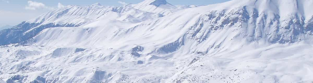
A heavy fall of snow, heaviest during Thu afternoon. Freeze-thaw conditions (max 1°C on Thu morning, min -2°C on Thu night). Wind will be generally light.
Days 4-6 weather summary:
Light rain (total 5.0mm) at first, then becoming colder with a dusting of snow on Mon night. Freeze-thaw conditions (max 9°C on Tue afternoon, min -1°C on Mon night). Wind will be generally light.
The above table gives the weather forecast for See at the specific elevation of 1745 m. Our sophisticated weather models allow us to provide snow forecasts for the top, middle and bottom ski stations of See. To access the weather forecasts for the other elevations, use the tab navigation above the table. For a wider view of the weather, check out the Weather Map of Austria.
Click here to read further information on freezing levels and how we forecast our temperatures.
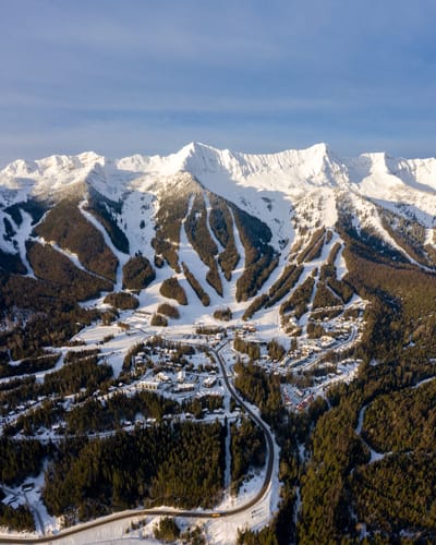
What an absolutely brilliant and under-rated ski area! We stayed in See for 4 weeks (Feb-March, as part of a whole ski season) because it was cheap. We expected to ski there occasionally, and to get the ski bus to Ischgl most days. Boy, was I wrong! We ended up staying in See most days due to the excellent terrain, the uncrowded slopes, the cheap food, and the relaxed atmosphere and we actually ended up avoiding Ischgl.
It's easy to be unimpressed initially when looking at a piste map of See... only 4 lifts of any size (excluding the T-bars). But, wow, if ever there was a ski area that proves it's not the number of lifts but what you do with them, then surely See is it. Particularly if you catch this place after a fresh dump of snow, there simply is nowhere better.
The off-piste potential is amazing. Huge areas of excellent terrain to the left and right of Rossmoos lift, at a perfect red gradient, which remain untracked for days due to the low people density. And that's just for starters. Head over to the relatively new Versing lift, over in its own valley, and you are literally spoilt for freeride choice. This one single lift can keep you happy for days after a dump.
We heard that another lift is already approved and awaiting construction for the 22/23 season which will go up to Medrigjoch and open up vast freeride areas to the right of Rossmoos, and ending up below at the no. 1 valley run. There is also talk (as yet fruitless) of joining the area with Serfaus/Fiss/Ladis, which is just on the other side of the ridge, not least because Serfaus suffers from it's predominantly south-facing aspect.
Add to all of that cheap and excellent food, 1500m of vertical, and predominantly north-facing slopes, and you have one of the best and most overlooked small resorts in Austria. It's simply great, and we will definitely be back. Explore it before the crowds find it!
PS: the apres-ski in See is quite chilled, and obviously not up there with the likes of Ischgl, but hey, Ischgl is just a free 20 min bus ride away.
Free Snow-Forecast.com weather widget for your website
Embed the See weather widget on your site for free. It provides a weekly snapshot of snow and rain conditions across all elevations. Follow the two quick steps to grab your custom code and paste it into your site. Choose between metric or imperial units. Click here to get the code.


 Nearest