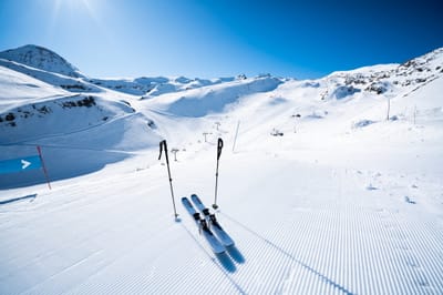
The snow forecast for Sainte Foy is: Mostly dry. Freeze-thaw conditions (max 3°C on Fri morning, min -2°C on Sat night). Wind will be generally light.
Sainte Foy Weather (Next 3 days): The snow forecast for Sainte Foy is: Mostly dry. Freeze-thaw conditions (max 3°C on Fri morning, min -2°C on Sat night). Wind will be generally light.
Sainte Foy Weather (Days 4-6): Drizzle at first, then turning colder with dusting of snow on Wed afternoon. Freeze-thaw conditions (max 2°C on Mon morning, min -1°C on Mon night). Wind will be generally light.
Issued by Snow-Forecast.com at:12 pm (local time) / 06 Mar 2026
Sainte Foy Weather
(Next 3 days):
The snow forecast for Sainte Foy is: Mostly dry. Freeze-thaw conditions (max 3°C on Fri morning, min -2°C on Sat night). Wind will be generally light.
Sainte Foy Weather (Days 4-6):
Drizzle at first, then turning colder with dusting of snow on Wed afternoon. Freeze-thaw conditions (max 2°C on Mon morning, min -1°C on Mon night). Wind will be generally light.
Sainte Foy Weather (Days 7-16):
Interested in the 16-day Forecast? Unlock the full forecast and many more features by becoming a Pro member.
Mostly dry. Freeze-thaw conditions (max 3°C on Fri morning, min -2°C on Sat night). Wind will be generally light.
Next 4-6 days weather summary:
Drizzle at first, then turning colder with dusting of snow on Wed afternoon. Freeze-thaw conditions (max 2°C on Mon morning, min -1°C on Mon night). Wind will be generally light.
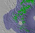
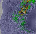
The above table gives the weather forecast for Sainte Foy at the specific elevation of 2082 m. Our sophisticated weather models allow us to provide snow forecasts for the top, middle and bottom ski stations of Sainte Foy. To access the weather forecasts for the other elevations, use the tab navigation above the table. For a wider view of the weather, check out the Weather Map of France.
Click here to read further information on freezing levels and how we forecast our temperatures.
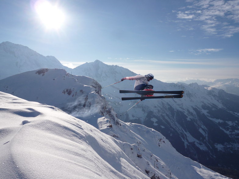
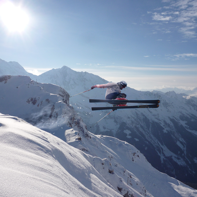
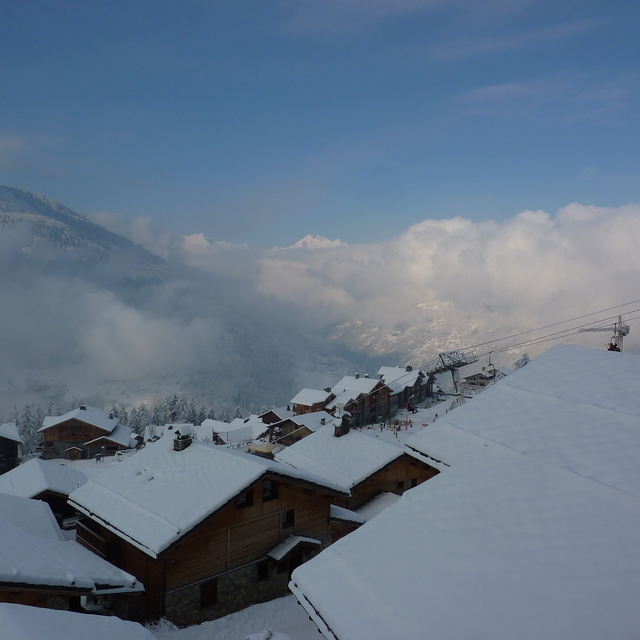
2nd -10th Feb 2019: just got back from our ninth season skiing in Sainte Foy. As usual, it was fabulous; a resort that is all about the quality of the skiing rather than the quantity. If all you are interested in is looking at your app at the end of the day and seeing how fast you went and how far, then please don't waste anyones time, and stay on the valley road to Tignes and Val. Plenty for beginners and families to ski, and for those more adventurous of us put on your ABS bag and explore the limitless terrain. True, there are not many bars and certainly no clubs. But the restaurants are excellent and at the end of the day a beer with the instructors, lift attendants and pisteurs is something to treasure.
2nd -10th Feb 2019: just got back from our ninth season skiing in Sainte Foy. As usual, it was fabulous; a resort that is all about the quality of the skiing rather than the quantity. If all you are interested in is looking at your app at the end of the day and seeing how fast you went and how far, then please don't waste anyones time, and stay on the valley road to Tignes and Val. Plenty for beginners and families to ski, and for those more adventurous of us put on your ABS bag and explore the limitless terrain. True, there are not many bars and certainly no clubs. But the restaurants are excellent and at the end of the day a beer with the instructors, lift attendants and pisteurs is something to treasure.
Free Snow-Forecast.com weather widget for your website
Embed the Sainte Foy weather widget on your site for free. It provides a weekly snapshot of snow and rain conditions across all elevations. Follow the two quick steps to grab your custom code and paste it into your site. Choose between metric or imperial units. Click here to get the code.


 Nearest