
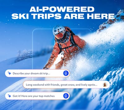
Is AI About to Change How We Plan Ski Trips?
Meet WeSki.ai - the new AI-powered trip planner from the ski experts at WeSki that turns your ideas into a fully planned ski trip in seconds, simply by describing what you want.

Next 3 days weather summary:A light covering of new snow, mostly falling on Fri afternoon. Becoming milder with light rain (total 2.0mm) on Sun afternoon. Freeze-thaw conditions (max 5°C on Sun afternoon, min -5°C on Fri night). Wind will be generally light. | Days 4-6 weather summary:Moderate rain (total 15.0mm), heaviest on Mon afternoon. Mild temperatures (max 8°C on Wed afternoon, min 2°C on Mon morning). Wind will be generally light. | |||||||||||||||||
Friday 15 | Saturday 16 | Sunday 17 | Monday 18 | Tuesday 19 | Wednesday 20 | |||||||||||||
AM | PM | night | AM | PM | night | AM | PM | night | AM | PM | night | AM | PM | night | AM | PM | night | |
light snow | light snow | light snow | snow shwrs | light snow | snow shwrs | some clouds | rain shwrs | rain shwrs | rain shwrs | light rain | light rain | light rain | light rain | rain shwrs | clear | rain shwrs | clear | |
km/h | ||||||||||||||||||
Snow map |  |  |  |  |  |  | ||||||||||||
2 | 2 | 2 | — | — | — | — | — | — | — | — | — | — | — | — | — | — | — | |
— | — | — | — | — | — | — | 1 | 1 | 1 | 4 | 1 | 2 | 2 | 4 | — | 1 | — | |
max °C | -3 | -1 | -3 | -3 | 0 | -1 | 2 | 5 | 3 | 3 | 4 | 3 | 3 | 6 | 5 | 6 | 8 | 7 |
min °C | -4 | -2 | -5 | -5 | -1 | -2 | 0 | 5 | 1 | 2 | 3 | 2 | 2 | 5 | 2 | 4 | 8 | 6 |
-4 | -5 | -9 | -9 | -4 | -4 | 0 | 4 | 1 | 2 | 0 | 0 | 0 | 3 | 0 | 3 | 7 | 5 | |
88 | 81 | 92 | 73 | 76 | 74 | 54 | 68 | 89 | 74 | 85 | 86 | 96 | 81 | 89 | 70 | 69 | 57 | |
1700 | 1850 | 1400 | 1700 | 2050 | 1550 | 2350 | 2600 | 2200 | 2450 | 2450 | 2350 | 2550 | 2850 | 2650 | 2850 | 3000 | 3350 | |
6:01 | — | — | 6:00 | — | — | 5:58 | — | — | 5:58 | — | — | 5:56 | — | — | 5:56 | — | — | |
— | — | 8:55 | — | — | 8:57 | — | — | 8:58 | — | — | 8:59 | — | — | 9:00 | — | — | 9:00 | |
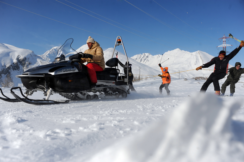
Latest snow reports near La Thuile:
Resort is closed for the season. Snowing lightly, refreshing pistes. from La Giettaz en Aravis
| Top snow depth: | — |
|---|---|
| Bottom snow depth: | — |
| Fresh snowfall depth: | 8 cm |
| Last snowfall: | 14 May 2026 |
| Snow Alerts | Create Alert |
0.1 | Bluebird Powder days Fresh snow, mostly sunny, light wind. |
|---|---|
0.3 | Powder days Fresh snow, limited sun, any wind. |
0.2 | Bluebird days Average snow, mostly sunny, light wind. |
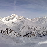
The above table gives the weather forecast for La Thuile at the specific elevation of 2046 m. Our sophisticated weather models allow us to provide snow forecasts for the top, middle and bottom ski stations of La Thuile. To access the weather forecasts for the other elevations, use the tab navigation above the table. For a wider view of the weather, check out the Weather Map of Italy.
Click here to read further information on freezing levels and how we forecast our temperatures.
Overall 3.8 Based on 42 votes and 37 reviews
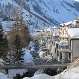
Just back from La Thuile. Truly a hidden gem. If you are an intermediate cruiser you will find fantastic long runs that go from valley to valley, with excellent lifts, well groomed slopes and the variety aspect; to ski over to France (on the same ski pass). In the village we stayed at the 5 star Montana Lodge, which was worth every penny and it costed less than a 3 star hotel in Courchevel, but was truly 5 star. Minimal lift queues, excellent views, good snow and a charming village. Mountain huts have charm (but the food in Corvara, Courmayeur is better).
walter from South Africa writes:
Just back from La Thuile. Truly a hidden gem. If you are an intermediate cruiser you will find fantastic long runs that go from valley to valley, with excellent lifts, well groomed slopes and the variety aspect; to ski over to France (on the same ski pass). In the village we stayed at the 5 star Montana Lodge, which was worth every penny and it costed less than a 3 star hotel in Courchevel, but was truly 5 star. Minimal lift queues, excellent views, good snow and a charming village. Mountain huts have charm (but the food in Corvara, Courmayeur is better).


 Nearest