

Protect Our Winters Launches Campaign for the International Year of Glacier Preservation
Glaciers are disappearing at an alarming rate. Following 2024, the hottest year on record, urgent action is needed to protect the world’s frozen water towers.
Please sign in with your Snow-Forecast account details below.


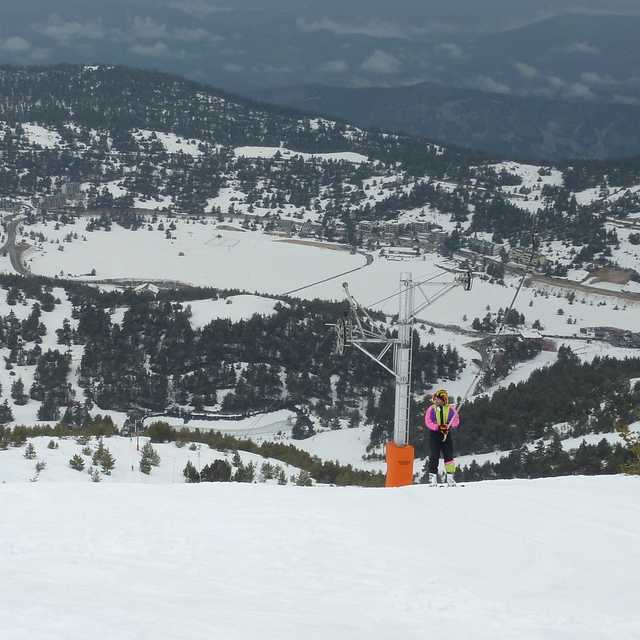
Gréolières Les Neiges Weather (Next 3 days): The snow forecast for Gréolières Les Neiges is: A light covering of new snow, mostly falling on Tue afternoon. Freeze-thaw conditions (max 7°C on Thu afternoon, min -1°C on Tue afternoon). Wind will be generally light.
Gréolières Les Neiges Weather (Days 4-6): Light rain (total 2.0mm), mostly falling on Sat night. Mild temperatures (max 8°C on Thu night, min 6°C on Fri morning). Wind will be generally light.
| Resort | Snow Depth | Temp. (°C) | Wind (km/h) | Weather | ||
|---|---|---|---|---|---|---|
| Top Lift: | 3 | |||||
| Middle Lift: | 4 | |||||
| Bottom Lift: | 4 |
Latest snow reports near Gréolières Les Neiges:

Tuesday 1 | Wednesday 2 | Thursday 3 | Friday 4 | Saturday 5 | Sunday 6 | ||||||||||||||
night | AM | PM | night | AM | PM | night | AM | PM | night | AM | PM | night | AM | PM | night | AM | PM | night | |
some clouds | light snow | mod. snow | snow shwrs | cloudy | cloudy | some clouds | some clouds | clear | clear | clear | some clouds | some clouds | clear | some clouds | rain shwrs | clear | rain shwrs | rain shwrs | |
km/h | |||||||||||||||||||
Snow map | 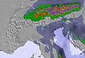 | 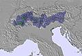 | 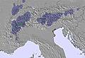 | 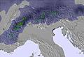 | 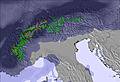 | 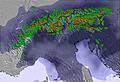 | 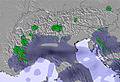 | ||||||||||||
— | — | 6 | — | — | — | — | — | — | — | — | — | — | — | — | — | — | — | — | |
— | — | — | — | — | — | — | — | — | — | — | — | — | — | — | 1.0 | — | 1.0 | 2.0 | |
max°C | 5 | 1 | -1 | 0 | 1 | 3 | 3 | 5 | 7 | 8 | 7 | 8 | 7 | 6 | 7 | 8 | 8 | 8 | 8 |
min°C | 2 | 0 | -1 | 0 | 1 | 2 | 3 | 4 | 6 | 7 | 6 | 7 | 6 | 6 | 7 | 8 | 8 | 8 | 5 |
2 | -2 | -6 | -5 | -4 | -3 | -1 | 2 | 6 | 7 | 6 | 7 | 6 | 5 | 6 | 7 | 8 | 8 | 3 | |
68 | 99 | 82 | 71 | 76 | 82 | 76 | 66 | 66 | 63 | 67 | 66 | 78 | 82 | 71 | 65 | 72 | 75 | 88 | |
2100 | 1550 | 1450 | 1650 | 1850 | 2050 | 2200 | 2700 | 3000 | 3150 | 3150 | 3100 | 3000 | 2950 | 3100 | 2900 | 2900 | 2900 | 2700 | |
— | 7:13 | — | — | 7:13 | — | — | 7:11 | — | — | 7:09 | — | — | 7:07 | — | — | 7:05 | — | — | |
— | — | 7:58 | — | — | 7:59 | — | — | — | 8:00 | — | — | 8:00 | — | — | 8:02 | — | — | 8:04 | |
A light covering of new snow, mostly falling on Tue afternoon. Freeze-thaw conditions (max 7°C on Thu afternoon, min -1°C on Tue afternoon). Wind will be generally light.
Light rain (total 2.0mm), mostly falling on Sat night. Mild temperatures (max 8°C on Thu night, min 6°C on Fri morning). Wind will be generally light.
Latest snow reports near Gréolières Les Neiges:
| Top snow depth: | — |
|---|---|
| Bottom snow depth: | — |
| Fresh snowfall depth: | — |
| Last snowfall: | 24 Mar 2025 |
| Snow Alerts | Create Alert |
0.1 | Bluebird Powder days Fresh snow, mostly sunny, light wind. |
|---|---|
0.1 | Powder days Fresh snow, limited sun, any wind. |
0.3 | Bluebird days Average snow, mostly sunny, light wind. |

The above table gives the weather forecast for Gréolières Les Neiges at the specific elevation of 1600 m. Our sophisticated weather models allow us to provide snow forecasts for the top, middle and bottom ski stations of Gréolières Les Neiges. To access the weather forecasts for the other elevations, use the tab navigation above the table. For a wider view of the weather, check out the Weather Map of France.
Click here to read further information on freezing levels and how we forecast our temperatures.
Resort name is also written as Greolieres Les Neiges.
Overall 3.1 Based on 16 votes and 5 reviews
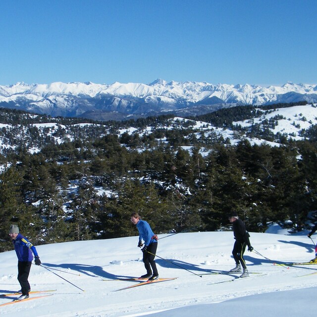
Gréolières est une petite station de l'arrière pays Niçois et a un micro climat favorable à de très basses températures nocturnes, ce qui préserve une bonne neige malgré un large ensoleillement et parfois des températures de l'air assez douces et agréables en journée. Les pistes de ski alpin sont dotées de canon ce qui garantit la quantité de neige. Les pistes de ski de fond sont très bien entretenues et assez sportives (peu de plat si ce n'est tout en haut des pistes) mais l'effort est largement récompensé par la magnifique vue que l'on a au bout de ses efforts! Les alentours proches permettent de faire de la raquette ou de la petite randonnée en ski (secteur moyenne montagne) Vaut le détour surtout au sommet du Cheiron où skis aux pieds on voit la mer!
Isabelle from France writes:
Gréolières est une petite station de l'arrière pays Niçois et a un micro climat favorable à de très basses températures nocturnes, ce qui préserve une bonne neige malgré un large ensoleillement et parfois des températures de l'air assez douces et agréables en journée. Les pistes de ski alpin sont dotées de canon ce qui garantit la quantité de neige. Les pistes de ski de fond sont très bien entretenues et assez sportives (peu de plat si ce n'est tout en haut des pistes) mais l'effort est largement récompensé par la magnifique vue que l'on a au bout de ses efforts! Les alentours proches permettent de faire de la raquette ou de la petite randonnée en ski (secteur moyenne montagne) Vaut le détour surtout au sommet du Cheiron où skis aux pieds on voit la mer!
Read 4 more reviews of Gréolières Les Neiges or submit your own
The Gréolières Les Neiges skiing weather widget is available to embed on external websites free of charge. It provides a daily summary of our Gréolières Les Neiges snow forecast and current weather conditions. Simply go to the feed configuration page and follow the 3 simple steps to grab the custom html code snippet and paste it into your own site. You can choose the snow forecast elevation (summit, mid-mountain or bottom lift) and metric/imperial units for the snow forecast feed to suit your own website…. Click here to get the code.
View detailed snow forecast for Gréolières Les Neiges at:
snow-forecast.com

 Nearest