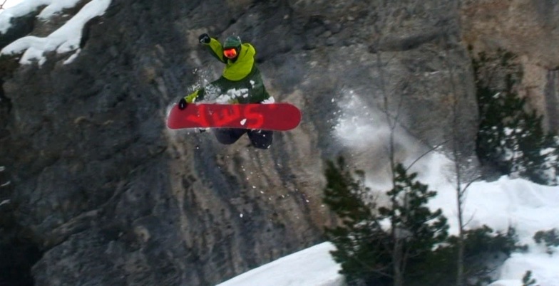

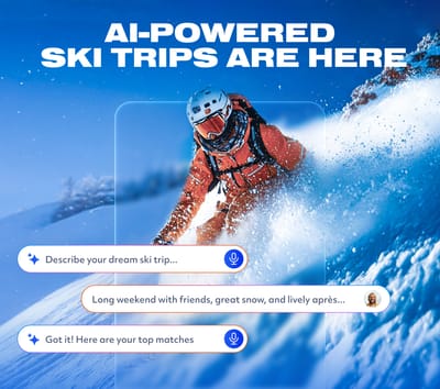
Is AI About to Change How We Plan Ski Trips?
Meet WeSki.ai - the new AI-powered trip planner from the ski experts at WeSki that turns your ideas into a fully planned ski trip in seconds, simply by describing what you want.

Next 3 days weather summary:A light fall of snow, heaviest on Tue morning. Turning milder with light rain (total 4.0mm) on Wed night. Freeze-thaw conditions (max 8°C on Wed afternoon, min -2°C on Tue morning). Wind will be generally light. | Days 4-6 weather summary:Mild at first with light rain (total 8.0mm) on Fri afternoon followed by colder weather and light fall of snow, heaviest on Sat morning. Freeze-thaw conditions (max 5°C on Sun afternoon, min 0°C on Fri morning). Wind will be generally light. | |||||||||||||||||
Tuesday 12 | Wednesday 13 | Thursday 14 | Friday 15 | Saturday 16 | Sunday 17 | |||||||||||||
AM | PM | night | AM | PM | night | AM | PM | night | AM | PM | night | AM | PM | night | AM | PM | night | |
snow shwrs | rain shwrs | some clouds | some clouds | cloudy | light snow | light snow | light snow | light snow | light snow | light snow | mod. snow | light snow | light snow | snow shwrs | rain shwrs | rain shwrs | rain shwrs | |
km/h | ||||||||||||||||||
Snow map |  |  |  |  |  |  | ||||||||||||
4 | — | — | — | — | 1 | 3 | 4 | — | — | 1 | 7 | 4 | 1 | — | — | — | — | |
— | 1 | — | — | — | 3 | — | — | — | — | 2 | — | — | — | — | 1 | 3 | 2 | |
max °C | 0 | 3 | 3 | 5 | 8 | 6 | 1 | 1 | 1 | 2 | 3 | 1 | 0 | 1 | 2 | 3 | 5 | 4 |
min °C | -2 | 1 | 0 | 1 | 7 | 2 | 1 | 0 | -1 | 0 | 2 | 0 | 0 | 0 | 1 | 1 | 5 | 3 |
-5 | -3 | -2 | 1 | 6 | 2 | 1 | -2 | -3 | 0 | 1 | -2 | -2 | 0 | 1 | 0 | 5 | 3 | |
63 | 45 | 57 | 51 | 59 | 96 | 97 | 96 | 88 | 89 | 98 | 100 | 99 | 97 | 83 | 81 | 79 | 85 | |
1400 | 1700 | 1350 | 2050 | 2250 | 1800 | 1550 | 1450 | 1350 | 1650 | 1650 | 1400 | 1400 | 1600 | 1600 | 1800 | 2050 | 1900 | |
5:43 | — | — | 5:41 | — | — | 5:39 | — | — | 5:39 | — | — | 5:37 | — | — | 5:37 | — | — | |
— | — | 8:40 | — | — | 8:42 | — | — | 8:43 | — | — | 8:45 | — | — | 8:45 | — | — | 8:46 | |
Latest snow reports near Garmisch-Classic:
Drizzle reported from Flughafen Innsbruck Automatic Weather Station at 593 metres elevation only 4 kms WNW of Muttereralm but it is forecast cold enough for snow at higher elevations in the ski area from Muttereralm
Light rain reported from Flughafen Innsbruck Automatic Weather Station at 593 metres elevation 8 kms NNE of Axamer Lizum but it is forecast cold enough for snow at higher elevations in the ski area from Axamer Lizum
Shower light rain shower reported from Flughafen Innsbruck Automatic Weather Station at 721 metres elevation 8 kms NNE of Axamer Lizum but it is forecast cold enough for snow at higher elevations in the ski area from Axamer Lizum
| Top snow depth: | — |
|---|---|
| Bottom snow depth: | — |
| Fresh snowfall depth: | 3 cm |
| Last snowfall: | 11 May 2026 |
| Snow Alerts | Create Alert |
0.0 | Bluebird Powder days Fresh snow, mostly sunny, light wind. |
|---|---|
0.0 | Powder days Fresh snow, limited sun, any wind. |
0.0 | Bluebird days Average snow, mostly sunny, light wind. |
The above table gives the weather forecast for Garmisch-Classic at the specific elevation of 1375 m. Our sophisticated weather models allow us to provide snow forecasts for the top, middle and bottom ski stations of Garmisch-Classic. To access the weather forecasts for the other elevations, use the tab navigation above the table. For a wider view of the weather, check out the Weather Map of Germany.
Click here to read further information on freezing levels and how we forecast our temperatures.
Overall 3.9 Based on 19 votes and 1 review
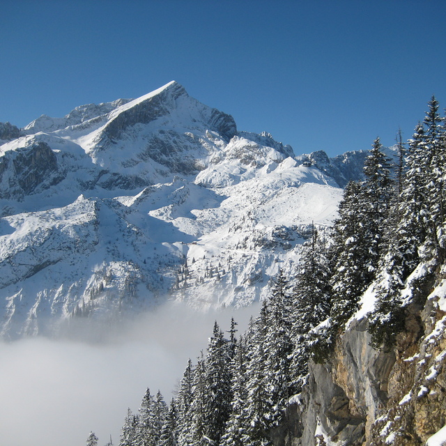
I was in Garmisch-Classic on 20th February 2011. It happened that at the same day the final of FIS Alpine Ski was held there. However, I did not watch the games, nor did they affect considerably the function of the ski center except from the fact that the lower part of Kandahar run was closed. The distance from Munich is by train (around 90 min). The daily ticket for lifts: 34 euro. Ski rental: 25 euro/day. One needs more than 1 day to ski whole center (maybe 2 days full ski is ok to ski everywhere). I started at Hausberg with easy 7. Then I tried the wonderful 4 (Olympia Abfahrt). Then I used Kreuzeckbahn and at the top I skied 11 (Hexenkessel) [very nice piste]. Finally through the ski path numbered 13 (and the famous Troegltunell - this is a tunnel with snow in order to keep ski center working during races held in Kandahar) I returned to Hausbegbahn. It has not snowed for 3 weeks. However, the snow was in good condition and only in some places was a bit hard packed. I loved Garmisch-Classic and can't wait to go back there and visit all the pistes that I missed on 20th Feb. 2011. Go there! Very beautiful ski center with fantastic surroundings. Best experience: ski run numbered 4 = Olympia Abfahrt = ski through pine forest!!
Derion from Greece writes:
I was in Garmisch-Classic on 20th February 2011. It happened that at the same day the final of FIS Alpine Ski was held there. However, I did not watch the games, nor did they affect considerably the function of the ski center except from the fact that the lower part of Kandahar run was closed. The distance from Munich is by train (around 90 min). The daily ticket for lifts: 34 euro. Ski rental: 25 euro/day. One needs more than 1 day to ski whole center (maybe 2 days full ski is ok to ski everywhere). I started at Hausberg with easy 7. Then I tried the wonderful 4 (Olympia Abfahrt). Then I used Kreuzeckbahn and at the top I skied 11 (Hexenkessel) [very nice piste]. Finally through the ski path numbered 13 (and the famous Troegltunell - this is a tunnel with snow in order to keep ski center working during races held in Kandahar) I returned to Hausbegbahn. It has not snowed for 3 weeks. However, the snow was in good condition and only in some places was a bit hard packed. I loved Garmisch-Classic and can't wait to go back there and visit all the pistes that I missed on 20th Feb. 2011. Go there! Very beautiful ski center with fantastic surroundings. Best experience: ski run numbered 4 = Olympia Abfahrt = ski through pine forest!!


 Nearest