

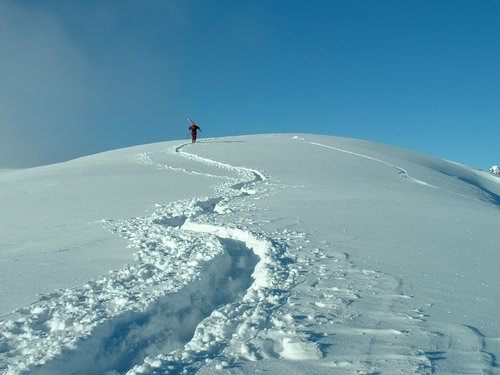
French Ski Areas Announce 2025 Summer Ski Plans
Three French ski areas have announced their opening plans in May, June and July after the winter season ends on May 4th.
Please sign in with your Snow-Forecast account details below.

Craigieburn Weather (Next 3 days): The snow forecast for Craigieburn is: Moderate rain (total 11.0mm), heaviest on Thu night. Freeze-thaw conditions (max 9°C on Fri morning, min 0°C on Tue afternoon). Wind will be generally light.
Craigieburn Weather (Days 4-6): Heavy rain (total 39.0mm), heaviest during Sun night. Very mild (max 12°C on Fri night, min 7°C on Sun night). Winds decreasing (fresh winds from the NNW on Sat night, calm by Sun night).
| Resort | Snow Depth | Temp. (°C) | Wind (km/h) | Weather | ||
|---|---|---|---|---|---|---|
| Top Lift: | 0 | |||||
| Middle Lift: | 1 | |||||
| Bottom Lift: | 2 |
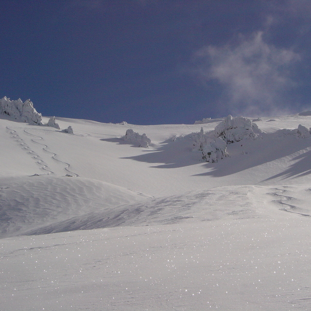
Latest snow reports near Craigieburn:
Recent light rain reported from Arthur's Pass National Park Visitor Centre at 737 metres elevation only 3 kms S of Temple Basin but it is forecast cold enough for snow at the ski area from Temple Basin

Tue 15 | Wednesday 16 | Thursday 17 | Friday 18 | Saturday 19 | Sunday 20 | Monday 21 | ||||||||||||||
PM | night | AM | PM | night | AM | PM | night | AM | PM | night | AM | PM | night | AM | PM | night | AM | PM | night | |
cloudy | cloudy | cloudy | cloudy | some clouds | cloudy | light rain | mod. rain | light rain | cloudy | light rain | light rain | rain shwrs | heavy rain | light rain | rain shwrs | heavy rain | light rain | light rain | heavy rain | |
km/h | ||||||||||||||||||||
Snow map | 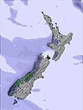 |  |  |  |  |  |  | |||||||||||||
— | — | — | — | — | — | — | — | — | — | — | — | — | — | — | — | — | — | — | — | |
— | — | — | — | — | — | 1.0 | 9 | 1.0 | — | 2.0 | 3 | 2.0 | 11 | 2.0 | 1.0 | 16 | 2.0 | 3 | 17 | |
max°C | 1 | 1 | 1 | 1 | 2 | 5 | 6 | 7 | 9 | 11 | 12 | 11 | 11 | 10 | 10 | 11 | 10 | 7 | 8 | 7 |
min°C | 0 | 1 | 0 | 1 | 1 | 4 | 6 | 5 | 8 | 10 | 10 | 10 | 10 | 9 | 9 | 10 | 7 | 7 | 7 | 7 |
0 | -2 | -3 | -1 | -1 | 3 | 5 | 3 | 7 | 9 | 8 | 7 | 7 | 6 | 6 | 8 | 7 | 6 | 6 | 6 | |
98 | 99 | 97 | 95 | 89 | 65 | 75 | 99 | 92 | 80 | 71 | 88 | 78 | 92 | 87 | 85 | 100 | 99 | 99 | 100 | |
1850 | 2350 | 3200 | 3450 | 3600 | 3700 | 3250 | 3500 | 3450 | 3400 | 3500 | 3450 | 3300 | 3400 | 3400 | 3350 | 3400 | 3350 | 3300 | 3250 | |
— | — | 7:05 | — | — | 7:05 | — | — | 7:07 | — | — | 7:09 | — | — | 7:09 | — | — | 7:11 | — | — | |
6:00 | — | — | 6:00 | — | — | 5:58 | — | — | 5:55 | — | — | 5:54 | — | — | 5:52 | — | — | 5:52 | — | |
Moderate rain (total 11.0mm), heaviest on Thu night. Freeze-thaw conditions (max 9°C on Fri morning, min 0°C on Tue afternoon). Wind will be generally light.
Heavy rain (total 39.0mm), heaviest during Sun night. Very mild (max 12°C on Fri night, min 7°C on Sun night). Winds decreasing (fresh winds from the NNW on Sat night, calm by Sun night).
Latest snow reports near Craigieburn:
Recent light rain reported from Arthur's Pass National Park Visitor Centre at 737 metres elevation only 3 kms S of Temple Basin but it is forecast cold enough for snow at the ski area from Temple Basin
| Top snow depth: | — |
|---|---|
| Bottom snow depth: | — |
| Fresh snowfall depth: | 2 cm |
| Last snowfall: | 14 Apr 2025 |
| Snow Alerts | Create Alert |
0.1 | Bluebird Powder days Fresh snow, mostly sunny, light wind. |
|---|---|
0.1 | Powder days Fresh snow, limited sun, any wind. |
0.1 | Bluebird days Average snow, mostly sunny, light wind. |
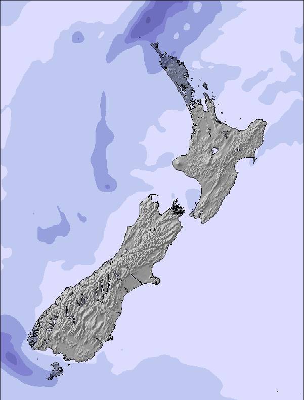
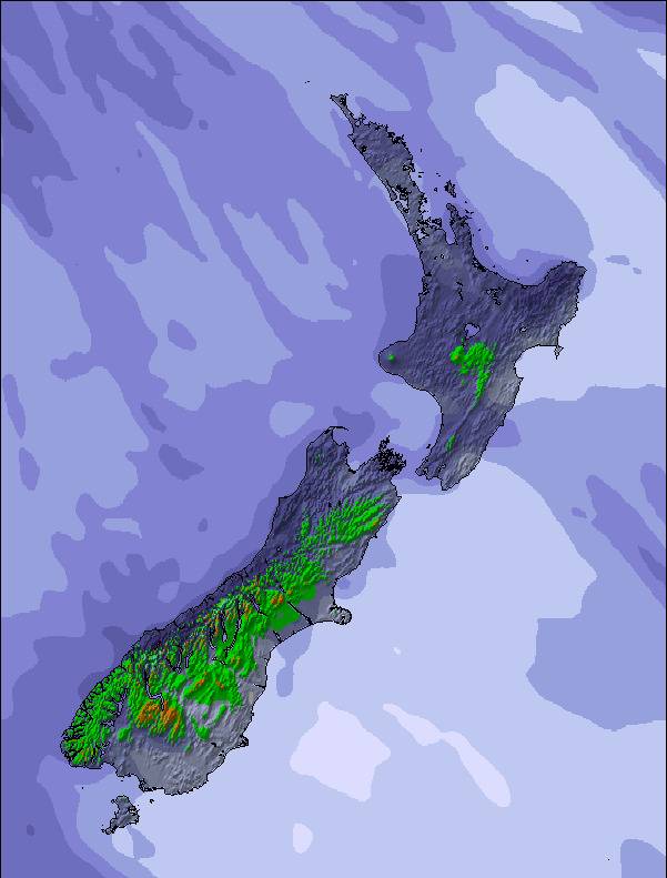
The above table gives the weather forecast for Craigieburn at the specific elevation of 1672 m. Our sophisticated weather models allow us to provide snow forecasts for the top, middle and bottom ski stations of Craigieburn. To access the weather forecasts for the other elevations, use the tab navigation above the table. For a wider view of the weather, check out the Weather Map of New Zealand.
Click here to read further information on freezing levels and how we forecast our temperatures.
Overall 3.2 Based on 8 votes and 3 reviews
Hi Snow-Forecast team, you have a great site and we use it often. As some more information, Craigieburn and Broken River ski areas are next door neighbours!! It's an easy ski over to Broken River from Hamilton Col at Craigieburn (5/10 minutes, depending on conditions) and a 1/2-1hour walk (once again, depending on conditions) back along the ridge line from Broken River to Craigieburn. So in essence, Craigieburn and Broken River are the closest resorts to each other!! In fact on a topo map our main lifts are 2km apart!! Hope this is of some use.
Nick Jarman from New Zealand writes:
Hi Snow-Forecast team, you have a great site and we use it often.
As some more information, Craigieburn and Broken River ski areas are next door neighbours!! It's an easy ski over to Broken River from Hamilton Col at Craigieburn (5/10 minutes, depending on conditions) and a 1/2-1hour walk (once again, depending on conditions) back along the ridge line from Broken River to Craigieburn. So in essence, Craigieburn and Broken River are the closest resorts to each other!! In fact on a topo map our main lifts are 2km apart!!
Hope this is of some use.
The Craigieburn skiing weather widget is available to embed on external websites free of charge. It provides a daily summary of our Craigieburn snow forecast and current weather conditions. Simply go to the feed configuration page and follow the 3 simple steps to grab the custom html code snippet and paste it into your own site. You can choose the snow forecast elevation (summit, mid-mountain or bottom lift) and metric/imperial units for the snow forecast feed to suit your own website…. Click here to get the code.
View detailed snow forecast for Craigieburn at:
snow-forecast.com

 Nearest