

Global Weekly Snow Roundup #314
Weekly Global Snow News, updated 14 May 2026: Fresh snowfall in Argentina, Australia and Lesotho signals winter’s approach, while Japan maintains the world’s deepest snowpack.

Next 3 days weather summary:A dusting of snow turning to light rain (total 9.0mm) on Mon afternoon. Freeze-thaw conditions (max 6°C on Sun afternoon, min -5°C on Sat morning). Wind will be generally light. | Days 4-6 weather summary:Light rain (total 7.0mm), mostly falling on Tue afternoon. Very mild (max 14°C on Thu afternoon, min 3°C on Tue morning). Wind will be generally light. | |||||||||||||||||
Saturday 16 | Sunday 17 | Monday 18 | Tuesday 19 | Wednesday 20 | Thursday 21 | |||||||||||||
AM | PM | night | AM | PM | night | AM | PM | night | AM | PM | night | AM | PM | night | AM | PM | night | |
snow shwrs | light snow | snow shwrs | some clouds | rain shwrs | snow shwrs | light rain | light rain | light snow | some clouds | light rain | rain shwrs | clear | rain shwrs | rain shwrs | clear | clear | clear | |
km/h | ||||||||||||||||||
Snow map |  |  |  |  |  |  | ||||||||||||
— | 1 | — | — | — | — | — | — | — | — | — | — | — | — | — | — | — | — | |
— | — | — | — | 1 | 1 | 1 | 5 | 1 | — | 3 | 2 | — | 1 | 1 | — | — | — | |
max °C | -2 | 0 | -1 | 3 | 6 | 4 | 3 | 3 | 3 | 4 | 4 | 5 | 8 | 10 | 9 | 11 | 14 | 12 |
min °C | -5 | 0 | -2 | 0 | 5 | 2 | 2 | 3 | 1 | 3 | 4 | 4 | 5 | 10 | 6 | 8 | 14 | 9 |
-8 | -2 | -2 | 0 | 4 | 2 | 2 | 1 | 0 | 3 | 2 | 2 | 4 | 9 | 5 | 8 | 14 | 9 | |
75 | 79 | 71 | 50 | 60 | 81 | 78 | 79 | 96 | 77 | 96 | 89 | 64 | 64 | 67 | 35 | 45 | 57 | |
1700 | 2000 | 1500 | 2350 | 2600 | 2300 | 2400 | 2400 | 2200 | 2600 | 2700 | 2750 | 3000 | 3200 | 3550 | 3600 | 3700 | 4000 | |
6:00 | — | — | 5:58 | — | — | 5:58 | — | — | 5:56 | — | — | 5:54 | — | — | 5:54 | — | — | |
— | — | 8:57 | — | — | 8:58 | — | — | 8:59 | — | — | 9:00 | — | — | 9:01 | — | — | 9:02 | |
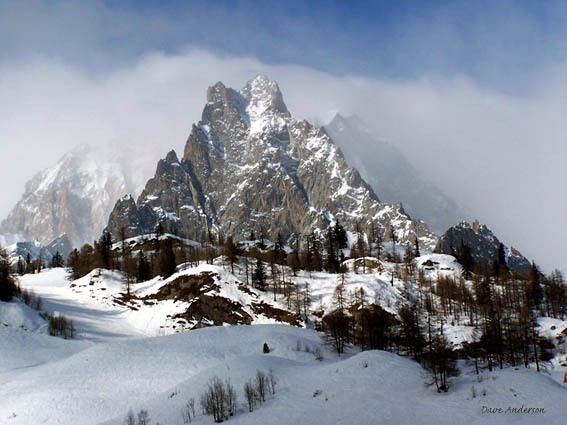
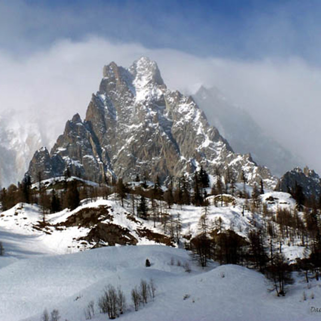
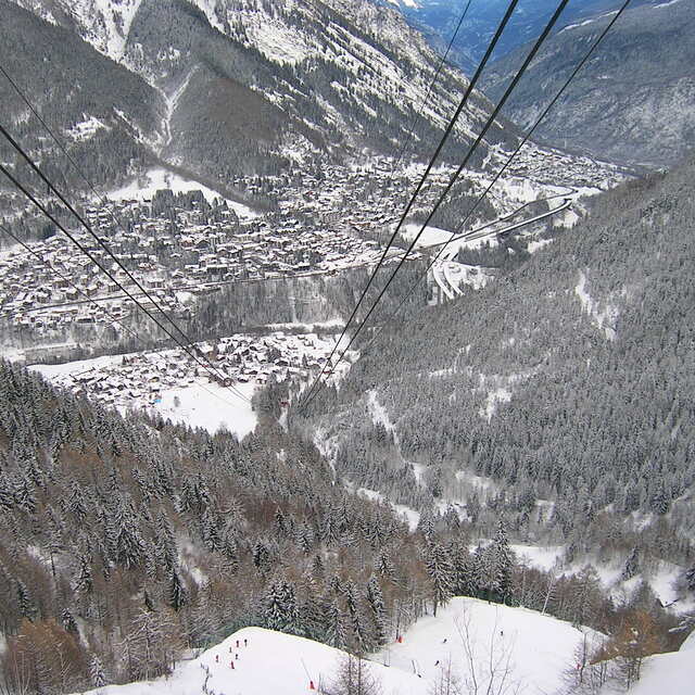
Latest snow reports near Courmayeur:
Resort is closed for the season. Snowing lightly, refreshing pistes. from La Giettaz en Aravis
| Top snow depth: | — |
|---|---|
| Bottom snow depth: | — |
| Fresh snowfall depth: | 11 cm |
| Last snowfall: | 15 May 2026 |
| Snow Alerts | Create Alert |
0.0 | Bluebird Powder days Fresh snow, mostly sunny, light wind. |
|---|---|
0.2 | Powder days Fresh snow, limited sun, any wind. |
0.0 | Bluebird days Average snow, mostly sunny, light wind. |

The above table gives the weather forecast for Courmayeur at the specific elevation of 1982 m. Our sophisticated weather models allow us to provide snow forecasts for the top, middle and bottom ski stations of Courmayeur. To access the weather forecasts for the other elevations, use the tab navigation above the table. For a wider view of the weather, check out the Weather Map of Italy.
Click here to read further information on freezing levels and how we forecast our temperatures.
Overall 4.0 Based on 28 votes and 22 reviews
Was in Courmayeur in Jan 2019. Have to agree with much of what another reviewer said. Good skiing for beginners and intermediates. We had fabulous weather and it was great to sit outside and enjoy a daytime beer or eat half way up/down the mountain. Lovely but small town, some nice restaurants and a few good bars but generally the town is very quiet. If you want a buzzing night life, Courmayeur is not for you. BTW - you must take half a day off skiing to take the Skyway (lift) which is a short bus ride from Courmayeur town to Punta Helbronner, 3466m up Monte Blanc. Fabulous views going up and from the viewing platform at the top.
Rick from United Kingdom writes:
Was in Courmayeur in Jan 2019. Have to agree with much of what another reviewer said.
Good skiing for beginners and intermediates. We had fabulous weather and it was great to sit outside and enjoy a daytime beer or eat half way up/down the mountain.
Lovely but small town, some nice restaurants and a few good bars but generally the town is very quiet. If you want a buzzing night life, Courmayeur is not for you.
BTW - you must take half a day off skiing to take the Skyway (lift) which is a short bus ride from Courmayeur town to Punta Helbronner, 3466m up Monte Blanc. Fabulous views going up and from the viewing platform at the top.


 Nearest