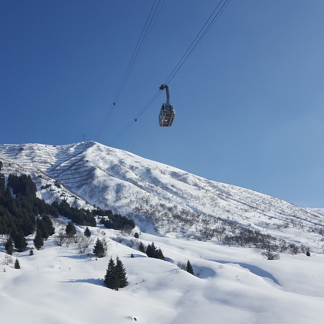
Andermatt snow
Ski Switzerland

Andermatt Snow Forecast

Weather Forecast for Andermatt at 2200 m
Issued: 7 am  15 Apr 2025 (local time)

New snow in Andermatt

2.8cm1.1in
Tue 15th (AM)
The snow forecast for Andermatt is: A heavy fall of snow, heaviest during Wed night. Becoming milder with light rain (total 6.0mm) on Wed night. Freeze-thaw conditions (max 2°C on Tue morning, min 0°C on Wed morning). Wind will be generally light.

Andermatt Weather (Next 3 days): The snow forecast for Andermatt is: A heavy fall of snow, heaviest during Wed night. Becoming milder with light rain (total 6.0mm) on Wed night. Freeze-thaw conditions (max 2°C on Tue morning, min 0°C on Wed morning). Wind will be generally light.

Andermatt Weather (Days 4-6): A heavy fall of snow, heaviest during Sat night. Freeze-thaw conditions (max 1°C on Fri morning, min -4°C on Sat night). Wind will be generally light.


Andermatt Live Weather

ResortSnow DepthTemp. (°C)Wind (km/h)Weather
Top Lift: 1.0m
-2
10
light snow
Middle Lift: 
2
10
light snow
Bottom Lift: 
5
5
light rain
Powered by Snow-Forecast.comSnow-Forecast.com
6 Day Forecast
Issued: 7 am 15 Apr 2025 / Updates in ::
Change Forecast Height
Choose Forecast
Last 6 daysScroll left for last 6 daysNow
Tuesday
15
Wednesday
16
Thursday
17
Friday
18
Saturday
19
Sunday
20
Monday
21
AM
PM
night
AM
PM
night
AM
PM
night
AM
PM
night
AM
PM
night
AM
PM
night
AM
PM
night
light snow
light snow
light snow
snow showers
light snow
mod snow
light snow
light snow
light snow
light snow
part cloud
part cloud
light snow
light snow
heavy snow
light snow
light snow
mod snow
mod snow
light snow
light snow
light snow
light snow
light snow
snow shwrs
light snow
mod. snow
light snow
light snow
light snow
light snow
some clouds
some clouds
light snow
light snow
heavy snow
light snow
light snow
mod. snow
mod. snow
light snow
light snow
 km/h
10
S
15
SSE
25
SSE
20
SSE
10
SE
20
SSE
5
ESE
5
N
5
SW
10
S
10
S
10
SSE
15
SSE
10
SE
5
NNW
5
S
5
SSE
5
NNE
10
NNW
10
NNW
10
NNW
Snow map
 cm 
1.0
2.0
2.0
5
5
6
2.0
1.0
4
2.0
1.0
21
2.0
3
9
9
2.0
2.0
 mm 
2.0
2.0
2.0
max°C
2
2
1
2
2
2
2
2
0
1
1
1
1
1
-1
-2
-1
-2
-4
-4
-4
min°C
2
2
1
0
1
1
2
2
0
0
1
0
1
1
-4
-3
-2
-4
-5
-4
-5
chill°C 
-1
-2
-3
-5
-3
-2
-1
2
0
-2
-2
-3
-2
-3
-7
-3
-4
-7
-9
-8
-10
Humid% 
96
96
96
95
95
93
99
95
99
95
96
77
95
98
97
96
98
97
94
89
90
Freezing level (m
2500
2550
2450
2500
2500
2650
2650
2700
2200
2300
2400
2450
2350
2300
1500
1850
1950
1650
1600
1650
1300
topliftbotliftSea lvl1000m2000m3000m4000m5000m
-2-2-3-3-3-2-1-1-3-4-4-2-3-4-7-7-7-8-10-10-1055546443345345113112-1
Sunrise
6:39
6:37
6:35
6:33
6:31
6:30
6:28
Sunset
8:12
8:14
8:15
8:15
8:17
8:19
8:20

Snow Radar

Latest snow reports near Andermatt:

No recent snow reports

No recent snow reports

Andermatt Snow Conditions

Top snow depth:100cm
Bottom snow depth:
Fresh snowfall depth:2cm
Last snowfall:14 Apr 2025
Snow AlertsCreate Alert
Other resorts in Switzerland are reporting: powder (4) / good piste (8)

Snow-Forecast Partner Offers

Snow History

Week 3 of April has on average:
0.6
Bluebird Powder days
Fresh snow, mostly sunny, light wind.
1.2
Powder days
Fresh snow, limited sun, any wind.
0.6
Bluebird days
Average snow, mostly sunny, light wind.