

Tengendai Kogen Still Tops Global Snow Depths Despite Recent Retreat
Updated April 2, 2025: Japan's ski resorts are cooling down after warm temps, with hefty snowfalls and record-breaking bases at Tengendai Kogen.
Please sign in with your Snow-Forecast account details below.


Alt St. Johann/Toggenburg Weather (Next 3 days): The snow forecast for Alt St. Johann/Toggenburg is: Mostly dry. Mild temperatures (max 8°C on Fri afternoon, min 2°C on Sat night). Wind will be generally light.
Alt St. Johann/Toggenburg Weather (Days 4-6): Mostly dry. Freeze-thaw conditions (max 2°C on Mon afternoon, min -2°C on Mon night). Wind will be generally light.
| Resort | Snow Depth | Temp. (°C) | Wind (km/h) | Weather | ||
|---|---|---|---|---|---|---|
| Top Lift: | 1 | |||||
| Middle Lift: | 7 | |||||
| Bottom Lift: | 14 |
Latest snow reports near Alt St. Johann/Toggenburg:

Thursday 3 | Friday 4 | Saturday 5 | Sunday 6 | Monday 7 | Tuesday 8 | Wednesday 9 | |||||||||||||||
AM | PM | night | AM | PM | night | AM | PM | night | AM | PM | night | AM | PM | night | AM | PM | night | AM | PM | night | |
some clouds | clear | clear | clear | clear | clear | clear | some clouds | some clouds | clear | clear | clear | clear | some clouds | clear | clear | clear | some clouds | some clouds | some clouds | clear | |
km/h | |||||||||||||||||||||
Snow map |  |  |  |  |  |  |  | ||||||||||||||
— | — | — | — | — | — | — | — | — | — | — | — | — | — | — | — | — | — | — | — | — | |
— | — | — | — | — | — | — | — | — | — | — | — | — | — | — | — | — | — | — | — | — | |
max°C | 4 | 7 | 6 | 6 | 8 | 6 | 5 | 7 | 5 | 0 | 1 | 0 | -1 | 2 | 0 | -1 | 1 | 0 | 0 | 2 | -1 |
min°C | 3 | 7 | 5 | 5 | 7 | 5 | 5 | 7 | 2 | -1 | 1 | -1 | -1 | 1 | -2 | -2 | 1 | -1 | -1 | 2 | -2 |
2 | 6 | 5 | 5 | 6 | 5 | 5 | 5 | -1 | -5 | -4 | -5 | -4 | -2 | -2 | -4 | -2 | -3 | -1 | 0 | -4 | |
57 | 50 | 55 | 53 | 53 | 59 | 65 | 48 | 72 | 73 | 33 | 40 | 41 | 34 | 45 | 48 | 49 | 62 | 57 | 51 | 72 | |
2550 | 2800 | 2850 | 2850 | 2900 | 2900 | 2800 | 2800 | 2350 | 1550 | 2150 | 1650 | 1650 | 2150 | 1550 | 1700 | 2000 | 1650 | 1800 | 2050 | 1450 | |
6:58 | — | — | 6:56 | — | — | 6:54 | — | — | 6:52 | — | — | 6:50 | — | — | 6:48 | — | — | 6:47 | — | — | |
— | 7:53 | — | — | 7:54 | — | — | 7:55 | — | — | 7:58 | — | — | 7:59 | — | — | — | 8:00 | — | — | 8:01 | |
Mostly dry. Mild temperatures (max 8°C on Fri afternoon, min 2°C on Sat night). Wind will be generally light.
Mostly dry. Freeze-thaw conditions (max 2°C on Mon afternoon, min -2°C on Mon night). Wind will be generally light.
Latest snow reports near Alt St. Johann/Toggenburg:
| Top snow depth: | — |
|---|---|
| Bottom snow depth: | — |
| Fresh snowfall depth: | — |
| Last snowfall: | 31 Mar 2025 |
| Snow Alerts | Create Alert |
0.2 | Bluebird Powder days Fresh snow, mostly sunny, light wind. |
|---|---|
1.5 | Powder days Fresh snow, limited sun, any wind. |
0.8 | Bluebird days Average snow, mostly sunny, light wind. |
The above table gives the weather forecast for Alt St. Johann/Toggenburg at the specific elevation of 1836 m. Our sophisticated weather models allow us to provide snow forecasts for the top, middle and bottom ski stations of Alt St. Johann/Toggenburg. To access the weather forecasts for the other elevations, use the tab navigation above the table. For a wider view of the weather, check out the Weather Map of Switzerland.
Click here to read further information on freezing levels and how we forecast our temperatures.
Overall 3.4 Based on 5 votes and 1 review
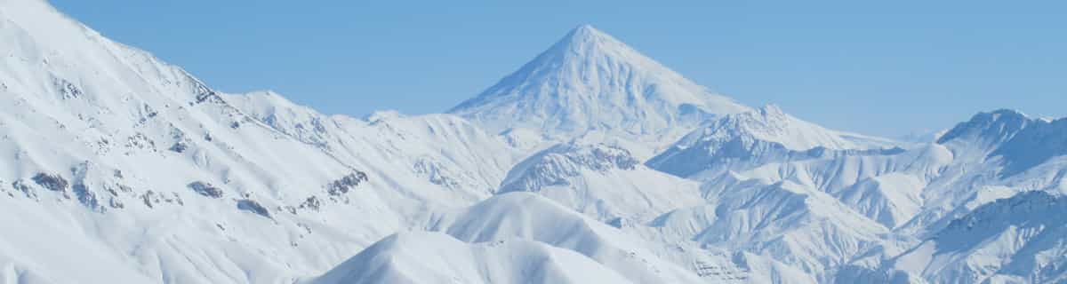
Alt St. Johann/Toggenburg is a very cosy resort 1 hour drive from Zürich, 30mins away from St. Gallen and Vaduz. Beautiful alpine scenery with the 7 peaks visible from the valley, just behind the Santis. Not crowded. If you need skiing lessons, go visit Bruno and Jan in the Unterwasser skischool at sssuw.ch Very friendly and competent instructors! I love it. :)
Jacques from Switzerland writes:
Alt St. Johann/Toggenburg is a very cosy resort 1 hour drive from Zürich, 30mins away from St. Gallen and Vaduz. Beautiful alpine scenery with the 7 peaks visible from the valley, just behind the Santis. Not crowded.
If you need skiing lessons, go visit Bruno and Jan in the Unterwasser skischool at sssuw.ch Very friendly and competent instructors!
I love it. :)
Click here to submit your own review of Alt St. Johann/Toggenburg
The Alt St. Johann/Toggenburg skiing weather widget is available to embed on external websites free of charge. It provides a daily summary of our Alt St. Johann/Toggenburg snow forecast and current weather conditions. Simply go to the feed configuration page and follow the 3 simple steps to grab the custom html code snippet and paste it into your own site. You can choose the snow forecast elevation (summit, mid-mountain or bottom lift) and metric/imperial units for the snow forecast feed to suit your own website…. Click here to get the code.
View detailed snow forecast for Alt St. Johann/Toggenburg at:
snow-forecast.com


 Nearest