


View forecast
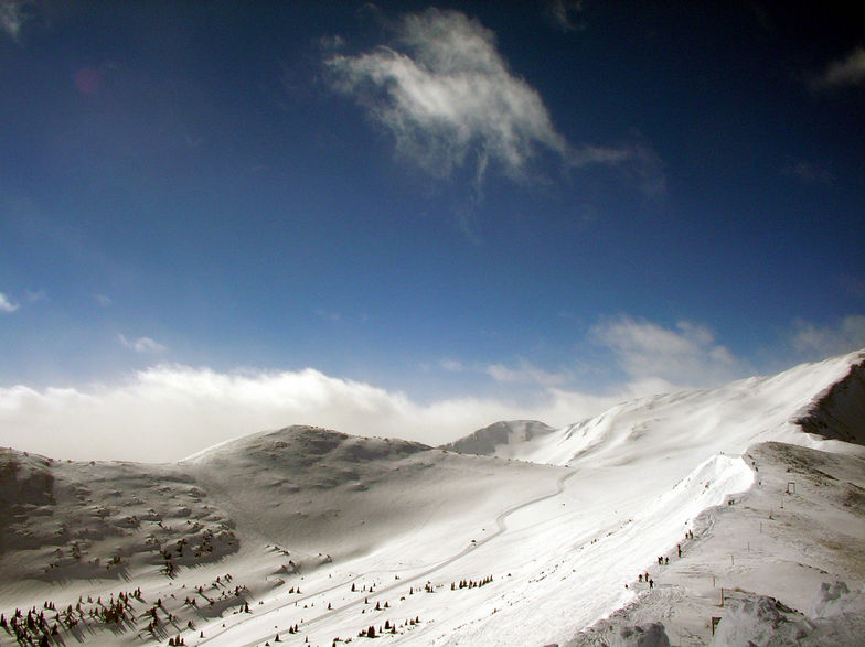
Copper Mountain at 3356 m altitude
Issued by Snow-Forecast.com at: 11 pm (local time) / 05 May 2024
Now
Monday 6 | Tuesday 7 | Wednesday 8 | Thursday 9 | Friday 10 | Saturday 11 | ||||||||||||||
night | AM | PM | night | AM | PM | night | AM | PM | night | AM | PM | night | AM | PM | night | AM | PM | night | |
snow shwrs | light snow | light snow | snow shwrs | light snow | light snow | snow shwrs | some clouds | snow shwrs | snow shwrs | snow shwrs | snow shwrs | light snow | light snow | snow shwrs | snow shwrs | some clouds | snow shwrs | snow shwrs | |
km/h | |||||||||||||||||||
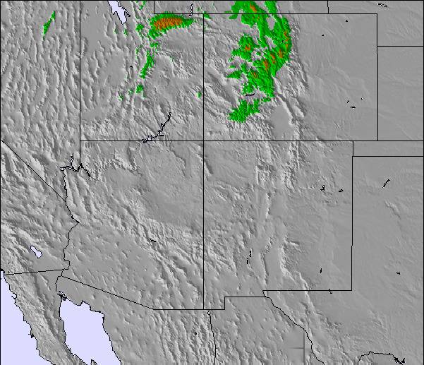
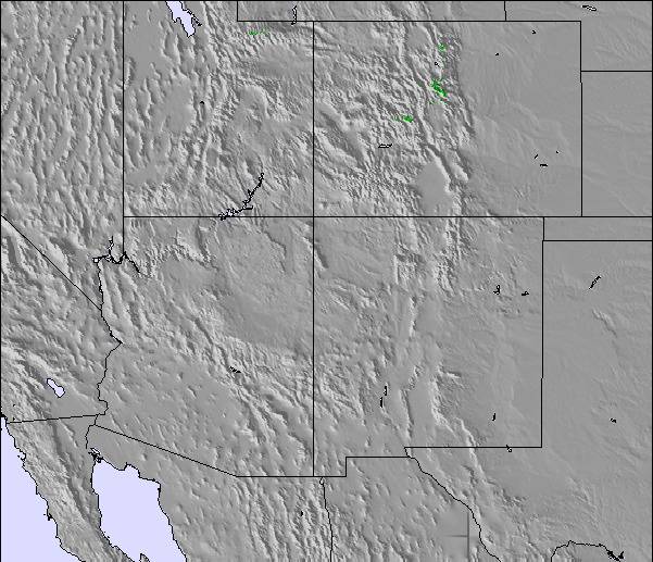
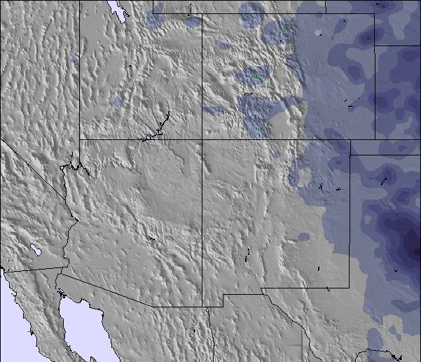
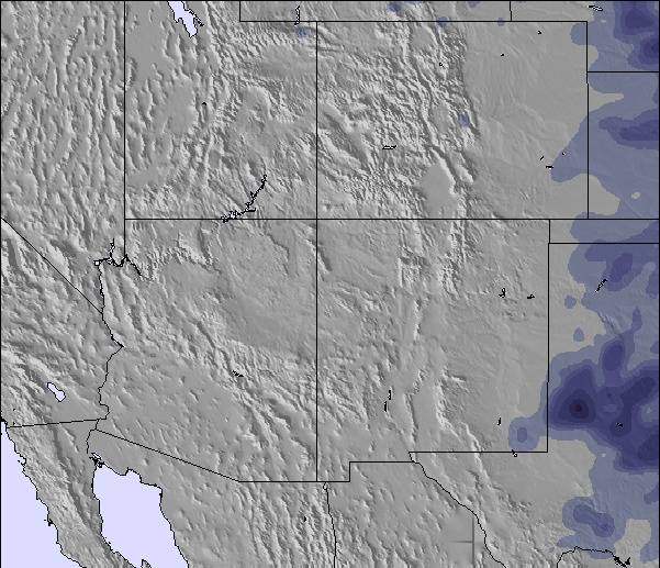
Snow map |  | 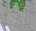 | 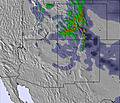 | 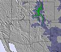 | 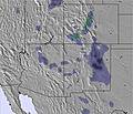 | 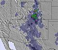 | 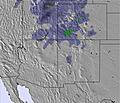 | ||||||||||||
7 | 1.0 | 2.0 | 4 | 4 | 4 | 1.0 | — | — | 3 | — | — | — | 1.0 | 1.0 | 1.0 | — | 1.0 | 5 | |
— | — | — | — | — | — | — | — | — | — | — | — | — | — | 2.0 | — | — | 1.0 | — | |
max°C | 0 | -7 | -5 | -7 | -6 | -6 | -11 | -5 | -2 | -6 | -1 | 1 | -3 | 1 | 3 | -2 | 2 | 2 | -2 |
min°C | -10 | -9 | -5 | -8 | -7 | -7 | -18 | -9 | -3 | -10 | -4 | 1 | -6 | -1 | 2 | -4 | 0 | 1 | -8 |
-20 | -19 | -14 | -17 | -17 | -16 | -23 | -14 | -6 | -14 | -7 | -2 | -10 | -3 | -1 | -4 | -3 | -4 | -14 | |
68 | 74 | 77 | 69 | 79 | 80 | 82 | 60 | 61 | 93 | 69 | 53 | 95 | 77 | 51 | 90 | 70 | 58 | 92 | |
3250 | 2000 | 2650 | 2150 | 2400 | 2550 | 1600 | 1950 | 2900 | 2300 | 2800 | 3550 | 2550 | 3200 | 3700 | 2850 | 3300 | 3650 | 2700 | |
— | 5:58 | — | — | 5:58 | — | — | 5:56 | — | — | 5:54 | — | — | 5:54 | — | — | 5:52 | — | — | |
— | — | 8:02 | — | — | 8:04 | — | — | 8:05 | — | — | 8:06 | — | — | 8:07 | — | — | 8:07 | — | |
Next 0-3 days weather summary:
A heavy fall of snow, heaviest during Sun night. Temperatures will be below freezing (max 0°C on Sun night, min -18°C on Tue night). Winds decreasing (strong winds from the W on Tue morning, light winds from the WNW by Tue night).
Next 4-6 days weather summary:
A light covering of new snow, mostly falling on Wed night. Becoming milder with light rain (total 3.0mm) on Fri afternoon. Freeze-thaw conditions (max 3°C on Fri afternoon, min -10°C on Wed night). Wind will be generally light.
Popular Copper Mountain Pages
Snow Radar
Submit a reportLatest snow reports near Copper Mountain:
0 km away from Copper Mountain
2 hours ago
Moderate snow reported from Red Cliff Pass Airport at 11732 feet one mile SSE of Copper Mountain Ski Resort from Copper Mountain
35 km away from Copper Mountain
3 hours agoLight rain reported from Edwards at 7156 feet 6 miles W of Beaver Creek but it is forecast cold enough for snow at higher elevations in the ski area from Beaver Creek
Copper Mountain Snow Conditions
| Top snow depth: | 145 cm |
|---|---|
| Bottom snow depth: | 70 cm |
| Fresh snowfall depth: | 1 cm |
| Last snowfall: | 3 May 2024 |
| Snow Alerts | Create Alert |
Other resorts in USA - Colorado are reporting: powder (0) / good piste (0)
Snow-Forecast Partner Offers
Show your business here
Snow History
Week 1 of May has on average:
0.4 | Bluebird Powder days Fresh snow, mostly sunny, light wind. |
|---|---|
0.7 | Powder days Fresh snow, limited sun, any wind. |
0.7 | Bluebird days Average snow, mostly sunny, light wind. |
Copper Mountain Forecast Snowfall
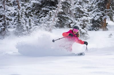
Photos of Copper Mountain
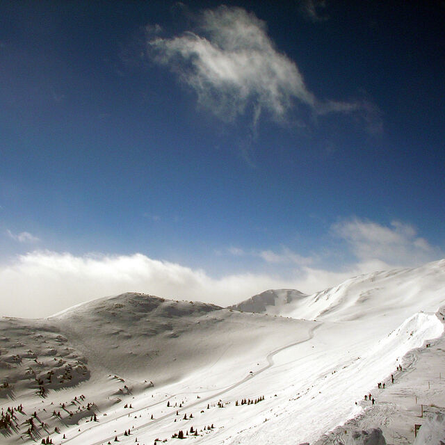
Copper Mountain 2006 by Mr2oons
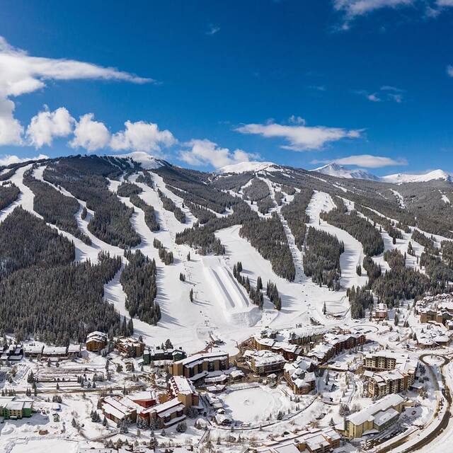
Copper Mountain by tourist-official
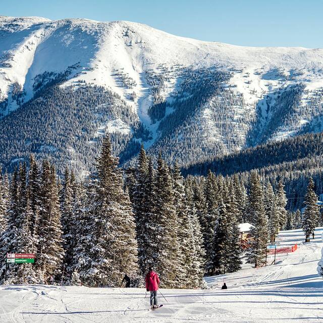
Copper Mountain by tourist-official
Other resorts in USA - Colorado are reporting: powder (0) / good piste (0)
The above table gives the weather forecast for Copper Mountain at the specific elevation of 3356 m. Our sophisticated weather models allow us to provide snow forecasts for the top, middle and bottom ski stations of Copper Mountain. To access the weather forecasts for the other elevations, use the tab navigation above the table. For a wider view of the weather, check out the Weather Map of United States.
Click here to read further information on freezing levels and how we forecast our temperatures.
Visitor Reviews of Copper Mountain
Overall 3.7 Based on 7 votes and 7 reviews
- Snowsure
- Variety of pistes
- Vote
- Scott MacKenzie from United States writes:
We just had our photo shoot at Copper for our new ski sweater line. We contacted a few of the resorts in the area, but Copper was by far the most accommodating. Their fees were reasonable and Mike Junius and the rest of the team were gracious hosts and recommended some nice areas to shoot. We can't wait to go back again. Blue bird skies, no wind and 5" of fresh snow certainly helped!
Visitor Reviews of Copper Mountain
Scott MacKenzie from United States writes:
We just had our photo shoot at Copper for our new ski sweater line. We contacted a few of the resorts in the area, but Copper was by far the most accommodating. Their fees were reasonable and Mike Junius and the rest of the team were gracious hosts and recommended some nice areas to shoot. We can't wait to go back again. Blue bird skies, no wind and 5" of fresh snow certainly helped!
Free Snow-Forecast.com weather widget for your website
The Copper Mountain skiing weather widget is available to embed on external websites free of charge. It provides a daily summary of our Copper Mountain snow forecast and current weather conditions. Simply go to the feed configuration page and follow the 3 simple steps to grab the custom html code snippet and paste it into your own site. You can choose the snow forecast elevation (summit, mid-mountain or bottom lift) and metric/imperial units for the snow forecast feed to suit your own website…. Click here to get the code.
View detailed snow forecast for Copper Mountain at:
snow-forecast.com

 Nearest