WORLD SNOW ROUNDUP #301

Issued: 26th July 2023
By Patrick “Snowhunter” Thorne
World Overview
Most ski areas in the southern hemisphere have seen some fresh snowfall this week. Most noteworthy, arguably, is the snow for New Zealand over the weekend and the start of this week. Some centres reported nearly a metre of snow on their highest slopes and as a result, centres that had not previously managed to open during the rather warm and dry start to winter 2023 have finally been able to do so since the weekend. More snowfall too at the weekend on Australian slopes, although here it was more about consolidating what are already pretty good conditions. In South America the snowfall was heaviest at more southerly resorts, allowing some in Chile to reopen and in Argentina, celebrations at Las Lenas, which had been suffering poor cover at low elevations (although reportedly great up high).
In the northern hemisphere the July heatwave in southern Europe, including the Alps and for much of the US, continues to be an issue. However, California’s Mammoth Mountain caused excitement on Friday when it announced it plans to stay open through the first week in August, only the third time in its 69 years of operation that it is offering skiing into August. In the Alps though the last summer ski area open for 2023, Tignes, ended its summer season at the weekend. So there’s no outdoor lift-accessed snow skiing in France now until the autumn.
Southern Hemisphere
AUSTRALIA REPORT
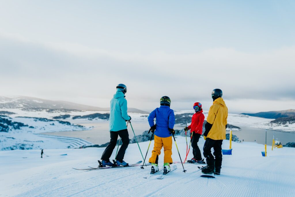
Australian ski areas got more snowfall last week after nearly a fortnight of mostly sunny skies. There were 5-10cm (2-4″) accumulations just before the weekend, otherwise, it has been mostly sunny with temperatures fluctuating between around -7C overnight on higher slopes to +7C in the afternoons on lower terrain. Largest resort, Perisher (60/131cm / 24/52”) continues to post the deepest snowpack, up about 15% on a week ago, as well as the most terrain in the country and second-most in the world currently open, nearly 50km of trails. Conditions are good at most of the country’s other ski areas and most report they are almost fully open too. Victoria’s Falls Creek (70/90cm / 28/36”) reports it’s 100% open with all 49 km (21 miles) of slopes skiable, just slightly less than Perisher currently has open. For the others there are 20-30km (13-19 miles) of slopes open each.
AUSTRALIA FORECAST
A sunny week ahead with temperatures reaching +8C in the afternoon on lower slopes, potentially impacting snow cover, but dropping to -4 to -6C overnight. So cold enough for snow-making if needed and available. There’s now much snow in the forecast except potentially 5-10cm (1-4 inches) just going into the weekend as a front moves across.
NEW ZEALAND REPORT
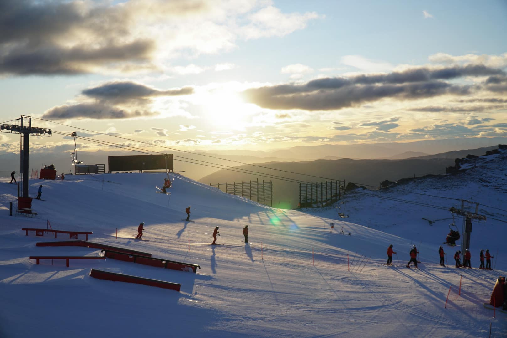
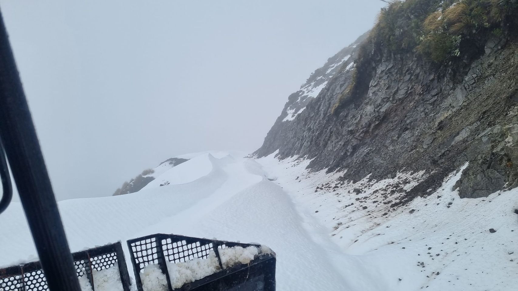
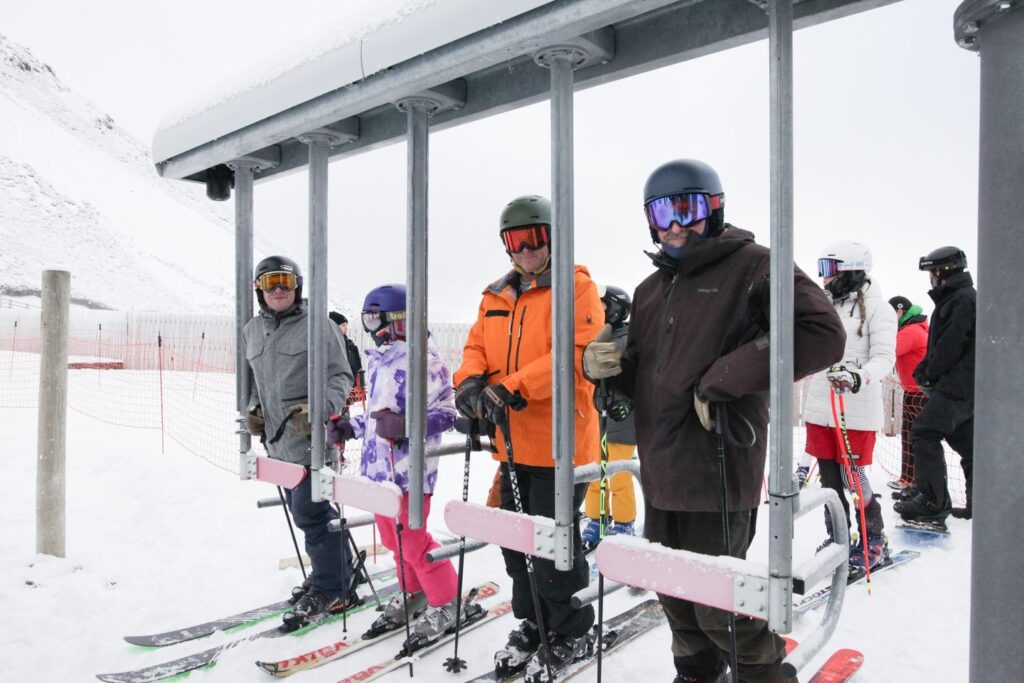
Some good news for New Zealand’s South Island at last with a multi-day storm from Saturday to Monday delivering substantial accumulations. The exact numbers are not yet in but it looks like up to 30cm (12”) on lower slopes and up to 80cm (32”) on higher slopes for the most fortunate areas. That’s allowed a number of ski areas that had had to delay opening so far to finally get the lifts turning, while those that had opened with the meagre snowfall to date coupled with snow-making when cold enough, looking much better too. The news, alas, was not all good though as the snow turned to rain as the storm tailed out and some resorts reported a saturated lower snowpack by Monday as a result. Among those newly opened are Porters Alpine Resort, which opened its Easyrider lift at the weekend, Broken River, Mount Dobson and Mt Lyford. Mt. Hutt (28/72cm / 11/31”), which was closed on Monday by a saturated snowpack, and Coronet Peak (6/41cm /3/16”). Both have about 30km (19 miles) of slopes open, around 75% of their full terrain and the most in the country at present. Cardrona (28/32cm / 11/13”) has 16km (10 miles) of slopes open, about 40% of its terrain, but reported fog was an issue there at the weekend. Despite the fresh snowfall on the South Island, it’s still deepest on the North Island which saw a better start to the season for snowfall with Tūroa (60/140 cm / 24/56”) on Mt. Ruapehu posting the country’s deepest snowpack.
NEW ZEALAND FORECAST
Another front is expected to bring more snowfall, heaviest at the end of the week, in the coming days, with the potential for further 30cm (12”) accumulations by the weekend. Otherwise, sunny spells and light snow showers, temperatures dipping as low as -12C overnight so good for snow-making.
ARGENTINA REPORT
There have been some good snowfalls in southern Argentina over the past week, particularly welcomed at Las Lenas (10/40cm / 4/16”) ski area in Patagonia where the start of its 40th season has not been too memorable so far due to too little snowfall (and sadly sometimes rain) on its low slopes. Although there’s reported to be huge snowy horde metres deep waiting up high, once lifts are running up to take skiers and boarders to it. The avalanche danger has risen though, to level 3 on the scale to 5. They reported some good snowfall at the weekend and much needed down to low elevations too and now have about half of their groomed runs open. La Hoya reported record business, it was said, at the weekend. Meanwhile, a slightly less promising picture further north with South America’s Catedral (20/75cm / 8/30”), near Bariloche, actually reporting a drop in its open terrain, although it still has the most open of any resort in the world at present with around 80km (50 miles) of slopes to enjoy. It’s a more mixed picture at the country’s other centres, with some still only having 10-20% of their terrain open. However, Chapelco (8/65cm / 3/26”) and the world’s most southerly ski area at Cerro Castor (10/55cm / 4/22”) both have more than 20km of slopes and 80 – 70 per cent respectively, of their runs open.
ARGENTINA FORECAST
A mostly sunny end to the week with temperatures down to -5C overnight on the slopes but getting as high as +8C on lower slopes in the daytime, so no big improvement in conditions expected. Colder and snowier further south again with Cerro Castor likely to see lows of -12C and moderate-heavy snowfalls at the weekend when it is sunny further north. Patagonia has a snowy forecast for the rest of the week.
CHILE REPORT
There was some heavy snowfall at the weekend for some ski areas in Chile, with those to the south faring best. As a result, all of the country’s ski areas are now open with Lagunillas (10/30cm / 4/12″), which operated until a week or so ago, being able to reopen too. Portillo (63/112cm / 25/45″), which hasn’t seen so much snowfall this week, has the country’s deepest base and about 75% of its runs open. Valle Nevado (20/60cm / 12/24) has the most terrain open in the country with 30km (19 miles), again about 75% of its terrain, which is also the case for most other smaller Chilean ski areas.
CHILE FORECAST
At the moment it’s looking fairly dry and sunny for much of the country for the week ahead. Temperatures still dropping below freezing overnight but daytime highs in resort getting up to high single positive numbers Celsius, which may not be good news for the thin cover most Chilean areas have at lower levels.
SOUTHERN AFRICA REPORT
There have been significant snowfalls and bitingly cold weather in southern Africa but frustratingly the region’s two commercial ski centres are keeping their slopes closed. In South Africa, Tiffindell last operated in 2019 and appears closed for good. In Lesotho, Afriski ski centre is still open but isn’t running snow-making or its lifts for skiers this year it says, you can just go sledging.
SOUTHERN AFRICA FORECAST
A sunny week ahead, daytime highs reaching +10C, overnight lows down to -5C.
Europe
EUROPE INTRO
The heat in the south of Europe continues to impact the Alps too with cooler temperatures above 3,000m. But still getting well above freezing in the daytime, continuing to melt snow cover on glaciers. The freezing point has been going up to at least 4,000m in the daytime. So the snow on higher glaciers in Switzerland seems to be holding up slightly better than on lower glacier slopes elsewhere. The main change this week is that the last summer ski centre that had still been open for 2023 in France, at Tignes, has closed, meaning there’s nowhere open in the country (other than the indoor snow slope at Amneville) until the autumn.
AUSTRIA REPORT
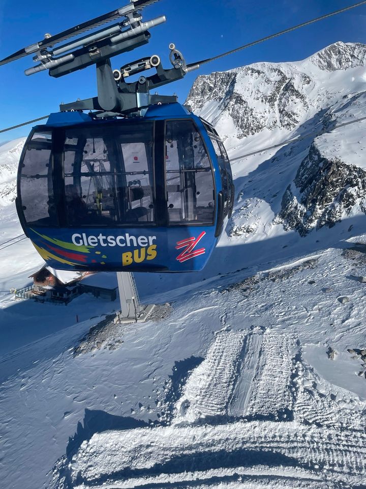
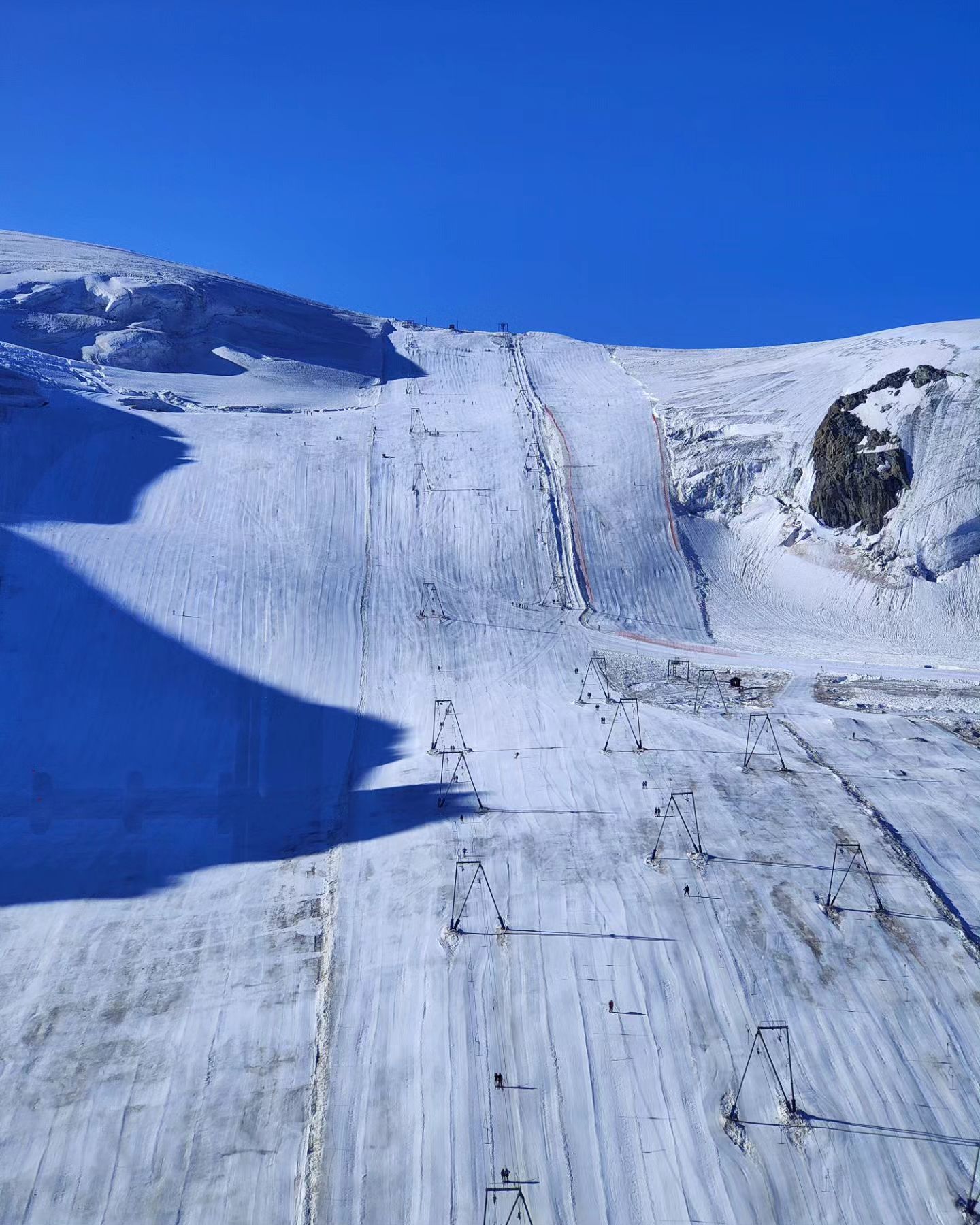
The base depth at the Hintertux glacier (0/75cm / 0/30”), the only ski area currently open in Austria, continues to drop fairly fast as the summer heat continues to reach glacier levels, but it still reports 20km (13miles) of slopes open, the most of the half-dozen or so ski areas currently open in the northern hemisphere. Daytime highs have been reaching +9C but overnight lows are still dropping to -5C, giving classic freeze-thaw conditions for the morning ski sessions.
AUSTRIA FORECAST
Mixed weather continues with a greater propensity to storms, which may bring rain, sleet or snow as well as gale to hurricane force winds depending to a large extent on just when they arrive in the 24-hour cycle. This will continue to give about a 15-degree range between around -5C and +10C.
SWITZERLAND REPORT
Switzerland has the most ski areas open of any country in Europe at present, although that’s only two! The upper snow depths at Zermatt (0/200cm / 0/80”) and Saas-Fee (0/250cm / 0/100”) seem to be holding up rather better than other alpine summer ski areas at slightly lower elevations, despite all the sunshine. That said, both centres only have about half of their full summer ski areas, 10-14km – 6-9 miles, of slopes open at present. Saas-Fee has its slopes open to all, unlike July last year when it was only open to race teams in training. Both report spring-like snow conditions.
SWITZERLAND FORECAST
Although temperatures are in the mid-20s Celsius down at resort level, up at 3,500-3,900m it is much closer to freezing and indeed dropping as low as -10C overnight at the higher level, highs of +1 or +2 in the afternoons. Mostly sunshine forecast but there is a chance of some snow showers at times.
FRANCE REPORT
The last summer ski operation that had still been operating in France, Tignes (0/30cm / 0/12”) is believed to have ended its planned 2023 operations on schedule on Sunday, although its glacier snow base depth has dropped dramatically from its winter high of 5 metres, and even the 2 metres plus it was reporting at the start of its summer opening just over a month ago. There were just a few kilometres of slopes still open at the end. Other than the indoor snow slope at Amneville that’s it for French skiing until the early autumn when it is again Tignes which is usually the first in the country to open in late September or early October, so long as there’s some late summer or early autumn snowfall on the glacier to make skiing and boarding possible.
FRANCE FORECAST
Temperatures are expected to cool a little from their very high levels of the last week. Crucially, overnight lows above 3000m will drop below freezing and there’s even a chance of snow flurries on glaciers.
ITALY REPORT
Italy’s Passo Stelvio (0/75cm / 0/30”) remains the only ski area currently open in the country, although you can also take lifts from Cervinia to ski on the Klein Matterhorn glacier above Zermatt, just over the borderline. It has been hot at Stelvio too and the snow depth continues to fall away rather fast and another kilometre of slopes has been closed down. So it’s at about 60% of its terrain open now. Lifts are running from around 6am to noon.
ITALY FORECAST
It is looking like quite a cold final week of July, up at 3,500m anyway, with temperatures well below freezing at night and only +2 to +3C in the daytime. Sunshine is expected for the next few days then hopefully snow flurries at the weekend, up high at least.
SCANDINAVIA REPORT
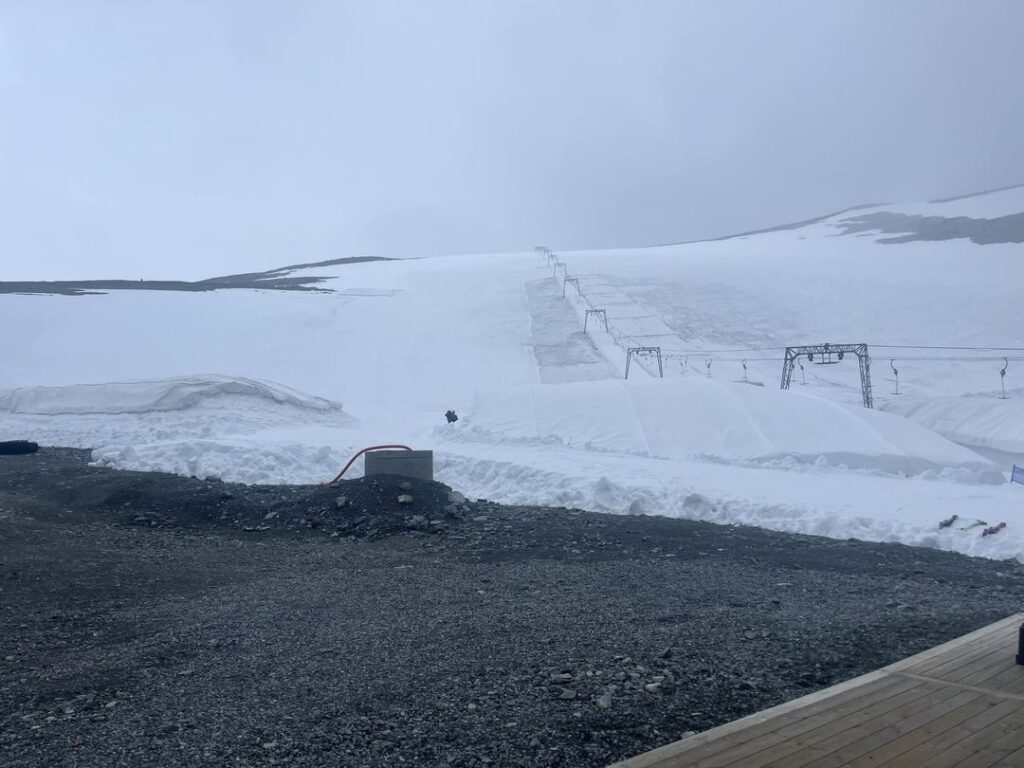
As record temperatures hit the southern half of Europe last week, the only ski area still open for the 2023 summer ski season in Scandinavia, Norway’s Galdhopiggen (40/200cm / 16/80” ) was posting some light fresh snowfall thanks to temperatures continuing close to freezing there. The centre continues to post it’s fully open with fairly cool temperatures for the time of year.
SCANDINAVIA FORECAST
Temperatures continue in the -5 overnight to +8C daytime highs range with a mix of sunny spells and some sleet and snow showers.
USA REPORT
It currently looks like two US ski areas will still be operating into August, despite the intense heat in the country over the past few weeks.
Mammoth Mountain (12/60” / 30/150cm) announced at the weekend that it plans to stay open through to August 6th, a week on Sunday, marking the third time in its 69-year history that it has stayed open to August. The resort received 715 inches of snowfall (over 18 metres) last autumn-spring. The snowpack is melting and the remaining terrain is only suited to intermediate and advanced skiers but there are still about five miles (8km) of slopes open daily, weather permitting, between 7:30am and noon daily, with lifts operating out of Main Lodge.
Timberline (0/42” / 0/105cm) on Mt Hood, in Oregon, is also still open for skiing and boarding with no season-end date there yet announced. It traditionally stayed open to the first holiday weekend at the start of September but hasn’t made it that far in some recent seasons. It, like Mammoth, has had a week of sunshine with lows in the 40s, highs in the 70s and 80s Fahrenheit.
USA FORECAST
There’s no real change to report in the expected weather with more sunshine forecast daily from dawn until dusk. Temperatures continue to drop down towards +40s Fahrenheit overnight, with highs in the +70s to +80s F.


