WORLD SNOW ROUNDUP #288

Issued: 28th April 2023
By Patrick “Snowhunter” Thorne
World Overview
The number of ski areas still open across the Northern Hemisphere continues its season fall but as we approach the start of May, several hundred across around 15 countries in three continents remain open. It’s thought that thanks to season extensions, particularly in western North America, almost 100 will still be open on May 1st, next Monday, although a chunk of them will then close having made it to the start of the month. Despite the late openings, we did lose some big name areas including Aspen, St Anton and Verbier, which ended their seasons last weekend.
Conditions have generally been favourable for ski areas that are still open, with more snowfall reported on high slopes in western North America and the Alps although others have seen what for many resorts would be season-ending warmth, with temperatures reaching 80F at one point on the US East Coast, although they’ve now dropped right back down again.
Inevitably for this late in the season, with the Southern Hemisphere’s 2023 season just over a month away, the best conditions are at high altitude or northerly latitude. Speaking of the Southern Hemisphere, Vallecitos in Argentina reported its first pre-season snowfall.
Europe
EUROPE INTRO
Over 100 ski areas remain open in about a dozen European countries in the Alps, Scandinavia and northeastern Europe, but most further south have now closed for the 22-23 season. The weather has remained very similar this week to last with snowfalls, some quite major (26cm in 24 hours reported by Livigno) continuing on the higher ground right through the week once again. Europe’s deepest snowpack also hit a new seasonal record of 462cm at Tignes, before falling away again. It’s very unusual for the deepest snowpack of the season to be achieved this late in the season, reflecting both the unusual snow patterns and the cold late-season conditions this year.
AUSTRIA REPORT
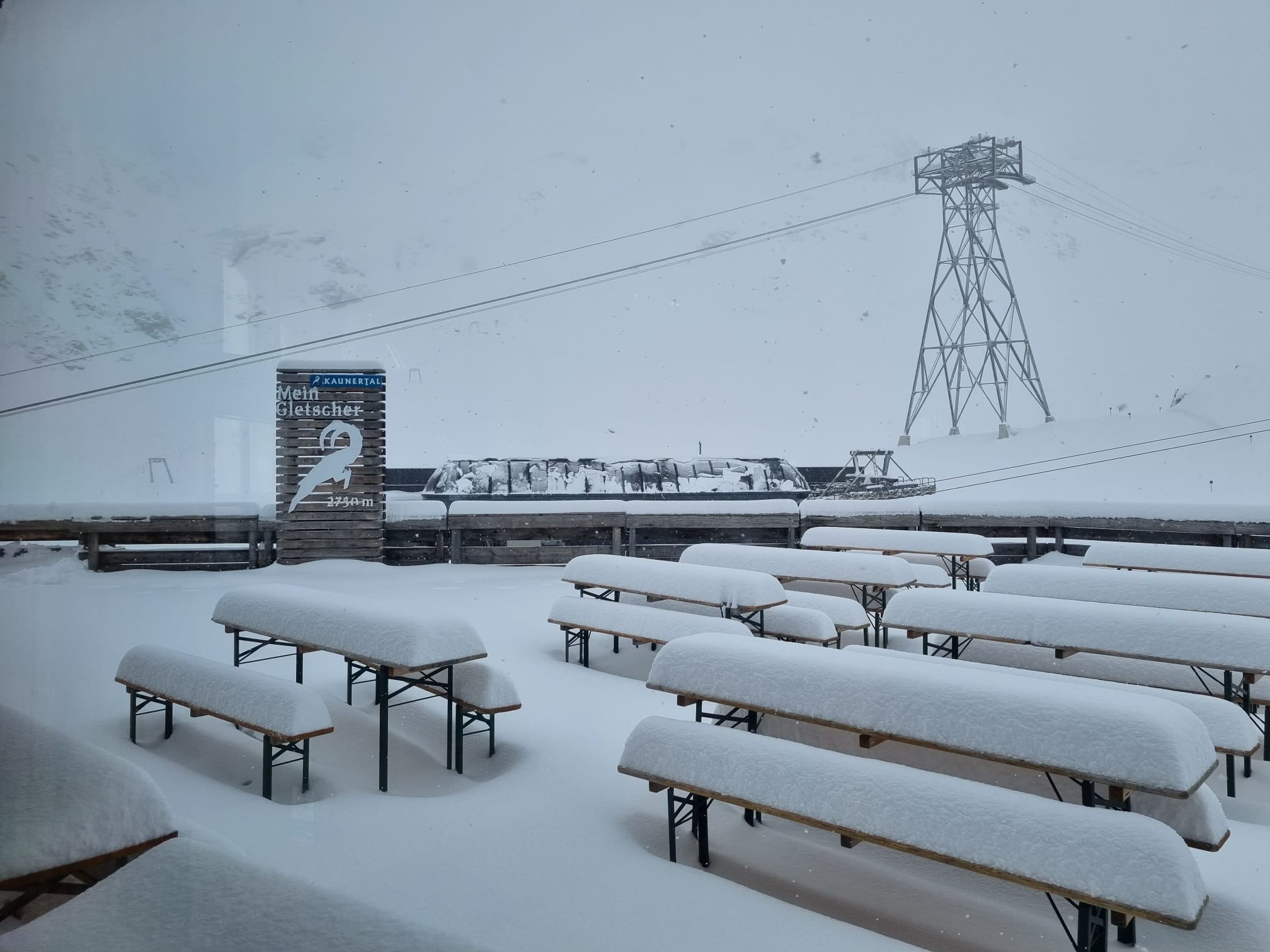
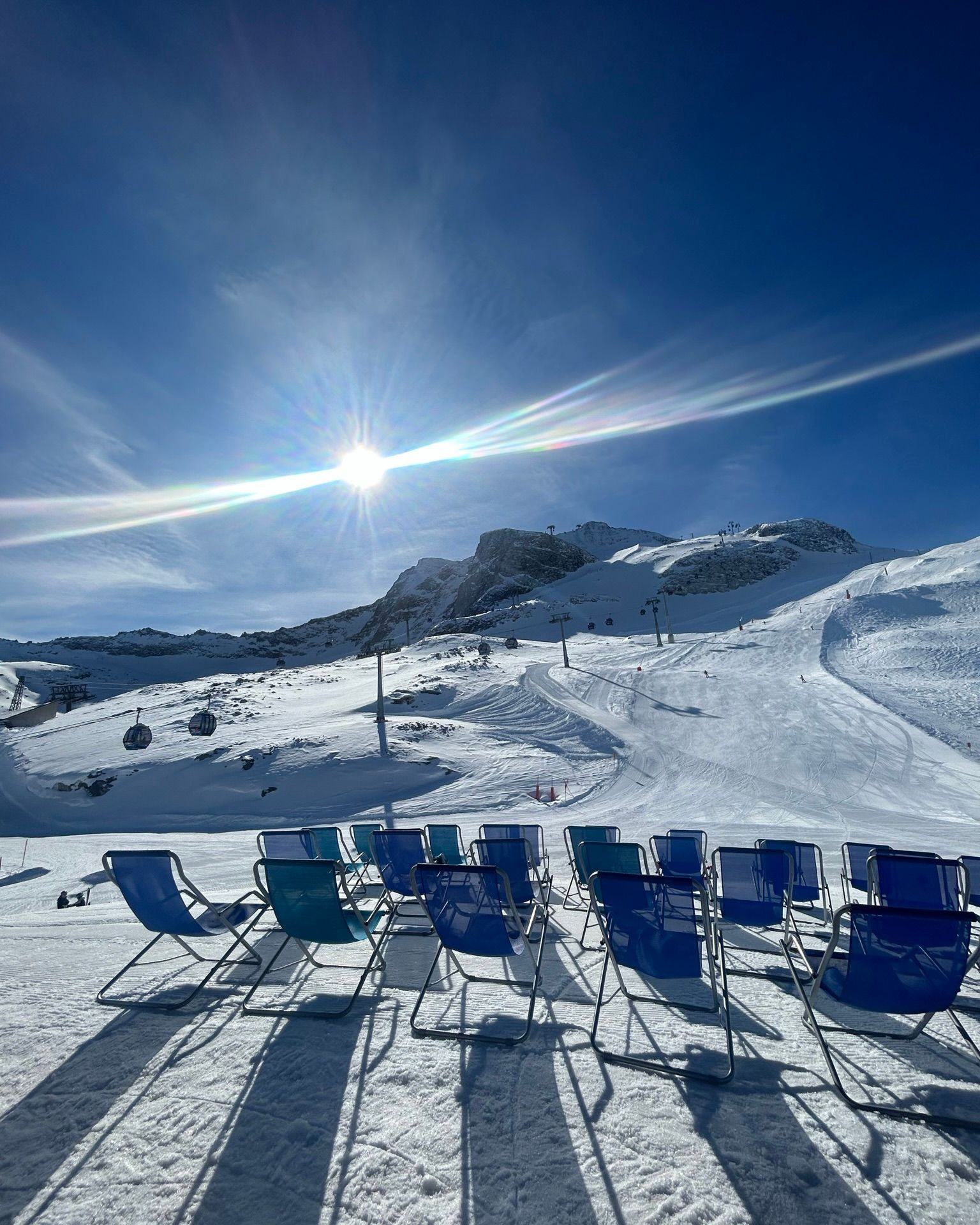
Austria is one of just a handful of countries along with Japan and the US that still expects to have a total number of ski areas open still in double figures at the start of May. Ischgl (10/120cm / 4/48”), Obergurgl (23/75cm / 9/30”), Obertauern (110/170cm / 44/68”) and the Stubai glacier are scheduled to close on May 1st. Then the Pitztal (35/195cm / 14/78”) and Solden (0/320cm/ 0/128”) glaciers are scheduled to close after the first week of May and then the Kaunertal (220/240cm / 88/96”), Kitzsteinhorn (0/245cm / 0/98”) and Mölltal (0/130cm / 0/52”) glaciers are aiming to stay open through May to the final Sunday of the month and Hintertux (0/265cm / 0/106”) aims to stay open year round. The good news is that the last week has seen more cool temperatures up above 2000m and even 20-30cm (8-12″) more snowfall up high over the last seven days, so the final weeks and month are looking more promising than they had been.
AUSTRIA FORECAST
The temperature gap between Austrian alpine valleys down at around 1000m and snowfields above 2000-2500m is becoming more pronounced, getting into the 20s Celsius down low but staying close to freezing up high. Snow showers will continue higher up but ease with more widespread sunshine from Thursday.
SWITZERLAND REPORT
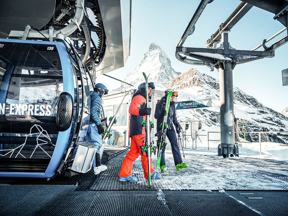
The number of Swiss areas still operating is just in double figures after the largest region in the country, the 4 Valleys, closed at the weekend. It had already dropped to about a quarter of its 400km+ (250 miles) of slopes still open, however. The cross-border Portes du Soliel region, another of the country’s and the world’s biggest, also closed, having dropped to less than 20% of its 600km of slopes still open. Samnaun (10/120cm / 4/48”) and Andermatt’s Gemsstock freeride area (0/138cm / 0/55”), currently open at weekends only, will close on May 1st. Samnaun, along with Zermatt (0/150cm / 0/60″) is currently posting the largest amount of terrain open in the country, both still reporting more than 200km (125 miles) of cross-border slopes open each. As with the rest of the Alps, Swiss centres have seen a return of warmer weather in valleys but the freezing point remains stubbornly at the 2000-2500m altitude level and more snow showers reported above this level through the last week.
SWITZERLAND FORECAST
A largely sunny end to the week with the freezing point rising into the 2500-3000m bracket in the daytime. Down at 1000m temperatures will hit +20C, but overnight lows could still dip to -10C at 2500m.
FRANCE REPORT
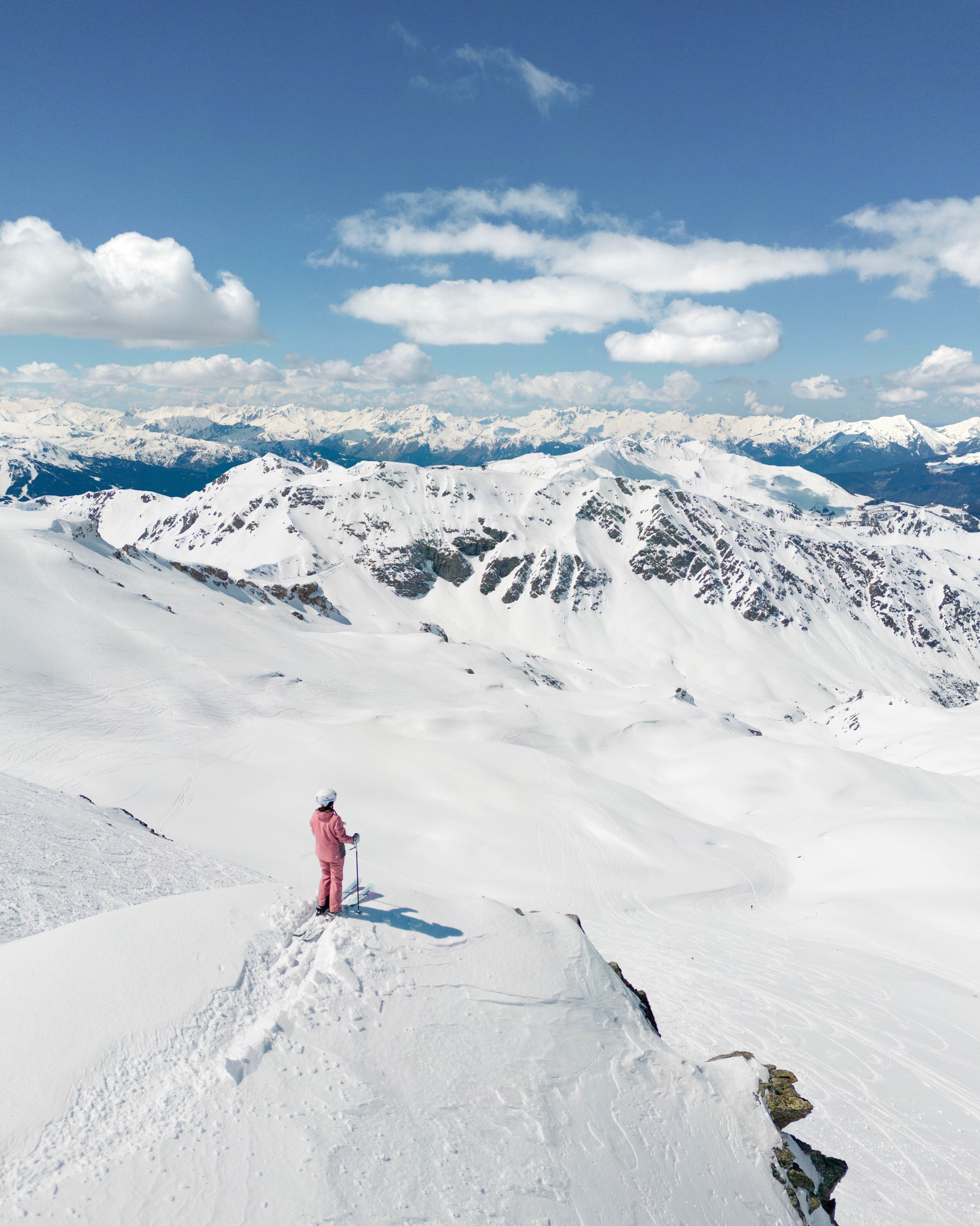
Remarkably, as depths keep increasing on high slopes in the French Alps, it is very unusual for Europe’s deepest snowpack to still be increasing at the end of May (the peak is usually in the first half of March). But that’s what was happening at Tignes (116/420cm / 46/168″) where the depths peaked at 462cm (185″) at the end of last week. Les Arcs (40/400cm / 16/160″), which closes this weekend, also reached 4 metres. There are still about a dozen French areas open and although valley temperatures have been climbing and the snow thawing fast below 2,000m over the last week, it’s been around freezing or below higher up and although it has been drier than further east, there have been some snow showers.
FRANCE FORECAST
No huge changes in the weather forecast, but there will be a gradual increase in temperatures at all levels as we go into May. That means the showers that have been snow above 2000m will be rain to ever higher altitudes, with the daytime freezing point increasing towards 2500-3000m by the weekend.
ITALY REPORT
With more Italian ski areas closing at the weekend, including la Thuile on the French border, which had been posting the county’s deepest base, we are down to just half a dozen Italian centres staying open for the coming week and into May. Cervinia (0/150cm / 0/60″) is expected to be the last to close, after the first week of May, it has reported more than 30cm (12″) of snowfall on its highest slopes over the last week. In fact, there’s been snowfall across the country, and down to low levels at the end of last week in the Dolomites. Here Cortina d’Ampezzo (0/40 / 0/16”) and Sulden (60/105cm / 20/42”) are the last areas open after Arabba (0/30cm / 1/12”) and Kronplatz (0/80cm / 0/32”) closed at the weekend. They’re both aiming to close on May 1st, the same day as Livigno (0/112cm / 0/45”), which reported 26cm (10”) of snowfall in 24 hours on Thursday-Friday last week (then a similar total on Monday-Tuesday) and the Presena Glacier above Passo Tonale (80/120cm / 32/108”).
ITALY FORECAST
Mostly sunny in the western Alps with valley temperatures as high as +20C but more in the -5 to +5C range up at 2500m. Some rain, sleet and snow showers and cooler temperatures are expected further east.
GERMANY REPORT
It had been expected that Germany would be down to just one ski area open, its highest, the Zugspitze Glacier (260/262cm / 104/105”), for the final week of April. But, in the event, Oberstdorf (0/110cm / 0/44”) has announced that the recent cold and snowy weather in the Alps has enabled it to keep 7km or so of runs open in its Nebelhorn sector and it plans to keep them open to the start of May too, both areas expected to close now on May 1st.
GERMANY FORECAST
Sunny midweek with temperatures ranging from -5C up to about +5C, rain showers moving in towards the weekend, potentially falling as snow on the highest slopes.
SCANDINAVIA FORECAST
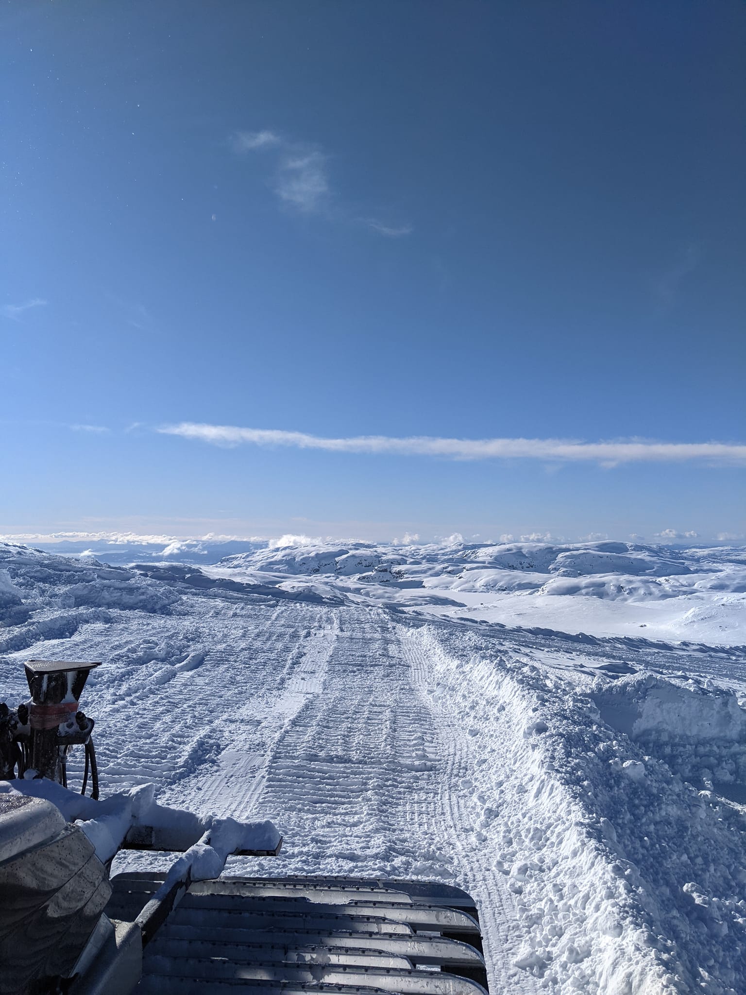
The forecast is for more cold and snowy weather for the coming week, meaning it’s likely to be a cold start to May next week.
SCOTLAND REPORT
The 22-23 season is over in Scotland. Glencoe is still providing chairlift uplift to the remaining snow patches for touring, but Cairngorm, the last ski area to provide lift-accessed skiing on its own slopes, closed a little over a week ago. It was very warm and sunny last week in the highlands of Scotland, leading to a fast thaw of mountain snow. But since the weekend cold northerly winds have brought back a more wintry feel.
SCOTLAND FORECAST
Colder and wetter this week than last with plenty of precipitation likely to fall as hill snow up high and down to low elevations overnight, with daytime highs in single figures. The snow is unlikely to be enough to lead to late slope re-openings but could boost ski touring opportunities into May.
SPAIN / ANDORRA REPORT
The ski season in The Pyrenees has now ended for 22-23 with all ski areas believed closed. Last in the region was Cauterets, in France, at the weekend.
SPAIN / ANDORRA FORECAST
Increasingly warm temperatures with a mixture of sunshine and rain showers. Temperatures reaching +20C in some valleys, and +5C up high, although getting back below freezing overnight.
BULGARIA / ROMANIA REPORT
The ski season in the Balkans has now ended for 22-23. The closest open ski area is believed to be Kanin (0/200cm / 0/80″) in Slovenia, up on the border with Italy, which keeps about 6km (4 miles) of high-altitude terrain open most years into spring, although it is only open at Fridays and weekends.
BULGARIA / ROMANIA FORECAST
A sunny latter half of the week with temperatures ranging from overnight lows of -5C up to daytime highs of +17C.
CZECH REPUBLIC / SLOVAKIA REPORT
All Czech centres are now closed for the season but three of Slovakia’s larger areas are planning to keep going for another week, the largest, Jasna (0/180cm / 0/72”), into May. It has kept about a third of its runs open and has reported some fresh snowfall on its highest slopes this week. Tatranská Lomnica (20/60cm / 8/24”) and Štrbské Pleso (5/60cm / 2/24″) both expect to stay open until next Sunday, April 30th.
CZECH REPUBLIC / SLOVAKIA FORECAST
A mixed bag to end the week with sunshine, rain, sleet and snow showers. Temperatures range from -5C up to +8.
NORTH AMERICA INTRO
We’re nearly into May but it is still snowing on high slopes in the Rockies and on the West Coast coastal mountains. There have been disruptive strong gales too, with more than 100mph winds reported around peaks in California. Against that, it has got very warm in the east, where just a handful of ski areas remain open, although the weather had now returned to much cooler levels. Several dozen resorts remain open in the west, many having extended their seasons into May due to the very large amounts of snow still lying.
ROCKIES REPORT
A cooler and snowier week than forecast in the Rockies with some quite significant snowfall on higher slopes. Winter Park (14/76” / 35/191cm), one of those open into May, reported 18” (45cm) of fresh snowfall in the last seven days. Purgatory (66/66″ / 162/162 cm) has added two bonus weekends to its season after all the snowfall there, the second one this coming April 29-30, although there are hints it may stay open longer and join other Colorado areas including A-Basin (26/68” / 65/170cm), Breckenridge (16/65” / 40/162cm) and Winter Park in staying open into May. Last weekend was still closing weekend for some famous names though, including Aspen. Further north, in Utah, there’s been a state of emergency declared and a million sandbags distributed for fear of flooding caused by the thawing mega-snowpack, which is at double its usual thickness. But here too it keeps snowing on higher slopes. Solitude (60/192” / 150/480cm), one of four areas staying open into May, this week passed its previous record longest-ever season of 161 days, saying it planned to stay open another four weeks. America’s largest ski area, Park City (96/144” / 240/360cm), has also extended its season into May.
ROCKIES FORECAST
Sunnier and warmer weather is forecast for the end of the week, but still getting down to the low to mid-20s at altitude overnight, for freeze-thaw conditions, and daytime highs only in the low to mid-40s, with more snow showers possible.
USA WEST REPORT
The wild weather in the western US that has dominated weather patterns for six months now just won’t seem to quit, with The Palisades (56/254″ / 140/535cm) reporting more than 100mph winds in the middle of last week and temperatures dropping back to the high teens Fahrenheit as more snow fell on peaks. It, and Mammoth Mountain (240/294″ / 599/736cm), which has now passed 705 inches (17.9 meters) of season-to-date snowfall at its main lodge and 885 inches (22.5 meters) at its summit, continue to post the world’s deepest bases and say they’ll stay open at least another three months for skiing. A good many other west coast ski areas are staying open at least into May and there’s been more fresh snowfall reported in the Pacific northwest corner in the last few days too.
USA WEST FORECAST
A mostly sunny and warming weather picture as we near the start of May, with overnight lows down to about freezing but getting into the mid to high 40s in the afternoons.
MIDWEST REPORT
The 22-23 ski season is over in The Midwest, but late-season snowfalls continue to cause road and school closures in states including Minnesota, Michigan and Wisconsin, fairly unusual for the latter half of April. However, although some ski areas still have snow lying, their customers have switched to summer sports mode.
MIDWEST FORECAST
More cool weather is expected over the next few days before warmer temperatures arrive at the weekend.
USA EAST REPORT
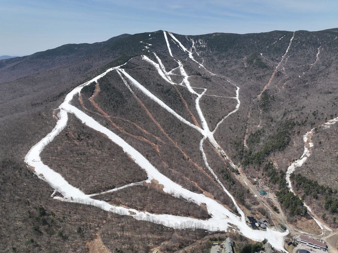
It has been warm and sunny on the US East Coast for a lot of the last week, causing further fast thawing of the snowpack and just a handful of ski areas remain open, some hoping to remain so well into May if the snow lasts. They include Vermont’s Killington (2/22” / 5/55cm), which usually manages to keep its Superstar trail open to late in May. Another Vermont resort, Sugarbush, is staying open weekends into May. Sugarloaf (4/24” / 10/60cm) will also be open into May.
USA EAST FORECAST
Snow showers are possible on higher slopes, as well as rain at all levels, as fronts move through and temperatures drop. Lows in the high 20s are possible when there may be snow, but daytime highs will still reach the high 40s, particularly in afternoons in valleys, meaning rain at times.
CANADA WEST REPORT
There’s been fresh snowfall in western Canada, even this late in April, as temperatures stayed low. Sunshine (55/170cm / 22/68”), near Banff, which has another four weeks of the season left to run, reported 13cm (5”) of fresh snowfall going into the weekend. There are still almost four weeks of the season left to run at North America’s largest ski area, Whistler Blackcomb (0/300cm / 0/120”), too. The resort has shut down ski operations on Whistler Mountain for its final month as it prepares for summer operations. That caused some consternation when skiers found the Blackcomb gondola was only operating at weekends for various reasons, but the Excalibur gondola, Excellerator, Jersey Cream, Catskinner, 7th Heaven and Crystal lifts are all expected to run daily through to May 22nd.
CANADA WEST FORECAST
Quite a lot of sunshine is forecast to end the week with daytime highs reaching +10C although overnight lows are still down to -7C.
CANADA EAST REPORT
Almost all eastern Canadian ski areas are now closed, including the largest, Tremblant, which ended its extended 22-23 season on Sunday. The second largest, Mont-Sainte-Anne, which had been open at weekends, also closed. Only Sommet Saint-Sauveur (0/40cm / 0/16″), which usually opens a kilometre or so of snow-slopes with terrain park features at weekends so long as the snow lasts into May, is currently expected to be open next weekend.
CANADA EAST FORECAST
The colder, snowy weather should ease from Thursday with sunny, warm weather moving in, temperatures reaching +15C at low elevations, and +5C at higher altitudes.
Asia
JAPAN REPORT
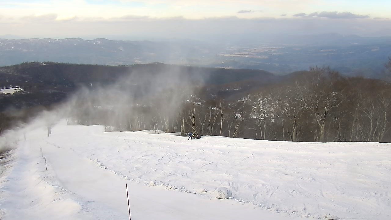
Although the weather has been predominantly spring-like in Japan, it’s still been snowing to fairly low levels at times. Myoko reported its planned opening day for its golf course last week had to be cancelled due to wet snowfall down to the fairways. Nozawa Onsen (0/80cm / 0/32″) was among the areas posting a little fresh snowfall at the weekend and noted that it intends to stay open until May 7th. That’s the same as some other big resorts like Niseko (0/260cm / 0/104″), which reports about 8km (5 miles) of higher slopes still open. After that, it will be the Gassan summer ski area (100/200cm / 40/80″), although that is reporting much lower snow depths than usual for its season’s start in April. Kiroro ski area announced it is closing earlier than planned, this Sunday, due to “unprecedented rapid snow melt”.
JAPAN FORECAST
Looking mostly dry for the week ahead with plenty of sunshine and temperatures ranging between freezing and +20C, with occasional rain possible.

