WORLD SNOW ROUNDUP #287
Issued: 19th April 2023
By Patrick “Snowhunter” Thorne
World Overview
The 22-23 ski season continues to wind down across the Northern Hemisphere with around 95% of ski areas now closed. Anticipation begins to build in the Southern Hemisphere, where the 2023 season is due to get underway in a little over 6 weeks.
Hundreds of ski areas do remain open in Asia, Europe and North America however, with an ever-growing list now saying they’ll aim to stay open into May. This is generally thanks to the huge amounts of snow that have piled up on the slopes of western North America.
The past week has seen more snow, particularly in the northwestern corner of North America. But, against that, temperatures have been rising in the south and east and the thaw is gathering pace. Over in Europe though, it has been unseasonably cold over the past week with skiers describing “mid-winter-like” conditions in the Alps and snowfall down to low levels. On upper slopes up to a metre (40″) of fresh snow has accumulated, mostly above 3,000m. That’s where many of the open slopes are though, so it’s good news indeed.
Europe
EUROPE INTRO
Skiers and ski resorts in the Alps have been united in commenting on how the past week has felt more like January (should) than mid-April with cold temperatures and plenty of fresh snowfall, especially on higher slopes. In fact, the 50-100cm (20-40″) reported by a good many areas in the last seven days is one of the bigger accumulations of the season. Of course, most ski areas have ended their seasons already. But for most of the rest, they’re looking great for their final weeks. There’s been cold and more snowfall in Scandinavia too and in Scotland. For Finland, Norway and Sweden almost everywhere remains either partially and fully open. In Scotland though, sadly, the snowfall is too late, there’s no base to build on and there’s very little open. Elsewhere, the season is all but over in the Balkans and Pyrenees with most of the leading centres closing at the weekend and temperatures are rising quickly there.
AUSTRIA REPORT
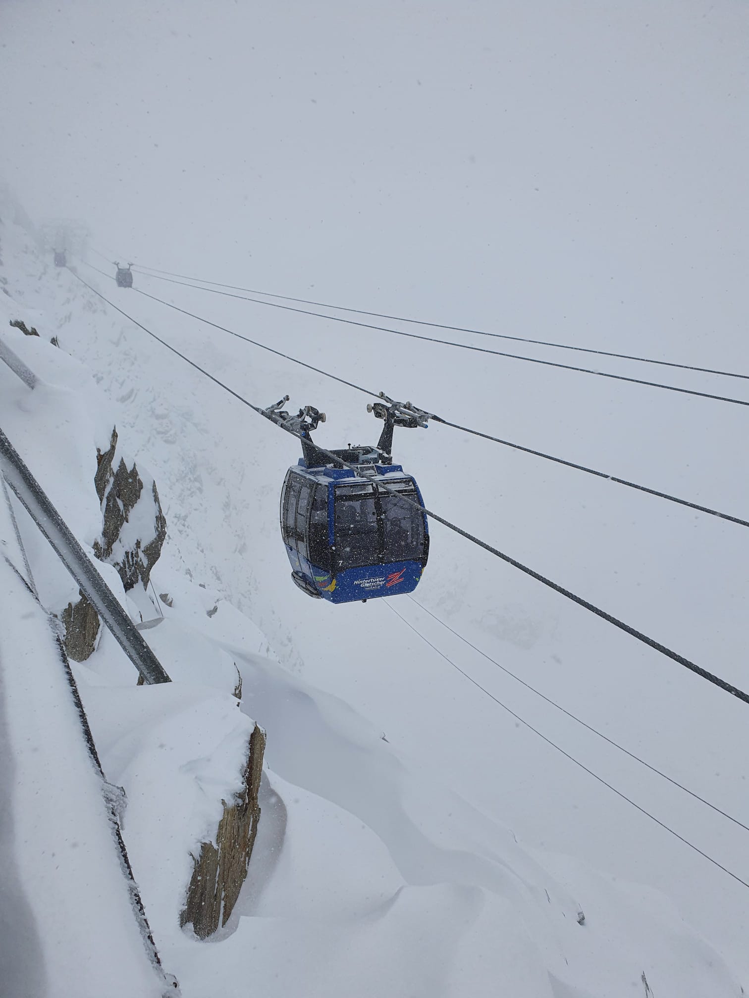
Considering that most Austrian ski areas have now closed for the season and that much of the past winter was warmer and drier than usual, it has been a remarkably cool and snowy spell for mid-April with some centres recording over a metre of snowfall on their higher slopes over the last seven days. The Hintertux glacier (20/205cm / 8/82”) was one of the big winners reporting over 90cm (three feet) of snowfall in 72 hours in the latter half of last week. That’s good news for spring and summer skiing, in 2022 it was the only glacier ski area in the world that stayed open throughout the warmer months. Solden (90/320cm / 36/128”), which has been posting the deepest snowpack in Austria all season and remains open to the start of May, posted two feet (60cm) of snowfall on its glaciers over the same period.
AUSTRIA FORECAST
A gradual change to warmer, dryer conditions with snowfalls becoming lighter, shorter and more irregular and sunny weather becoming more dominant through the remainder of the week.
SWITZERLAND REPORT
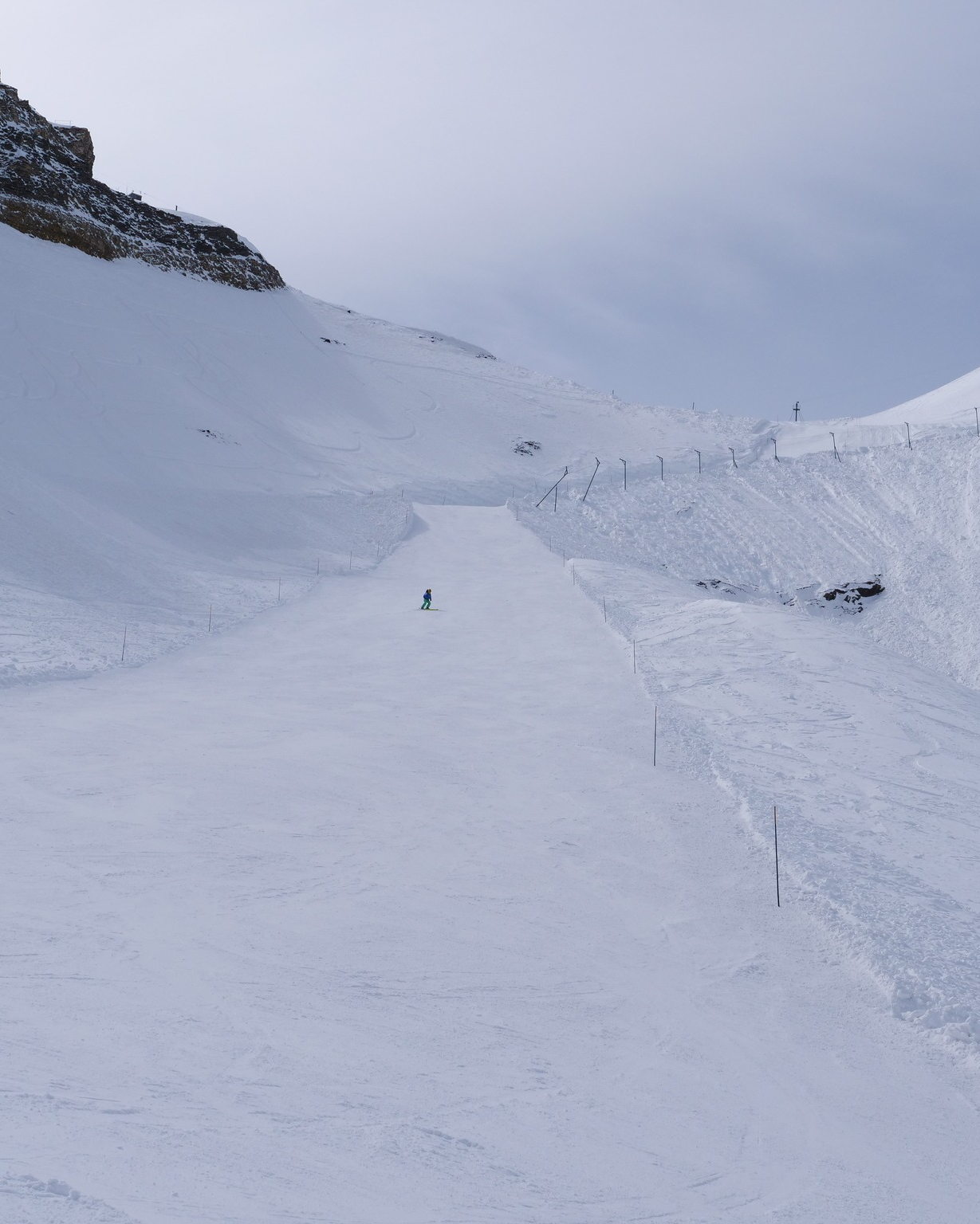
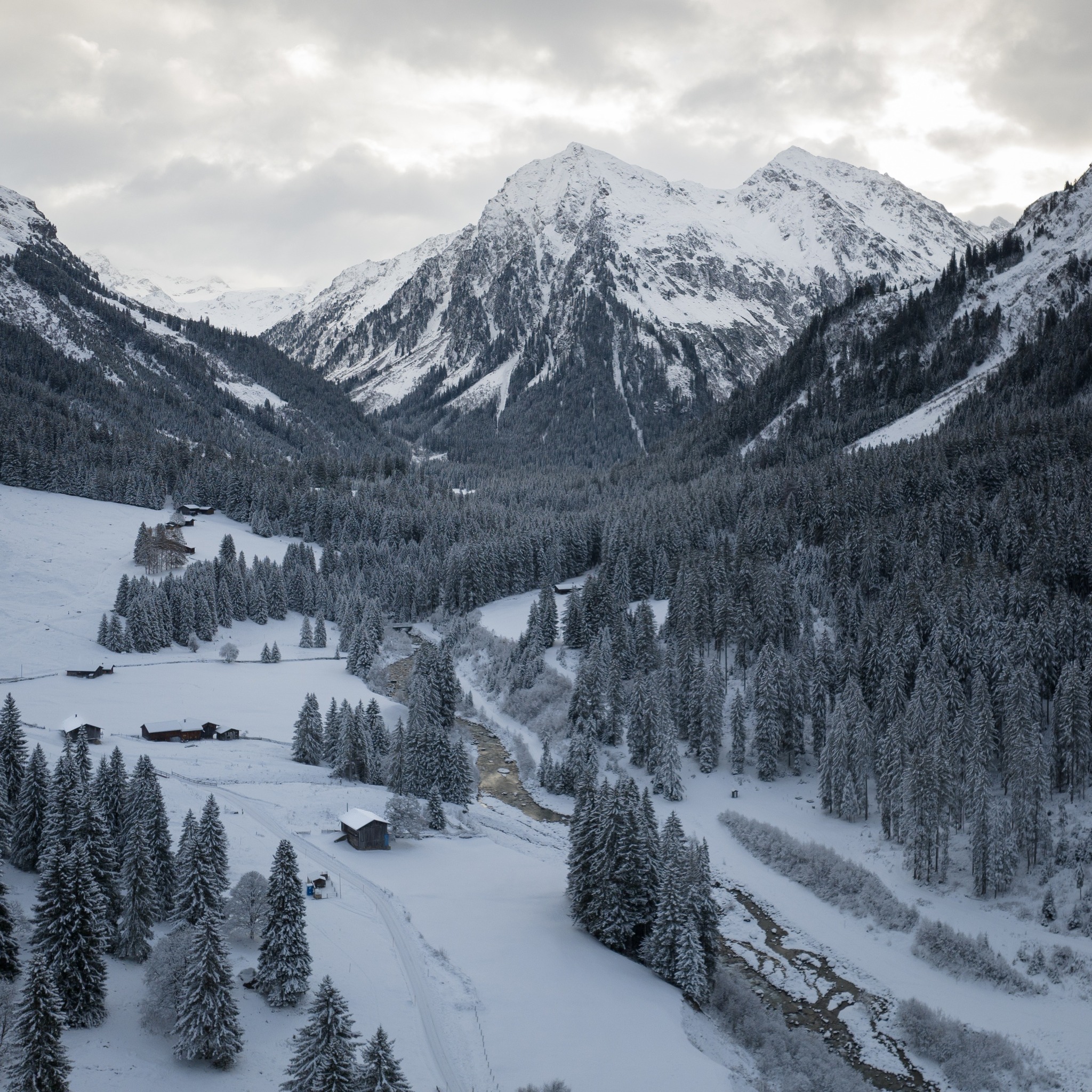
Swiss ski areas have had a snowy week as well, just as more have been ending their seasons here too. Engelberg (0/225cm / 0/90”) reported one of the biggest accumulations adding 50cm (20″) to its base, it is open at least to May 7th. Saas Fee (39/375cm / 16/150″), which is into the final week of its nine-month long ski season, which began last summer with terrain just open for race training due to the warm weather limiting what’s available, continues to post the deepest base in the country, up yet again this week. Hopefully, the snow will last on its glacier through to the 23-24 season starting in July. For now, it still has about 75% of its terrain open. Swiss areas open into May include Adelboden, Andermatt’s Gemmstock freeride area, the Diavolezza glacier near St Moritz, Glacier 3000 near Gstaad and year-round Zermatt.
SWITZERLAND FORECAST
Temperatures are starting to climb and the snow showers are easing off after the past week of cold, snowy weather. Valley temperatures of 15C are expected by Thursday and any snow showers will be light and up above the snowline at 2,500m.
FRANCE REPORT
Ironically again, it has been one of the snowiest weeks of the season to date in France, on high slopes at least, with up to 60cm (2 feet) of snowfall reported. Tignes (126/450cm / 50/180”) had seen its deepest base in the Alps drop by 40cm (16”) by the middle of last week to 4.1m (164”) but it bounced back up again with the fresh snowfall. Les 2 Alpes (20/160cm / 8/64”), which is understood to be closing for the final week of April and then re-opening for summer (or, more precisely late-spring) skiing in May and June, was one of the big winners boosting its glacier snow depth with perfect timing. The Grands Montets above Argentière (10/240cm / 4/96″), in the Chamonix Valley and open to the start of May, posted 50cm (20″) of fresh snowfall too.
FRANCE FORECAST
After the recent snowfall things have quietened down somewhat in the last few days with the snowline rising, showers getting much lighter, temperatures warming and a return to something more like normal mid-April conditions.
ITALY REPORT
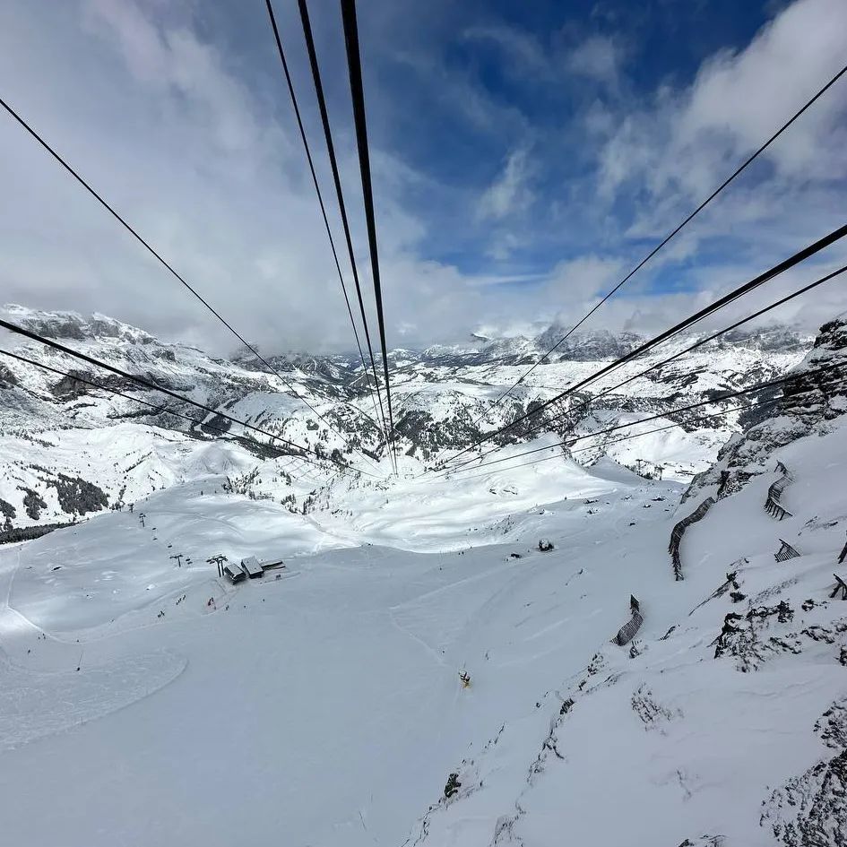
There’s been snowfall across Italy over the past week. Most ski areas are of course closed for the season now, but several dozen remain open into May, including Cortina, Passo Tonale (Presena Glacier 80/120cm / 32/48”) and Cervinia. The Dolomites saw low temperatures and fresh snowfall for the weekend with Kronplatz (10/80cm / 4/32” – 20cm/8” fresh) and Arabba (24/100cm / 10/40” – 10cm/4” fresh) open to next weekend (as well as Cortina). Passo Tonale posted the biggest fresh snowfall total of the last seven days, getting half a metre of fresh snow in time for the weekend. Livigno reported 20cm (8”) in 24 hours.
ITALY FORECAST
It’s warming up now in the Italian mountains following the cold and snowy end of last week. Snow showers have eased off and will continue to become more infrequent for the remainder of the week and restricted to the highest ground with rain at lower levels.
GERMANY REPORT
Germany’s ski season is more or less over with just the Zugspitze Glacier (200/240cm / 80/96”) still open. There’s been fresh snowfall there this week though and 80% of the centre’s terrain is open, with all lifts running. It’s aiming to stay open for another fortnight, through to the start of May. Ironically, conditions have been very winter-like with temperatures hardly getting above freezing and snowfall continuing for much of the last week with 10-20cm more falling most days up on Germany’s highest ski slopes.
GERMANY FORECAST
Remarkably, the midwinter temperatures look set to continue for the next few days at least with temperatures remaining below freezing at 3000m and more light to moderate snowfalls forecast.
SCANDINAVIA FORECAST
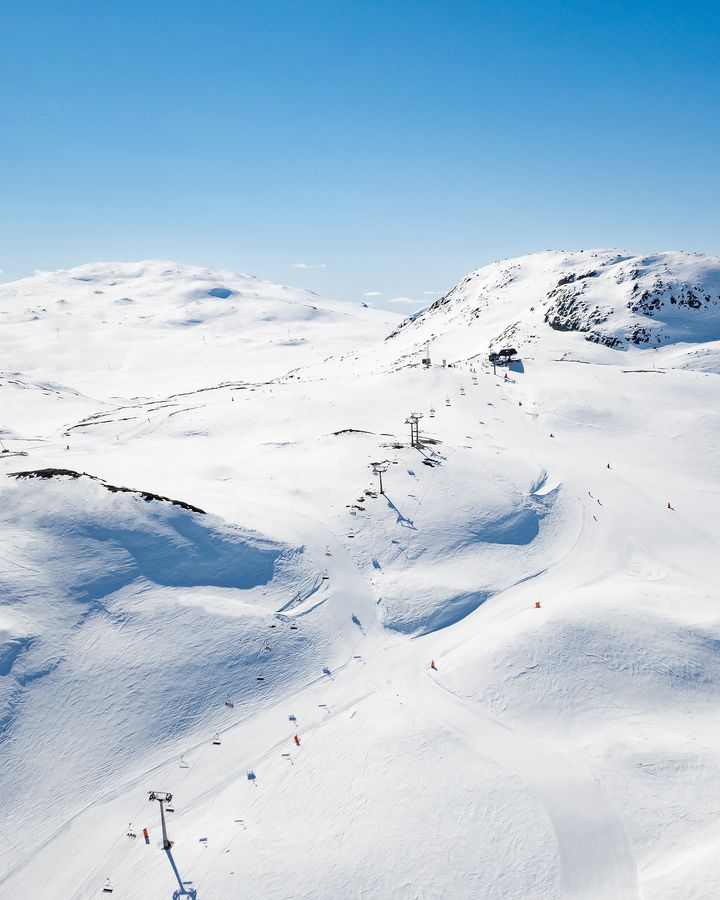
The cool weather and cloud is increasingly giving way to sunshine, particularly at more southerly latitudes in the region, and temperatures could climb quite high over the latter half of this week. Looking like it should stay cooler further north, however, just getting to daytime highs of +5C at the base of the slopes.
SCOTLAND REPORT
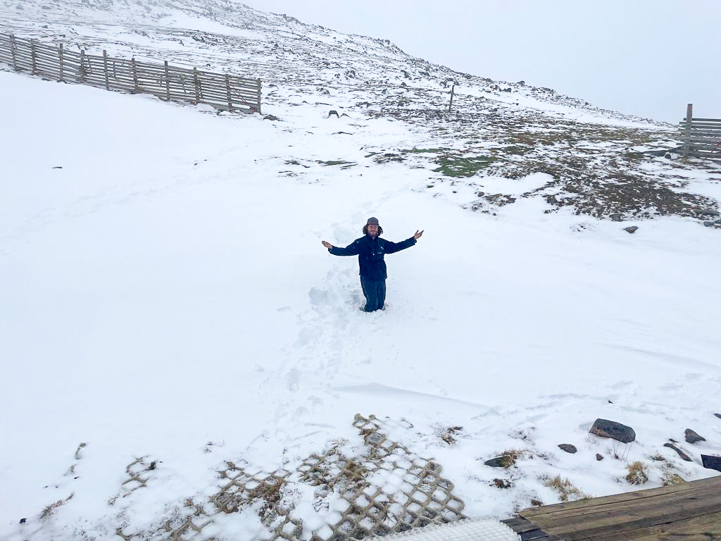
Scotland’s ski season ended on Sunday. Cairngorm was the last area with a few runs up in Ptarmigan Bowl still open until then. Last week did see cold temperatures and snowfall down to low elevations but it wasn’t enough to change things. Glencoe offers chairlift access to ski touring terrain out with the ski area boundary.
SCOTLAND FORECAST
Warm and often sunny weather in the Highlands this week so the remaining snow cover up high should continue its rapid thaw.
SPAIN / ANDORRA REPORT
The season is over in Andorra and Spain with the last centres still open, which had included the Pas de la Casa sector at the largest in the region, Andorra’s Grandvalira, closing for the season at the end of the day last Sunday. The only ski centre believed to be still open in the Pyrenees is Cauterets (0/100cm / 0/40″), now in its final week, which has about 12km (7 miles) of runs representing a third of its maximum terrain still open.
SPAIN / ANDORRA FORECAST
After a few snow flurries up high at the weekend it has been predominantly sunny and temperatures are climbing back into double figures Celsius.
BULGARIA / ROMANIA REPORT
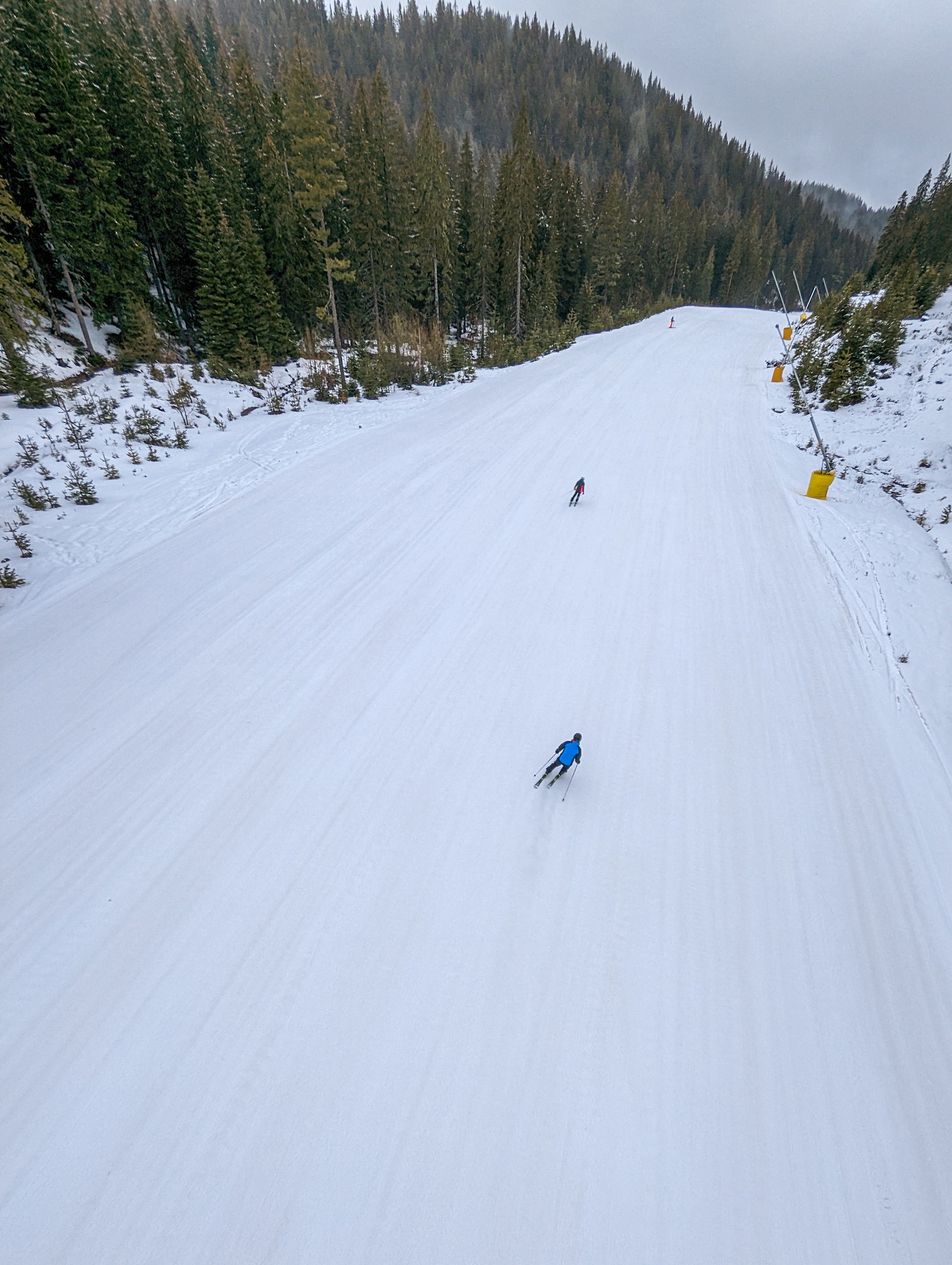
The season is all but over in Bulgaria, Romania, Greece and the wider region too, with almost all of the major centres in the area closing their 22-23 winters on Sunday. The Kanin – Sella Nevea ski area (0/200cm / 0/80″) on the Slovenian/Italian border is likely to be the last ski area open in the wider region, currently targeting the start of May and with just 6km (4 miles) or so if its higher runs open. Its opening days have been reduced to Fridays to Sundays, however.
BULGARIA / ROMANIA FORECAST
It has been a fairly cool and sunny few days in the region but temperatures are expected to rise back towards double figures in the latter half of the week.
CZECH REPUBLIC / SLOVAKIA REPORT
The season ended in the Czech Republic on Sunday with the largest ski area Spindeluv Mlyn among the resorts closing until 23-24. The largest centres in the Slovak Republic are staying open another week and have reported fresh snowfall to make those venturing there for the final days of the season even better. The largest resort, Jasná (0/180cm / 0/72”), still has about half its 40km (25 miles) or so of slopes open.
CZECH REPUBLIC / SLOVAKIA FORECAST
A mixture of sunshine and showers, potentially wintery at times, although with valley temperatures climbing up to +15C by the weekend.
NORTH AMERICA INTRO
Moving into the latter half of April the big snowfalls of recent weeks, and indeed most of the past six months, have finally eased in most North American ski areas and temperatures have been rising too, with some still open centres reporting temperatures reaching +80F. However, parts of the northwest corner of the continent and the northern Midwest have reported 4-8 inches (10-20cm) of snowfall and temperatures are still down below freezing. About 80% of the continent’s ski areas have now ended their 22-23 seasons but 50 or so are carrying on to later in the month with several dozen now targeting May opening too, thanks to the snowpacks they’ve built up through the winter, which should take months to melt away.
ROCKIES REPORT
A changeable week in the Rockies with some ski areas seeing snow still falling. But, for most, warmer than average weather by the weekend led to more fast thawing of the huge snowpack and heightened avalanche danger, as well as rather wet snow by the afternoon. Utah’s Little Cottonwood Canon, which had been at the epicentre of this season’s huge snowfalls, was closed until Thursday preventing skiers from getting to or from resorts including Alta (62/243” / 160/508cm), still with the deepest snowpack in the region, and Snowbird (56/156” / 140/391cm) with the second deepest. More ski areas in the region have closed down but about a dozen now plan to stay open into May due to all the snow still lying. Steamboat (29/76″ / 65/190cm) just hit its second-greatest seasonal snowfall total – 448″ (11.4m) on its closing day last Sunday.
ROCKIES FORECAST
After the warm and sunny weather over the weekend it is looking much more changeable over the next few days with temperatures dropping back below freezing 24-7 overnight and the likelihood of more snowfall on higher slopes.
USA WEST REPORT
Ski areas in the western US continue to dominate the table of resorts with the deepest snow lying, not just in North America but the whole world. A dozen or so resorts in the region say they’ll be staying open into May as a result but some with very deep snowpacks have closed, and the weather is warming up a little with much less snow this last week than previously, except in the northwest corner. Mammoth Mountain (260/315” / 650/787cm) is still 100% open though and plans to stay open into July. It has the world’s deepest snow still, but Palisades Tahoe (68/220” / 170/550cm) isn’t so far behind and is in third place on snow depth worldwide, as well as also planning to stay open until July. Timberline (104/182” / 260/455cm) is worthy of taking note of as it normally stays open into August anyway so is looking good for spring and summer so far with its world top 10 base depth.
USA WEST FORECAST
Conditions continue to warm up and snow showers becoming less common with temperatures ranging from the teens overnight up high to the high 40s/low 50s in mountain valleys in the daytime.
MIDWEST REPORT
The season continues to wind down in the Midwest with the weather bringing a capricious mix of unusually cold temperatures and snowfall in states like Minnesota while further south there are fears of flooding from a fast thaw. Western Wisconsin saw a sudden return to winter and up to 10” (25cm) of new snowfall at the start of the week. Lutsen Mountains (30/50″ / 75/125cm) is the only centre still open daily and has been taking advantage of those low temperatures in Minnesota, close to freezing or below, to enjoy fresh snowfall on its trails, more than 90% of which remain open. A few more centres are open weekends for one over two more weeks but otherwise the Midwest 22-23 season is over.
MIDWEST FORECAST
More unseasonably colder temperatures are forecast in the north of the region for the rest of this week, but it will be mostly dryer weather, just cold.
USA EAST REPORT
It has been warm in the eastern US with temperatures reaching the low 80s Fahrenheit so there has been a real ‘end of season’ feeling on the slopes at the still open centres of the eastern US. Sunday River (36/51” / 91/127cm), up in Maine, still has more than half of its runs open though, it’s now into its final week of the season. Killington (6/23″ / 15/58cm), in Vermont, has the most terrain open in the region, with around 50 miles (80km) of trails. It usually aims to open into late May be it remains to be seen if its base on the Superstar trail can hold out.
USA EAST FORECAST
After the warm, sunny weather recently more clouds are moving in and it’ll be a little cooler, but still much too warm for snow to fall or to slow the thaw significantly and its rain rather than snow expected.
CANADA WEST REPORT
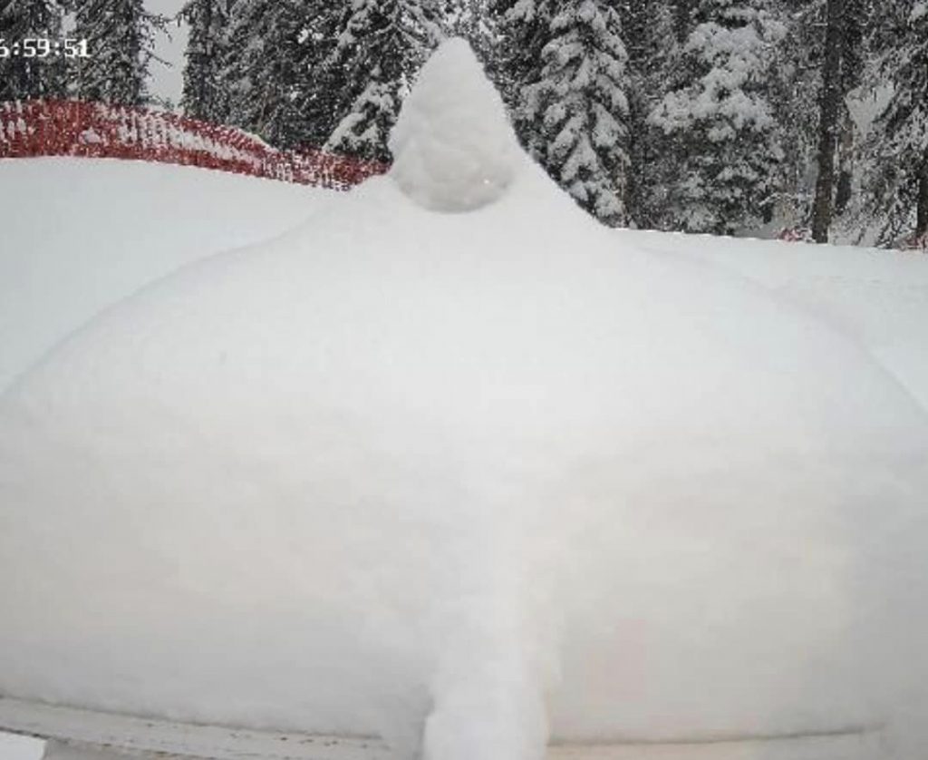
It’s gradually getting warmer in western Canada but there have been reports of fresh snowfall. Marmot Basin (119/119cm / 48/48”), near Jasper, was one of the beneficiaries posting 15cm (6”) of fresh snowfall at the weekend. There’s still a month of the season left at Whistler Blackcomb (0/273cm / 0/109″), which also still has most of its terrains open, North America’s largest. Sunshine Village (70/180cm / 28/72”), also open to the latter half of May, also reported some fresh snowfall.
CANADA WEST FORECAST
Staying fairly cold with light snow showers forecast for the remainder of the week. Many ski areas will only see daytime highs of +2-3C although others will see +7C. But mostly it will be sub-zero, with lows of -10C.
CANADA EAST REPORT
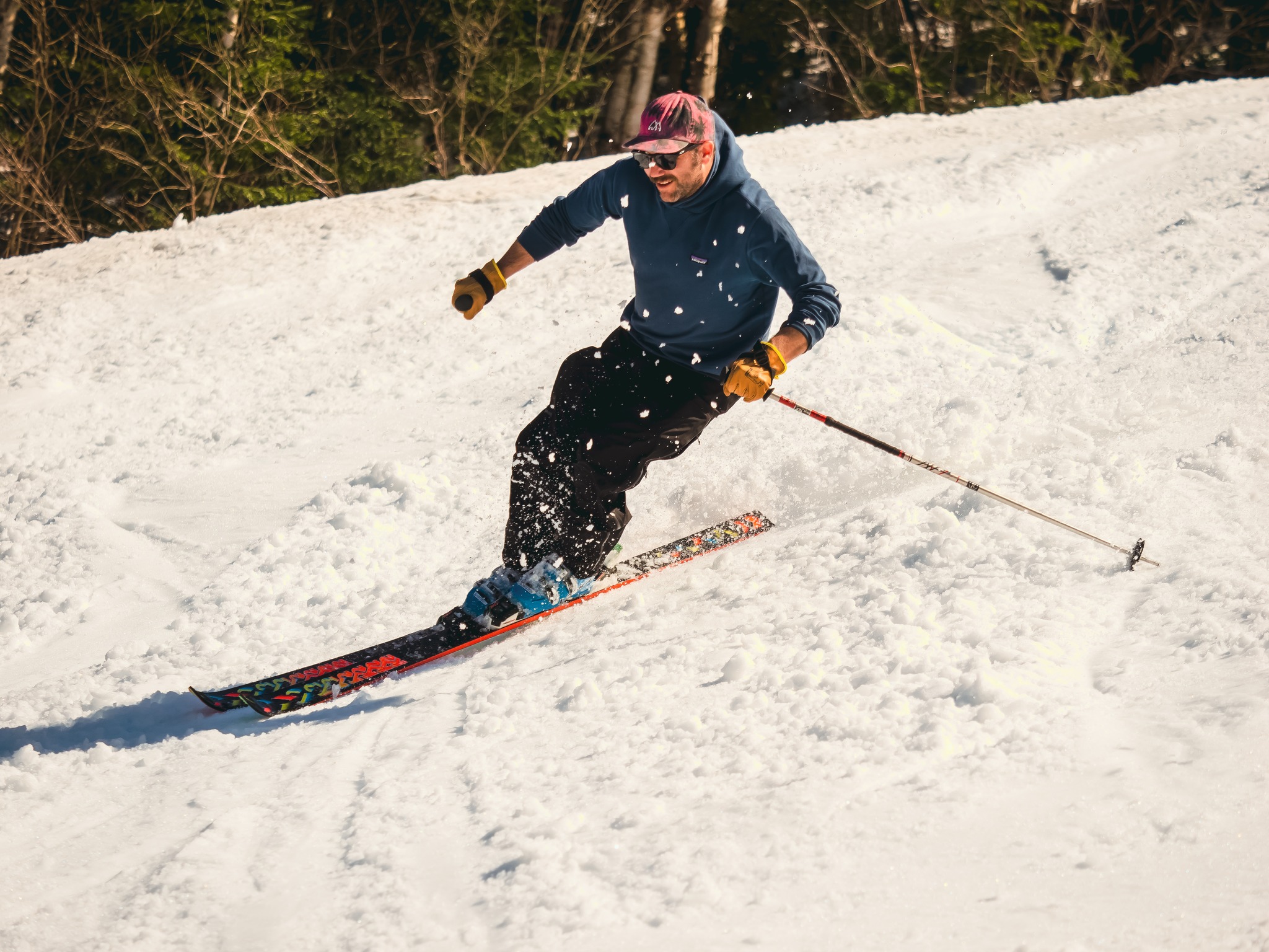
Most ski areas in eastern Canada have now closed for the season, but the largest, Tremblant (10/110cm / 4/44″), is still going, although this is its final full week. Several other centres like Mont-Sainte-Anne (40/75cm / 16/30”) have closed midweek but are re-opening midweek. Temperatures have been creeping up and getting up to the low teens so the spring thaw is gathering pace.
CANADA EAST FORECAST
The next few days will see some warm temperatures in eastern Canada, potentially approaching +20C at mountain bases with rain expected. It should cool by the weekend but there’s definitely an end-of-season feel to the next few days.
Asia
JAPAN REPORT
Spring weather is dominating in Japan now with rain, fog, dry spells and warm temperatures the norm as the snowpack gradually melts. Dozens of bigger areas remain open for 2-3 more weeks though, thanks to the bases they built up through winter. Niseko (10/240cm / 4/96”) is one of them. That said Myoko opened its golf course for 2023 on Monday only to find a layer of fresh wet snowfall on the course. Japan’s only summer-only ski centre, Gassan (100/200cm / 40/80”), has opened for its usually three-month long ski season. But its base is unfortunately only a fraction of the 8m+ it usually has to open with, and as it usually relies on a big spring base to see it through s fast summer thaw it is unclear if it will make it to July this year.
JAPAN FORECAST
Spring weather continues with temperatures fluctuating between around freezing up high overnight to +20C in valleys in the afternoons. A mixture of sunshine and rain with an outside chance of sleet and snowfall up high.

