WORLD SNOW ROUNDUP #280
Issued: 1st March 2023
By Patrick “Snowhunter” Thorne
World Overview
After a generally quiet week ended seven days ago, most of the Northern Hemisphere’s ski areas (and parts of the Southern Hemisphere e.g New Zealand’s Mt Hutt where they had 30cm/12″ of summer snowfall, plus in the Andes) have reported significant snowfall over the past week.
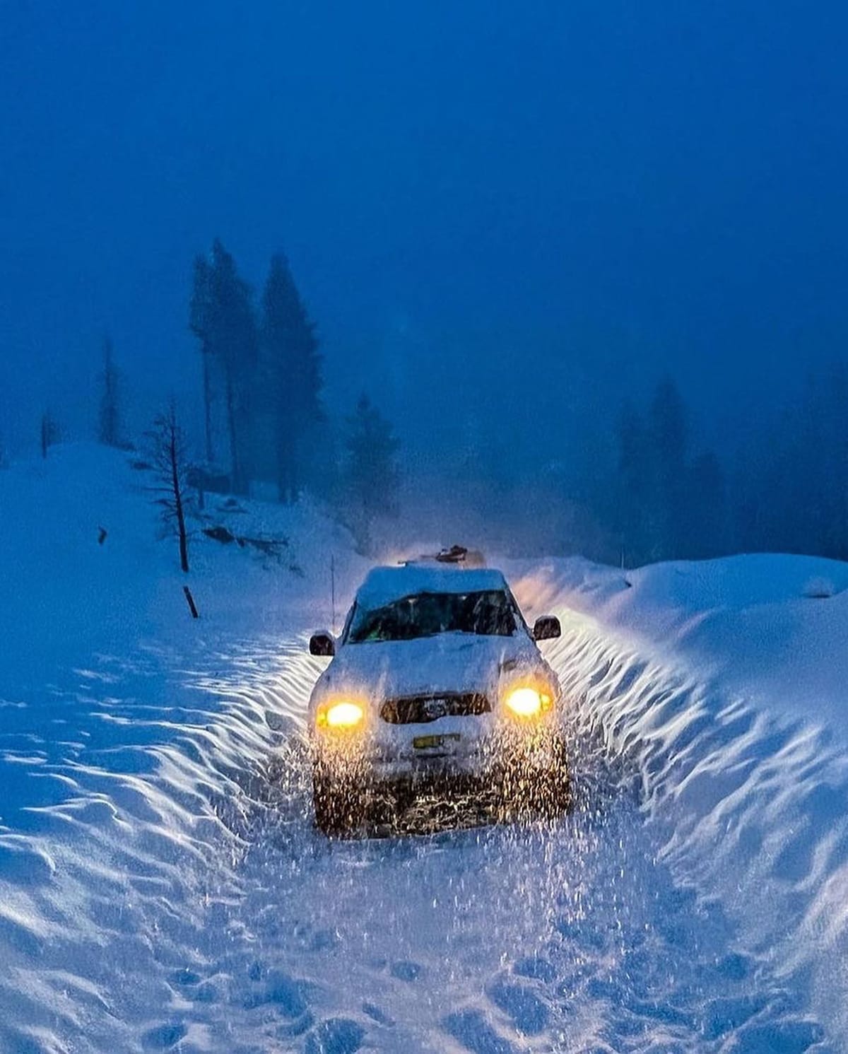
The biggest accumulations have been, as had frequently been the case this winter, in western North America, where several resorts have reported another 1.5 metres (five feet), or more of snowfall. The snow has been arriving with gale force winds giving blizzard conditions at times and and the snow volumes have caused resort access and operation issues, but also built bases. The world’s deepest snowpack, in California, is back over 22 feet (6.5 m) as a result and more resorts in the region have been announcing extended ski seasons. Across the Pacific, the 7-day snow totals in Japan have been in the 1m (40”) plus region too and here the deepest snowpack has passed 5 metres.
In Europe, there’s been some snowfall too. It’s not been on the scale of western North America but even the 10-40cm (4-16″) falls and dropping temperatures have been welcomed after the warm latter half of February. Some areas have seen fresh snowfall for the first time in five weeks. The Pyrenees were first to see the new snow, late last week and it is now spread across most of western Europe. Of course, up in Scandinavia, the snowfall has continued all winter to date and there has been up to 50cm (20″) more there this week too.
Europe
EUROPE INTRO
After over a fortnight of predominantly sunny and warm weather through much of the latter half of February, temperatures started dropping and clouds rolling in soon after we posted last week’s report. Snowfall finally returned to western Europe at the end of last week after a series of false dawns. The biggest accumulations were initially in the Pyrenees where ski areas were posting 40cm (16”) or so by Friday and then the snow began across the Alps. Scandinavia has been mostly snowy all winter, however, and that continued into late February with another 50cm (20”) reported by some western Norwegian resorts.
AUSTRIA REPORT
Austrian ski areas posted 10-30cm (4-12”) accumulations over the weekend and start of this week with the first measurable snowfall in over a fortnight for most giving a good refresh to slope cover. Temperatures also dropped at least 10 degrees to sit around freezing in valleys and 10 degrees or so below at altitude. The weather brought a few less welcome factors into play though, including gales, which closed lifts at higher elevations at some resorts and the entire Molltal glacier resort on Sunday. Other slopes suffered from fog at some centres. Most of Austria’s larger resorts already had 80-90% of their slopes open, so the fresh snowfall has only improved things for the start of March. Sölden (77/230cm / 31/92”) continues to post the country’s deepest now and The Arlberg region (85/180cm / 34/72”) around Lech and St Anton the most open terrain with over 250km representing more than 80% of potential terrain.
AUSTRIA FORECAST
Skies have cleared again across Austria following the weekend snowfalls and temperatures have also risen a little although, thankfully, are not as warm as they were for much of the latter half of February. Highs currently in the range of +3 to +7C in valleys and staying close to freeing, or below, at altitude. More unsettled weather is expected to return at the end of the week.
SWITZERLAND REPORT
Swiss ski centres saw temperatures drop by around 10 degrees at the weekend, going from spring like on Saturday, to much more wintery weather on Sunday. The women’s world cup tour was in Crans Montana (30/80cm / 12/32″) where bare hillside were visible on either side of the slopes. Racing had to be cancelled in the humid conditions on the Saturday but could go ahead on Sunday when temperatures dropped. Despite the weather challenges most larger Swiss resorts have 70-90% of their slopes open as we start March. The 4 Valleys around Verbier (42/90cm / 17/36″) have 85% of their run open, the largest area wholly within Switzerland.
SWITZERLAND FORECAST
A mostly sunny forecast for the week ahead with temperatures ranging from -10C in the mountains to daytime highs around +6C in valleys.
FRANCE REPORT
France has seen fronts reach its northern ski areas from the north and east and the French Pyrenees and southern Alps, up from the Mediterranean, since the end of last week. It’s actually the front from the south that has delivered the most snow, with some resorts in the Pyrenees posting 40cm (16”) of fresh for the weekend. Further north some centres, which hadn’t seen snowfall for a month, did at least get some snow. But it was just a few centimetres, not even double figures. Possibly more important though, temperatures saw a big drop back down to or below freezing after weeks of warmth, stopping the thaw in its track. Tignes and Val d’Isere (89/272cm / 36/113”) have been posting Europe’s deepest snow stats for months but were in danger of losing it to a Norwegian resort this week. However, an extra 2cm (less than an inch) of fresh has kept the famous ski region just in the top spot. Its slopes are more than 95% open, like most of the big French ski regions.
FRANCE FORECAST
Back to mostly sunny weather although with some clouds. Temperatures will be about five degrees cooler than they were for much of the latter half of February, which is in the -10 to +5C range on the whole, getting cooler towards the weekend.
ITALY REPORT
A similar scenario in Italy to the rest of the ‘big 4’ alpine nations with snowfall arriving in the countries northwest from the Mediterranean then over in the north and east from the front that came down from the Arctic via the Tatras and Austrian Alps. No big snowfalls were reported (Cervinia reported the biggest with 20cm/8” on Tuesday morning) but a light covering for slopes across the country. Here too most resorts continue to have the majority of their terrain open, despite not having much in the way of base depths after generally low snowfall totals this winter, in common with most of western Europe. La Thuile (30/150cm / 12/60”) on the French border is reporting the deepest snowpack in the country.
ITALY FORECAST
Sunny weather is forecast for the rest of this week and daytime highs a degree or two higher than further north, touching +7 to +9C in the afternoons. Overnight lows going about as far into negative digits up high.
GERMANY REPORT
Germany has had a mix of rain and snowfall over the last week, the rain at lower-lying resorts exacerbating the same problem, warm weather, that has been present all season, the snow at higher levels refreshing cover. After three-quarters of German ski areas were open after the snowfall in mid-January, they’ve dropped back down to only about a quarter still open now. But temperatures have been getting lower and up to 30cm (a foot) of fresh snowfall has been reported on higher slopes so there is hope. Reit im Winkl (7/110cm / 3/44”) has a very thin base on its lower runs left now but reports it still has the most slopes fully open in the country.
GERMANY FORECAST
It’s a return to sunny weather for the latter half of this week. Temperatures yo-yoing between around +7 and -7C depending on altitude and time of day. So more thawing on lower slopes is expected.
SCANDINAVIA FORECAST
Very cold with plenty of snow showers in the far north (Lapland), with lows in the -20s Celsius, and highs still well below freezing. Further south in Norway and Sweden daytime highs will be in the plus figures, with lows around -10 up on the slopes. It’s also looking drier with plenty of sunshine further south as we start March.
SCOTLAND REPORT
There’s been some snowfall and recently very low overnight temperatures but the February trend of snowpack thawing to ever higher levels has unfortunately continued through another week of weather ups and down. On the west Glencoe and Nevis Range are closed for snow sports other than sledging at Glencoe and for tourers to use lifts to access what snow there is left up high. Further east Glenshee, The Lecht and Cairngorm had beginner areas “hanging in there” (as a Glenshee statement put it) thanks to all-weather snow-making machines but not much more.
SCOTLAND FORECAST
There are no big changes in the forecast that suggests Scottish ski areas will receive enough natural snowfall to be able to re-open, that said low temperatures should allow more widespread snow-making so nothing is impossible.
SPAIN / ANDORRA REPORT
A change in the weather in the Pyrenees began last Thursday when temperatures dropped and snow clouds moved into Spain and then Andorra, bringing 5cm (2″) falls initially and then accumulations of 20cm (8″) by Friday. This was very welcome as bases had got low and the snow had turned ‘old’ in warm sunny weather through the previous fortnight. In France, the snowfall was even heavier with some resorts posting 40cm (16″) of fresh by Saturday morning. The cold weather and fresh snowfall were very welcome after a fortnight of rather warm temperatures and diminishing snowpack, although as in the Alps most areas still had most of their runs open.
SPAIN / ANDORRA FORECAST
We’re back to sunny weather for the remainder of this week. But, thankfully, 5-10 degrees cooler than it has been with highs around +2-3C and lows down to -10C.
BULGARIA / ROMANIA REPORT
A rather different weather pattern in Bulgaria and Romania to much of the rest of mainland Europe with, unfortunately, warm as well as sunny weather dominating through the weekend. But while the rest of Europe is warming up a bit and looking sunny for the rest of this week, the reverse is true in the Balkans. The region’s ski areas are still battling to open terrain after the terrible start to the season but Bansko (5/70cm / 2/28”) has just about managed to keep its home run open and has 80% of runs skiable. That’s a lot better than smaller Vitosha (40/50cm / 16/20”), which still only has about a third of its slopes open.
BULGARIA / ROMANIA FORECAST
Temperatures are set to drop dramatically in the latter half of this week, going below freezing day and night. Snowfalls are also expected from Wednesday right through to the end of the week, bringing 5-10cm (2-4”) daily.
CZECH REPUBLIC / SLOVAKIA REPORT
A mixed week in northeastern Europe with some low-lying slopes seeing rain, but higher resorts got snow, along with more strong winds at times. So as with much of Europe, the bigger, higher destination resorts are in pretty good shape for the start of March, with smaller, low-lying centres still struggling. The largest resort in the area, Jasna (50/180cm / 20/72”), continues to post the deepest base in the region and has 100% of its slopes open, claiming powder conditions to start the week.
CZECH REPUBLIC / SLOVAKIA FORECAST
After the cold and snowy end to February, the sunshine is expected to return through the first week of March. But it should be colder than it has been, with highs close to freezing at 1,000m and staying well below zero Celsius at higher altitudes this week.
NORTH AMERICA INTRO
Quite a week across North America with plenty of snowfall the main thing, some areas posting over five feet (1.5m) in the past seven days. But what’s more unusual is that almost all of the continent’s ski areas, from coast to coast, saw good snowfalls. We’ve also had a lot of extremes including a 100-degree plus difference between the hottest and coldest parts of the continent, some ski centres in the north forced to close after temps dropped into the minus 30s Fahrenheit, others as gales brought blizzard conditions, or just because there was simply too much snow to dig out. Things have calmed a little since but the world’s deepest snowpack is back over 20 feet (6m) and there’s fresh snow lying almost everywhere. At the other extreme though, record-warm temperatures in the southeast have led to ski areas ending their seasons early in February.
ROCKIES REPORT
Plenty more snowfall in the Rockies as the sensational 22-23 ski season continues here, with more resorts posting the best for decades or best-ever stats for the volumes of snowfall they’ve received so far this season. America’s largest ski area at Park City (83/112″ / 208/269cm) continues to be 100% open while fellow Utah ski area Alta (50/139” / 125/348 cm) continues to post the deepest base in the Rockies. Temperatures have generally been in the low single figures to high 20s Fahrenheit and after a sunny start to the week for much of the Rockies region, the snowfall has now returned.
ROCKIES FORECAST
A mixed week ahead for weather in the Rockies with temperatures staying low, mostly well below freezing, but climbing up close to freezing (but staying just below) in some areas. A mixture of sunshine, cloud and generally light snow showers as we start March.
USA WEST REPORT
Exceptional snowfalls, at times accompanied by gale-force winds giving blizzard conditions, have been hitting the US west for much of the past week. Resorts in California posted up to 7 feet (2.1 metres) of snowfall and are setting 30-year snowfall total season-to-date records, several passing the 33 feet (10 metres) fallen this winter mark. All the snowfall has of course created issues clearing roads to access ski areas then digging out and de-icing lifts and making terrain avalanche safe to open. Mammoth Mountain (161/260”/ 403/617cm) reported over five feet of snowfall by the end of the weekend and more snow is now falling as we complete this week’s report. The Palisades (47/136″ / 117/335cm), which has been hosting world cup racing at the weekend between storm fronts, says it has had over 33 feet/11 metres of snowfall this season, a 30-year high.
USA WEST FORECAST
After all that weather things have calmed down and it is actually a sunny week expected ahead. Ski areas should be able to re-open terrain to make the most of all the snowfall.
MIDWEST REPORT
It has been one of the best weeks of the season so far in the Midwest with several states including Minnesota and Michigan declaring powder days around and before last week with ski areas receiving at least a foot (30cm) of fresh snowfall from the storm that moved in from the north and east. The temperature did get down as low as -5F at the weekend too though. Michigan’s Marquette Mountain (30/30” / 75/75cm) posted 21” (53cm) of snowfall in 24 hours at the weekend, with Minnesota’s Afton Alps (10/10” / 25/25cm) reporting 12” (30cm) one day and another 16” (40cm) the next. Another Michigan area, Ski Brule (7/71” / 177/177cm) has the deepest snow in the region.
MIDWEST FORECAST
Sunshine has returned for the start of the new week with temperatures in the low single figures to high 30s Fahrenheit range. Some clouds are expected over the next few days, but no more major snowfalls are forecast for the time being.
USA EAST REPORT
Mostly good news for the major ski regions of the Eastern US with a series of storms bringing powder conditions and a foot or more of fresh snow to ski areas in the region, those in Vermont, Maine and upstate New York doing particularly well and seeing a return of full-on winter. Sunday River (36/51″ / 91/127cm) is reporting the region’s deepest snowpack and has the second-most terrain area open after Vermont’s Killington (16/21″ / 40/54cm). There’s a north-south divide though as while northern areas are looking good, the southeast has seen a fortnight of record-high temperatures for the latter half of February. Wintergreen, in Virginia, announced it was giving up on the 22-23 season last Friday and closed on Sunday.
USA EAST FORECAST
After a brief lull in the storm systems and a little sunshine to start the week, heavy snowfall is expected to continue in most areas for the rest of the week with temperatures ranging from single figures up to the mid-30s Fahrenheit.
CANADA WEST REPORT
Cloud, snowfall and cold have been the dominant weather factors across western Canada over the past week with even coastal Whistler (20/235cm / 8/94″), which remains 100% open and is famed for its above zero winter temps and rain at lower elevations, has hardly gotten above freezing and definitely seeing white stuff rather than wet stuff. Inland temperatures have been getting very cold again, down into the minus 30s up high, leading ski centres like Sunshine near Banff to limit operations, open later in the day and so on. But overall, plenty of powder and a still very high avalanche danger in the backcountry.
CANADA WEST FORECAST
Not a great deal of change in the weather forecast with a succession of fronts expected to keep bringing more snowfall into the west, temperatures remaining very cold and cloudy weather expected to dominate even when it’s not snowing.
CANADA EAST REPORT
It has been very cold with frequent snow showers in Quebec over the past week. Conditions are the best they’ve been all season with resorts like Mont-Sainte-Anne (50/75cm / 20/30”) and sister resort Stoneham (50/70cm / 20/28”) posting their best snow depths of the season so far and that they’re 100% open. Tremblant (54/220cm / 22/88”), also fully open, continue to have most of its terrain open and report the deepest snow in the region.
CANADA EAST FORECAST
It looks drier for the remainder of this week with some sunny, and some cloudy spells. Temperatures should remain below freezing from top to bottom of the mountain with lows around -1%C on higher slopes, and daytime highs around -5C in resort.
Asia
JAPAN REPORT
It has been a predominantly snowy week in Japan with many areas reporting 10-20cm (4-8”) of fresh snowfall daily through the latter half of this week and the weekend. Niseko (170/400cm / 68/160″) has hit the four-metre mark after a good week of low temperatures and snowfall there. It’s posting some of Japan’s deepest snow (as usual) with Yudonosan (510/510cm / 204/204”), in Yamagata prefecture, posting the deepest snow in the country and the second deepest in the world after Mammoth Mountain.
JAPAN FORECAST
The weather has settled down a lot over the past few days with more sunny skies at the start of this week, but snowfall is in the forecast for the remainder of the week. Temperatures range between -8 and +5C.

