WORLD SNOW ROUNDUP #264
Issued: 2nd November 2022
By Patrick “Snowhunter” Thorne
World Overview
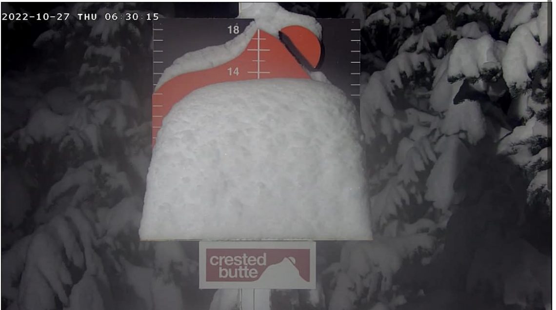
Western North America continues to be the region reporting the most early snowfall with three Colorado ski areas now open and at least one more due to join them in the next few days. Ski areas further north posted up to 36 inches of snowfall last week and similar accumulations seem likely again for some this week as another front moves through as we post this report and temperatures remain low. Canada’s season is expected to begin on Friday in Alberta with five areas there set to open over the following seven days.
In Europe, last week was unfortunately mostly more of the same, with mostly dry and sunny weather and there were no new resort openings. It is looking a little more promising as we begin November with colder temperatures and some snowfall in the forecast for the next few days.
In the Southern Hemisphere, where the last areas still open for the 2022 season closed more than a week ago, there’s been mixed news. In Australia, where the season ended at the start of October and it is only a month to the start of summer time, there was 10-20cm of snow reported on ski slopes as unseasonal cold and snowy weather moved up from the Antarctic. That would have been welcome in New Zealand though. Here the last areas that had been open, the last in the Southern Hemisphere for 2022 in fact, closed just over a week ago. But one, Mt Hutt, had planned to keep its terrain park open into November for ‘spring sessions’. However, rain and warm weather at the end of last week resulted in a decision to scrub that plan and the park closed down at the end of the day last Saturday until next winter.
October 2022 won’t go down as a great month for snowfall in Europe with much of the month dry and warmer than usual (still). It’s the first time in more than 50 years that no ski area has opened in October in France. However, we start November with about a dozen glacier areas open in the other three ‘big four’ alpine ski nations and the immediate forecast shows temperatures lowering and snow-bearing fronts moving in later in the week. So, hopefully, November will be better. The only place looking quite wintery already is up north in Finland where ski centres opened with snow-farming a month ago but have now had low enough temperatures for snow-making on top and then some natural snow has been falling too.
AUSTRIA REPORT
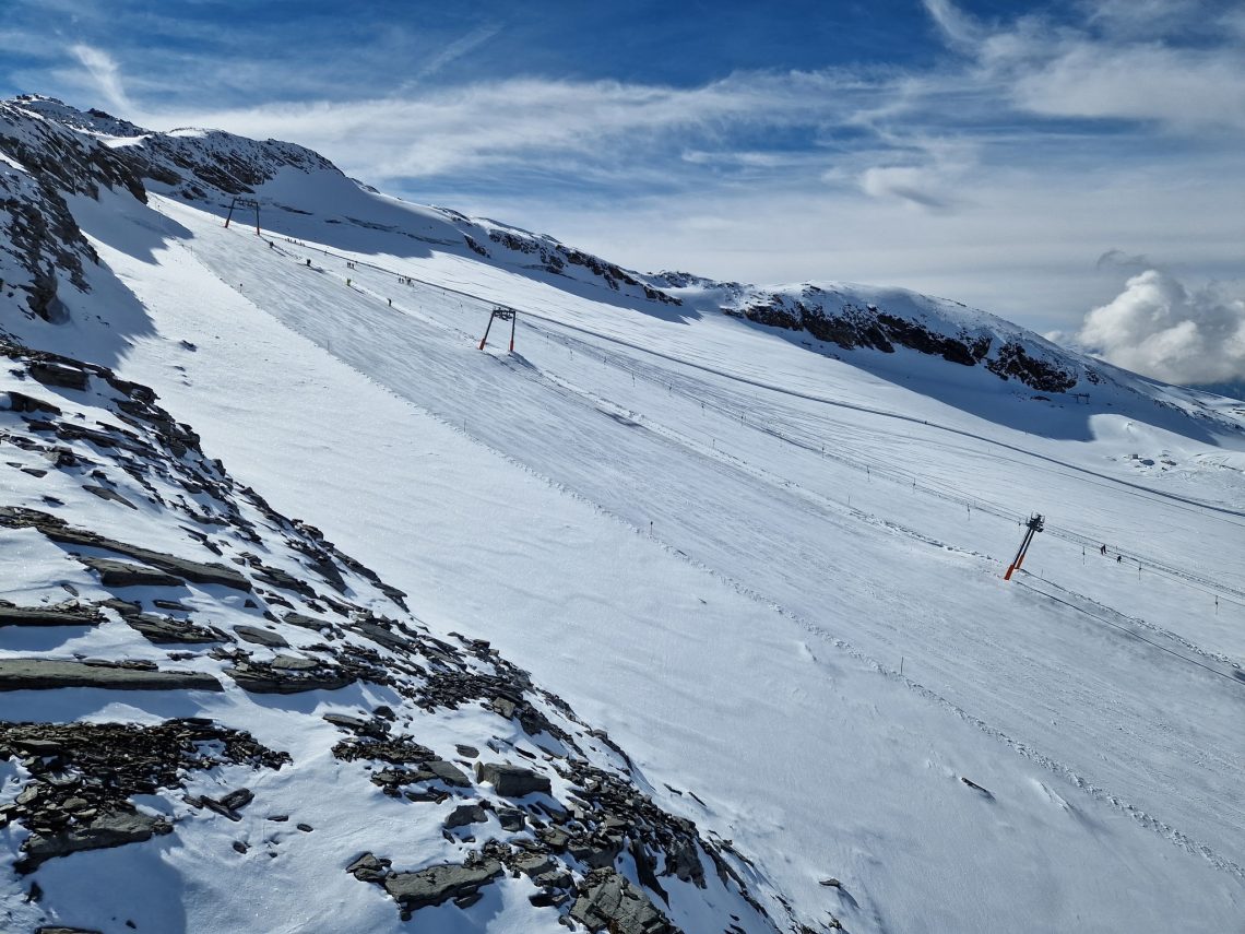
There’s little change in the picture from seven days ago in Austria with the past week mostly sunny with temperatures on glaciers around the freezing point, sometimes a few degrees above, but with no serious impact on the snowpack. In fact, a number of areas have managed to open a little more terrain. Among them, the Hintertux Glacier (0/65cm / 0/26”), which has opened a couple more runs to hit 35km (22 miles) of slopes open, a few more kilometres than a week ago and still the most terrain offered by any area in the world at present. The six glaciers open in Austria for downhill skiing, plus the Dachstein for cross country, also remains the most open anywhere in the world. But the Molltal, which would previously have been open since last May, remains closed and Kitzbuhel, which would normally have opened a few runs in October likewise using snow-farming. Solden (0/83cm / 0/33”) has the second-most terrain open with 27km (17 miles) having also opened a little more terrain. For the Kitzsteinhorn (0/55cm / 0/21”) the onus in November is on the huge halfpipe they’ve carved on their glacier with the resort expecting some of the world’s top freestylers for training through November. Other centres continue to focus on new season gear tests and park sessions with limited terrain open so far. Those already open include the Pitztal (0/56ccm / 0/23”), Stubai (0/10cm / 0/4”) and Kaunertal (30/50cm / 12/20”).
AUSTRIA FORECAST
The weather picture is a bit more promising if not yet a lot more in Austria. Temperatures are set to well below freezing on glaciers in the latter half of the week with skiers more overcast. There’s snow forecast at the weekend but so far not a lot. However, things may improve as this period draws closer, or not. But at least there’s hope. Colder at lower elevations too, down to single figures for temperatures in Austrian Valleys by the weekend.
SWITZERLAND REPORT
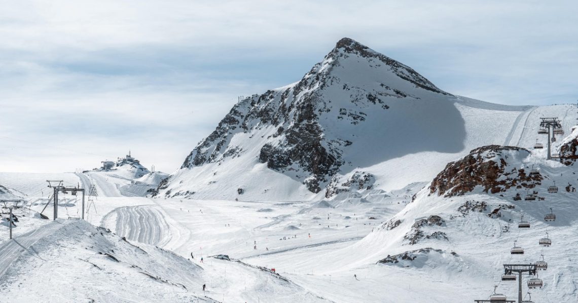
Switzerland has seen out October with three ski areas open. The predominantly dry weather, which has continued for the past week, has led to centres like Andermatt and the Diavolezza Glacier near St Moritz that usually open in October delaying their 22-23 season starts. However, they, along with resorts like Davos, Laax, Glacier 3000 and Adelboden are among the centres expected to open in the first half of November, all being well. Zermatt (0/110cm / 0/44″) has been mourning the failure of the plan to run World Cup downhill races last weekend and this coming one with both the men’s and women’s races now cancelled and the speed season opener now moved to Lake Louise later this month. It did though still run the fringe events planned for the races that didn’t happen and its glacier slopes remain open with new terrain added at the weekend. So it is now up to 17km (11 miles) of runs open. Saas Fee (0/140cm / 0/56”) is reporting the deepest base of an open centre at present but has lost about a third of its open terrain compared to a week ago, down to 14km (9 miles), Engelberg (0/40cm / 0/16”) remains the other Swiss choice.
SWITZERLAND FORECAST
The weather is looking more promising as we move into November with lower temperatures and more unsettled conditions forecast. The start of the month looks increasingly cold and cloudy after the predominantly dry and sunny October, with an increasingly strong likelihood of snowfall later this week.
FRANCE REPORT
It has been another fairly dry week in the French Alps, unfortunately, although temperatures have been cooler and the past 24 hours have seen some more unsettled weather and light to moderate snowfall up high. But as we enter November tension is building around the conditions with more snow needed. Tignes and Les 2 Alpes had both hoped to be open right now with glacier skiing but both have had to postpone opening; Tignes until there’s adequate snow and Les 2 Alpes until December, because of inadequate cover-up high. So, currently, Val Thorens has the earliest declared opening date in the country, in just over a fortnight.
FRANCE FORECAST
Conditions are looking more promising for the first week of November with temperatures well below freezing at altitude and for the first time getting down towards freezing overnight down in valleys too. What’s missing is any sign of significant snowfall as yet. But it does look more unsettled with light snow/precipitation on the cards for the next few days between sunny periods.
ITALY REPORT
As with the resort of the Alps, Italy’s ski season has rather been on hold over the last seven days with little fresh snow to report and still well below average levels of cover on glaciers. The final week of October was predominantly dry, sunny and warm once again. However, Bormio reported it had 30cm (12″) of fresh snow up high at the weekend, although it wasn’t clear how much of that had fallen in the last week and two Italian glaciers are currently open. A third resort, Cervinia, which had been due to be the venue at the bottom of those planned new cross-border FIS Alpine World Cup downhill races last weekend and next, is still providing lifts up to the glacier above Zermatt for regular skiers and border, if sadly not the world’s best downhillers since the races were cancelled. Passo Stelvio (5/20cm / 2/8″) is probably in the final days of its 2022 season, which began last May while Val Senales (0/40cm / 0/16″) is hoping to stay open until next spring and waiting for more snowfall. More Italian areas will open as soon as they can, Cortina had said they hoped to open in October if they could. But cold weather for snow-making and natural snowfall is needed first though.
ITALY FORECAST
The first week of November is looking much more promising for Italy than much of October. Colder temperatures are forecast right down to the valley floor with subzero temps expected overnight and through the day at altitude. The weather is much more changeable too with more clouds and hopefully some snowfall through the weekend.
SCANDINAVIA REPORT
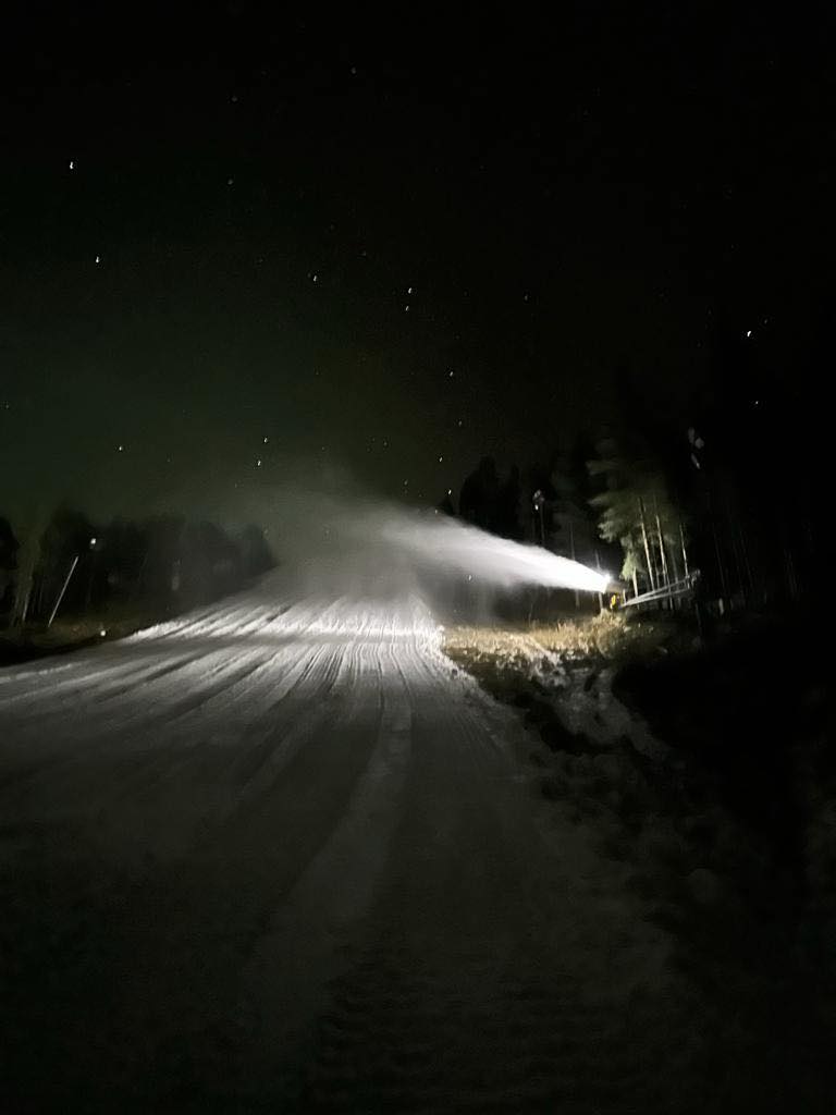
Scandinavia continues to be the place to be if you want to feel some wintry weather ahead of the actual winter in Europe. There’s no change on what’s open on a week ago and there’s not been much natural snowfall over the last seven days. But low temperatures have allowed more snow-making systems to fire up. Where centres have opened using last winter’s snow, stored under covers through the summer then spread back out on the slopes, it’s putting a fresh cover on the snow surface each morning. Finland’s Levi (5/30cm / 2/12″) and Ruka (5/30cm / 2/12”) are looking the most wintery in Europe thanks to their northerly latitude with about a foot (30cm) of fresh snowfall in the last week, much of it falling at the weekend. You can still ski at Norway’s Galdhopiggen summer ski glacier area (10/50cm / 4/20”) too, which looks like it will be staying open a few weeks longer than usual towards mid-November after its prolonged closure from July to September in the summer heat. Then in Sweden Kåbdalis (0/60cm / 0/24”) and Idre Fjall (0/45cm / 0/18”) have opened slopes using snow-farming and have been making fresh snow on top as well.
SCANDINAVIA FORECAST
Scandinavia’s days are fast getting shorter and in the northern part of the region, the sun will disappear completely for a while in a little over a month. Temperatures are hanging around the freezing point, sometimes dipping a few degrees below but mostly still a few degrees above. But there’s definitely a taste of winter. Skies will be mostly overcast with occasional rain or snow showers over the coming week.
NORTH AMERICA INTRO
The season continues to pick up pace in North America with two more ski areas opening in Colorado and plenty more snowfall reported across the west as well. At this point the hope is that the momentum will continue to build, temperatures stay low and the snow keeps falling because most of the continent’s leading ski areas plan to open over the next four weeks, most hoping to have runs open in time for the Thanksgiving long holiday weekend at the end of the month.
USA REPORT
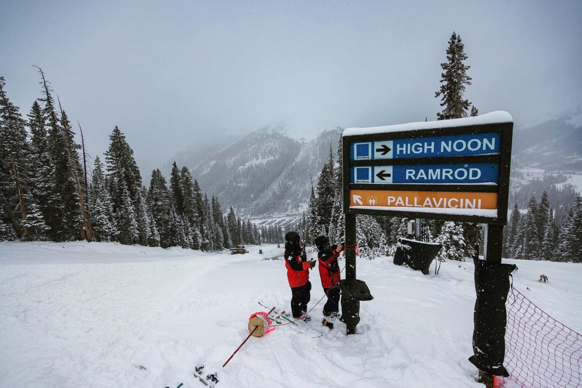
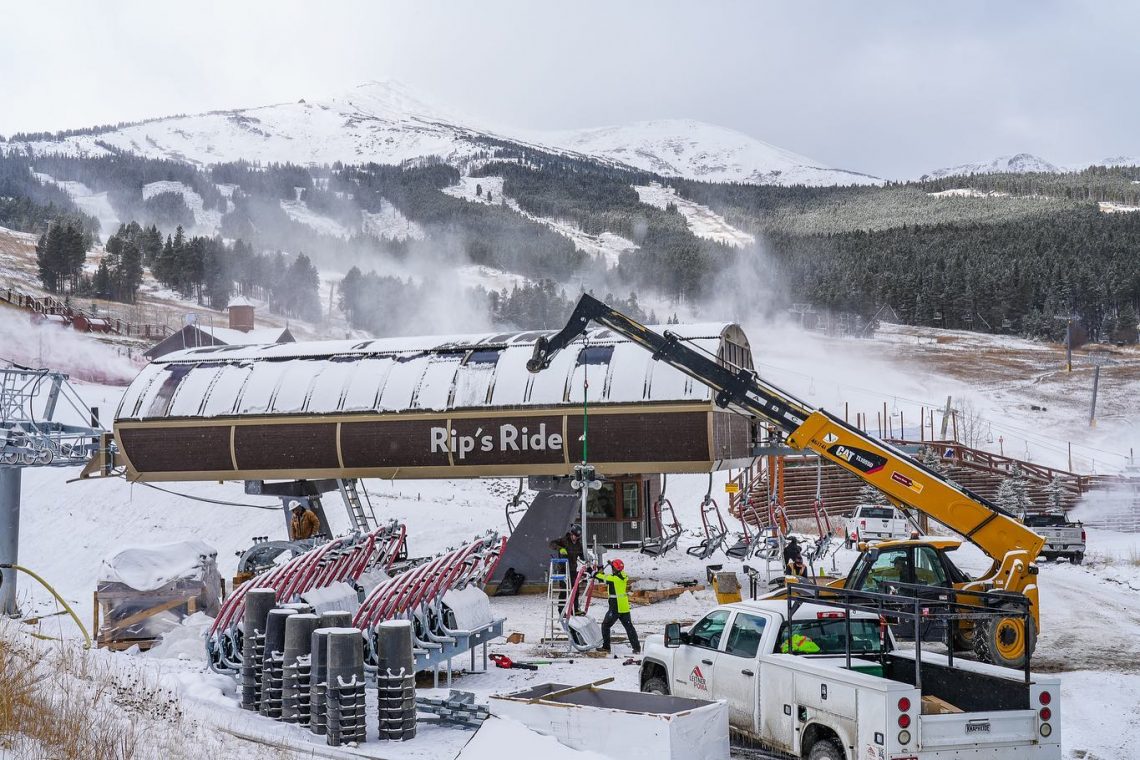
Excitement for the start of the 22-23 season continues to build with Keystone opening on Friday, joining Arapahoe Basin (15/45cm / 6/18″), which itself opened a second run and Winter Park was the third resort to open in the state on Tuesday, Halloween, it’s earliest ever opening date and a response to the recent cold and snowy weather in the Rockies. Keystone (0/30cm / 0/12″) was particularly proud of having completed a two-mile (3km) long run ahead of opening day. More Colorado resorts and the first in California and other states plan to start their seasons over the coming week if conditions allow. Those conditions saw further snowfall in the Rockies last week as a series of cold storms dropped more than two feet of snow at higher elevations over the latter half of last week leaving some ski areas in Utah and Montana posting more than 30 inches (75cm) storm totals by the weekend. In the mountains of Washington state in the Pacific Northwest up to 24″ (60cm) of snowfall was reported with several mountain passes closing for the winter. Aspen Snowmass, which opens later this month, reported up to 13 inches (33cm) in 24 hours and reported early season trail preparation work underway and the snow-making guns were turned on, on 1 November. Wolf Creek in southern Colorado, which relies more on natural snowfall, says it will open for a long weekend from this Friday, 4th November.
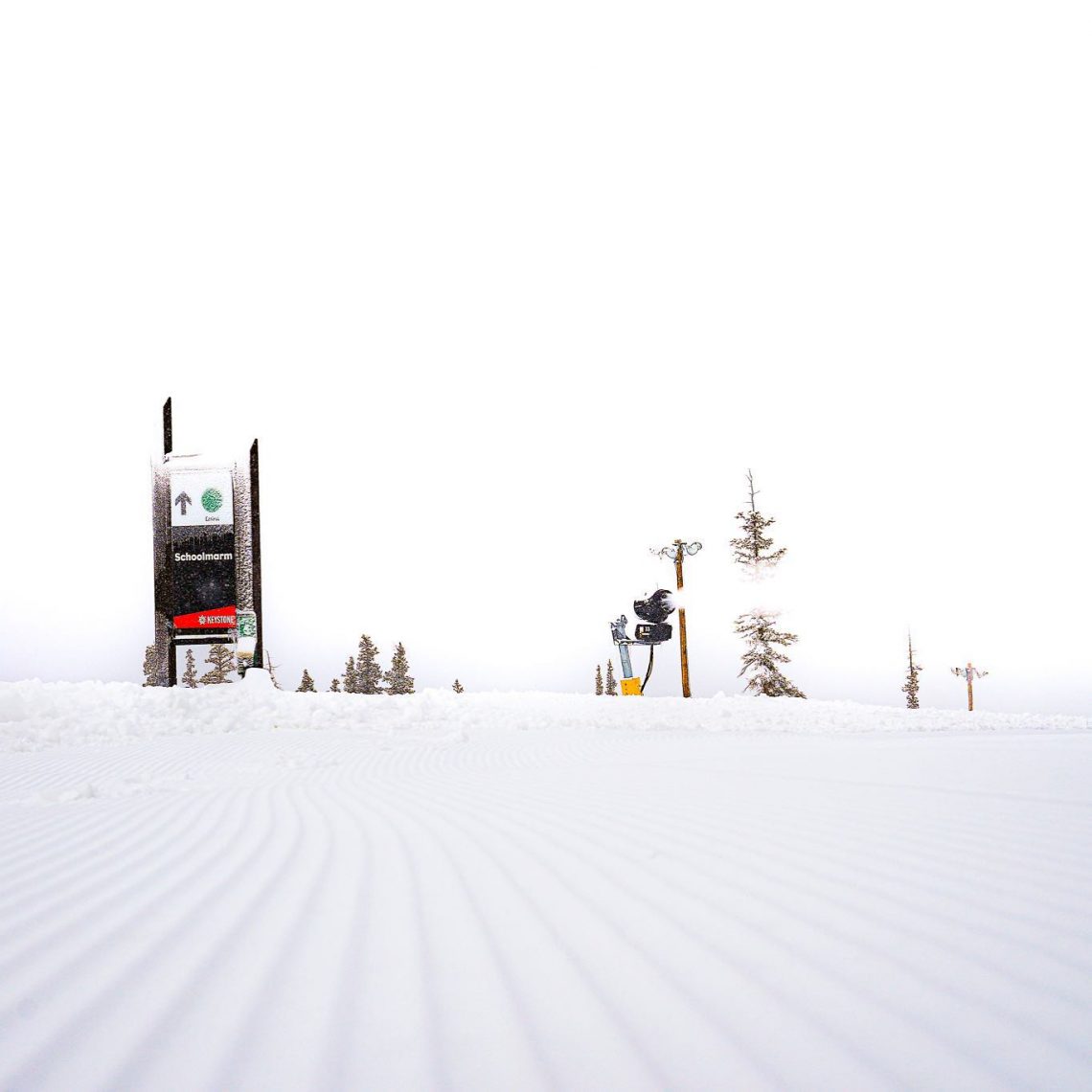
Over in the east, it has been cold enough for more snow-making systems to fire up, especially in the north of the region, but no October opening this year. Of the three centres that had opened first in North America in the Midwest in mid-October, the past few weeks have been warmer and it’s been a bit of a battle to stay open, but the forecast is starting to look more promising once again.
USA FORECAST
It’s look promising for mountains in California and the mountains along the US West Coast as a storm system moving down from the Gulf of Alaska is expected to bring substantial snowfall with perfect timing for the season starting through November there. Six to 12 inches (15-30cm) is forecast. Drier further inland but the snow should arrive in the Rockies by the end of the week and crucially temperatures are looking fairly low in most areas, well below freezing day and night from Wednesday above about 9,000 feet.
CANADA REPORT
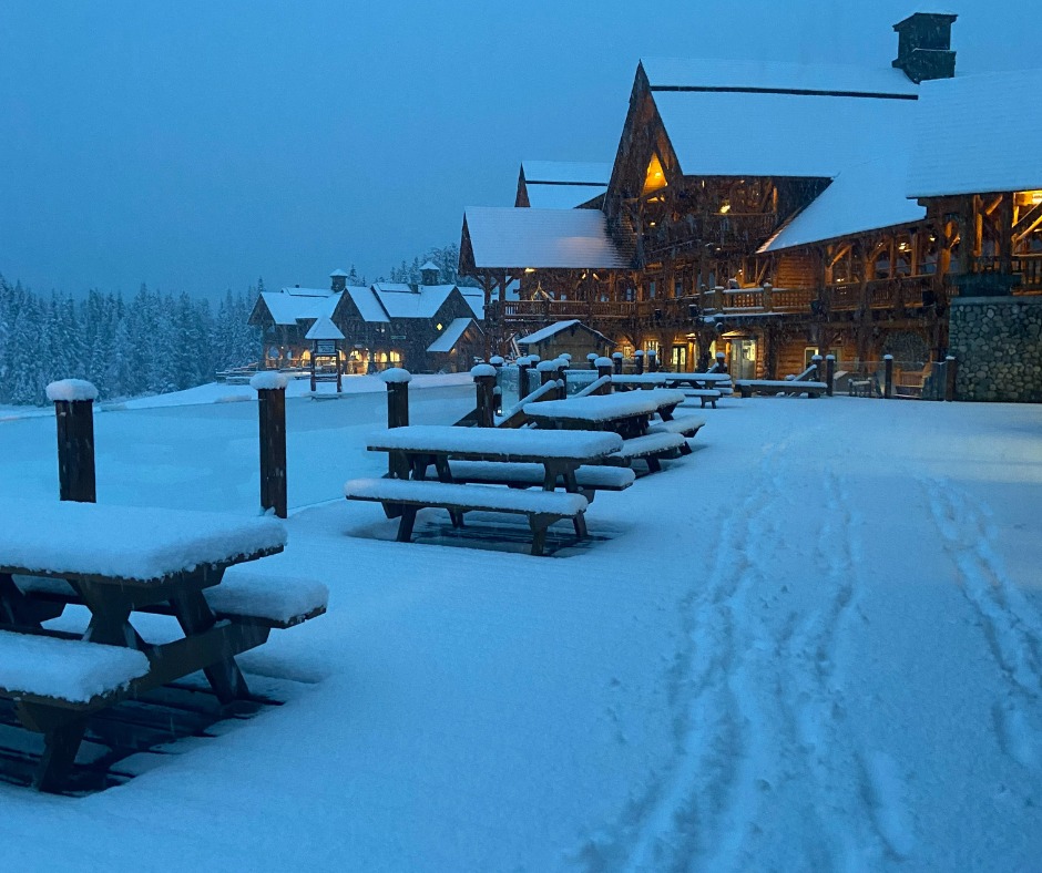
Excitement is building in Canadian ski circles fuelled by heavy snowfall in the west and the news that the first resorts are hoping to open for the 22-23 season from this coming Friday, November 4th. Banff is, as usual, the centre for early openings (as it is again the place where resorts are still open into May at the other end of the season). Lake Louise and Mt Norquay are the two with ‘tentative opening dates’ of this coming Friday and at the time of writing things appear promising with heavy snowfall into the weekend and then more snow falling over the last few days meaning some centres in the area have reported over half a metre of snowfall so far. There have also been low temperatures, with centres in the region not really getting above freezing day or night, top to bottom of the mountain. After those first two areas open, Alberta’s closest area of Nakiska, the third Banff area of Sunshine and Marmot Basin, up north near Jasper, all expect to open over the next seven days. Sunshine reported groomers are already on the hill preparing slopes there.
CANADA FORECAST
Cold and snowy weather is expected to continue through the remainder of this week with ski areas in Alberta and BC seeing 5-15cm (2-6″) accumulations most days. Temperatures well below freezing on higher slopes and rarely get above zero Celsius in valleys.

