WORLD SNOW ROUNDUP #165

Issued: 11 November 2020
By Patrick “Snowhunter” Thorne
EUROPE INTRODUCTION
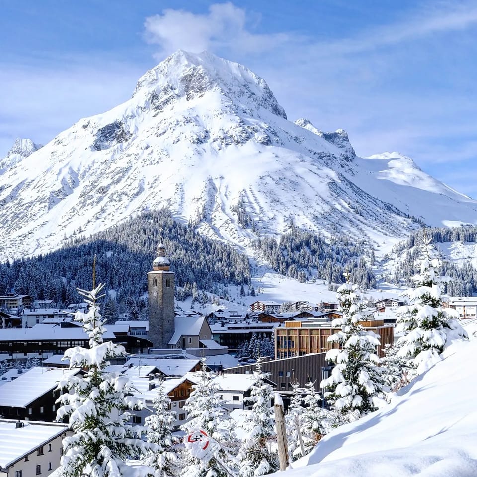
The weather story of the past week has been one of predominantly sunny and sometimes warm weather which has slowed snow-making efforts and rolled back snowlines from the October snowfalls. There’s been little fresh snow to report except for another accumulation in the Pyrenees and the western Alps at the end of last week. The next round of the Alpine Skiing World Cup, due to be staged in Lech-Zurs this weekend, has been postponed to the end of the month due to the warm weather.
The other story is concerning the virus. With most of the main ski nations approximately mid-way into their November lockdowns now, but with cases still rising, there’s some doubt that all will end the restrictions as scheduled at the end of this month. Switzerland decided in the end not to join its neighbours in a lockdown and instead, an 11th ski area, Crans Montana, opened for winter 20-21 there at the weekend. But in the Valais region it has tightened restrictions, closing bars and restaurants other than hotel restaurants or for delivery, with hotels staying open.
In Italy, the two ski areas that had stayed open to the general public joined Cervinia in closing; however, staying open to race teams from last Sunday.
AUSTRIA
AUSTRIA REPORT| Austrian ski areas remain in a lockdown, of course, There’s been mixed weather with some fresh snow on glaciers but generally warmer temperatures at lower elevations. This is being given by the International Ski Federation (FIS) as the reason why they’ve decided to postpone the next round of World Cup racing that was due to have taken place at Zurs this weekend (even with the lockdown). It’s now scheduled for the 30th, subject to conditions improving of course. The mid-November fixture was a change to the usual calendar of races for this year, decided upon before the virus was a thing, and will be the first in Lech Zurs for around 25 years. Although closed to the public, some Austrian glaciers have been hosting ski team training, which is permitted, with the Austrian team reported to be racing at Hintertux. This weekend was due to have seen Obertauern and Obergurgl opening for the season but that’s obviously delayed to the end of the month now.
AUSTRIA FORECAST| A largely sunny week ahead, temperatures hovering around freezing up above 2,000 metres, 5-10 degrees above in the valleys. Looking more changeable from the weekend with the chance of snow for some next Sunday/Monday.
SWITZERLAND
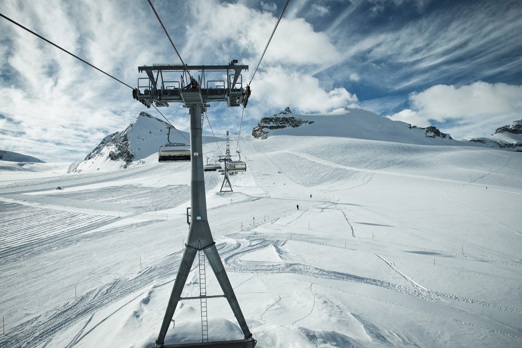
SWITZERLAND REPORT| Switzerland has taken a different path to the other ‘big 3’ Alpine ski nations and decided to keep its ski areas open for the time being. There are also more Swiss areas open than any other country, with a sizeable proportion opening earlier than they had planned thanks to the great snow conditions in October, with several big snowfalls.
The past week has been more challenging with some warmer weather, none-the-less 11 Swiss areas were open at the weekend with Crans Montana (60cm / 0/24″) the latest to open early for the season, on Saturday. This is as the Valais region closes bars and public restaurants although resorts are stressing hotels and hotel restaurants are open. Other ski areas have been reporting more terrain open as the main winter season draws near, Saas-Fee (0/210cm / 0/84″) has the most terrain open of any ski area on the planet at the moment with 40km (25 miles) of runs.
Zermatt (0/220cm / 0/88″) would have more than 50km (31 miles) of runs open, as it did a fortnight ago, when Cervinia, in Italy, had its terrain on the Italian side of the Matterhorn open. But that lasted for two days before the Italian lockdown began. The resort has opened its terrain park this weekend. Those two resorts remain open daily, Engelberg (0/120cm / 0/48”) and Glacier 3000 (0/30cm / 0/12”) are the other two, the remainder at weekends. Also open are Andermatt (0/180cm / 0/72”), Arosa-Lenzerheide (0/50cm / 0/20”), Davos (0/60cm / 0/24”), which has more terrain open this weekend, Laax (0/50cm / 0/20”) , the Diavolezza Glacier (25/80cm / 10/32”) near St Moritz and Verbier (0/30cm / 0/12”).
It’s also worth noting that Swiss areas are being very vocal about adhering to the pandemic ‘new normal’ rules and stressing that the main season happens depending on everyone playing their part. Andermatt has limited access to its Gemsstock slopes to about half the normal capacity and quickly hit that limit and sold out of tickets at the weekend as it had on its opening weekend the week before.
SWITZERLAND FORECAST| A dry and mostly sunny week ahead in Switzerland with temperatures not expected to climb much above freezing, if at all, above around 2,500 metres. Lower down it will be below freezing overnight but climb 5-10 degrees in to plus temps in the day.
FRANCE
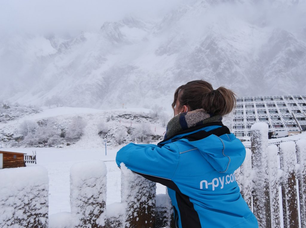
FRANCE REPORT| We’re entering the third week of the French lockdown so are nearly at the halfway point already. At this stage only Tignes was expected to be open anyway with Val Thorens having planned to open at the end of next week before the lockdown was a thing, that’s now been set back. The weather hasn’t been that conducive to snow sports either with the most fresh snowfall reported in the Pyrenees, down in the southwest, where there was another covering of the slopes in the latter part of last week. Most French ski areas continue to focus on opening in December, which for most is their normal opening date.
FRANCE FORECAST| A clear and sunny week ahead but with low temperatures up high. Colder than last week and rarely getting above freezing, even in the daytime, up on the glaciers; closer to five or ten degrees below overnight. Down at resort level, it’s warmer of course but cooler than it has been and here it’s down to freezing at lower levels too overnight.
ITALY
ITALY REPORT| Italy was the first Alpine ski nation to announce a limited-time lockdown, as it was with the full lockdown back in March, and the country is now halfway through its planned closure. The main change on a week ago is that the two open ski areas, which had resisted closing their slopes to the public, Val Senales (Schnalstal) and Sulden (allowed to take a different route to the national rules due to their semi-autonomous regional government), decided to fall into line on Sunday and like the third open Italian area, Cervinia, are now only open to professional race teams for training purposes. Like much of the rest of Europe, it was mostly sunny and rather warm in much of Italy in the first week of November, but whilst the sun is still shining for most it is now getting cooler.
ITALY FORECAST| More sunshine is forecast on Italian mountains for the coming week but it is forecast to be cold, staying sub-zero above around 2,000 metres altitude and not getting that much warmer down in the valleys, where overnight temperature should also be below freezing.
GERMANY
GERMANY REPORT| Germany is in the middle of its November lockdown so nowhere is open there as yet. In fact, nowhere would be open anyway even without the lockdown. Although there had been an expectation that the country’s highest slopes on the Zugspitze might open by mid-November, that’s now 1st December. It’s been largely sunny there this past week but remaining cool up on the glacier.
GERMANY FORECAST| A largely sunny week ahead with temperatures around freezing above 3000m, nearer five degrees above at 2000, warmer of course in the valleys.
SCANDINAVIA
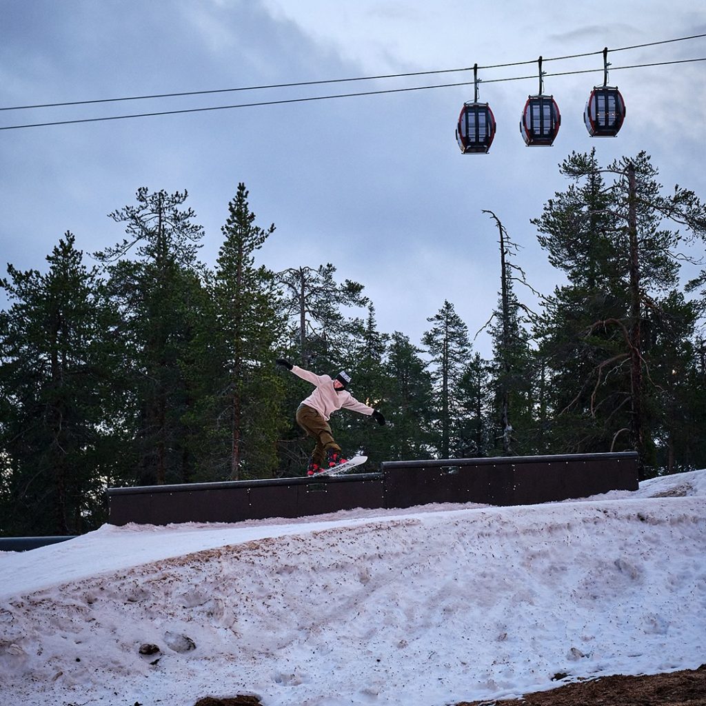
SCANDINAVIA REPORT| Scandinavia has had a rather warm week and some Norwegian ski areas, which might have expected to be open by now like Beitostolen and Kvitfjell, are so far delaying, although hoping they will be able to ‘any day’. Up in Lapland, Ruka and Levi remain open, the latter preparing to host World Cup racing next week. In Sweden, Idre Fjall (10/50cm, / 4/20”) and Kåbdalis (0/50cm / 0/20”) are open.
SCANDINAVIA FORECAST| Mostly overcast and mostly subzero for the week ahead in Scandinavia. Some precipitation is expected at the weekend but, unfortunately, also rising temperatures so it may fall as rain, not snow.
SCOTLAND
SCOTLAND REPORT| Scottish ski areas saw their snowiest day of the autumn so far last Thursday when cold weather and precipitation met bringing snow cover to quite low levels. Temperatures rose over the weekend, however, and the snow was too minimal to survive on lower slopes. This is a typical Scottish autumn weather pattern whilst we await a period of consistently cold snowy weather.
SCOTLAND FORECAST| Cold nights and some colder days in the forecast over the week ahead with drier conditions than there have been recently. Some rain/sleet/snow showers are possible.
SPAIN / ANDORRA
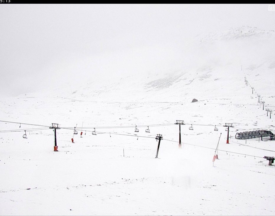
SPAIN / ANDORRA REPORT| The Pyrenees saw some of the biggest snow showers in Europe of the past week with ski areas from Spain through Andorra to the French Pyrenees reporting another 5-15cm (2-6 inches) of fresh snowfall at the end of last week, continuing the snowy autumn theme. Things have been drier since. It’s a fortnight now until the first resorts in the region are expected to open.
SPAIN / ANDORRA FORECAST| More fairly dry weather in the forecast over the week ahead with temperatures around freezing at the tops of the slopes though climbing a few degrees above in the afternoons, up to 10 degrees above down at resort level. No precipitation in the 7-day forecast.
BULGARIA / ROMANIA REPORT
BULGARIA / ROMANIA REPORT| It has stayed mostly sunny in southwestern Europe over the past seven days although temperatures have been getting down to freezing on the mountain tops overnight. Ski areas are expected to open in two to three weeks’ time in the region, but more consistent cold weather is needed for those target dates to be met.
BULGARIA / ROMANIA FORECAST| Not much change in the forecast with more sunshine for the week ahead too. Temperatures are sticking at or below freezing on higher slopes though, a promising sign, 5-10 degrees above down in resort.
CZECH REPUBLIC / SLOVAKIA
CZECH REPUBLIC / SLOVAKIA REPORT| It’s been a largely clear and sunny week in the mountains of northeastern Europe with little snow to be seen, even on the summits. Ski areas in the region will be looking for a temperature drop and snowier weather arriving in the next month in order to be able to open for the main season.
CZECH REPUBLIC / SLOVAKIA FORECAST|The forecast at present for the Tatras and other mountains in the Czech and Slovak republics is for more dry, sunny weather. Temperatures are dropping closer to freezing, particularly on higher slopes and particularly later in the week, which could allow those that want to, to fire up the snow-making guns again.
NORTH AMERICA
NORTH AMERICA INTRO| Following a recent warm, dry spell that set back planned early openings things have got back on track in much of North America over the past few days, with snowy weather moving into the west of the continent and bringing some of the first significant accumulations along west coast mountains where the ski season is expected to start imminently.
There’s also been a return to snowier conditions in the Rockies where a second resort has now opened with more lined up to follow. North of the border two more areas have opened in Alberta where four centres have now begun their 20-21 seasons. More problematic is the persistent warmth in the midwest and east but temperatures are now dropping and snow is forecast here too by the weekend.
ROCKIES
ROCKIES REPORT| After a warm week, which saw Winter Park announce a two-week delay in its planned opening date from mid to late November, things started to pick up in Colorado from Friday onwards when Keystone (0/15″ / 0/37cm) became the second resort in the state to open, joining Wolf Creek (18/21″ / 45/51cm). This area had opened in late October.
Arapahoe Basin and Loveland were still delaying their opening, the latter saying it needed a few more days. Breckenridge is set to open next weekend, however. Things began to improve further from the weekend as a big snowfall began as forecast, dramatically transforming conditions from summer to winter. Several areas reported more than 10 inches (25cm) of snow accumulated by the start of this week. The third ski area that had opened in the region, Great Divide up in Montana, didn’t open last weekend as it said the warm weather had impacted its snow cover too much. It is hoping to open next weekend following fresh snowfall there and cold weather for snow-making.
ROCKIES FORECAST| Sunny for the rest of this week but this time staying cold in the Rockies, with most areas staying below freezing from top to bottom. Indeed, upper mountains may get as low as 15 to 20 degrees below freezing at times. More snowfall looks likely towards the end of the weekend.
USA WEST
USA WEST REPORT| A lot of excitement in the western US over the past week with a cold front moving in at the start of the weekend bringing the first significant snowfalls down to resort level in places. Mammoth Mountain hopes to open at the weekend and things are certainly looking a lot more promising for that than they did a week ago.
Mountain High may open even sooner, targeting this Thursday 12th if conditions are good enough. Several ski areas in California reported a foot (30cm) or more of snowfall on higher slopes by Monday. Timberline, up in Oregon, is another which eyes are on as a possible early opener given its ability to open pretty much year-round. But it is resisting, saying the snow isn’t quite enough and the priority is virus safety when it does open.
USA WEST FORECAST| After the snowfall to start the week it’s looking sunny for the remainder but temperatures should remain cooler for the rest of this week, staying in single figures above freezing even at the base of the slopes. Upper mountain areas and indeed higher bases should stay sub-zero. More snowfall looks like it is on the way towards the end of next weekend.
USA MIDWEST REPORT
MIDWEST REPORT| Ski areas in the midwest have seen warmer temperatures this past week and of the two areas open a week ago, Wisconsin’s Trollhaugen (12/18″ / 30/45cm) has been closed midweek in the period since then as it endeavoured to preserve its snowpack against the rising temperatures. They did open last weekend but the forecast cold weather didn’t arrive as soon as hoped and conditions were described as “springlike shedding”. In fact, temperatures have been very warm indeed after the record lows last month, getting as high as 20 degrees above freezing which is very bad news for the snow. Wild Mountain (12/18″ / 30/45cm) in Minnesota, which claimed the first in North America to open for the season three weeks ago, has managed to keep operating through the warmth and rain though, maintaining a terrain park.
MIDWEST FORECAST| The very warm spell is still forecast to end and temperatures to drop rapidly in the latter half of this week, potentially getting down to freezing Wednesday/Thursday and then staying sub-zero into the weekend on the ski slopes. It’s looking dry over the next few days but there’s a chance of some light snowfall on Saturday and of course, it should be cold enough for snow-making systems to fire up.
USA EAST
USA EAST REPORT| Ski areas in the northeast are edging closer to starting their 20-21 seasons with several potentially opening this coming weekend; however, it has been dry and not especially cold in recent days so this is yet to be confirmed. The candidates include Wildcat and Loon in New Hampshire, Killington in Vermont and Sugarloaf and Sunday River in Maine, among others.
USA EAST FORECAST| It looks like it will continue to be mostly dry in the northeast although there is expected to be some precipitation on Wednesday. It looks more likely to be rain than snow though. As the week goes on overnight temperatures will be dropping well below freezing; good news for snow-making.
CANADA
CANADA WEST
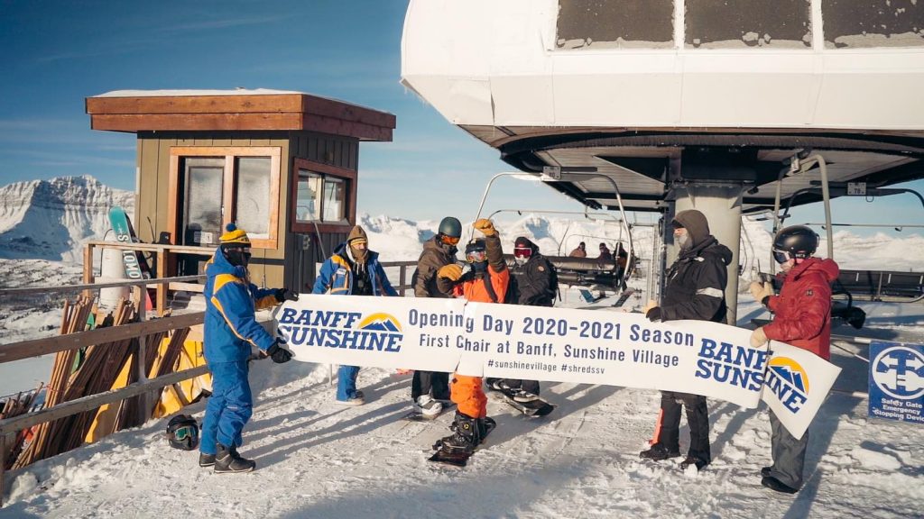
CANADA WEST REPORT| Three more ski areas have opened in western Canada although one, Panorama (the first to open its slopes in BC) is initially only open to race team training, opening to the general public on December 11th. But the third Banff ski area, Sunshine, has opened to all, starting the lifts running on Monday. Nakiska, the closest ski area to Alberta’s capital Calgary has also opened, a week later than planned. They join the three areas that had already opened, Banff’s Norquay, Lake Louise and Mont Saint Sauveur in Quebec, which ran its first-night skiing sessions last weekend.
In terms of conditions, it had been a little warm which is in common with most of western North America. This has caused some issues but cold weather and fresh snowfall arrived at the weekend. Marmot Basin is planning to open this coming weekend.
CANADA WEST FORECAST| Staying cold in western Canada with a mixture of sunny and snowy days. On the slopes it’s looking very cold, as low as 15 below freezing at times and rarely getting above freezing, if it does at all, even at resort bases. Saturday looks like it should be sunny for many before the sunshine returns on Sunday.
CANADA EAST
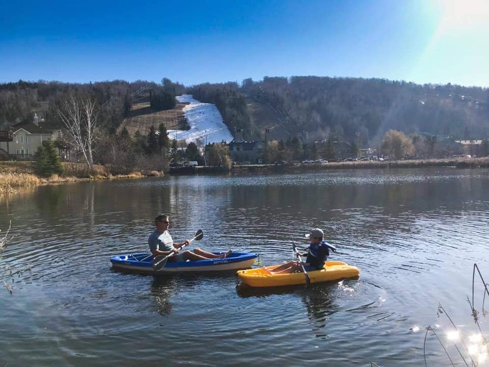
CANADA EAST REPORT| Mont Saint Sauveur (0/20cm / 0/8”) in Quebec continues to maintain a ribbon of white snow on a sheltered hillside which it opens from Wednesday to Sunday each week. It’s maintained it through some unseasonably warm weather in the last week which saw temperatures get as high as 15 degrees above freezing in the afternoon. This has melted a lot of the earlier snow cover from others lopes in the east of Canada for now.
CANADA EAST FORECAST| It’s looking like temperature will fall away in the latter half of this week after possibly wet rather than snowy weather on Wednesday. A sunny end to the week but with temperatures not getting above freezing by the weekend. There’s the hope of snowfall on Sunday.
ASIA
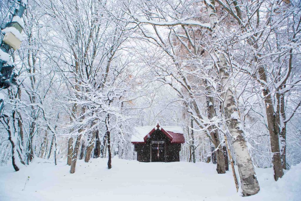
JAPAN REPORT| More Japanese ski areas have opened using machine-made snow to create one or two runs. More excitingly though the snowfall has arrived in Hokkaido, with heavy snowfall down to resort in Niseko to start this week, something which didn’t happen much at all a year ago as one of the warmest winters in Japanese ski history unfolded. This week has started with temperatures rarely above freezing and a multi-day snowstorm. Hopefully, the snow will keep falling now as ski areas get ready for their main season start, for many just a few weeks away now.
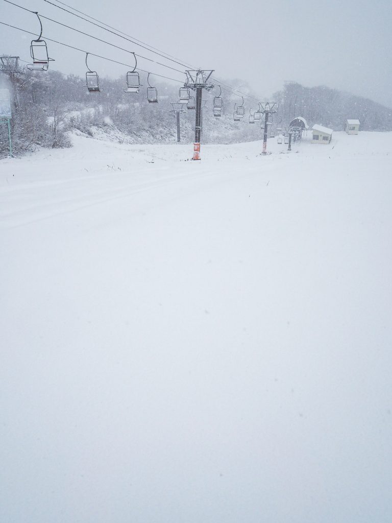
JAPAN FORECAST| After the snowfall to start the week it is, unfortunately, looking drier and warmer over the coming week. Although the outlook isn’t especially warm so hopefully there won’t be much damage to the freshly fallen snows on higher slopes. More precipitation, expected midweek, could be rain in resort and possibly snow up high.

