WORLD SNOW ROUNDUP #143

Issued: 10 June 2020
By Patrick “Snowhunter” Thorne
North American Roundup
European Roundup
Asia Roundup
SOUTHERN HEMISPHERE OVERVIEW
Excitement is definitely mounting in the Southern Hemisphere with the 2020 ski season now just days away for New Zealand and actually already underway at one small ski area, Afriski in Lesotho. There’s been a slight delay due to the virus with ski areas opening a week or two later than they would have done without this serious problem.
There has been the usual jockeying for position. Afriski had originally set a June 4th opening date before the pandemic became an issue, but then said they’d open a fortnight later, on the 18th. New Zealand’s Mt Hutt, originally targeting the 5th of June before the pandemic, then looked like it would be the first planning a revised date of this Friday 12th June.
The first Aussie areas (which had originally aimed for June 6th before the pandemic) are due to open ten days later. But Afriski pulled a surprise, despite its borders being closed and no fresh snowfall for a few weeks, by opening a small area of machine-made snow for local Lesotho skiers and boarders on Friday 5th. Mt Hutt is probably celebrating the arrival of cold weather and fresh snow in New Zealand for what should be the perfect start to the season on Friday. Especially as the country has moved to Level 1 on the pandemic alert scale which means social distancing will no longer be required. At the time of writing, they’d had no new cases of the coronavirus for more than a fortnight. The area has been the main Southern Hemisphere ski area to report fresh snow in the past week (along with glacier ski areas in the European Alps and high slopes in northwest North America); however, ski areas in the Andes (where it remains unknown when centres will be able to open this season) have also had fresh snow.
AUSTRALIA
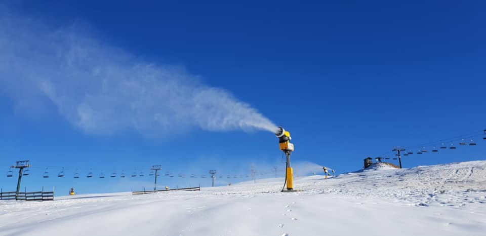
AUSTRALIA REPORT| It’s been a fairly quiet week on Aussie slopes with high pressure dominant in recent days and mostly clear skies. Although this means no snowfall it has also allowed overnight temperatures to drop away allowing resorts to fire up snow-making systems. The delayed start to the season is less than a fortnight away now and all areas are focussed on the logistics of operating in the pandemic.
AUSTRALIA FORECAST| After what looks to be a dry rest-of-the-week, conditions should get more changeable in the Australian mountains towards the weekend with first rain but then hopefully snow, rolling in around Friday/Saturday. Light to moderate accumulations of 5-15cm (2-6 inches) are expected through next weekend and then it will only be a little over a week to the delayed start of the season.
NEW ZEALAND
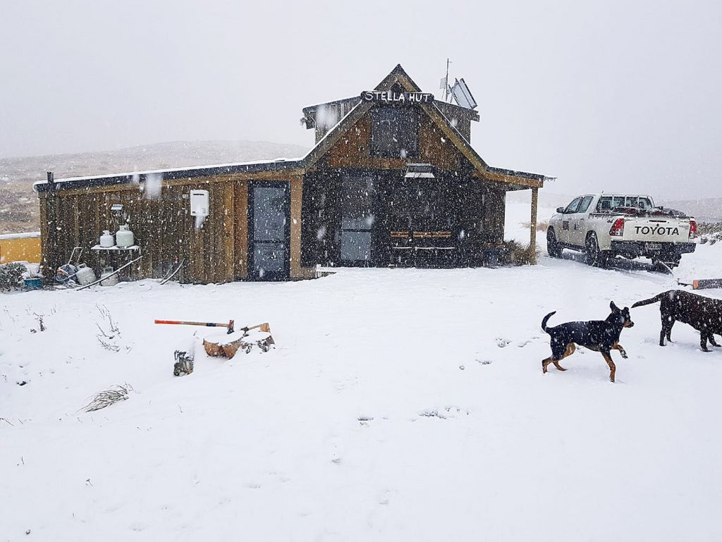
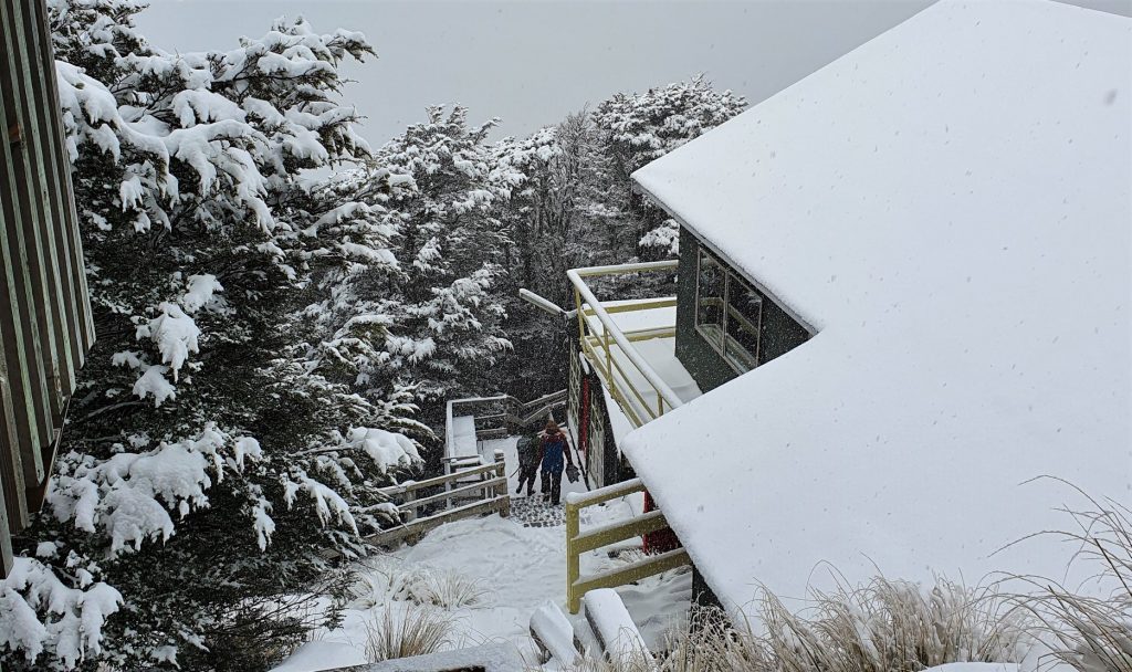
NEW ZEALAND REPORT| As mentioned in our introduction,New Zealand looks like it will see the first full-scale resort opening in the Southern Hemisphere for winter 2020. This is great news considering a few months back it wasn’t clear whether the Southern Hemisphere would have a 2020 season, and it’s only running 1-2 weeks behind the planned opening dates. In even better news the country moved to Level 1 pandemic procedures which means social distancing is no longer required, so the season can be almost normal now. The exception being no international skiers as borders remain closed. Continuing the good news, there’s also been a fresh snowfall, which started falling last Thursday and got heavier at the weekend, with some areas reporting up to 23cm (nine inches) of snowfall in just three hours on Saturday morning. Mt Lyford reported 25cm (10 inches) in the weekend snowstorm. The snowfall has now cleared but it’s staying very cold so it’s currently looking very good for Mt Hutt from Friday.
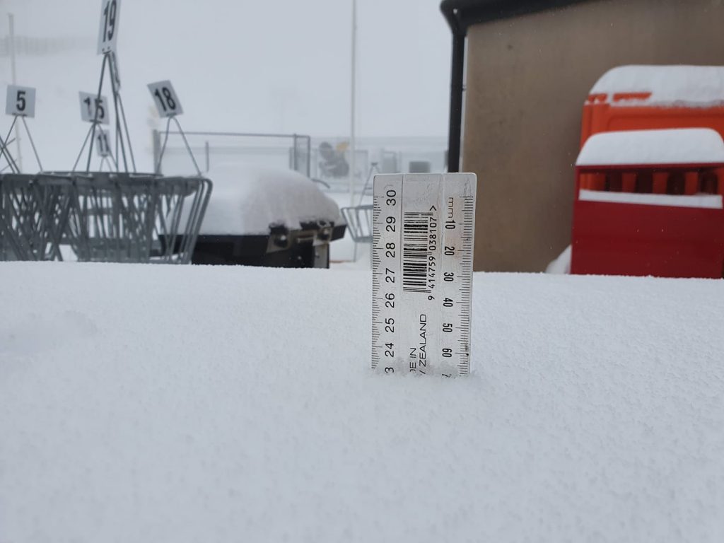
NEW ZEALAND FORECAST| It should stay cold and sunny in the run-up to the season-opening day in New Zealand at Mt Hutt on Friday. Full sun, clear nights, heavy frosts and well-below-zero temps will be perfect snow-making conditions.There are signs that there could be fresh snow falling by the end of the week though as another front moves in expecting to bring 5-10cm (2-4 inches) of snow.
ARGENTINA
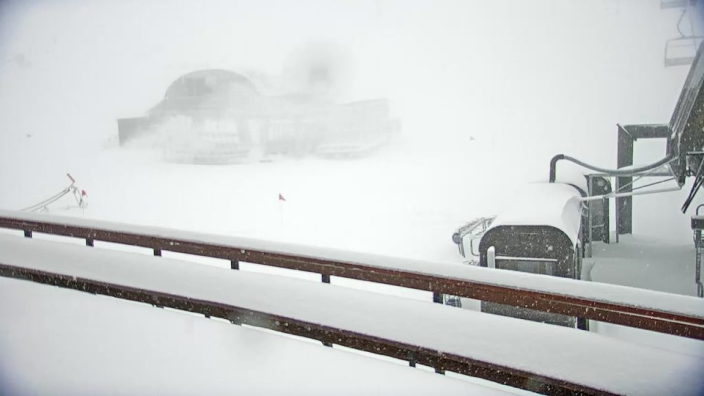
ARGENTINA REPORT| It has been cold in Argentina with temperatures below freezing most of the time at most of the country’s ski areas day and night. Most have reported occasional light to moderate snowfalls over the past week and generally, things are getting whiter. Due to the coronavirus pandemic, however, it is as yet unclear when ski areas will be able to open in Argentina this winter.
ARGENTINA FORECAST|The forecast is for temperatures to remain subzero and for mostly clear skies, although with cloud cover and more light-to-moderate snowfalls later in the week. Thursday-Friday looks promising for a 5-10cm (2-4 inch) snowfall.
CHILE
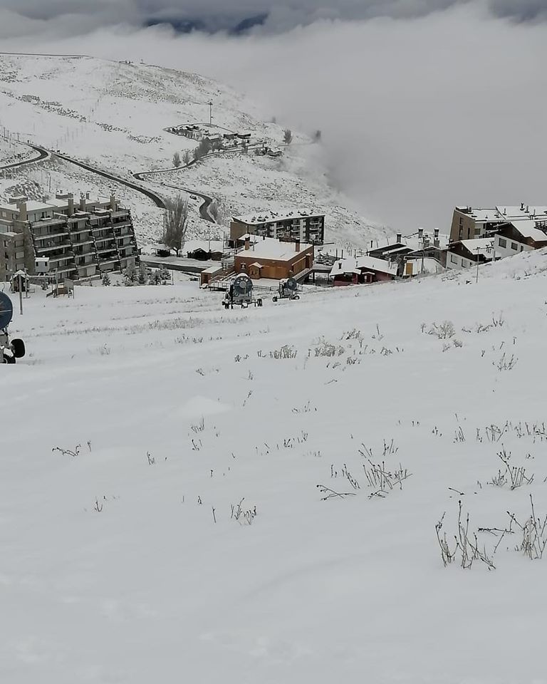
CHILE REPORT| More fresh snowfall was reported last week on ski slopes in the Chilean Andes, nothing huge but enough to keep the slopes white and most of it is still lying as temperatures have stayed low. As of yet, like Argentina, there’s no clear sign as to when pandemic restrictions might be eased enough for ski areas to consider opening.
CHILE FORECAST| The weather in most of the Chilean Andes should remain cold and typically wintery for early June with some light-to-moderate snowfalls in the forecast in between clear, sunny, cold days.
SOUTHERN AFRICA

SOUTHERN AFRICA REPORT| The snow-making guns have continued to fire at Tiffindell ski area, in South Africa, and Afriski, in Lesotho, as whilst skies have remained clear and sunny, temperatures have been low enough at times to make snow. Afriski pulled a surprise on Friday when it announced it was opening to local skiers (external borders to South Africa remain closed) nearly a fortnight earlier than the June 8th date it had most recently announced for opening, making it the first area in the Southern Hemisphere to open for 2020, even if we’re only talking a few hundred metres of machine-made snow at this point.
SOUTHERN AFRICA FORECAST| There’s still no real change in the southern African forecast of wall to wall sunshine in the daytime, clear skies at night and temperatures hovering around zero. This will mean marginal snow-making conditions and no real chance of natural snowfall on the immediate horizon.
NORTH AMERICA
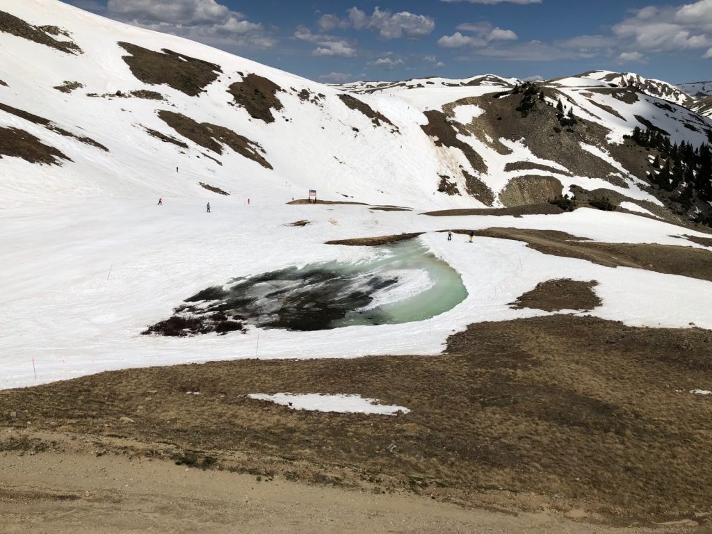
NORTH AMERICA REPORT| There were a few surprises this week for North America’s slightly recovering ski season. Firstly, fresh June snowfall at the weekend in the northwest of the continent, but then the news that two of the four areas that had re-opened over the past week or two were closing for the season for a second time, rather faster than expected.
Crystal Mountain, in Washington state, had said it would re-open for just two weeks when it announced its re-opening just over a week ago on June 1st . But, in the event, it only lasted a week, to Sunday 7th, unexpectedly announcing the early closure just as a rare June snowstorm was due to deposit fresh snow on its slopes.
Arapahoe Basin has had a more challenging month with some warm weather and little fresh snow after decent falls earlier in the spring. With it only finally being allowed to re-open at the end of May and the slopes being so popular it had to organise a lottery system to give skiers the chance to win the opportunity to buy a lift pass, it was hoped it would make it later into summer this year; however, in the event, it too announced a Sunday closure.
So that leaves us with two North American areas open, Beartooth Basin summer ski area, in Wyoming (157/175cm / 63/70”), and Timberline Lodge, on Mt Hood in Oregon (196/196cm / 79/79”), both of which were in line for the fresh snowfall at the weekend.
A third surprise was that Beartooth Basin was closed on Sunday after that June snowfall blocked the highway which accesses it from Montana; it re-opened on Monday.
In terms of other ski areas that occasionally open in June or July in Canada and the US, Whistler Blackcomb has upset some locals by announcing it won’t be opening its glacier ski area this month as many had hoped they would, essentially saying it was a layer of complication too many in their summer reopening plans. Other ski areas in California that sometimes open through to US Independence Day in July are still considering whether they might re-open for a short period.
NORTH AMERICA FORECAST|After the sub-zero temperatures and sometimes snowy weather in the northwest over the past few days things will warm up fast through the latter half of this week. We’ll see daytime temperatures back to double-digits above freezing by Thursday and it stays above freezing, just, overnight on the mountain too. But there are signs this warm spell will be short-lived and the possibility exists that precipitation forecast from late Friday and through the weekend may again fall as more June snow up high.
INTRODUCTION EUROPE
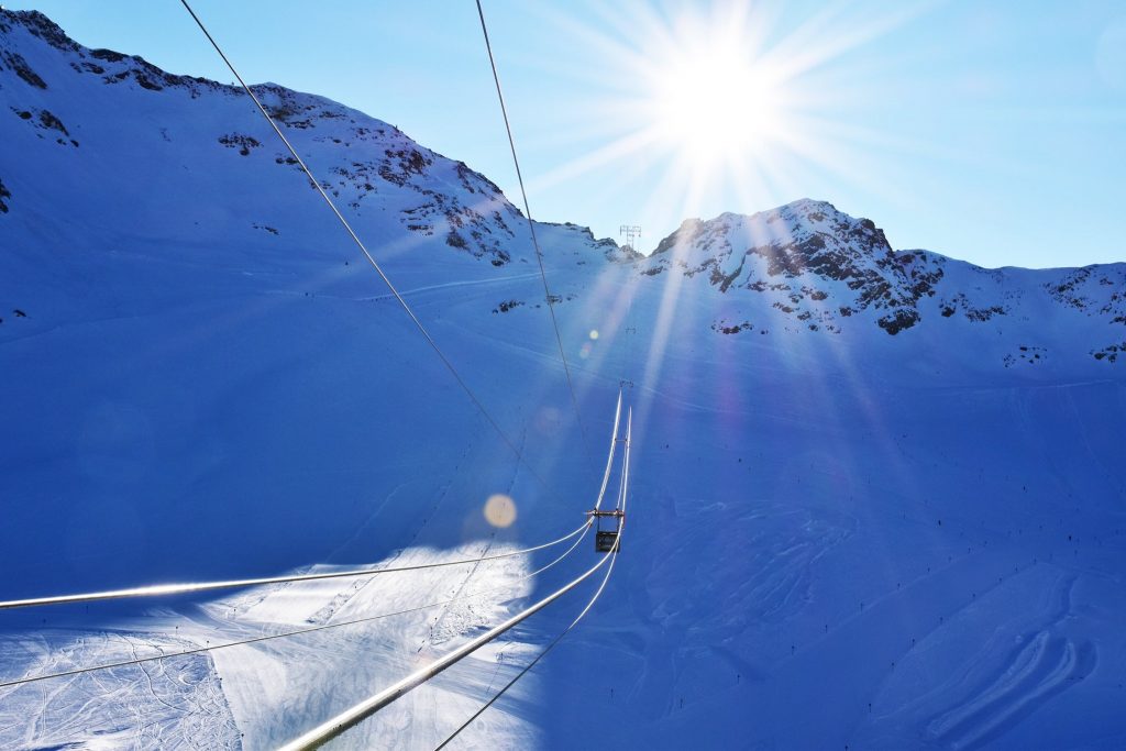
We’ve had some snowy weather up on Europe’s glaciers over the weekend with some fresh June summer snow reported up high just as more centres open for 2020 summer skiing. After rather warm and wet weather in Scandinavia, the still-open Norwegian glaciers also got snow at the weekend, as much as 34cm (14 inches) in fact.
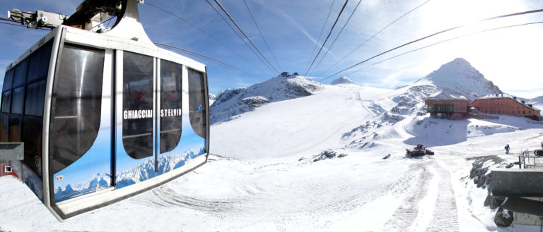
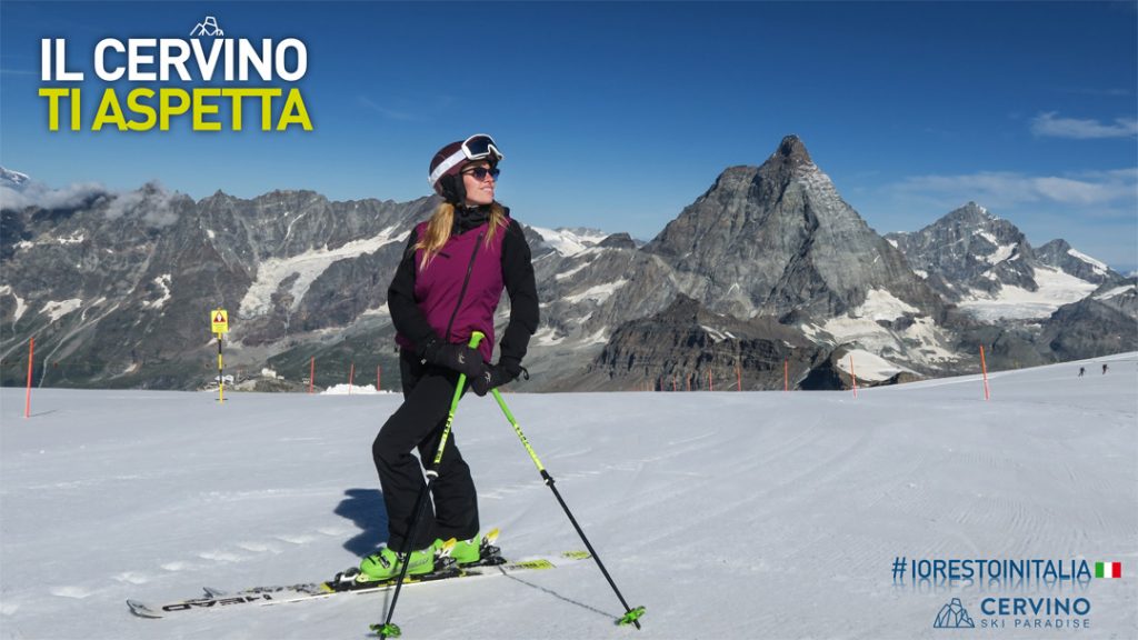
The picture, in terms of open ski areas in Europe, has continued to improve after we dropped to an all-time low for the number of areas open a fortnight ago with just two areas open in Norway for the whole continent. Thankfully we’re now back into double figures with those two Norwegian areas joined by three in Austria, two in France and two in Switzerland as well as Passo Stelvio in Italy, although that’s currently only open to race teams. Passo Stelvio said it would open its slopes to Italian skiers on June 13th (this Saturday) and Cervinia announced it will open for summer skiing in just over a week on June 20th, meaning lift-served skiing will return to the country for the first time in more than three months.
Travel restrictions between countries in the EU, as well as with Switzerland, are being rapidly eased too making getting across borders much easier for those living in the area, whilst pandemic spread prevention measures remain in place.
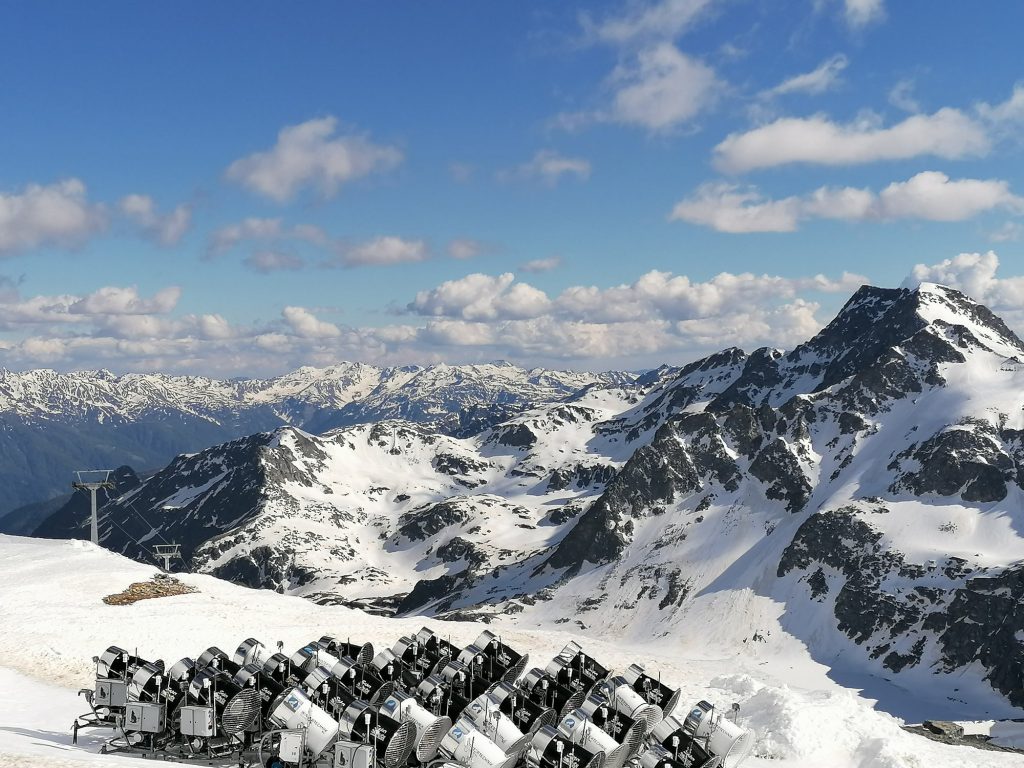
ALPS
ALPS REPORT| It was a snowy weekend up high in the Alps and there were some complaints as resorts re-opened at the weekend after three months’ closure. Visibility was down to a few feet/metres with low cloud cover, although the fresh snow was welcome of course.
In Austria, the number of areas open got up to four over the weekend with the Molltal (350/350cm / 140/140”) one of five glaciers in the Alps opening for the first time this summer on Saturday. However, the Kaunertal (145/145cm / 59/59”) ended its short re-opening on Sunday, so we’re back to the three Austrian areas open now, just a slightly different three to a week ago. Hintertux (315/315cm / 126/126”) and Kitzsteinhorn (295/295cm / 118/118”) are the other two still open. The Molltal and Hintertux will both be open through to spring 2021 now.
For France, the glacier areas which opened on Saturday were Les 2 Alpes and Val d’Isere. Both are primarily opening for French ski team training, Les 2 Alpes initially only for the team, Val d’Isere also with some runs open to the general public. Les 2 Alpes will open to all from June 27th, Val d’Isere has an initial limit of 500 on the slopes. Tignes will open the weekend after next, on the 20h.
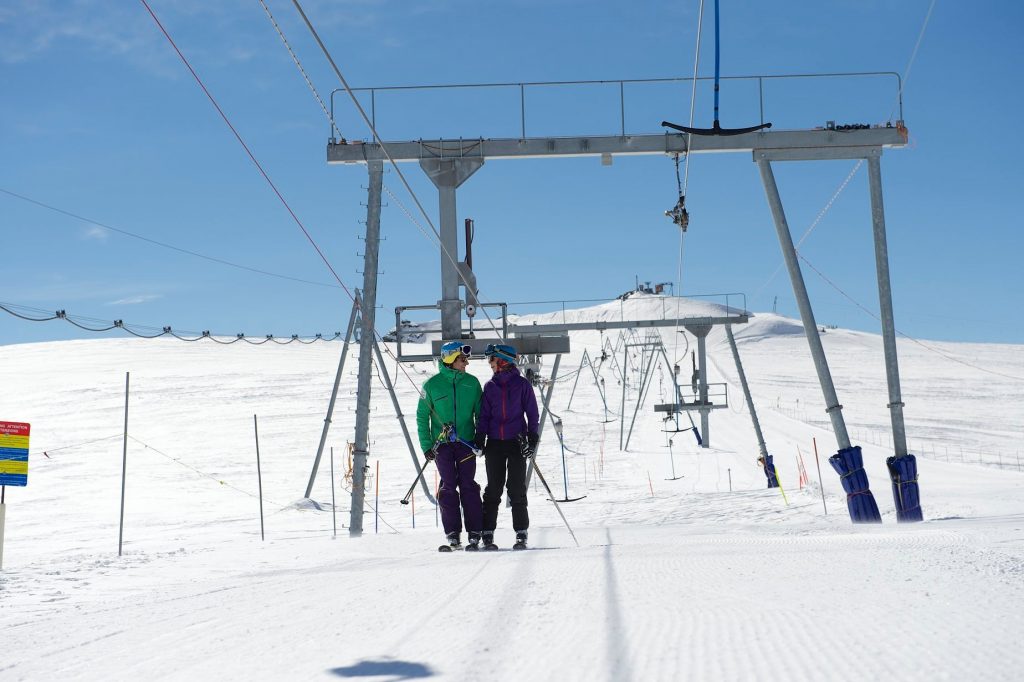
Switzerland’s Crans Montana and Zermatt (220/220cm / 88/88”) also re-opened their glacier ski areas on Saturday. Crans Montana just for a week or so but Zermatt will resume year-round operations after a three-month break. Switzerland, unlike most other countries, has set no limit on the numbers of people on the slopes, although all the other social-distancing rules apply.In Italy, Passo Stelvio has opened to ski racers for training and will now open to the public from this Saturday, June 13th, more than a fortnight earlier than expected. This is due to easing government restrictions. A second summer ski area above Cervinia, but largely on the Swiss side of the border, has announced they will open from June 20th, the first Italian area to open to the general-skiing-public in Italy for more than three months.
ALPS FORECAST|The snow up high that has been an occasional feature through the past three or four days (rain in the valley) should diminish over the rest of this week with skies clearing and temperatures warming. There will be more precipitation at the weekend probably though, with a fine balance between whether it falls as rain or snow.
SCANDANAVIA
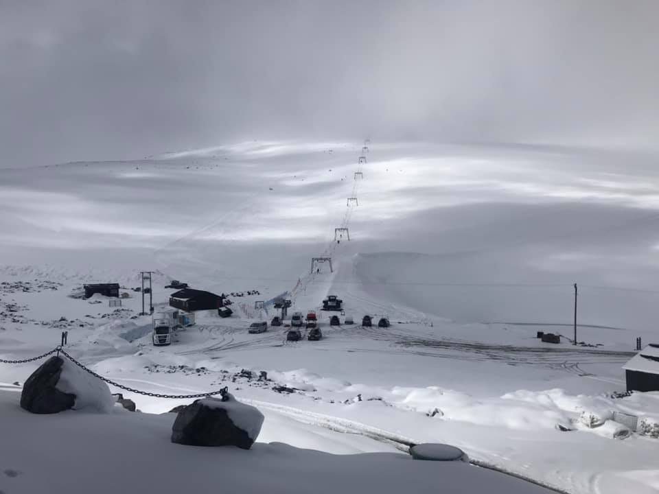
SCANDINAVIA REPORT| We’re down to two of Norway’s three glacier areas open at present, the Fonna and Galdhopiggen glaciers. Conditions haven’t been ideal in recent days with temperatures hovering a few degrees above freezing and precipitation trending towards rain rather than snow at times. That said it was cold enough for snow on Scandinavia’s highest peak, Galdhopiggen, and another 34cm (14 inches) of snowfall was reported over the weekend meaning nice conditions to start this week when the cloud cleared. The country’s third glacier ski area, Stryn, which was originally due to open at the start of the month, then this past weekend, is now hoping to do so around the 12th. The wait has been mainly for crews to dig out the access road to the centre, delayed by heavy mid-May snowfall. Sweden’s Riksgransen is due to re-open for a few days of midsummer skiing and boarding, including under the midnight sun, in the latter half of next week.
SCANDINAVIA FORECAST|Not the best of conditions in the forecast for Norway’s glaciers but not the worst either. Essentially, things should stay dry but temperatures will climb to double digits above freezing and be quite warm overnight, so some thawing is likely, although with the huge snowpack that’s not likely to be much of an issue. Best snow conditions are likely to be first thing in the day though.
ASIA
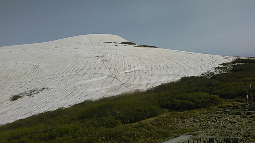
JAPAN REPORT|We’re now at that time of year when it is warm and humid for much of Japan and only the Gassan summer ski area (480/480cm / 192/192″) is open. Even here, temperatures have been well into double-figures above freezing so the snowpack, that was at nine metres (30 feet) when the centre opened for its season two months ago, continues to thaw and the snow depth is now down to about half that. But conditions have been fairly pleasant in recent days with blue skies and light winds, although the centre’s operators warn of rocks and trees coming through the thawing snow if you head off the marked area.
JAPAN FORECAST|Temperatures will remain between 10 and 20 degrees above freezing for the next few days so more thawing and the best conditions will be early in the day.

