Southern Hemisphere Weekly Roundup #251
(Updated 24 July 2024) A comprehensive review of snow conditions, weather, and updates for the Southern Hemisphere's winter sports destinations.
Full Slopes in New Zealand as Mt Dobson Opens All Terrain
- Australia's ski season surged with significant snowfall and most terrain now open across major resorts.
- New Zealand's ski conditions are mostly stable with Mt Dobson achieving full slope openings, despite weather challenges.
- Argentina's Cerro Castor continues to see frequent snowfall, while Chapelco boasts the deepest snow globally.
WORLD OVERVIEW
The significant snowfalls in Australia over the last week dominate the snow news worldwide this week. With some centres seeing nearly a metre of snowfall from two successive Antarctic fronts, conditions have greatly improved after a poor first half of the season in terms of snowfall. In contrast, South America, which experienced substantial snowfalls before the season officially began a month ago, has had another cold but mostly dry and sunny week. Australia stands out this week for snowfall, with mostly dry weather in the Andes and not much new snowfall to report in South America. However, resorts there continue to post the world's deepest snow depths and the most terrain open, thanks to their substantial pre-season accumulations over the latter half of autumn. In the Northern Hemisphere, the number of open areas has hit its lowest of the season, with just seven resorts open across Europe and North America. However, there are more than 100 indoor options. This number is down one from a week ago, with Tignes, the last French area open for summer skiing, ending its 2024 operations. Centres remain open in Austria, Italy, Switzerland, and Norway, with just one option in the US/North America: Timberline in Oregon.
SOUTHERN HEMISPHERE
AUSTRALIA REPORT
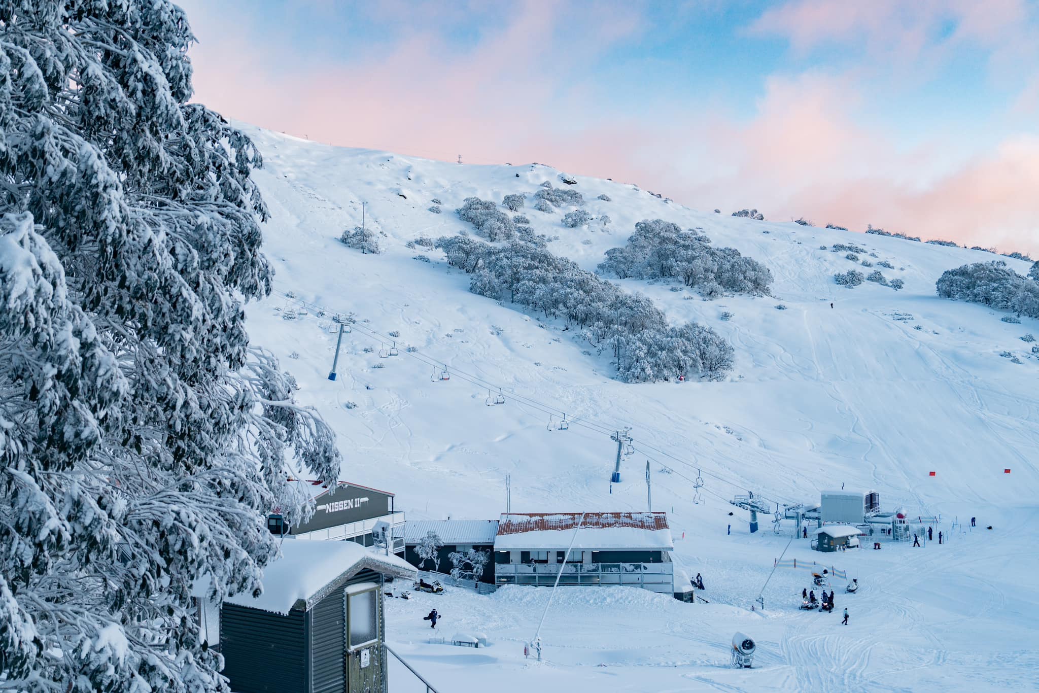
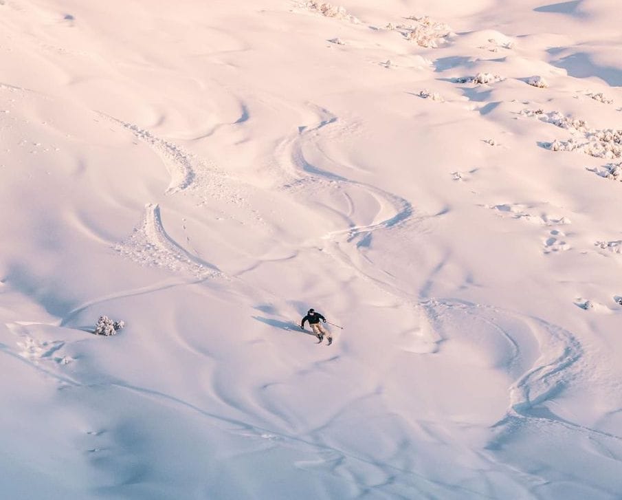
Australia’s season finally got into top gear over the weekend as the biggest storm of the season so far moved up from the Antarctic, dumping about half a meter (20") of snowfall on the country's slopes, on top of 20-30cm (8-12") accumulations a few days earlier. The storm brought wild, windy conditions, but by the end of the weekend, things had calmed down, allowing skiers and boarders to enjoy the fresh snowfall. Resorts finally opened more terrain than that maintained by snowmaking. "The blizzard conditions have completely covered Falls Creek in snow, so this place has turned into that ski-in-ski-out that we all love," says Bodine, Falls Creek Guest Services Outdoor Supervisor. "It's been freezing cold in resort with a maximum of -1 (degrees) so that means powder laps are on!" At Perisher, which had the highest percentage of its terrain open and the most terrain, more runs have been opening up thanks to the fresh snowfall. Perisher (48/78cm / 19/31”) had already managed to open at least one run in each of its four sectors before the storm hit but on Saturday began to interconnect them with open terrain for the first time, with Perisher and Smiggin Holes interlinked with the Piper and Link T-Bars making their season debut. Now, it is 90% open with 44 of its 46 lifts spinning. Falls Creek (50/92cm / 20/37”) has slightly deeper snow and is also 90% open, so things are starting to feel more ‘normal’ at last. Healthy snowfall was reported right across Australia’s ski slopes, including down at Ben Lomond in Tasmania, which reported a 15cm (6”) accumulation on Saturday as snow continued to fall.
AUSTRALIA FORECAST
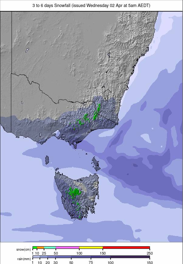
Cool, cloudy, with sunny spells and less snowfall expected for the remainder of the week. However, more snowfall is anticipated going into the weekend. Temperatures will mostly range from -5 to +5°C.
NEW ZEALAND REPORT
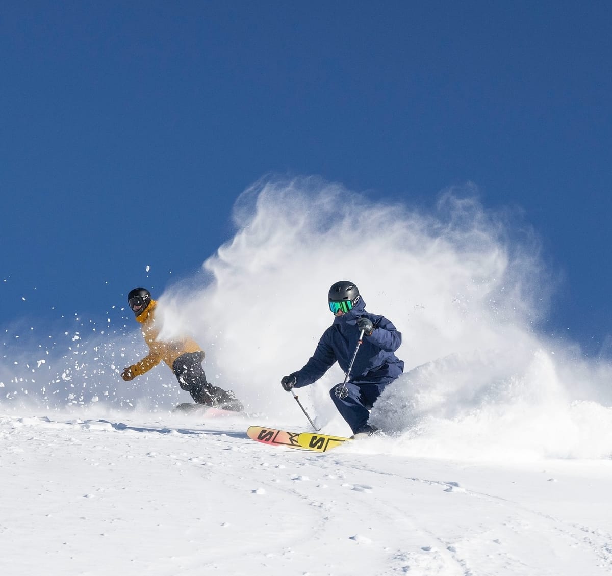
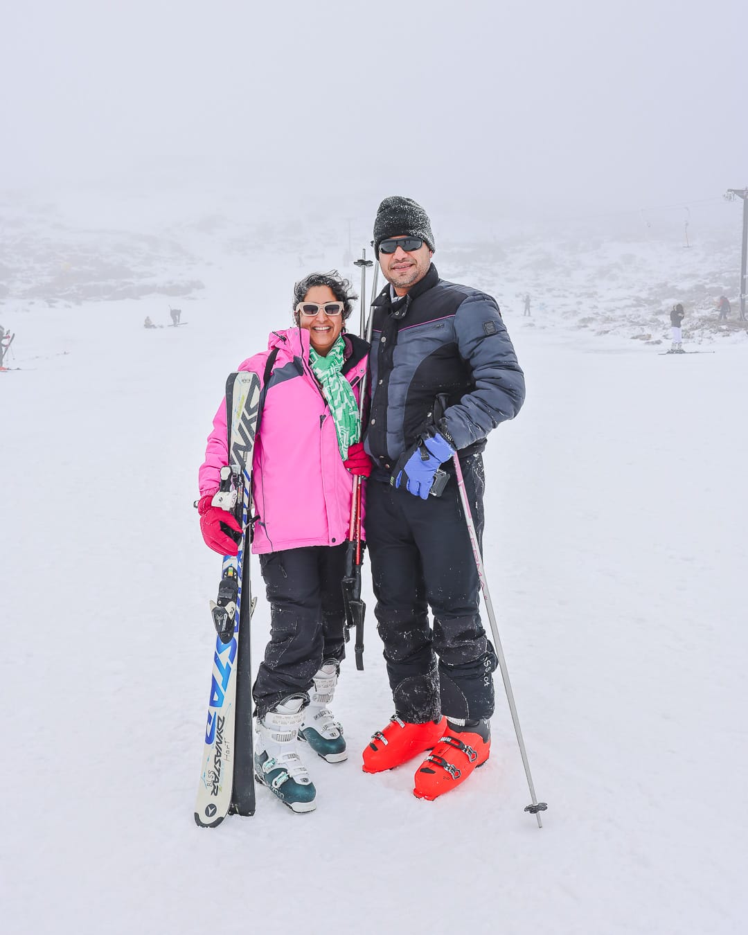
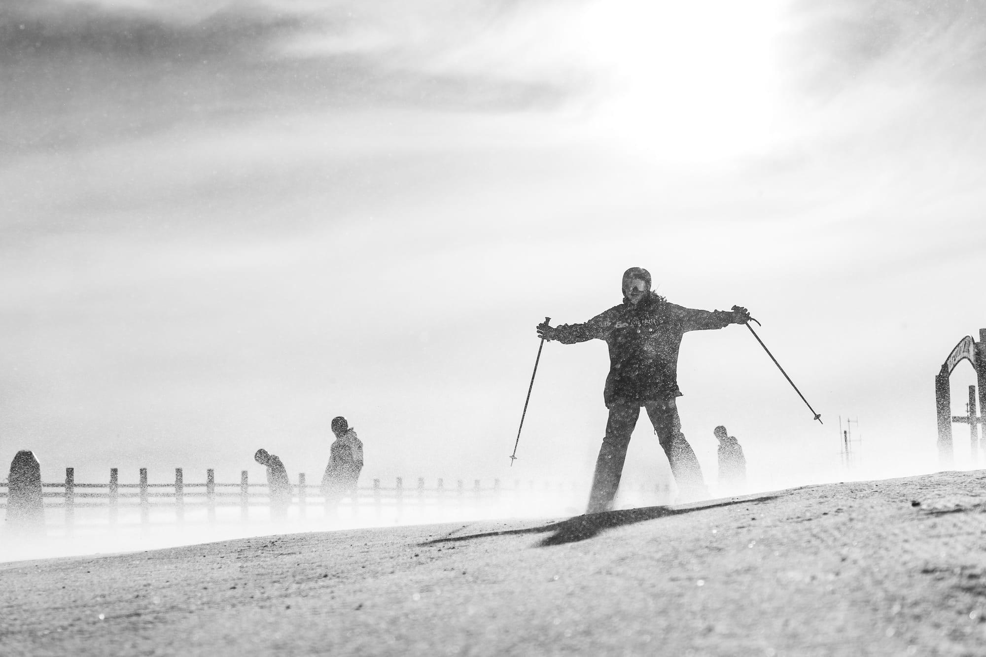
New Zealand has not had the snowfall that Australia has had so far, although most Kiwi areas were in better shape than Aussie ones in terms of terrain open (some already at 100%) and snow depths (some already at a meter). The exception was Whakapapa on Mt. Ruapehu on the North Island, which had not been able to open much terrain at all in the first few months of the season but scored colder and snowier weather than most at the start of this week. They stress they plan to stay open until the end of October, so they still have three months of the season left. Otherwise, conditions have been mostly clear and sunny, although strong winds have been a problem at times, closing some centers temporarily. Mt Dobson Ski Area was closed on Thursday to allow maintenance crews to cover rocks exposed due to warm temperatures in the last 48 hours ahead of a weekend reopening. However, it is now the only area saying every slope is open, with Treble Cone (20/50cm / 8/20”), which had been posting that for the past few weeks, now dropping back. Mt Hutt (40/73cm / 16/29”) and Cardrona (50/70cm / 20/28”) continue to post the most terrain open in the country, somewhere around 30km (19 miles) each, representing 75% of their maximum terrain. Coronet Peak (15/50cm / 6/20”) isn’t far behind, with about 70%/28km/17 miles.
NEW ZEALAND FORECAST
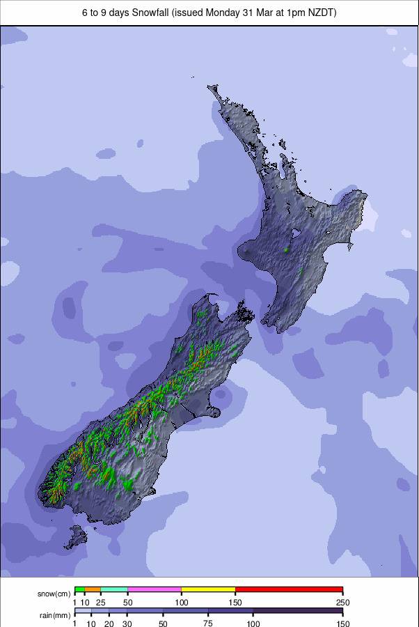
Mostly sunny for the latter half of this week but signs of a change and potential snowfall at the weekend. Temperatures will continue to dip below freezing overnight and in the mornings, reaching +5°C or a degree or two higher at resort base levels.
ARGENTINA REPORT
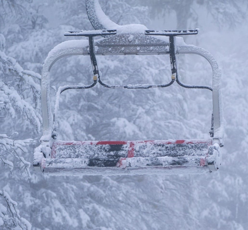
Most Argentinian ski areas have enjoyed another dry, sunny week, except for more southerly latitudes, including the most southerly of them all, Cerro Castor in Tierra del Fuego province, which has seen some snow most days and temperatures remaining below freezing. Chapelco (115/330cm / 46/132”) continues to post the deepest snow in the world right now, while Catedral (50/140cm / 20/56”) near ski town Bariloche, the continent’s largest ski area by uplift, continues to report the most runs open at a single area in the world. It has about 96km (60 miles) of slopes available, around 80% of its full area. Most of Argentina’s ski areas have all or nearly all of their runs open, thanks to the huge pre-season snowfalls the country enjoyed. Cerro Bayo (10/85cm / 4/34”) is one of those with every run open and every lift spinning.
ARGENTINA FORECAST
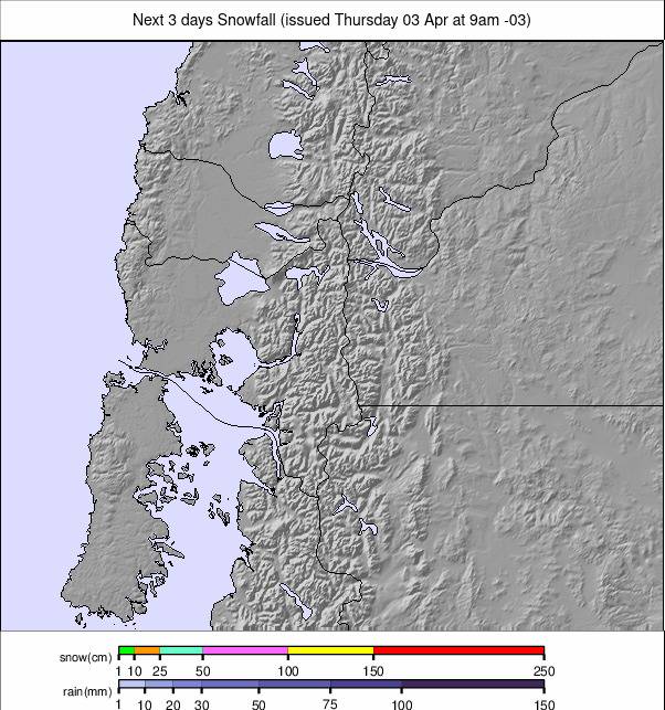
It looks like there’s finally some change in the air, with snowfall forecast for most Argentinian resorts through the latter half of this week. Temperatures will remain predominantly in the -7 to +7°C range, colder and snowier the further south you go in this vast country.
CHILE REPORT
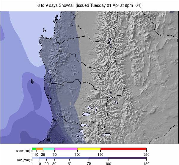
It has been a cold but largely dry and sunny week in the Chilean Andes. It's been about a month since the heavy snowfall that saw Chilean centers start their season with as much snowfall as they get in an average season already fallen. Since then, it has been mostly dry. Temperatures have remained below freezing in the -4 to -12°C range on higher slopes, more like -5 to +5°C at base levels. Thanks to all that early snowfall, most of the country's centers remain fully open or nearly so. The Valle Nevado (60/140cm / 24/56”), La Parva (90/145cm / 36/58”), El Colorado (60/130cm / 24/52”), Tres Valles connection continues to be the largest ski area currently open, with nearly 12km (75 miles) of slopes available between the three centres combined. Portillo’s base (120/190cm / 48/76”) has dropped below the 2m (80”) mark for the first time in a few months, but it remains 100% open with all lifts running, all slopes open, and still has the deepest base in Chile.
CHILE FORECAST
There’s no real sign of the sunny conditions ending except at more southerly destinations like Nevados de Chillan, where there may be some light snow showers in the latter half of this week. Elsewhere, it looks like more sunshine and temperatures remaining low – freeze/thaw at bases, constantly below zero on upper mountain slopes.
SOUTHERN AFRICA REPORT
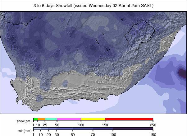
Lesotho’s Afriski (15/15cm / 6/6") has had another mostly sunny week, with temperatures dipping below freezing overnight but climbing to high single figures in the daytime. The mile (1.6km) long main slope has been open all week, and there's also a terrain park area and nursery slope for beginners. The region's other ski area, Tiffindell in South Africa, remains closed and up for sale while it awaits a new owner/operator.
SOUTHERN AFRICA FORECAST
Temperatures look set to dip over the latter half of the week, even with the sun still shining. Overnight lows down to -8°C are forecast for the top of the slopes, with daytime highs around +6°C in the afternoons.
