Fewer than 50 North American resorts remain open as spring takes hold
Updated April 23, 2025: Spring sun, slushy snow—and surprise powder! Up to 15" (37 cm) fell in the Rockies, and Timberline’s 12-foot (375 cm) base still holds strong.
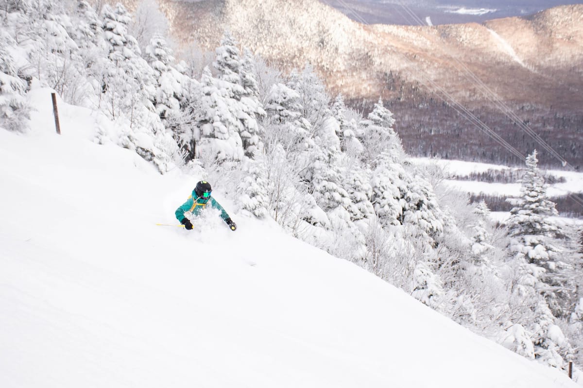
- Rockies and West Coast score late-season snow boosts ahead of May closures
- Timberline tops snow charts with 12-foot base as Pacific sun fades
- Midwest and East Coast near season's end, but a few lifts still spinning
- Western Canada preps for potential snowy weekend after sunny Easter break
NORTH AMERICA OVERVIEW
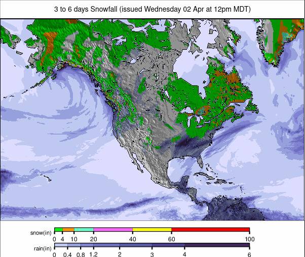
As with the rest of the Northern Hemisphere, North America's season is winding down fast now, and after many centres closed following the Easter weekend, fewer than 50 remain open either through this coming Sunday or into May. Winter hasn’t yet given up its hold, though, with still-open ski areas in the Rockies reporting up to 15” (37 cm) of snowfall into the Easter weekend. Prior to that, ski areas in the Northeast and parts of the Midwest posted up to 9" (23 cm) of snowfall in the previous seven days. The Pacific Northwest corner, which has had the snowiest winter of the whole continent, also received another 6–12" (15–30 cm). When it wasn't snowing, ski areas experienced very warm temperatures in the 50s, 60s, and even 70s Fahrenheit, leading to soft snow, fast thawing, and the staging of many season-end pond skimming competitions.
ROCKIES REPORT
Still-open ski areas in the Rockies got a boost over the weekend. Utah’s Solitude (89/89" / 222/222 cm) and Alta (130/130" / 325/325 cm) both reported almost a foot (30 cm) of fresh snow in time for the weekend. Down in Colorado, Loveland reported a 15" (37 cm) accumulation, and Breckenridge, one of half a dozen aiming to stay open into May, reported 8 inches (20 cm) of freshies in the 24 hours up to Saturday. There was lighter snowfall over the weekend—just an inch or two—and it has been drier since. Temperatures are reaching into the 50s in the afternoons but still dropping well below freezing overnight, maintaining freeze/thaw conditions, especially on higher terrain.
ROCKIES FORECAST
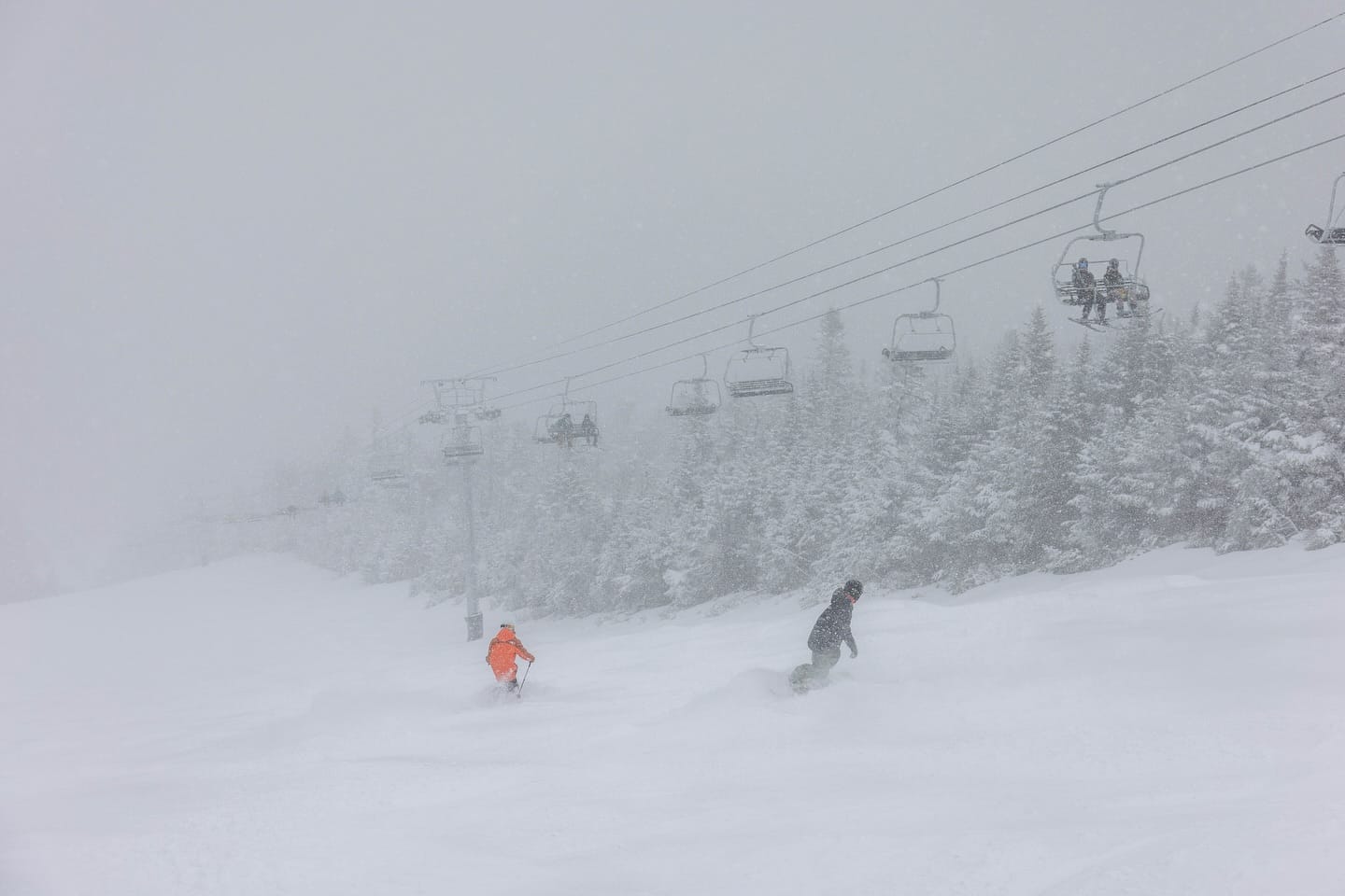
Sunny weather is dominating, with freeze-thaw conditions and not much precipitation forecast. Overnight lows are in the 20s up high but soon climb into the 40s even at high elevations, while base levels are in the 50s and even low 60s in the afternoons.
WEST COAST REPORT
Largely sunny weather with freeze-thaw conditions has dominated America's Pacific Coast this week. Temperatures have still been dropping to the high teens/low 20s overnight on high slopes and reaching freezing point even at base level, but daytime highs have been in the mid-40s and even low 50s at times. Still-open ski areas include Mammoth and The Palisades in California; Mt. Bachelor, Mt. Hood Meadows, and Timberline in Oregon; and Crystal Mountain and 49 Degrees North in Washington State, among others. Timberline has the deepest snowpack up top at more than 12 feet (375 cm), and Mammoth, Mt. Bachelor, and The Palisades still report their slopes are almost 100% open.
WEST COAST FORECAST
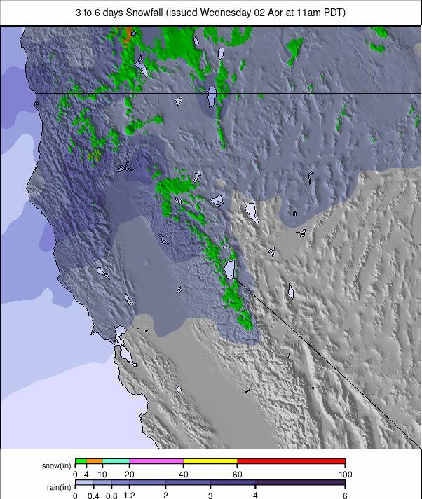
The current sunny weather is expected to give way to cooler, cloudier, and more unsettled conditions as we head toward the weekend, with a few inches of snow expected on higher ground and weekend totals possibly reaching a foot up high by the start of next week.
MIDWEST REPORT
The season is all but over in the Midwest. A handful of areas did open for the Easter weekend, but for most, that was the finale. However, Michigan’s Mount Bohemia (165/165” / 419/419 cm) has announced it hopes to reopen over the next two weekends. It has consistently posted the deepest cover in the Midwest. Temperatures have been down towards freezing overnight, with highs in the 40s and 50s. There were a few inches of sleet and snowfall to start the week as well.
MIDWEST FORECAST
Temperatures are creeping up a little, with some rain and sleet and overnight lows getting down to just a few degrees above freezing.
EAST COAST REPORT
The season is, of course, winding down fast now in the Northeast, but there are still a dozen or so ski areas open, and most have seen some fresh snowfall over the past week. In Vermont, Jay Peak (24/60” / 60/150 cm) is one of those planning to stay open into May and posted a 7” (17 cm) accumulation into last weekend. New Hampshire’s Black Mountain (3/120 cm / 7/300 cm) is also planning to stay open until the first weekend in May and is reporting the region’s deepest snowpack. Since last week’s snow, it has become very warm in the daytime (temperatures into the 60s, even 70s at times) across the region, with strong winds and occasional rain showers, so it definitely feels like we’re into the final days of the season.
EAST COAST FORECAST
Mostly dry, with occasional overnight lows dipping a few degrees below freezing on high ground, but otherwise staying above freezing even at night. Daytime highs are reaching into the 50s and 60s. More unsettled weather over the weekend may bring a few snowflakes up high, but more likely rain and sleet.
WESTERN CANADA REPORT
It is finally feeling quite springlike in Western Canada, with temperatures reaching double digits in the valleys during the daytime. As elsewhere, there's been a sharp drop-off in the number of ski areas still open, with the larger two of the three Banff ski areas, Jasper’s Marmot Basin (102/102 cm / 41/41”) and Whistler’s Blackcomb Mountain (0/266 cm / 0/106”), the main options going forward. All have posted that they still have 90% or more of their terrain open. Most centres saw fresh snowfall over the weekend—some as much as 25 cm (10”)—perfectly timed for Easter Sunday/Monday. It has been drier and sunnier since.
WESTERN CANADA FORECAST
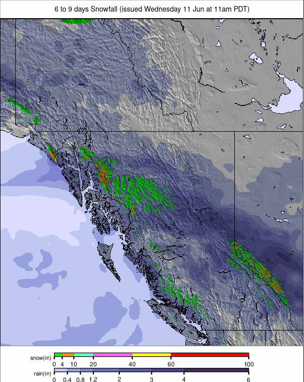
It’s looking dry and sunny for the next few days, but currently, the forecast is pointing toward a snowy weekend, with temperatures dropping and 10–30 cm accumulations expected, although it's a little early to say with certainty.
EASTERN CANADA REPORT
Eastern Canada’s season largely concluded at the Easter weekend, with most of the remaining centres, including the largest, Mont Tremblant, signing off on winter 24–25. However, Quebec's Sommet Saint-Sauveur (0/50 cm / 0/20”) is known for keeping its higher slopes open as long as possible, with the centre normally opening on weekends into May. It currently reports the upper quarter of the mountain is still open.
EASTERN CANADA FORECAST
Temperatures drop to a degree or two above freezing overnight, with highs around +10°C in the afternoons. Mostly sunny, but with occasional rain and sleet showers.

