Whistler leads North America with 90% terrain open after fresh snowfall
Updated April 16, 2025: Big late-season dumps hit the Northeast and Canada, while Rockies brace for Easter snow—some resorts still skiing into May.
- Northeast scores surprise April dump with over a foot of fresh snow
- Northern Rockies brace for Easter storm with heavy snow in the forecast
- West Coast stays sunny, but deep snowpack keeps season alive
- Midwest ski season wraps, just a few hills spinning for Easter weekend
NORTH AMERICA OVERVIEW
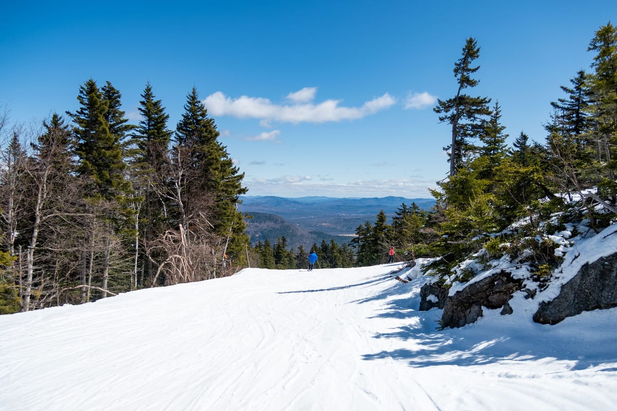
It's been a mixed week for North America, with cold, snowy conditions in Canada and the northern US but much more fluctuation in most of the rest of the US. Snowfall hit the headlines beyond the ski world at the end of last week and the weekend in the Northeast, with low temperatures and widespread accumulations. Some ski areas posted more than a foot of mid-April snowfall. The Rockies, too, saw snowfall into last weekend, but it's been much more 'springlike' since, with temperatures climbing up to the 50s and 60s Fahrenheit. That's been the case for much of the West Coast too. About 75% of North American ski areas have ended their seasons, and quite a few more will join them after Easter (almost everywhere has already closed in the Midwest), but a good number still plan to continue into May.
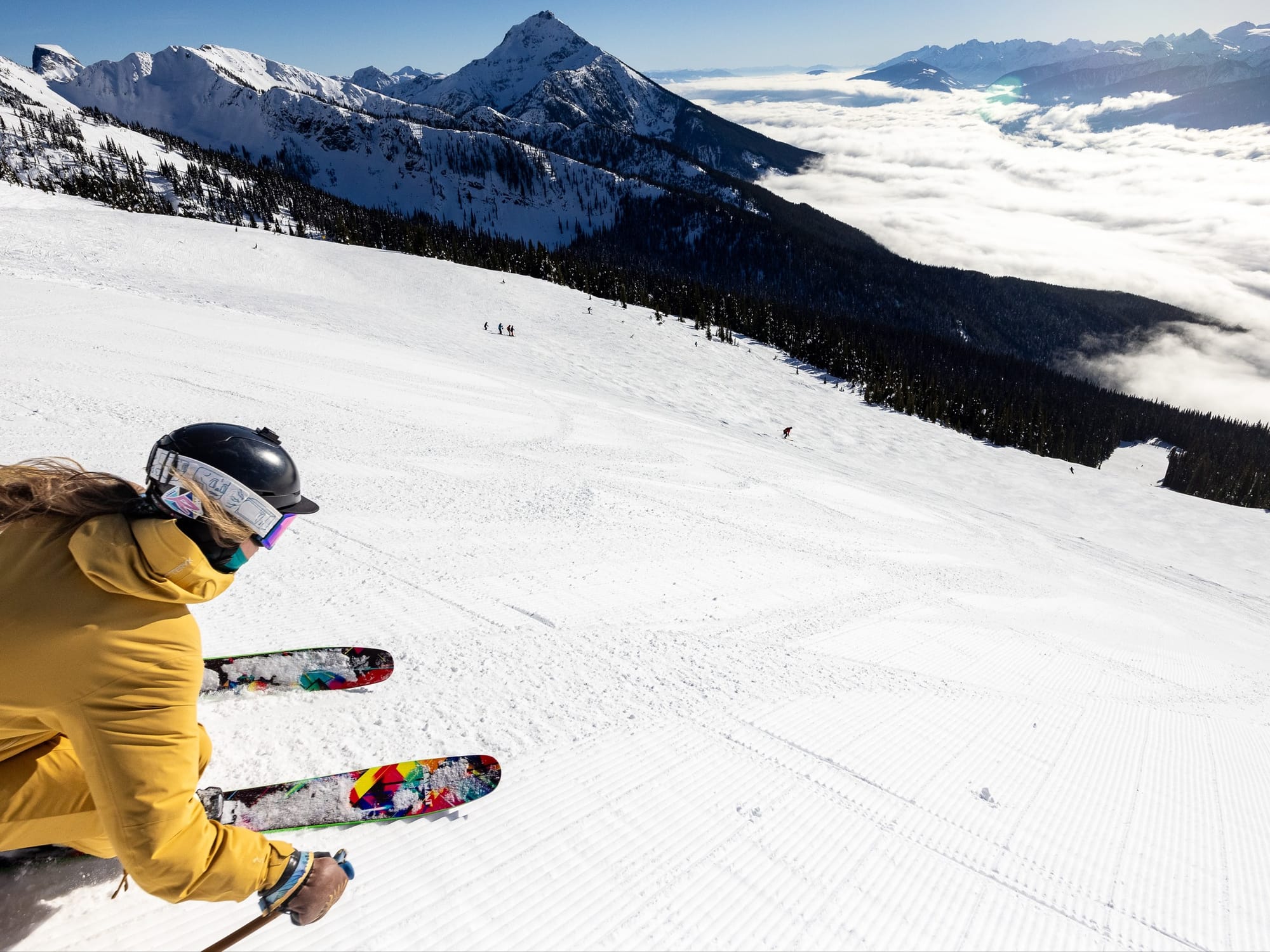
ROCKIES REPORT
The Rockies saw cold and snowy conditions at the end of last week, and fresh pow was to be had over the weekend. A rapid rise in temperatures, though, saw everything switch to spring slush by the start of this week. About two-thirds of ski areas in the Rockies are still open for Easter week—a higher percentage than most parts of the northern hemisphere. Most have reduced open terrain to 50-70%, although Utah’s skiers-only Alta (22/128” / 55/320cm), which is posting the region’s deepest snow, still reports 98% of its slopes open.
ROCKIES FORECAST
There’s quite significant snowfall forecast for the northern Rockies over the latter half of this week, with several feet (60cm) possible for higher, more northerly resorts by Easter Sunday—although for most, it will be a lot less. Further south in Colorado and Utah, totals nearer 12”/30cm are expected.
WEST COAST REPORT
It's been a largely dry and sunny week on the West Coast, with temperatures climbing into the 50s Fahrenheit in Washington State and the 60s in California. There were just a few inches (5cm) of snowfall reported on high slopes in the north at the weekend to break up the clear skies. Despite that, thanks to heavy falls earlier in the season, West Coast ski areas are sitting on a snowpack that's now starting to outdo Japan’s winter accumulation as that appears to be thawing there more rapidly. Alaska’s Alyeska (3/202” / 8/505cm) is posting not only North America’s deepest snowpack but also the second deepest in the world. California’s Palisades (28/360cm / 11/144”) is posting the most terrain open still—about 75% of its slopes—and is open well into May, at least.
WEST COAST FORECAST
Little change to the forecast, with mostly mild temperatures, plenty of sunshine, and any snow showers expected to be just half an inch (1cm) or so.
MIDWEST REPORT
There was some snowfall at the weekend in a few parts of the Midwest, but the ski season is all but over here, with more than 97% of ski areas now closed for good and just four expecting to reopen for the Easter Weekend. It’s not yet clear if any expect to reopen after that. Boyne Mountain Resort (40/40” / 100/100cm) still has almost half of its runs open, the most in the region. Mt. Bohemia (65/65” / 162/162cm) has the deepest surviving snowpack.
MIDWEST FORECAST
Rain, sleet, and snow showers are forecast for the coming week, with most of the precipitation rain and sleet, with an outside chance of an inch or so of snow up high. Sunny spells in between, with temperatures ranging from the 30s to 50s Fahrenheit.
EAST COAST REPORT
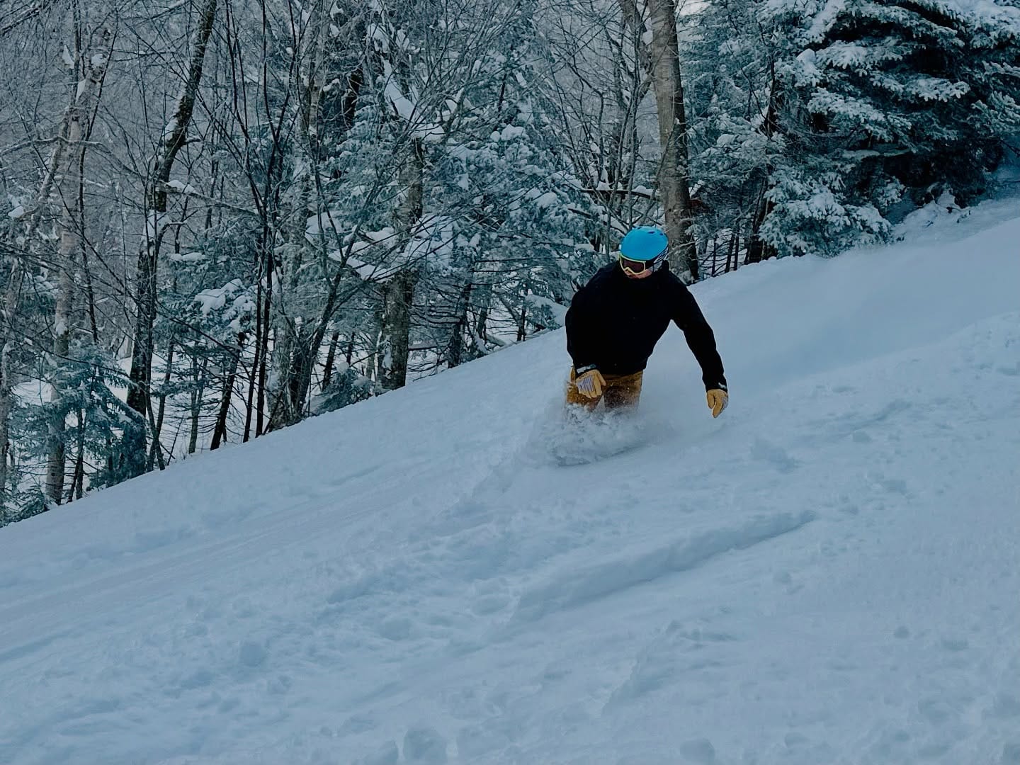
The season may be winding down fast on the East Coast as elsewhere, but the region reported some of the biggest snowfalls in the world at the end of last week. Most resorts got at least a foot (30cm) of fresh snowfall over 72 hours, topped by Maine's Sugarloaf (16/24” / 40/60cm), which posted a 15” (37cm) accumulation into the weekend. Conditions settled down since, with a mixture of sleet, snow, and rain showers along with sunny spells. Most resorts in the region have ended their 24-25 seasons now, but a dozen or so are staying open to Easter, with Vermont's Jay Peak and Killington aiming to stay open well into May.
EAST COAST FORECAST
Mostly sunny weather with temperatures in the 40s and 50s, so fast thawing continues. A front moving through on Friday/Saturday will most likely bring a spell of rain.
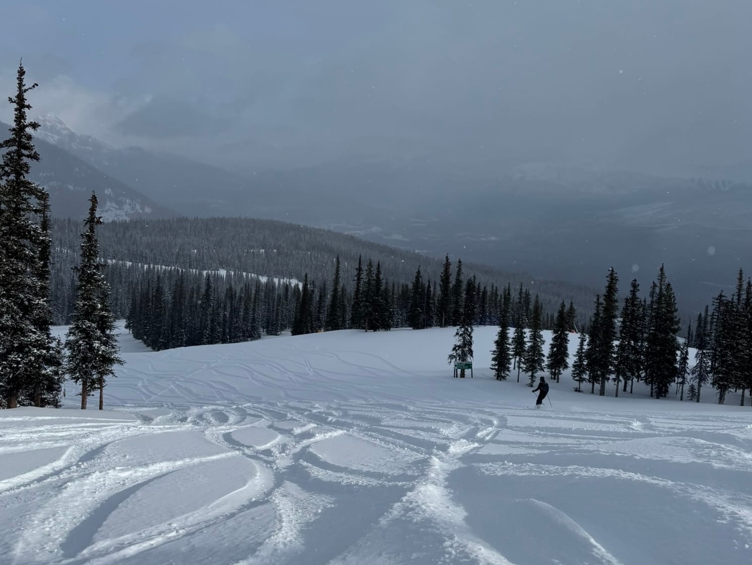
WESTERN CANADA REPORT
A good week for ski areas still open in Western Canada, with low temperatures and fresh snowfall reported. Whistler Blackcomb (20/238cm / 8/95”) was one of the big winners, posting more than 30cm (12”) of fresh snow and more than 90% of its terrain/260 runs open for the Easter weekend—by far the most in North America right now. On April 22, it will transition over to spring operations, with Whistler Mountain closing for the 2024/25 winter season and skiing and riding continuing on Blackcomb Mountain through to May 19. Another ski area staying open into May, Jasper’s Marmot Basin (107/116cm / 43/46”), also posted a good snowfall, with 22cm (9”) landing ready for the weekend. More of Western Canada’s big centres have been ending their seasons, though, with Fernie and Kicking Horse announcing their seasons are over until next fall.
WESTERN CANADA FORECAST
A drier end to the week with plenty of sunshine. Temperatures still getting down towards -5°C up high overnight, though, and daytime highs should still be in single figures above freezing, keeping the snow in fairly good shape. Some snow showers will also be in the mix again, especially by the weekend.
EASTERN CANADA REPORT
It’s been a good week for Eastern Canada, with some of the still-open ski areas in Quebec and Ontario posting some of the biggest snowfalls in the world going into the weekend. Mont Sutton, which is currently opening weekends only, posted a 23cm (9”) accumulation, and other ski areas in the Eastern Townships reported similar. Mont Tremblant (0/344cm / 0/138”) also had fresh snowfall and continues to post both the deepest snowpack in Eastern Canada and the most terrain open, with about 70% of its terrain still open for its final week, due to conclude on Easter Monday. Most of the rest of the centres in the region plan to end their seasons then too, with only a few, including Sommet St-Sauveur, looking set to continue into May
EASTERN CANADA FORECAST
More sunshine in the mix for the latter half of the week and through the weekend. Overnight lows still getting below freezing down to mid-mountain. Just occasional showers, but more likely to be rain than snow except at high levels.


