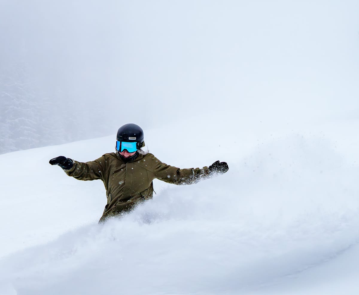
Tahoe Resorts Extend Season After Huge 4ft Storm
Updated April 9, 2025: Spring’s here, but winter roared back—up to 4ft (1.2m) of fresh snow in Tahoe, and Alta’s still buried with 116” (391cm) up top. Read more here.
- Rockies see winter flashback with mid-April powder days
- Alta holds deepest snowpack in North America
- Killington and Mammoth set sights on late-May closing
- Sunshine Village extends hours after March snowfall surge
NORTH AMERICA OVERVIEW
Springtime continues to take hold of North America, and more of the continent's bigger, higher ski areas closed for the season last weekend, with many more set to follow this. Winter hasn't given up completely, though, with the Rockies seeing winter conditions and significant snowfall in the latter half of last week. There have also been snowy spells in northern New England, the Midwest, and western Canada at times. The inevitable overall trend, though, is of consistently rising temperatures and snowfall becoming sleet or rain. Temperatures into the 60s Fahrenheit are expected for some ski regions this coming week.
ROCKIES REPORT
The Rockies enjoyed a sunny end to last week, with Arapahoe Basin and the Arizona Snowbowl among areas posting 18” (45cm) or more of fresh snowfall on higher slopes over the 72 hours up to Saturday. At the time, they reported ‘mid-winter-like’ conditions; since the weekend, though, it has become “much more springlike,” with freeze-thaw weather and soft snow in the afternoons. A good many leading ski areas, including the likes of Crested Butte and Keystone, ended their seasons on Sunday, but dozens more remain open, with several planning to continue into May. Utah’s Alta (50/116” / 125/391cm) has the region’s deepest snow.
ROCKIES FORECAST
It's a pretty much non-stop sunshine forecast for much of the Rockies, with just a chance of snowfall in the far north of the region at the weekend. Base temperatures widely reach the 50s and potentially low 60s Fahrenheit in the afternoons.
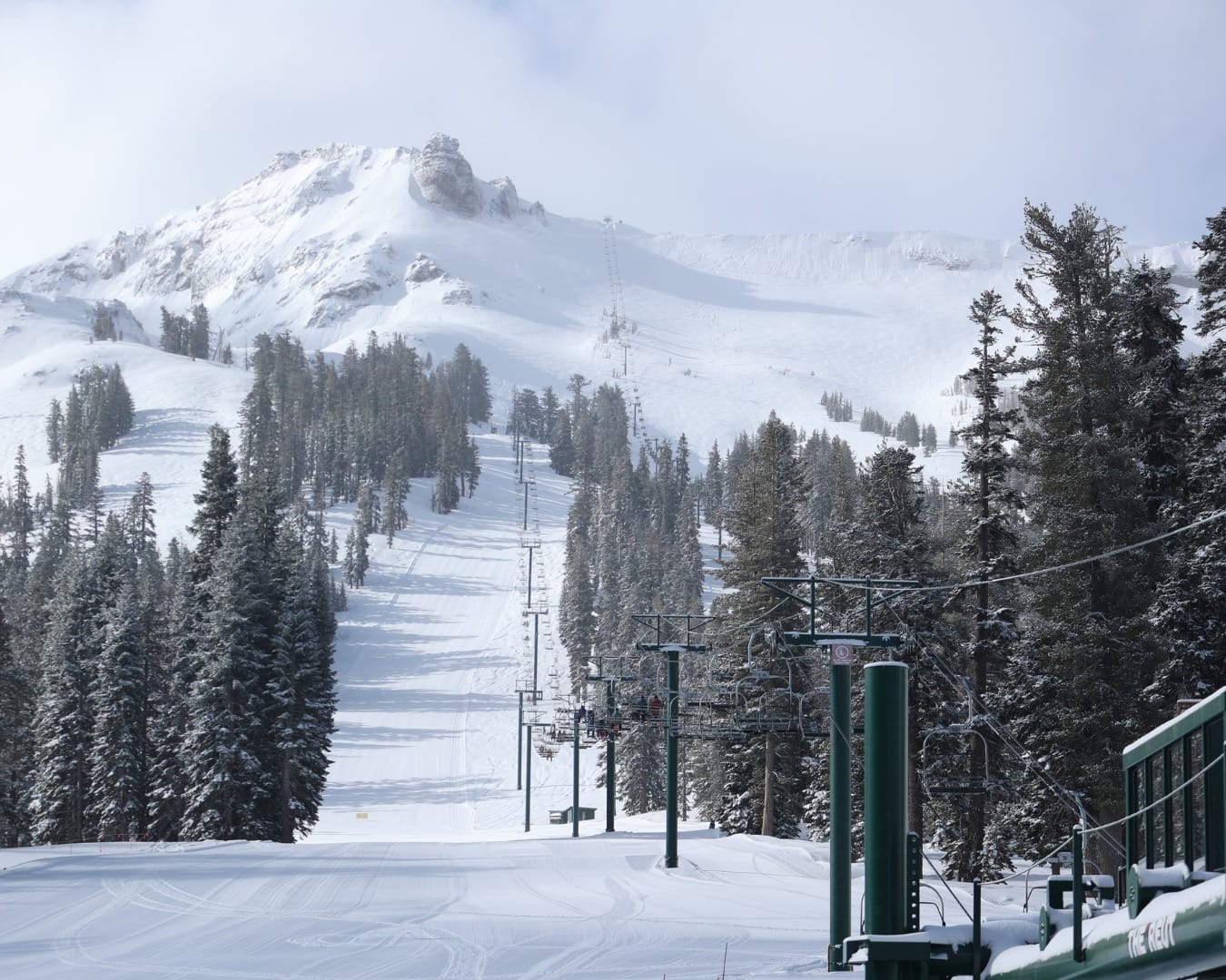
WEST COAST REPORT
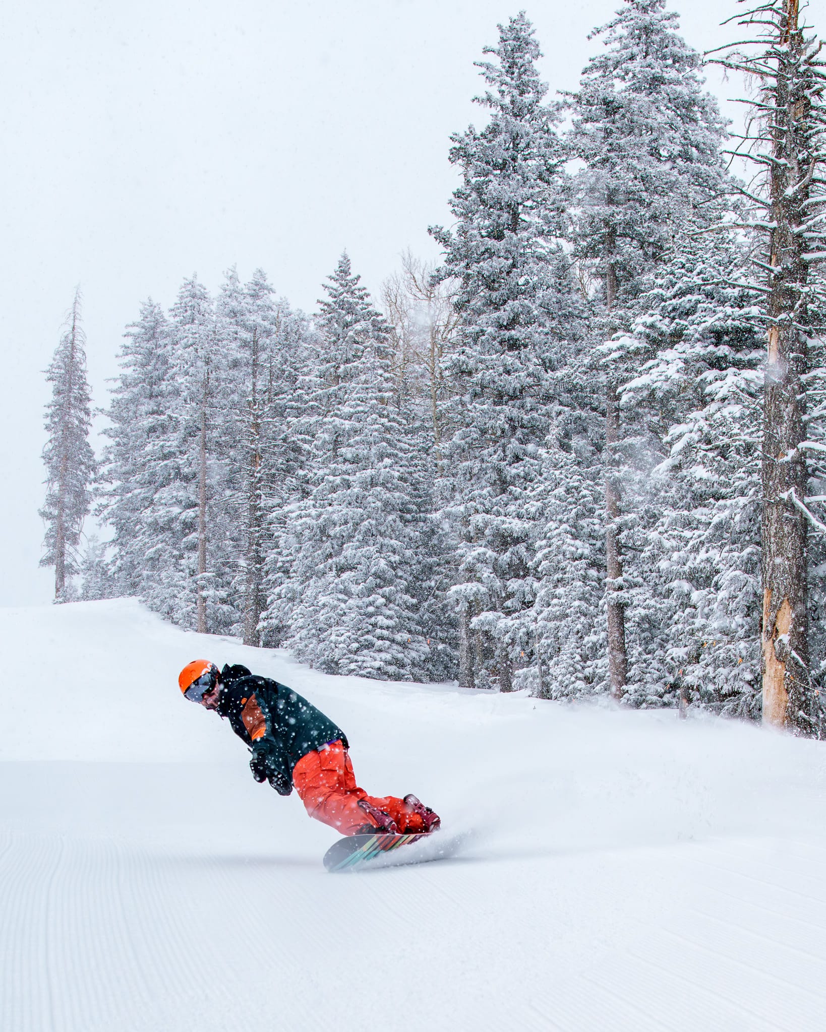
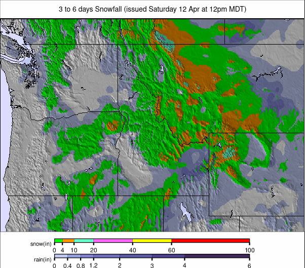
Some ski areas around Lake Tahoe were closed midweek last week as the latest atmospheric river from the Pacific brought huge snowfalls but also gale-force winds, making opening difficult and potentially dangerous. By last Thursday, though, reports of up to four feet (1.2m) of snowfall were coming in from the storm cycle, leading some to announce season extensions. "It's official – we're staying open through Sunday, April 20, following 33" (82cm) of new snow falling during this past storm cycle!" a statement from Kirkwood announced, adding, "All currently open lifts and terrain will remain operational daily through April 13. After that, frontside chairs 5, 6, 10, and 11 will stay open through our new closing day, April 20. Chair 1, Timber Creek, and backside chairs and terrain will close for the season after April 13." Kirkwood joins Northstar, which also announced an extra week to the 20th. Elsewhere in California, both Palisades Tahoe and Mammoth have said they plan to remain open for almost another two months through to the Memorial Day holiday weekend at the end of May. Since last week’s big storms, there have been some light snow showers, but mostly it's been very springlike with warm temperatures.
WEST COAST FORECAST
Mostly sunny weather with temperatures barely getting below freezing, even on high slopes overnight—perhaps just a degree or two. Some snowfall is expected on high slopes in Oregon and Washington state towards the end of the weekend if the current forecast holds correct that far off.
MIDWEST REPORT
The season is winding down in the Midwest, with temperatures rising and the snow thawing. About half a dozen areas, mostly in Michigan but with a couple in Minnesota and Wisconsin, are still operating. They're reporting anything from 20–70% of slopes still open. After spring conditions last week, the past few days have actually been quite cold—below freezing—with some light sleet and snow showers. There have been strong, gusty winds at times too. Marquette Mountain (25/72" / 62/180cm) is reporting the deepest remaining snowpack in the region, and two-thirds of its slopes are still open.
MIDWEST FORECAST
It's set to warm up considerably over the coming week, with temperatures widely in the 40s and 50s Fahrenheit and potentially reaching the low 60s. Mostly sunny to end the week and through the weekend.
EAST COAST REPORT
About three-quarters of ski areas on the East Coast have now closed for the 24–25 season, and many of the rest will join them this coming Sunday. Smugglers' Notch has now switched to weekend-only operations, with Stowe among still-open areas planning to close this coming weekend. The past few days have been colder than recently in much of the region, with temperatures down around freezing and light snow and sleet showers reported—although also strong winds at times. Weekend accumulations of up to 8” (20cm) were reported up in the north of the region in Maine. Killington (18/36” / 45/85cm), likely to stay open well into May, has the most terrain still open—about 70% of its full area.
EAST COAST FORECAST
Remaining unsettled, with temperatures getting into the high 40s and 50s and potentially even the low 60s by the weekend. So the light showers will be sleet and rain rather than snowfall later this week.
WESTERN CANADA REPORT
Some warm temperatures and plenty of sunshine in western Canada this week, with several big-name resorts in Alberta and BC ending their 24–25 seasons on Sunday, and quite a few more planning to do so at the end of this coming weekend. Banff’s Sunshine Village isn't one of them, though, and is staying open well into May (19th) as usual. It has announced extended slope opening hours so that guests can ski or ride for longer each day. Its chairlift opening times are now to 4:30 pm on all lifts and 5:00 pm for Jackrabbit to allow guests to enjoy an extra couple of springtime runs. “The past month has been Banff Sunshine's snowiest of the season so far, with 91cm (over 2 feet) of Canada's Best Snow accumulating in the first half of March,” a resort spokesperson said. Whistler Blackcomb is still reporting 8,171 acres of its terrain open, and lifts are spinning there until 4:00 PM daily.
WESTERN CANADA FORECAST
Sunny spells interspersed with snow, sleet, and rain showers over the coming week in the west. Temperatures range from +15C in the afternoons in valleys to -10C on higher slopes overnight, so freeze-thaw conditions at most levels.
EASTERN CANADA REPORT
Lots of Eastern Canadian ski areas have ended their seasons now, but of those still open, some—like Quebec’s Mont Sutton—were temporarily closed some days over the last week as rain showers moved through. It's now operating at weekends only. The weather cooled down at the start of this week, with lows dropping back down to -8C up high and light snow showers reported. Tremblant (187/329cm / 75/132”) has the deepest snowpack and the most terrain still open in the region—about 70% of its slopes.
EASTERN CANADA FORECAST
There's a sunny spell midweek, but temperatures are warming again into the weekend as it becomes more unsettled once more, with light rain and sleet showers expected.


