Blizzard-Like Conditions Hit Northeast as Vermont Resorts See Heavy Snow
Updated April 2, 2025: Winter's last stand! Major snowstorms hit California, the Rockies, and the Northeast, with some resorts facing early-season closures.
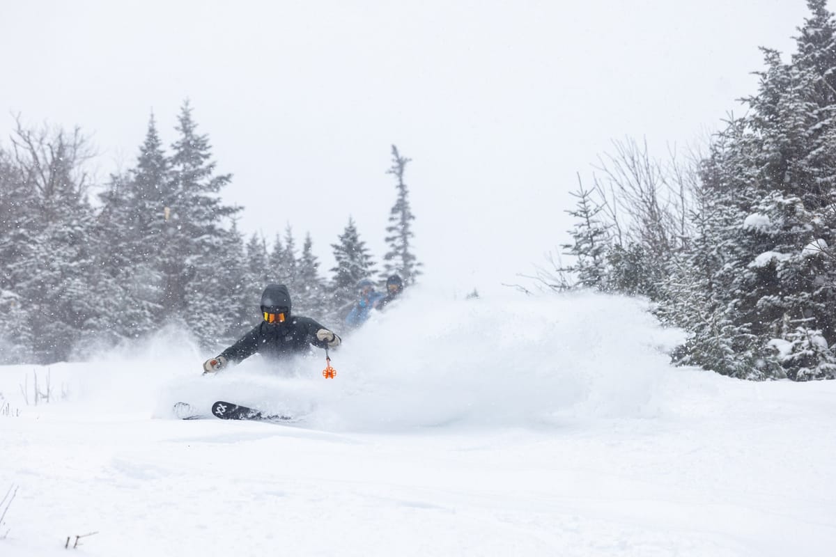
- Spring vs Winter: Snowstorms Hit the Rockies and California Ski Resorts
- California Ski Areas See Feets of Snow Amid Spring Heat and Rain
- Record Snow in Timberline, West Coast's Deepest Snowpack in North America
- Rockies Deliver 12" Powder, Alta Leads with Deepest Snow in Region
NORTH AMERICA OVERVIEW
Spring and winter conditions are battling across American ski slopes at present. We all know there can only be one winner, but winter is fighting hard with some significant snowfalls and blizzard-like conditions at times in California, the Rockies, and the Northeast. Between the snowfalls, however, temperatures have been getting ever higher, thawing snow on lower slopes and bringing rain and sleet at times, when it would have been snowfall a month ago. Many smaller, lower-altitude Canadian and U.S. ski areas have already ended their 2024-25 seasons, and most of the rest, including the first of the big names, will be following suit this coming weekend or the one after, with only about 10% planning to continue through to the Easter weekend and, in some cases, beyond.
ROCKIES REPORT
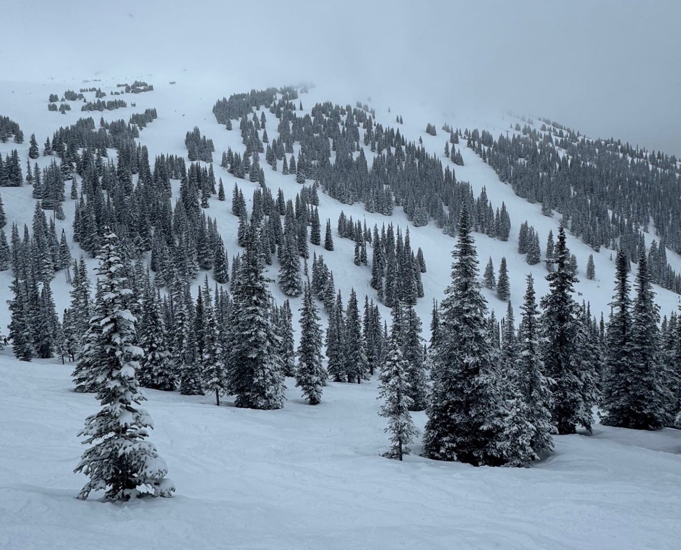
Plenty of powder was reported in the Rockies this week, with snowfalls over the weekend and at the start of the week bringing 6-12" (15-30cm) accumulations, with Colorado doing especially well. Winter Park (65/73" / 162/182cm) reported a 9" (22cm) accumulation in 24 hours to start the week, and Arapahoe Basin (67/67" / 172/172cm) just a little less. The snow showers have continued since, albeit mostly lighter, with temperatures close to freezing, especially in Colorado's higher areas. Alta (56/137" / 140/343cm) is posting the most snowfall in the region this season and the deepest snow in the Rockies as we start April.
ROCKIES FORECAST
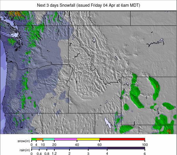
Remaining fairly cold, with temperatures ranging from the teens up to the high 30s, but only getting a few degrees above freezing. Plenty of snowfall is expected, with 2-6" (5-15cm) accumulations expected most days through the weekend.
WEST COAST REPORT
There was a shift in the location of the heaviest snowfall on the West Coast this week, with Californian ski areas seeing several feet of snowfall over the first few days, while this time, more northerly resorts in Oregon and Washington didn’t see as much, although they did get some. It was springtime, though, and the latest atmospheric river from the Pacific brought rain to some lower slopes. However, Sugar Bowl (70/154" / 175/385cm) posted 18” (45cm) over the weekend, and The Palisades (50/150” / 125/375cm) just an inch (2.5cm) less. Further north, Mt. Bachelor reported 6” (15cm) in 24 hours on Monday, taking their March snowfall total to 105” (263cm). It kept dumping on Tuesday, accompanied by gale-force winds. West Coast resort Timberline (295/470 cm / 118/188”) is posting North America’s deepest snowpack at the moment, and indeed, all of the 10 deepest bases in the world right now, excluding Japan, are on North America’s Pacific Coast.
WEST COAST FORECAST
The snowfall will taper off midweek, and winds will drop, with drier conditions heading toward the weekend. Temperatures will rise toward the high 40s at resort levels as well.
MIDWEST REPORT
About a dozen ski areas remain open after the weekend in the Midwest, with most of those expected to close this coming Sunday and just a handful continuing into next week. It’s been a bit of a weather roller coaster, with stormy weekend conditions bringing strong winds and torrential rain and, at times, some fresh snowfall on higher slopes. Michigan’s Marquette Mountain (24/72" / 60/180cm), one of those open through mid-April and currently posting the region’s deepest snow, was among those receiving a 3” (7cm) fall on Sunday. Another Michigan area, Mt. Bohemia (70/70” / 175/175cm), reported 5” (13cm) to start its week.
MIDWEST FORECAST
A real mix for the latter half of the week, with snow, sleet, and rain showers alternating with dry, sunny spells. Temperatures will range from the mid-20s to the high 40s/low 50s.
EAST COAST REPORT
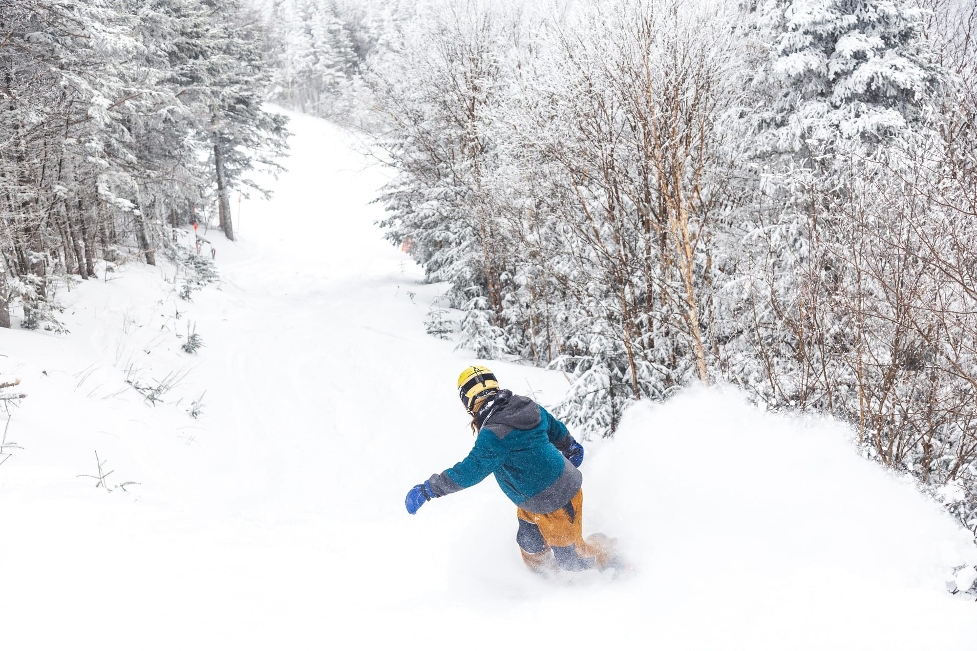
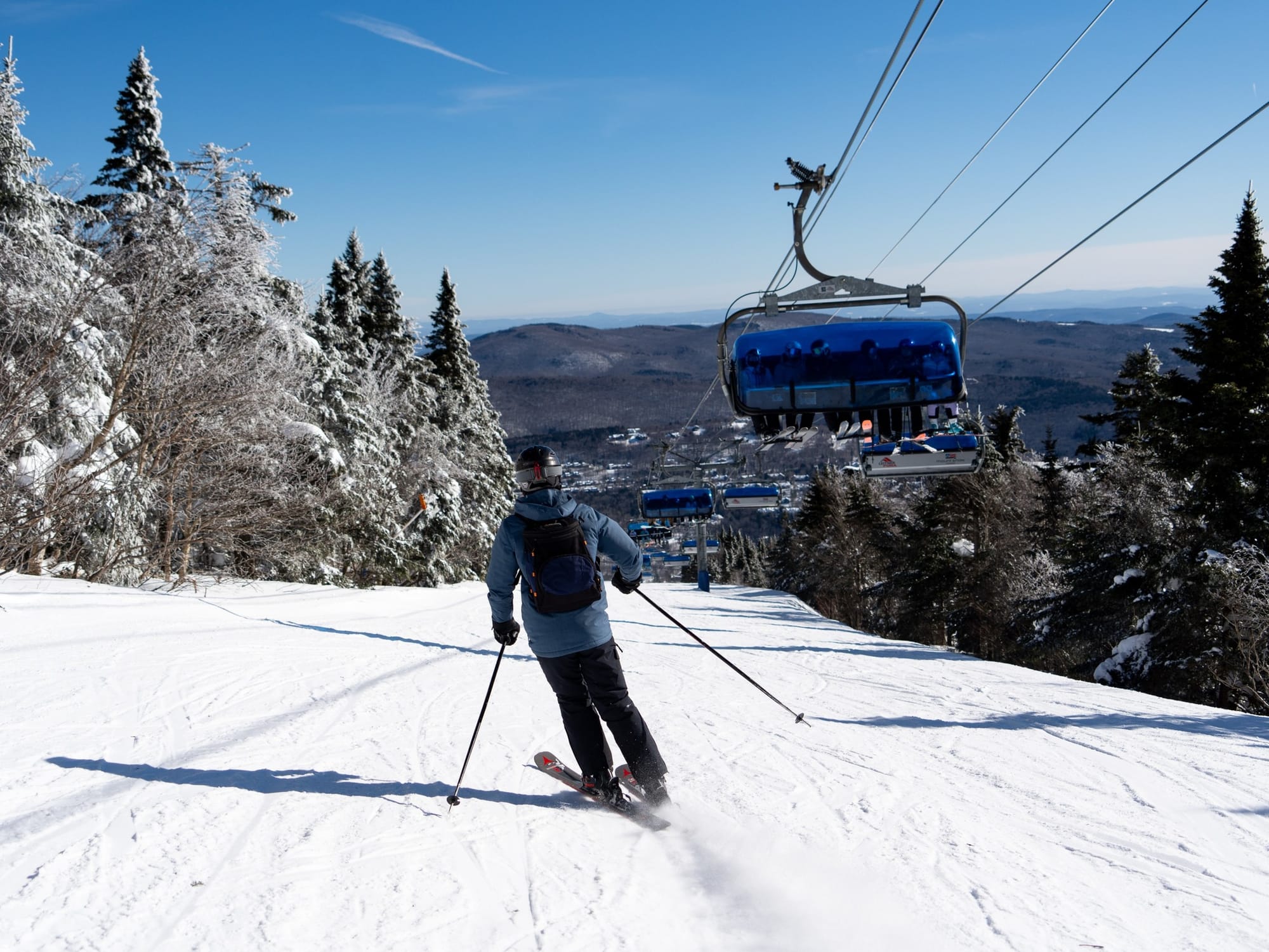
There were some quite good snowfalls in the Northeast last week, with Vermont’s Jay Peak posting 12” (30cm) going into the weekend, which saw more snow, sleet, and freezing rain in northern parts. However, there was also some stormy weather, with ice causing severe disruptions at the region’s largest resort, Killington (15/30” / 38/75cm), on Sunday, with everything from fallen trees blocking access roads and causing power outages to iced-up lifts. Things started to stabilize at the start of the week. Fellow Vermont area Smugglers' Notch Resort (10/46" / 25/115cm) reported a 9” (22cm) snowfall accumulation on its higher slopes through the weekend, as did Stowe (30/60” / 75/150cm). Similar accumulations were reported from the storm at still-open ski areas in Maine, New York State, and New Hampshire as well.
EAST COAST FORECAST
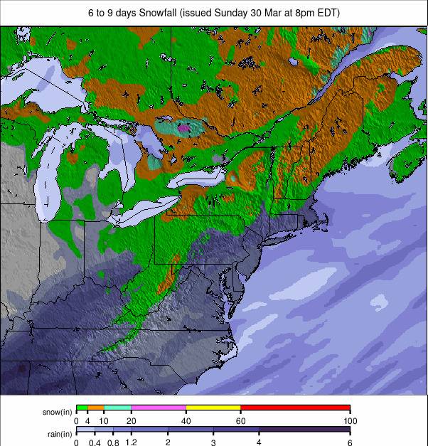
There was drier weather after the weekend storms, and the current forecast predicts a big jump in temperatures—unfortunately—into the 50s and possibly even the low 60s over the next 48 hours, before cooler (but still above-freezing) temperatures (and probably rain) to end the week.
WESTERN CANADA REPORT
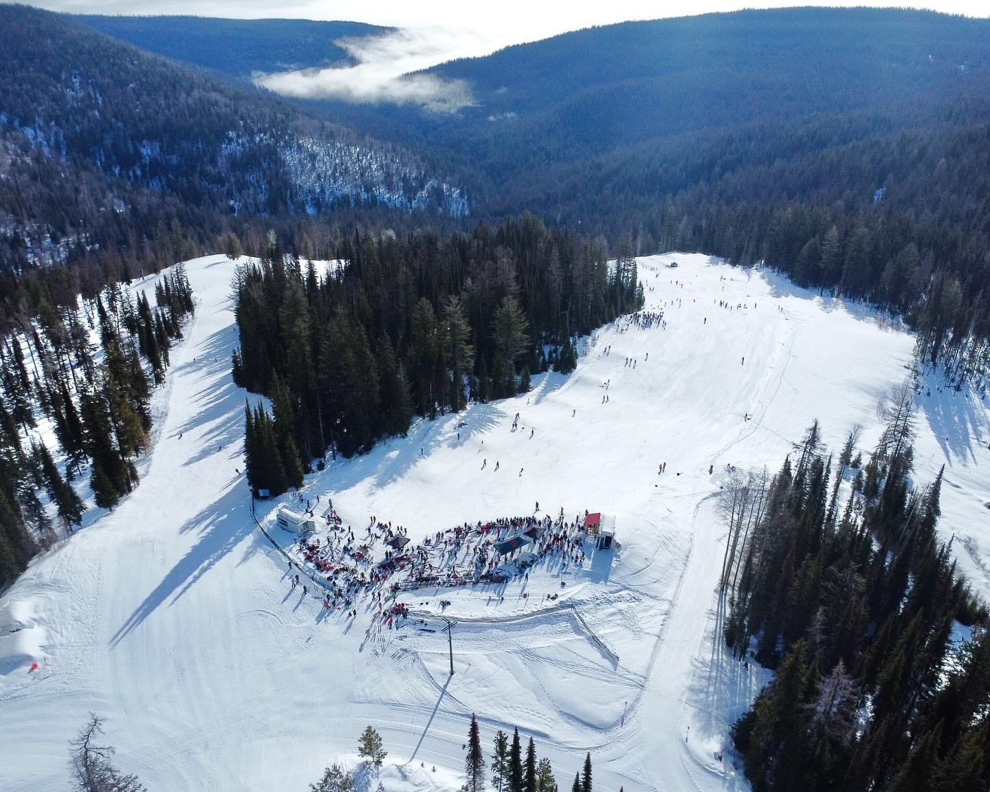
Things have finally started feeling a little more springlike in Western Canada this week, with daytime highs climbing up toward +10°C at resort bases and freeze-thaw conditions for most. The snow has kept falling, but it has mostly been lighter than in previous weeks. Lake Louise reports that 180+ cm (6 feet) of snow fell there in March. “With 23 days of snowfall this month, March might be our favourite time of year,” a resort spokesperson commented. Despite the favorable conditions, most Canadian ski areas will end their seasons over the next three weekends. Among the bigger names, B.C.’s Big White, Red Mountain, Sun Peaks, and Kimberley are all currently scheduled to end their seasons this coming weekend.
WESTERN CANADA FORECAST
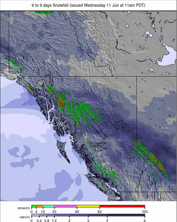
Temperatures are climbing, and snowfall will taper off in the latter half of the week. However, it will still be fairly cold, in the -2 to +6°C range on lower slopes, typically -10 to +2°C at the top of the lifts.
EASTERN CANADA REPORT
A classic spring mixture of weather, including some very cold overnight lows on Eastern Canadian slopes—down as far as -10°C some nights. However, daytime highs have reached the opposite extreme on low slopes in the afternoons, up to +10°C. So, the inevitable freeze-thaw of the snowpack continues, with precipitation arriving as snow at times but also as sleet and rain at others. There’s an end-of-season vibe in most areas, and indeed, the big players in the region have started closing or will do so this weekend, including Le Massif and Stoneham in Quebec and Ontario’s Blue Mountain.
EASTERN CANADA FORECAST
Sunshine, warm temperatures, and light showers—probably rain due to the warm weather—are expected for the remainder of the week. Valley highs will reach +15°C, with only the upper mountains dipping a few degrees below freezing overnight.

