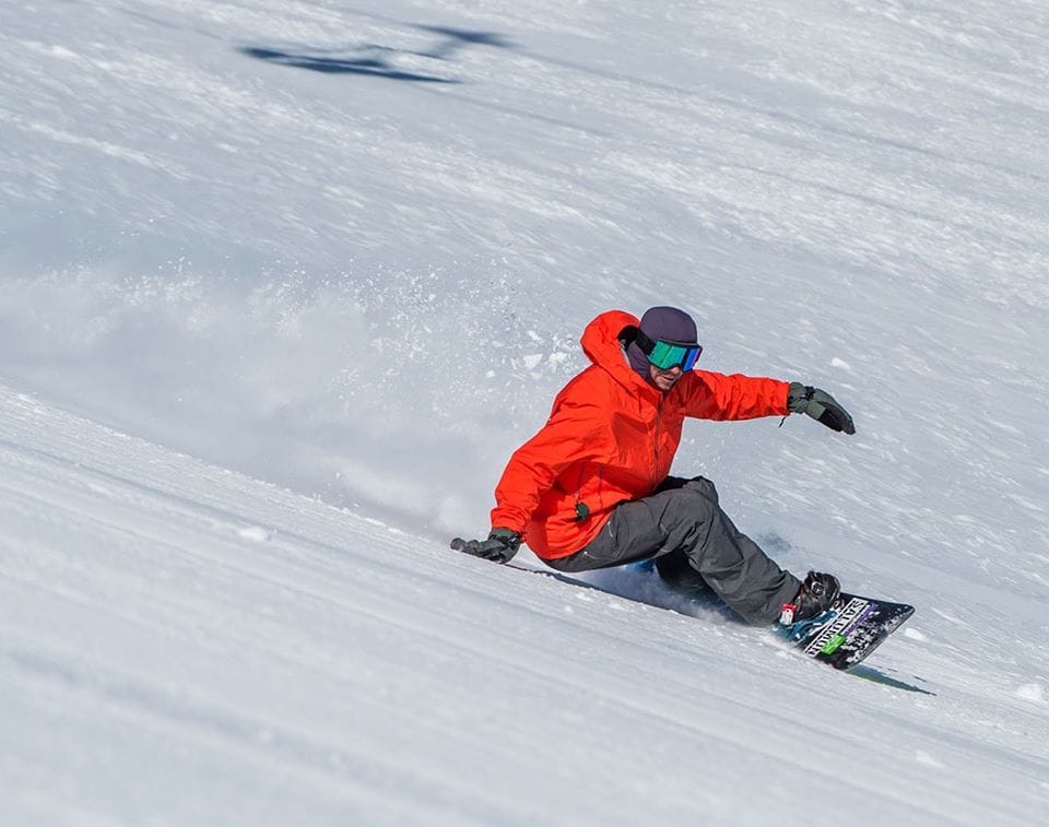
Mammoth Mountain Back on Top with Deepest Snow in North America
Updated March 19, 2025: California gets buried in 5 feet (1.5m) of snow. Jackson Hole surpasses 400" (10m) this season. More powder coming for Western Canada - click for details.
- California Buried in Snow - Up to 1.5m Falls in Massive West Coast Dump
- Jackson Hole Smashes 400” Snowfall Mark as Rockies Stay Cold
- Western Canada Primed for Epic Spring with More Snow Incoming
- East Coast Warmth Persists, But a Snowy Weekend Could Save Conditions
NORTH AMERICA OVERVIEW
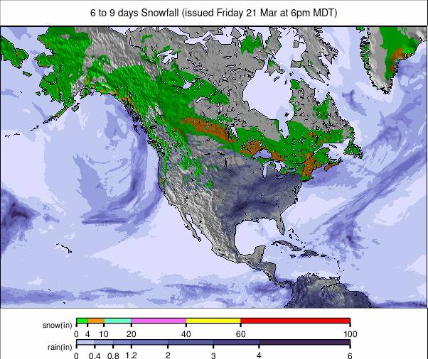
It’s been a second week of huge snowfalls in the West, with California seeing some of the biggest—up to 1.5 meters (five feet) dumped in total on high slopes over the last week, with accumulations even at lake level around Tahoe reaching 12" (30cm). Other parts of the West did well too, though, with Mt. Bachelor in Oregon reporting three feet (90cm) of snowfall in a short period. All the snowfall led to a lot of digging out and some delayed openings, with high avalanche and tree well danger off the prepped runs, but otherwise, the powder conditions are excellent. The continent's deepest base depths have also climbed back up to five meters on the Pacific coast. Plenty of snowfall was reported in the Rockies region as well, which, up in Wyoming, has taken Jackson Hole past the 400" mark. However, it's a very different picture further east, with some violent storms in the Midwest and very mild temperatures on the Eastern Seaboard.
ROCKIES REPORT
The Rockies have had another good week for snowfall, with some significant accumulations. Temperatures also remained mostly below freezing, keeping the fresh snow in good shape. Ski areas remain fully open across the region. In Utah, the largest ski area in the U.S., Park City (98/98" / 244/244cm), posted a 16" accumulation over the past three days, and further north, Wyoming's Jackson Hole (34/125" / 84/312cm) went through the 400" (10m) seasonal snowfall mark after reporting 18" (45cm) of fresh snowfall in the same period.
ROCKIES FORECAST
Remaining cold, with temperatures generally below freezing and a mixture of sunny spells and light snow showers for the remainder of this week and through the weekend.
WEST COAST REPORT
California saw huge snowfalls, as forecast, at the end of last week. China Peak (72/72” / 180/180cm) posted the biggest accumulation, with 42” (105cm) in 24 hours on Thursday-Friday, but more than 10 other Californian ski areas posted at least 24 inches (60cm) in the same period. There was snowfall further north, too, with Oregon’s Timberline Lodge (141/141" / 352/352cm) adding a foot (30cm) of snowfall in the same period, and snowfall was also recorded in Washington State. The fresh snowfall saw Mammoth Mountain (80/191” / 203/485cm) move back to posting the deepest snow in North America this season, having previously dropped behind Alaska’s Alyeska (8/162” / 21/404cm), which has now fallen to third. Washington State’s Mt. Baker (79/167” / 198/417cm) has moved into second spot.
WEST COAST FORECAST
Sunshine has returned to California and is expected to continue for the coming week. Further north, though, the snow will keep falling, with light accumulations of 2-4” (5-10cm) most days, but heavier falls are expected on Thursday-Friday.
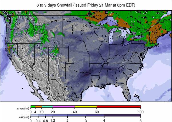
MIDWEST REPORT
After some warm temperatures recently, the northern Plains and parts of the Midwest saw a powerful winter storm that brought strong winds and blowing snow, creating blizzard conditions into last weekend. More than three-quarters of ski areas in the Midwest have already ended their seasons, and only about 20 remain open, some just on weekends. Of those still open, most report that 90-100% of their slopes are still skiable. Marquette Mountain (24/72” / 60/180cm) in Michigan is reporting the deepest snowpack in the region.
MIDWEST FORECAST
Remaining fairly cold, with temperatures close to freezing and highs in the low 40s. Most areas will be dry for the next few days, with snow forecast at the weekend.
EAST COAST REPORT
It's been mild along the East Coast in recent days, with temperatures getting up into the 50s. Fortunately, though, recent snowfalls in January and February mean most areas have plenty of snow lying to survive the thawing conditions. In fact, most are thriving, with almost all terrain open. New Hampshire's Loon Mountain (24/48" / 60/120cm) is posting the region's deepest snow, with Vermont's Killington (18/34" / 45/85cm) as usual posting the most terrain available, both with more than 89% of slopes currently skiable.
EAST COAST FORECAST
A day or two more of sunshine, but a temperature dip and snowfall are expected at the weekend and again at the start of next week, with overnight lows down as far as the high teens up high. Daytime highs are still getting into the 40s but not as warm as they have been.
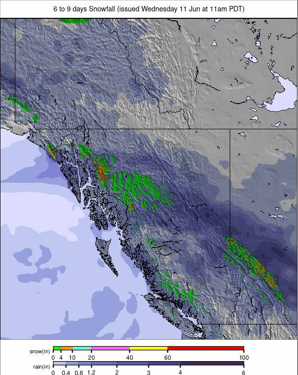
WESTERN CANADA REPORT
A great week in Western Canada, with regular snowfalls and temperatures remaining low, setting the area up for an epic springtime. Whistler Blackcomb (20/267cm / 8/107”), where the season still has two months left to run, has reported around 90cm (three feet) of snowfall over the past seven days, and it’s a similar story from other ski areas in Alberta and BC. It’s currently 95% open—the most terrain available in North America. Mount Washington (240/445cm / 96/178”) on Vancouver Island continues to post the deepest snowpack in the country and also one of the deepest in the world.
WESTERN CANADA FORECAST
The cold and snowy conditions are set to continue through the weekend, with 30-60cm (1-2 feet) more cumulative snowfall by the start of next week, as Western Canada’s excellent spring conditions continue. Temperatures will mostly range from -5°C to -10°C in the mountains.
EASTERN CANADA REPORT
It’s been another week of sunshine and showers across Eastern Canada, with some mild temperatures meaning many centers in the region have seen rain again rather than snow at times. Open terrain has been impacted, though, with some of the bigger areas closing slopes while they battle the elements. The region's largest resort, Quebec's Tremblant (180/300cm / 72/120"), continues to post by far the deepest snow, while the second-largest, Mont-Sainte-Anne (50/78cm / 20/32"), is reporting that it is down to two-thirds open this week.
EASTERN CANADA FORECAST
Sunshine and showers will continue, with temperatures ranging from -5°C to +10°C. Unfortunately, these daytime highs mean many centers will see rain, though often as snow showers over the coming week.


