Storms Dump Fresh Snow Across Western US as East Stays Mild
Updated February 26, 2025: Snow is piling up across North America - from massive dumps in the Rockies and Pacific Northwest to rising base depths in California. Read the full report here to find out where it's all happening.
- Pacific Northwest Scores Biggest Snow, But Winds Close Slopes
- Rockies Unlock Extreme Terrain as Snowfall Keeps Coming
- Mammoth Tops North America’s Snow Depths After Huge Storm
- Western Canada Gets Its Snowiest Week of the Season
- Midwest & East Coast Hold Strong with Fresh Snow & Prime Conditions
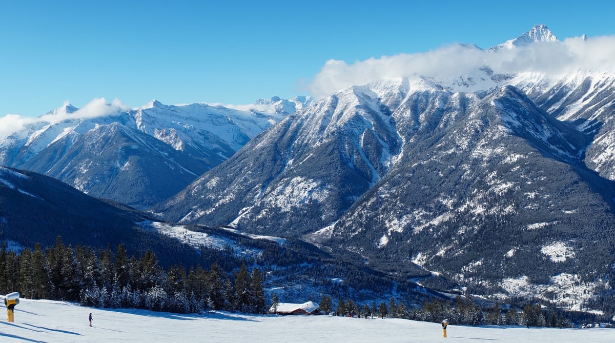
NORTH AMERICA OVERVIEW
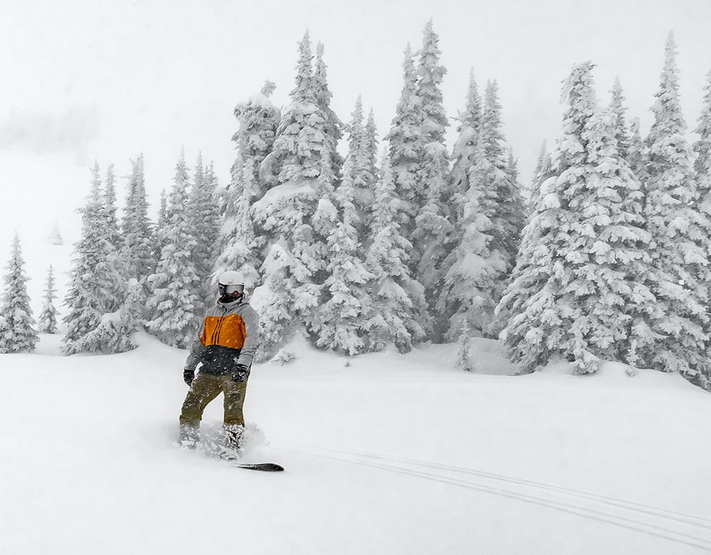
After the big snowfalls across much of North America last week, it has been quieter for most areas. That's not to say the snowfall has stopped altogether, with more arriving in the Northeast, another few feet in the Rockies and some of the biggest accumulations of the last seven days up in the Pacific Northwest once again, with Western Canada doing particularly well at the end of what had been a rather dry February. Other weather factors have come into play at times though with galeforce winds closing slopes in Oregon and Washington states on Tuesday. The big snowfalls in California have led to a jump in base depths after the numbers seemed to stall at maximums of around 10 feet (3 metres) for past the few months. The deepest, at Mammoth Mountain (105/183" / 262/457cm), follows the six feet of snowfall there and lots of other ski areas, including centres in the Pacific Northwest, Alaska and The Rockies have passed the 120 feet (3m) marker too.
ROCKIES REPORT
The big snowfalls in The Rockies over the past few weeks have led to high avalanche danger but also enabled centres to open some of their more challenging terrain, having made them safe, now the snow cover is good. In Crested Butte Mountain Resort in Colorado’s case, that means ski patrol has dropped the ropes on some of the resort’s most iconic runs, including Banana, Funnel, Total Recall, and Sunset Ridge. It's the same story for many other ski areas across the region. The past week has seen the snow continuing to fall if not as heavily as before and prolonged periods of sunshine between showers. Base temperatures have also been climbing up into the 40s in the afternoons. Colorado’s Keystone (58/58” / 170/170cm) and Breckenridge (57/57” / 168/168cm) each reported about a foot (30cm) of snowfall at the weekend, one of the biggest accumulations of the last seven days.
ROCKIES FORECAST
It currently looks like a fairly dry and sunny end to the week for most of the Rockies and the longer-term forecast isn't looking that promising with above-average temperatures expected for March, according to the US National Weather Service, at least at the southern end of the mountains. Daytime highs reach the mid-upper 40s Fahrenheit by the weekend.
WEST COAST REPORT
Most of the weather action on the West Coast this week has been in the Pacific Northwest corner of the region which has seen some big precipitation events since the weekend. The issue though has been warmer temperatures than we'd like bringing heavy rain, rather than snow, to ski slopes in Oregon, Washington State, and even Alaska at times. Strong winds were also an issue with Timberline one of those closed because of them on Tuesday. But despite that, there have been several feet of snowfall at higher elevations. West Coast resorts dominate the current North American snow depths table. It’s topped by Mammoth Mountain, as mentioned above, with Oregon’s Timberline (82/148” / 205/370cm) in second place, good news, if it continues growing, for the upcoming spring and summer ski season there.
WEST COAST FORECAST
It's currently looking like it should be mostly dry and sunny along most of the west coast for the remainder of the week. Temperatures remain on the warm side, reaching the high 30s on upper slopes and getting well into the 40s at resort bases, so some thawing is expected.
MIDWEST REPORT
After the cold temperatures of recent weeks, the weather has finally started warming up in the Midwest. In most cases, that means climbing back up to highs of around freezing, and only getting down into the low 20s overnight rather than the single digits and even negative numbers we saw earlier this month. There have been some good snowfalls over the past week in many areas, keeping cover fresh, and most midwestern areas report all slopes open. When the snow hasn't fallen there have also been sunny days to enjoy. Michigan’s Mount Bohemia (70/70” / 175/175cm) is claiming the region’s deepest snow and most tails open, numerically at least, all 105 of their runs are currently skiable.
MIDWEST FORECAST
It's looking like a snowy end to the week for ski areas in parts of the Midwest. Michigan looks like it should do especially well with 6-12" (15-30cm) accumulations by the weekend. Sunnier in parts of Wisconsin and Minnesota.
EAST COAST REPORT
Snow showers and sunny spells have been this week's theme at Northeastern ski areas. Temperatures have again been very low, getting down to single figures Fahrenheit overnight on high slopes, but we have been seeing warmer temperatures in the valleys, climbing back up above freezing. Conditions remain excellent overall, the best of the season, with all ski areas in the region fully open. Whiteface (40/54” / 100/135cm) in New York State is posting the deepest snow in the region, Killington (14/30” / 35/75cm) in Vermont has the most terrain open with 100% of its runs open.
EAST COAST FORECAST
More of the same later this week – sunshine and snow showers – the latter probably quite light, just an inch or two (2-5cm) each day. There are some concerns that daytime highs could mean periods of light rain rather than light snow at times, but we should also see lows getting down 20 below freezing overnight.
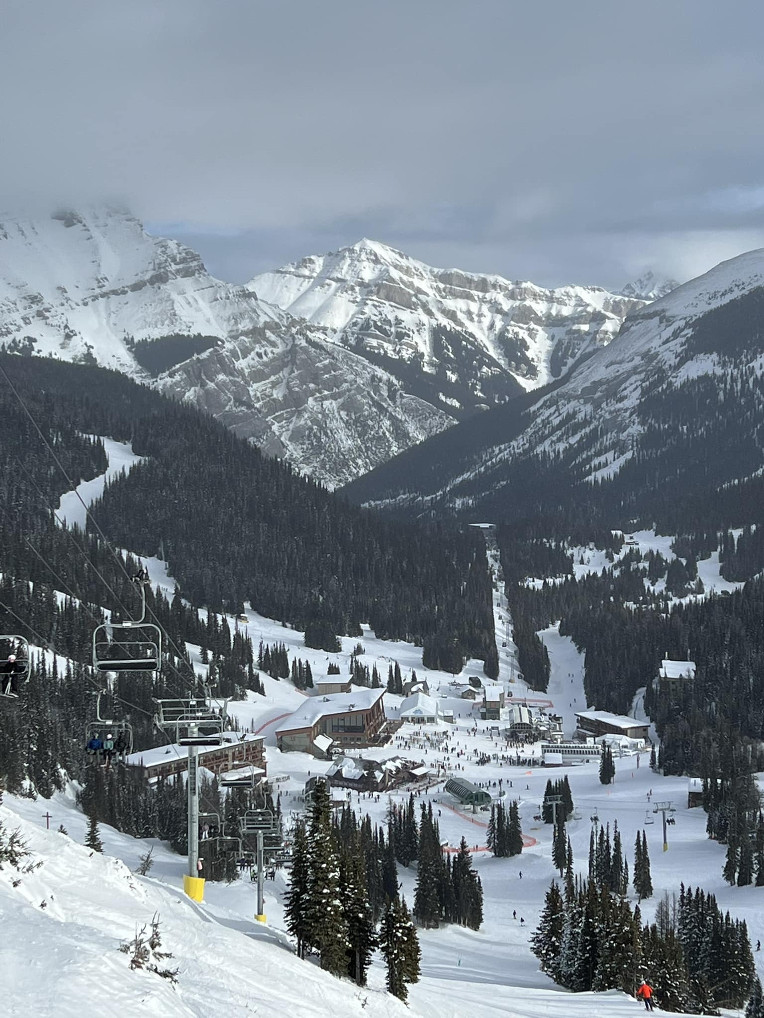
WESTERN CANADA REPORT
It’s been one of the snowiest weeks of the year so far and certainly of February in Western Canada, with several ski areas in BC posting 40-50cm (16-20") snowfall accumulations through the weekend and the first few days of this week. Revelstoke (175/175cm / 70/70") and Fernie (212/212cm / 85/85”) were among the areas reporting big gains, but it was the same across BC and much of Alberta. Conditions are excellent in both provinces with the fresh snowfall, temperatures staying low and most resorts 100% open.
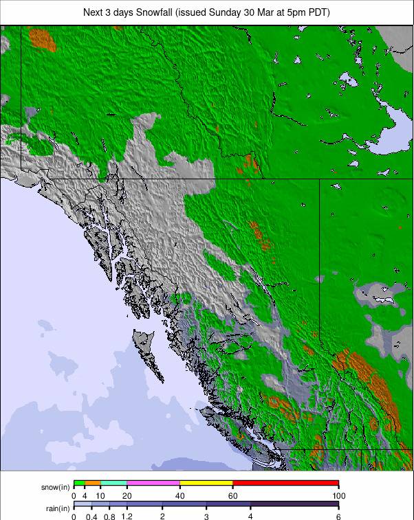
WESTERN CANADA FORECAST
It’s looking much drier for the remainder of this week and into the weekend, temperatures will typically be in the -10 to -2C range on higher slopes inland, getting just above freezing at bases, but warmer on the coast where Whistler may see +8 or +9C at village level.
EASTERN CANADA REPORT
After the big snowfalls last week that saw Canadian ski areas post bigger accumulations than those in the west, there's been a bit of a reverse over the last seven days with much drier conditions in the east. It has though remained very cold and the snow has kept falling, just by the centimetres rather than the foot! Tremblant (140/250cm / 56/100”) continues to post the region’s deepest snow and also has the most terrain open, 95% of its slopes.
EASTERN CANADA FORECAST
More significant snowfall is expected to return to Eastern Canada in the latter half of this week with daily accumulations of 5-10cm (2-4"). Temperatures remain predominantly subzero and potentially still dropping down below -20C on high runs overnight.


