North America Weekly Roundup #280
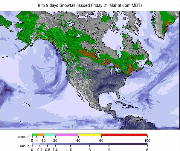
Updated February 12, 2025: Rockies revel in heavy snow, Jackson Hole hits 39” (98cm), while West Coast preps for a 3-foot (90cm) dump. East Coast eyes a foot (30cm) of fresh powder!
La Niña strikes—New Mexico ski area forced to close due to dry spell
- The Rockies are feeling lucky- Jackson Hole bags nearly 40” in huge snowfall
- West Coast rebounds: 3 feet of fresh snow incoming for California
- Eastern Canada braces for best snowfall of the season—30cm incoming
- Frigid Midwest sees nonstop snowmaking—Michigan boasts deepest base
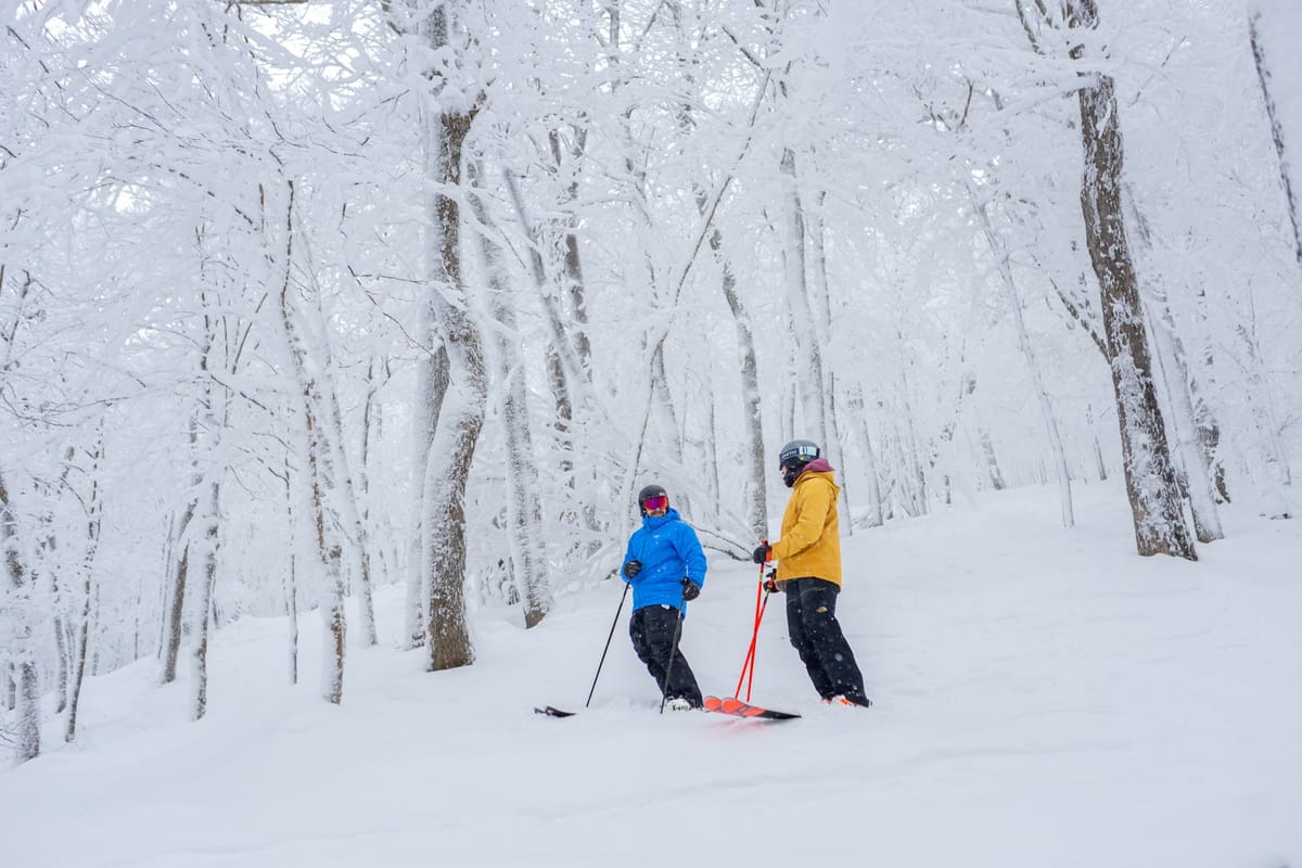
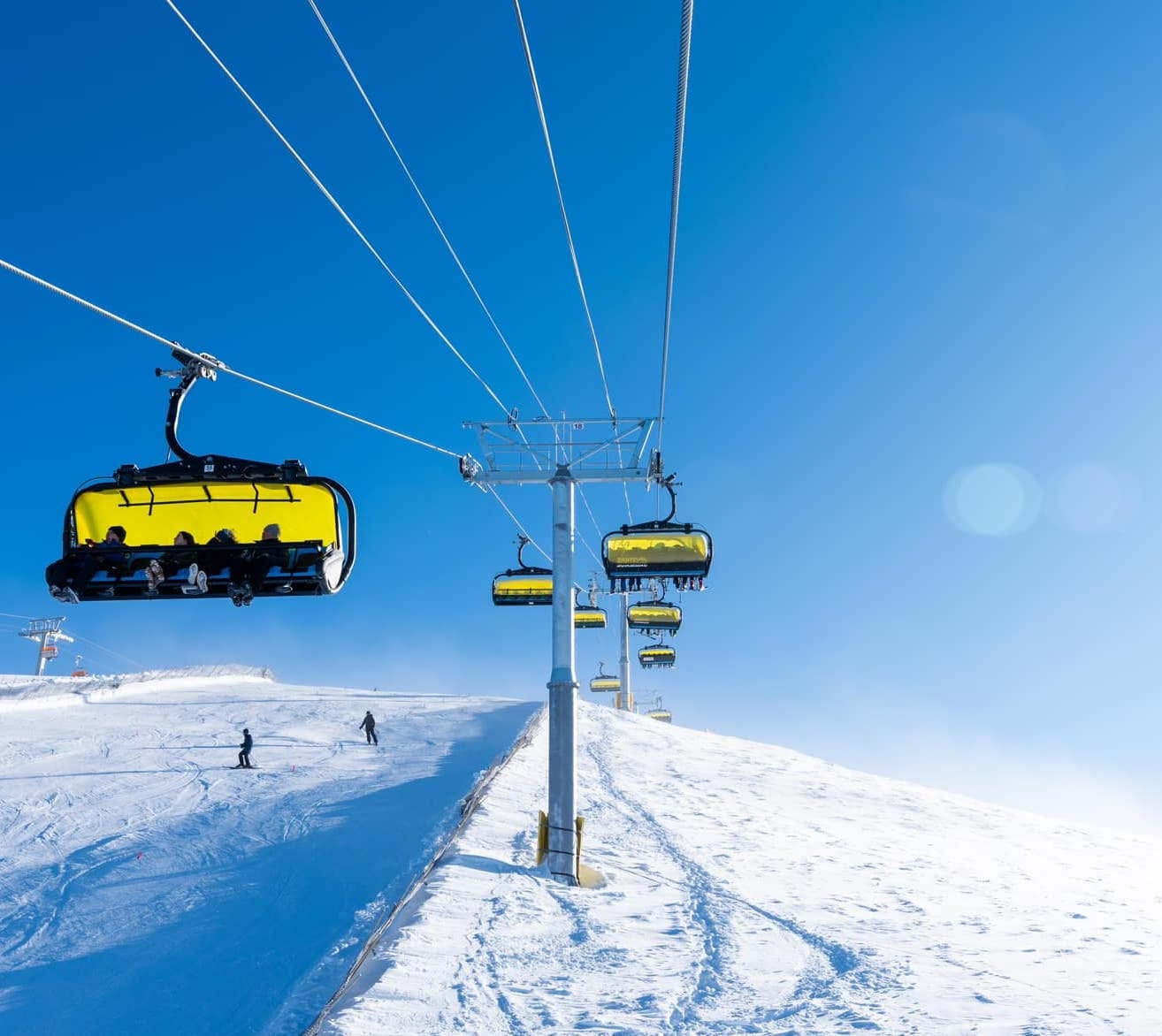
NORTH AMERICA OVERVIEW
Cold temperatures continue to be a big factor across North American ski slopes, with numbers still dipping below 0°F at times in the north and reaching 20 degrees or more below freezing almost everywhere else. That said, the La Niña impact of dry weather through the season for some southerly resorts is unfortunately being felt, with at least one ski area in New Mexico forced to close until conditions improve. A little further north in Colorado, however, the past week has seen one of the best snowfalls of the year, refreshing the cover there. Further north in the Rockies region, the falls were even heavier, but getting up into Canada, it's been a largely dry and very cold week. Elsewhere, the West Coast saw some decent snowfalls at the end of last week after a seven-day atmospheric river that had brought a lot of rain and wind earlier on—so a bit of a happy ending. The East and Midwest have also experienced very cold temperatures, with decent 6-12" (15-30cm) snow accumulations this week.
ROCKIES REPORT
The Rockies region has continued to see some of the best snowfalls in the U.S., with resorts further north tending to do much better than the still relatively dry Colorado and areas further south, where snow depths are currently averaging about 60% of normal. That said, Colorado ski areas did see one of their best snowfalls of the (mostly largely dry) past few months, with cumulative totals nearing a foot (30cm) of fresh snow, providing a great slope refresh. Further north, Jackson Hole (80/100” / 200/250cm) reported 39 inches (98cm) of snowfall in the seven days leading up to last weekend—one of the biggest in North America for the first part of February—although it has been drier there this week.
ROCKIES FORECAST
A mixture of sunny spells and snow showers is expected through the remainder of this week and the coming weekend, with the freezing point anywhere between 5,000 feet and sea level—but typically below the lowest lifts. In other words, temperatures will continue to stay below freezing 24/7. Accumulations of 2-4” (5-10cm) daily are expected.
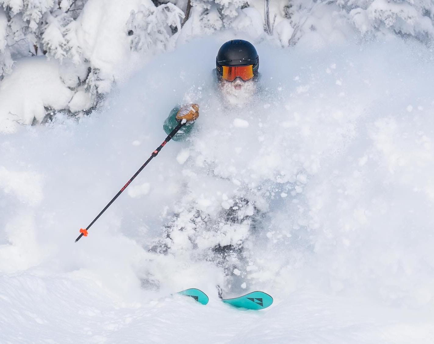
WEST COAST REPORT
The week-long atmospheric river, also known as the "Pineapple Express" of moisture-laden air hitting the West Coast from the Pacific, became more generous with its snow delivery in the latter half of its impact on California and other ski states. Initially bringing mostly rain and gales, conditions turned more wintry in the latter half of last week. Palisades Tahoe (20/100” / 50/250cm) posted a 26” (65cm) accumulation in 48 hours during the final days of the storm, which finally petered out by the weekend, allowing ski centers to assess conditions and reopen terrain. Palisades went from only 13% open at the start of last week to 73% by the end.
WEST COAST FORECAST
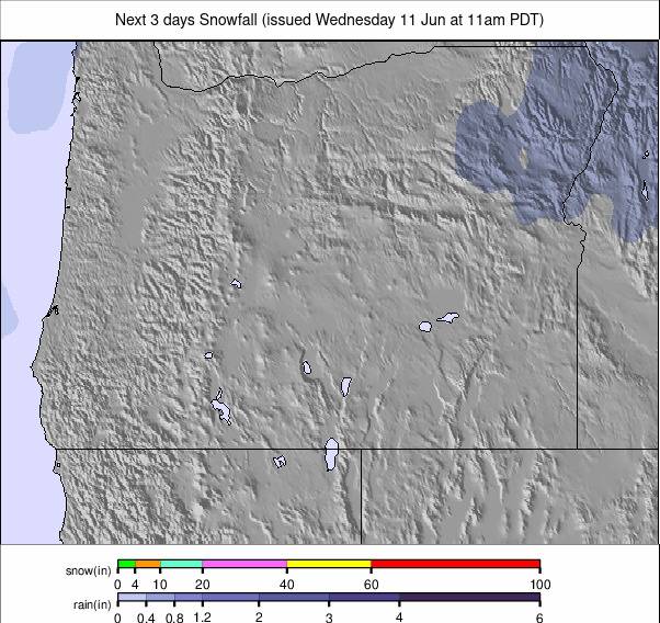
After the recent return to sunny weather, a fresh front is expected to bring a brief but intense pulse of precipitation to California, potentially delivering 3 feet (90cm) or more of snowfall in just 36 hours in the latter half of this week before skies clear again. However, it remains to be seen if this system will outperform last week's. Further north in Oregon and Washington, snowfall will return and, unlike in California, continue through the weekend. However, accumulations will be more measured, with 6-12” (15-30cm) expected per day.
MIDWEST REPORT
Very low temperatures continue to be a dominant weather factor in the Midwest, with lows dropping to single digits—and sometimes even below 0°F again. Most areas have seen some snowfall, but there have also been plenty of sunny days with frigid temperatures. What snowfall there has been has mostly been limited to the odd inch (2cm) rather than any major accumulation. Temperatures have been favorable for snowmaking, ensuring that most ski areas in the region have all slopes open. Michigan ski areas have the deepest snow in the region, with Crystal Mountain (46/58” / 115/145cm) posting the deepest overall.
MIDWEST FORECAST
It will stay cold in the Midwest, remaining dry in more southerly areas but with snowfall continuing further north, particularly in parts of Michigan and Wisconsin. However, at least some snowfall is expected almost everywhere, though it will be more continuous in Michigan. Accumulations won't be large but will refresh slope cover, with 2-6 inches (5-15cm) expected daily—usually at the lower end of that range.
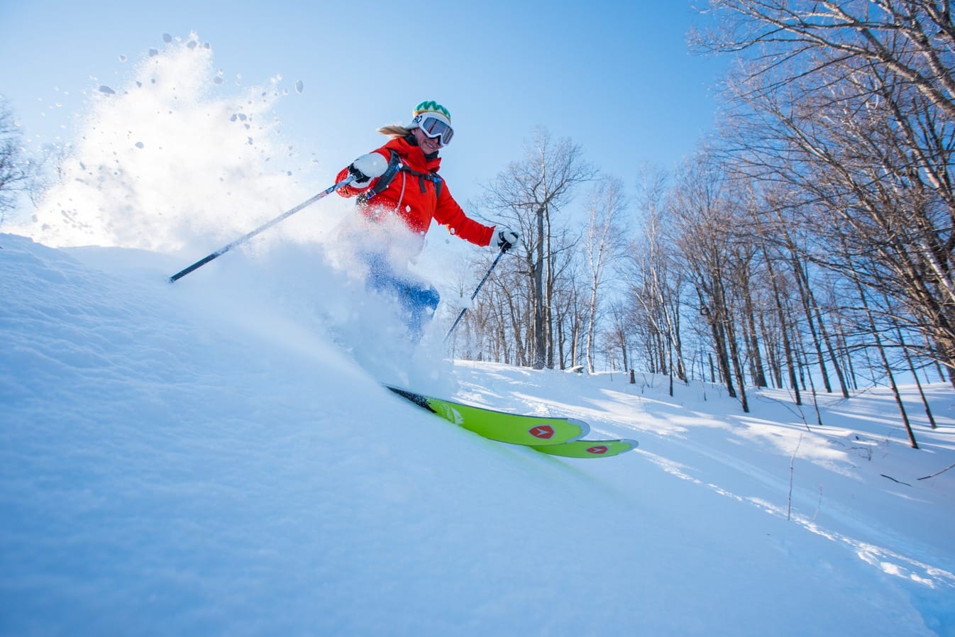
EAST COAST REPORT
It has been another good week in the Eastern U.S., with low temperatures, some good snow showers, and sunny spells in between to enjoy it all. Accumulations of 2-4 inches (5-10cm) have been typical, with temperatures once again dropping toward single digits Fahrenheit. Base depths are still not spectacular, with many centers getting by with less than a two-foot (60cm) base, but most have 90% or more of their slopes open. Conditions are good with the fresh snow cover and low temperatures. Vermont's Killington (10/21" / 25/53cm), the largest resort in the region, is now 100% open. Stowe (18/46" / 70/115cm) is 95% open and boasts the region's deepest snow.
EAST COAST FORECAST
A snowy forecast lies ahead for the week, with only Friday expected to bring a dry, sunny day. Otherwise, low temperatures and 2-6 inches (5-15cm) of snowfall are expected daily into next week, with the potential for over a foot (30cm) of fresh cover by Monday.
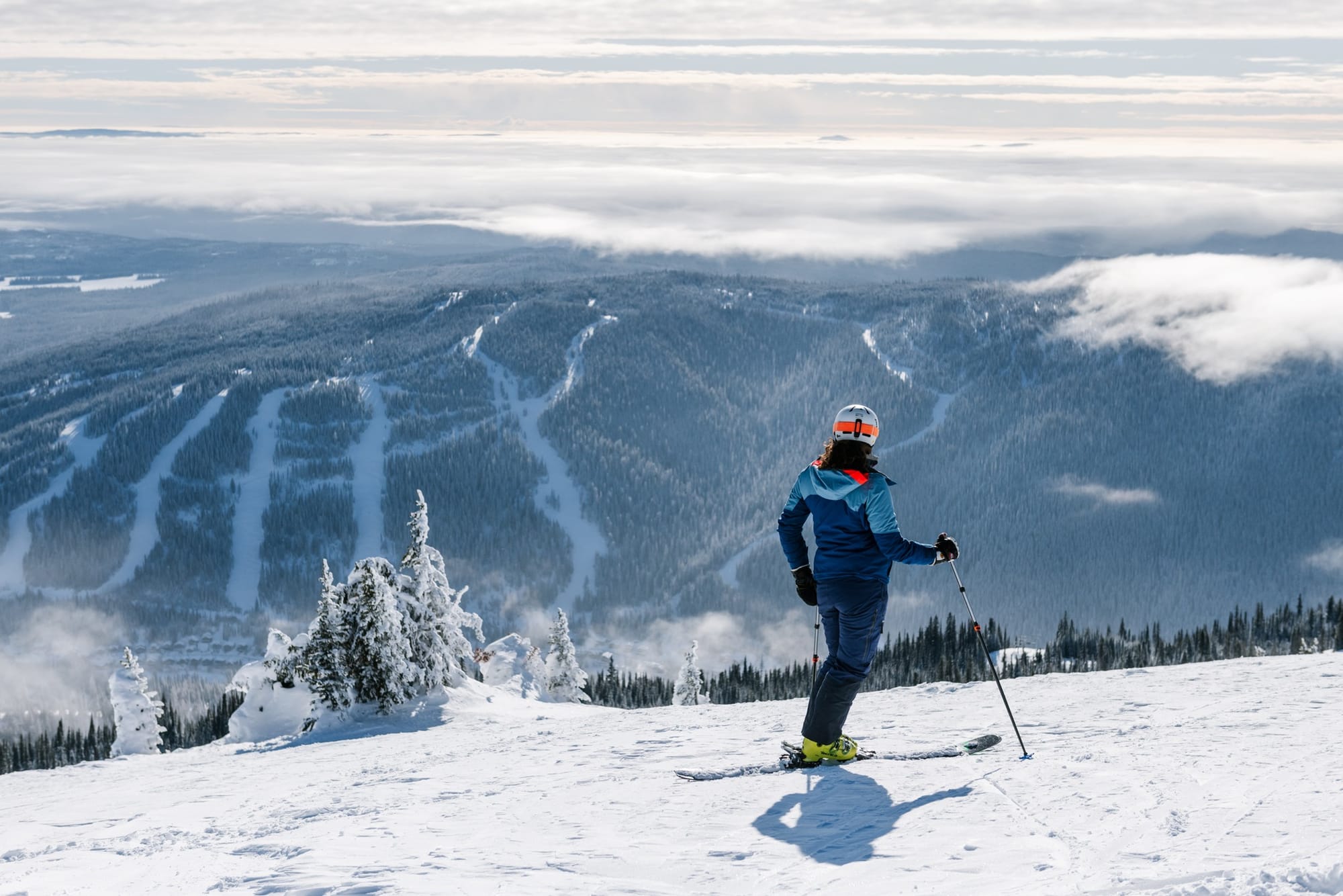
WESTERN CANADA REPORT
After some decent snowfalls last week—when some resorts posted more than 60cm (two feet) in seven days—it has been a much drier week this week. However, low temperatures have continued, often dropping well below -20°C at times. Conditions remain excellent, as witnessed by the Freeride World Tour in Kicking Horse last weekend. Most ski areas in Alberta and British Columbia are fully open, though a few—most notably Banff’s local ski hill, Norquay—are struggling to open terrain. Mount Washington (195/240cm / 78/96”) on Vancouver Island currently has the deepest snowpack in both Canada and North America.
WESTERN CANADA FORECAST
Temperatures will remain cold, generally below freezing, often in the teens below, for the coming week. It will stay dry in the west, although a front is expected to bring a period of light to moderate snowfall over the weekend.
EASTERN CANADA REPORT
It has been another very cold week in Eastern Canada, with overnight lows reaching as far as -30°C in higher elevations—though more commonly hovering between freezing and -20°C. There has been little to no snowfall for most areas, with plenty of sunshine instead. Most ski areas in Eastern Canada are now 95-100% open, thanks to snowfall and excellent snowmaking conditions since the start of the year, which have helped recover from the tricky warm and wet weather spells before Christmas. Most resorts still report base depths of less than 50cm (20"), but the largest center, Tremblant (98/205cm / 39/82"), is far ahead of the rest in terms of snow depth.
EASTERN CANADA FORECAST
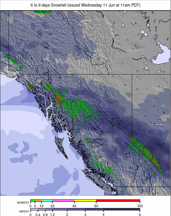
Some of the heaviest snowfalls of the season so far are forecast for the coming week, with a particularly heavy bout expected this Thursday. Skies should clear on Friday before more persistent snow showers begin over the weekend. While weekend snowfalls will be lighter than Thursday’s, which could bring as much as 30cm (a foot) in 24 hours, they could add up to the same total over 2-3 days. This will likely bring the best snowfalls of the season so far, creating a powder paradise next week—although temperatures will remain very low, dropping to around -25°C at times.


