North America Weekly Roundup #277
Updated January 24, 2025: This week Arctic blasts brought once-in-a-lifetime snow to southern states, subzero temps helped with snowmaking, and North America's largest resorts hit peak terrain openings. Read more now.
West Coast Tops Snowfall Charts, Rockies and Midwest Hit Peak Conditions
- Frigid Temperatures Across North America: Arctic air brought extreme cold, closing some resorts temporarily but enabling excellent snowmaking and record snowfall in southern states like Louisiana.
- Peak Ski Conditions in Rockies and Canada: Park City Mountain fully reopened after resolving labor disputes, while Revelstoke and Whistler Blackcomb lead with near-full terrain availability.
- Snowfall Leaders on the West Coast: Mt. Baker and Alyeska boast the deepest snowpacks, with Oregon and Washington resorts dominating the U.S. snowfall totals.
NORTH AMERICA OVERVIEW
Very cold temperatures, the kind that drove the presidential inauguration indoors and then some, were the main weather factor across North American ski areas this week. They also led to the temporary closure of resorts in Montana and some other states for safety reasons and brought ‘once in a lifetime’ snowfall to some southern states like Louisiana. Temperatures dropped below 0F (-18C) overnight on higher altitude and northerly latitude slopes as cold air blasted down from the Arctic. Most of the snowfall reported was moderately light but obviously, snowmaking conditions were excellent allowing resorts to build bases as they wished. It's also been the best week of the season so far in terms of open terrain with the country's largest ski area, Park City Mountain in Utah, fully open for the first time this winter, having resolved its industrial dispute with the ski patrol unions. Up in Canada Revelstoke has passed the 6 metres/20 feet seasonal snowfall to-date mark as its great season continues and Whistler Blackcomb, the largest in the continent, is close to fully open.
ROCKIES REPORT
Some very cold temperatures in the Rockies this week, dropping below 0F at times overnight on higher slopes, and well below freezing at all levels at all times too. Not much fresh snowfall this week but snowmakers have been happy with the low temperatures and ski areas. The region’s and America’s largest ski area, Park City Mountain (52/52” / 130/130cm) has leapt from 50 of its 250 runs open to all 250 open now, so it is finally offering the most terrain in the US this season, after its ski patrol strike was resolved and it received enough snowfall to open more runs too. Most other resorts in the Rockies are also fully open, or nearly so, with Colorado’s Aspen (22/48” / 55/120cm) and Vail (65/135cm / 26/54”) in second and third place respectively in the region for the amount of skiable terrain each has open.
ROCKIES FORECAST
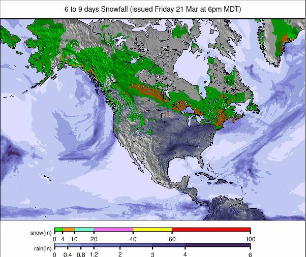
Mostly sunny and remaining very cold through the remainder of this week and into the weekend, the first signs of any snowfall are early next week. Very cold still with overnight lows down to below 0F on higher slopes and remaining well below freezing even at base levels in the daytime.
WEST COAST REPORT
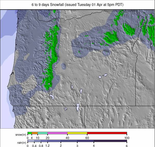
A mostly sunny week right along the West Coast, with temperatures predominantly subzero, but rising a little at the start of this week when some Californian resorts reported daytime temperatures into the 40s at base elevations. The region continues to post America’s deepest snow in Oregon and Washington state. Mt Baker (92/122” / 230/305cm) has now passed the 10 feet base mark and had the deepest reported snow on the North American mainland. The six biggest snowfall totals in the US season-to-date are all on the country’s Pacific Coast and topped by Alaska’s Alyeska Resort which has passed 305” (710cm). Summer ski destination Timberline in Oregon has had 270” (686cm) and Mt Baker in Washington State is in third sport for snowfall on 254 inches (643cm).
WEST COAST FORECAST
Plenty of sunshine on the West Coast again this coming week and some rather warm temperatures at base levels, getting into the 40s, although overnight lows should still drop well down below freezing. There's little snow in the forecast, just the occasional light flurry, but things are starting to look more unsettled towards the weekend.
MIDWEST REPORT
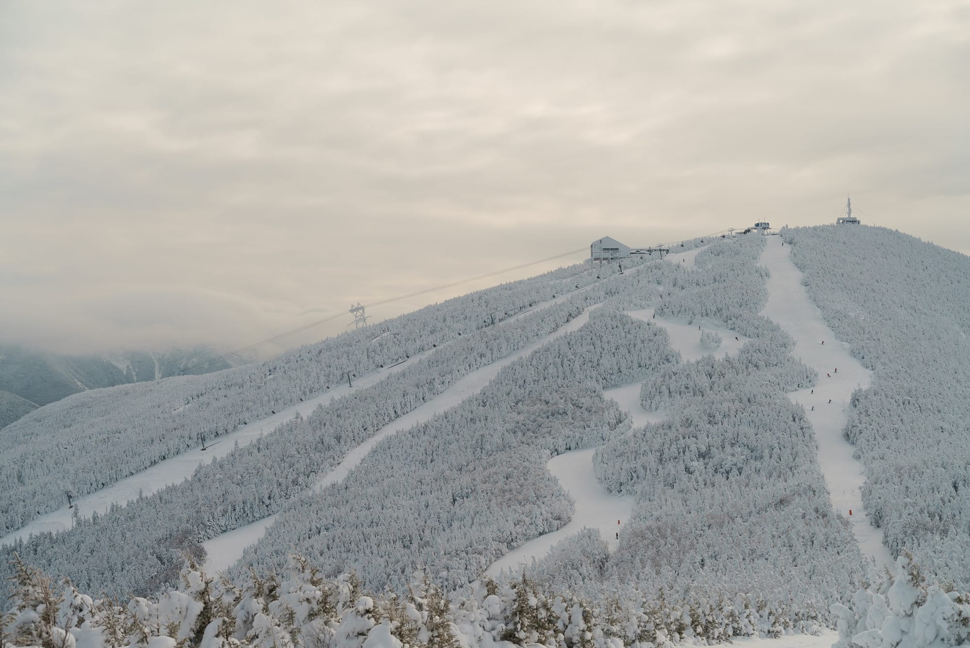
Lake-effect snow continued to impact parts of the Midwest over the last week with ski areas in Michigan seeing up to a foot (30cm) of snowfall in the latter half of last week. It's also been bitterly cold at times allowing snowmakers to operate up to capacity and more of the region's areas to fully open. After ski areas in Michigan have posted the deepest snow and most open terrain this season to date, this week has seen centres in other states jump ahead on that depth stat with a number reporting that following fresh snowfall and snowmaking they now have five feet (1.5m) lying including Snow Creek (60/60” / 150/150cm) in Missouri, Boston Mills (60/60” / 150/150cm) and Brandywine (60/60” / 150/150cm) in Ohio and Minnesota’s Lutsen Mountains (24/60” / 60/150cm). Most are fully open too.
MIDWEST FORECAST
The bitterly cold temperatures are forecast to continue with lows down as far as -10C, so full-on winter. Light to moderate snowfall will also keep dumping through the coming week with 1-6” (2.5-15cm) accumulations expected most days.
EAST COAST REPORT
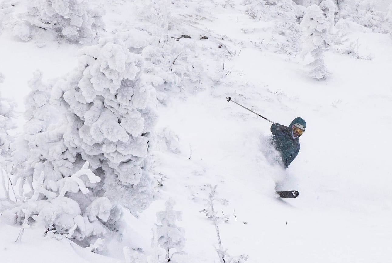
Conditions are the best they’ve been all winter to date in the Eastern US. Lake-effect snow continued to impact parts of the Northeast too with northern New York State and parts of Pennsylvania getting g the best of it last week. Beyond this, light snow has kept falling in the wider region, with a heavier fall to start the week after the previously threatened blip of the familiar warm-temperature spikes at the end of last week did not materialise. Vermont’s Jay Peak Resort was one of the big winners reporting over 20" (50cm) in 48 hours at the end of last week as part of a 3 feet (90cm) snowfall total for the week. There remains a big variation in what’s open, with some centres like Sugarloaf (10/16” / 25/40cm) still posting less than half their terrain open, but more are getting ever closer to full operation. They include the biggest, Vermont’s Killington (4/14” / 10/35cm) which has hit 90% open despite its retorted thin cover.
EAST COAST FORECAST
Cold temperatures and mostly light snowfalls are forecast for the remainder of the week. Temperatures are down towards 0F at times with just the odd inch (2.5cm) or so of fresh snowfall expected most days.
WESTERN CANADA REPORT
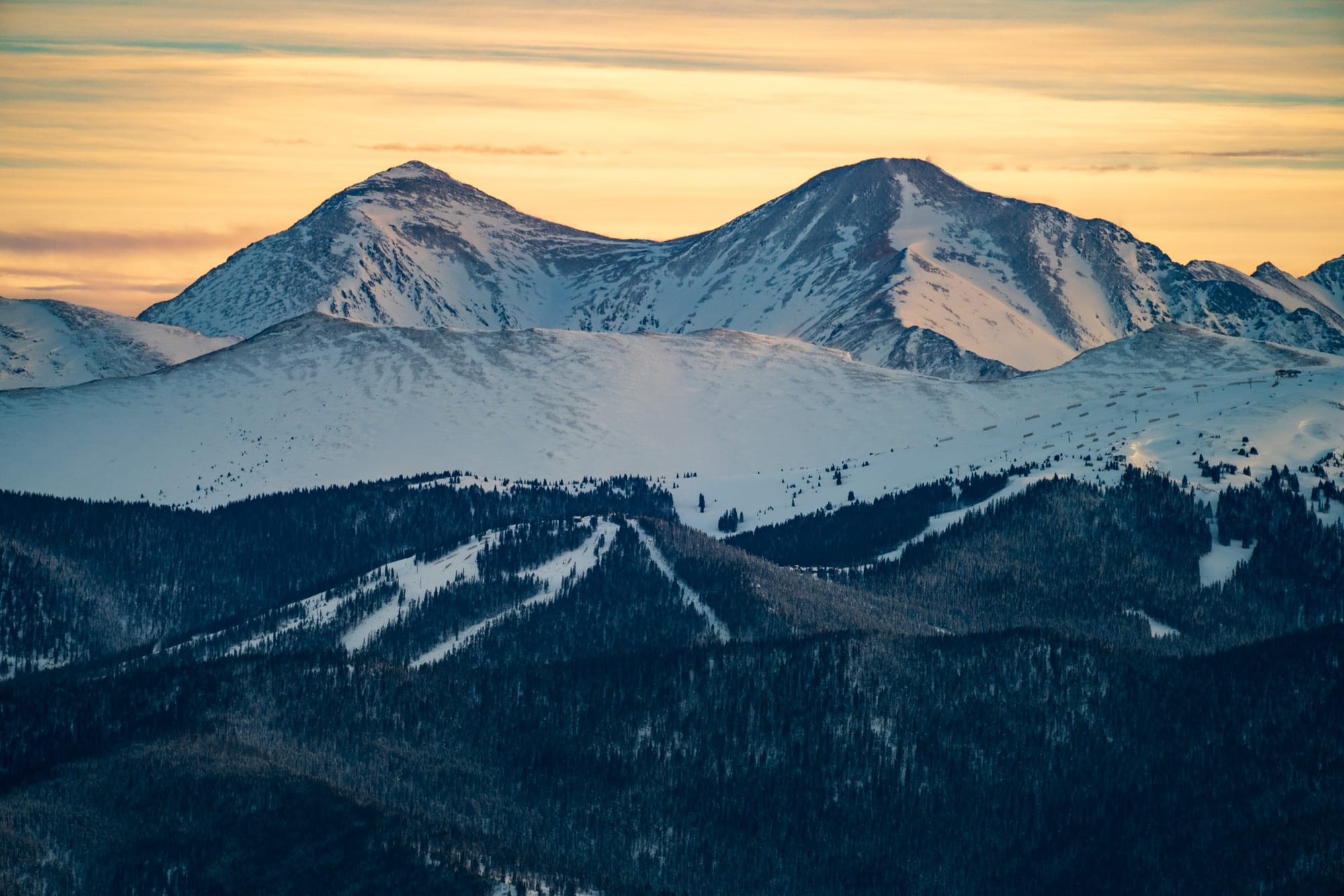
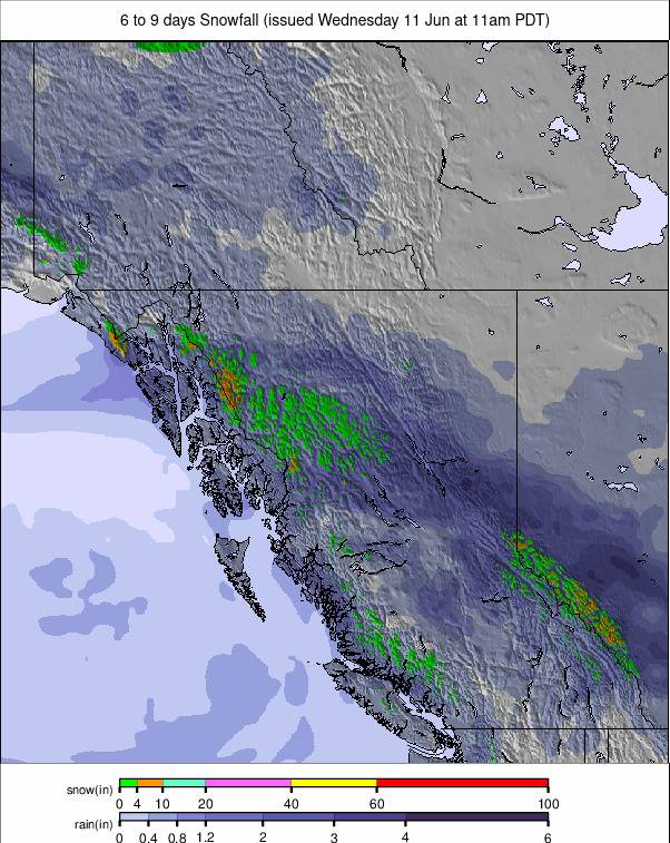
A cold and frequently snowy week in Western Canada with strong winds closing lifts at times but the overall picture is very positive, with most areas fully open and reporting good conditions. Snowfalls did not add up to huge amounts but added healthy 10-20cm (4-8”) accumulations to keep things fresh. Temperatures have been low though, not getting above freezing in most cases and dipping as low as -20C overnight on higher ground. That’s all kept the snow in great condition. Mount Washington (116/320cm / 46/128”) on Vancouver Island continues to post the deepest snowpack in North America and is 100% open. Whistler Blackcomb (20/170cm / 8/68”) has more than 8,000 acres/90% of its terrain open, the most in North America.
WESTERN CANADA FORECAST
Mostly dry with plenty of sunshine for the remainder of this week. Remaining very cold with temperatures predominantly in the freezing to -20C range.
EASTERN CANADA REPORT
It’s been bitterly cold at times, with temperatures reaching -20 to -30C, and there have been regular light snow showers in eastern Canada. The region’s ski areas still remain behind the seasonal average for snowfall, snow depth and open terrain after the warm and dry or wet autumn stopped early-season snow build-up, but things continue to look up. The largest resort, Tremblant (60/140cm / 24/56"), is more than 85% open and some smaller centres down in the Eastern Townships, including Mont Sutton, have reached 100% operation. It reports that since January 2nd, it has snowed abundantly and intermittently all over the mountain, bringing a total of 134cm (54”) of snow accumulated at altitude and 169 cm (68”) at the summit. Over in Ontario Blue Mountain (60/90cm / 24/36”) is also close to fully open – at 95%.
EASTERN CANADA FORECAST
Remaining very cold, well below freezing, with plenty of sunshine but some light snowfall in the forecast, just 5cm (a few inches) or so. That’s expected on Thursday and again at the weekend.

