North America Weekly Roundup #276
Updated January 15, 2025: Snowstorms in the Midwest, sunny skies in the West, and record snowfall at Mt. Washington! Get the latest on North America's snow conditions.
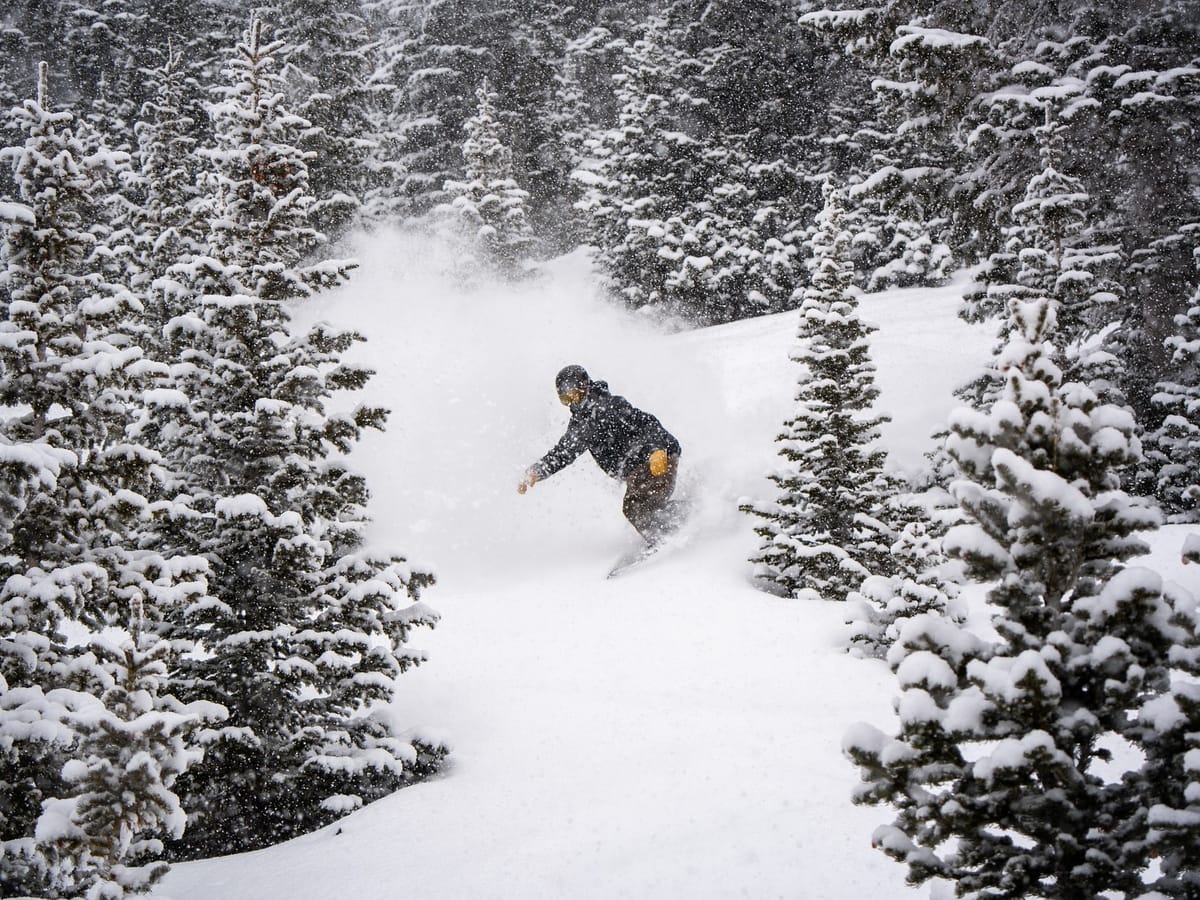
East to West: Unseasonable Snow Hits Rare Spots and Powers Ski Resorts
- Snowbird Hits Massive 2 Feet Fresh in 72 Hours, Rockies in Full Swing!
- Mt Baker Leads with Deepest Snow, California's Palisades Opens 90% Terrain.
- Lake Effect Snow Hits Midwest: 20” in 24 Hours, Crystal Mountain 100% Open!
- Tremblant Nears 85% Open, Eastern Canada Back on Track with Fresh Snow!
- Whistler Nears Full Open, Western Canada’s Deepest Snow at Mt Washington.
NORTH AMERICA OVERVIEW
North America's weather news this week has, of course, been dominated by the horrific fires around Los Angeles, as well as snowfall in the south and east of the country in states that rarely see snow. The latter was probably good news for those skiers and riders trying to ski every state and looking for those occasional snowfalls to get some turns in while it lasts. In terms of the main ski regions, though, it has been a fairly quiet week, although with some good accumulations aided by low temperatures in the Northeast, allowing more ski areas in that region to claim they have every run open for the first time this season. Parts of the Midwest also benefitted from Lake Effect snow tied to Storm Blair, and there's been more gradual improvement of conditions in the West and the Rockies too.
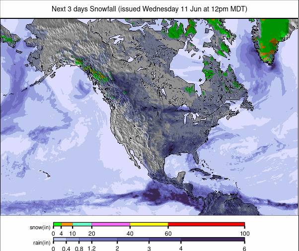
ROCKIES REPORT
The Rockies have reported some of the best snowfalls in the world over the past few days. Utah’s Snowbird (67/67” / 168/168cm) posted one of the world’s biggest accumulations over the weekend, with almost two feet (56cm) of fresh snow falling in 72 hours. Wyoming's Jackson Hole and Steamboat in Colorado got almost as much. Most ski areas in the region are now either fully open or close to it, some two months after starting their seasons, as bases have gradually grown and grown through the weeks despite no particularly sizable accumulations at any one time.
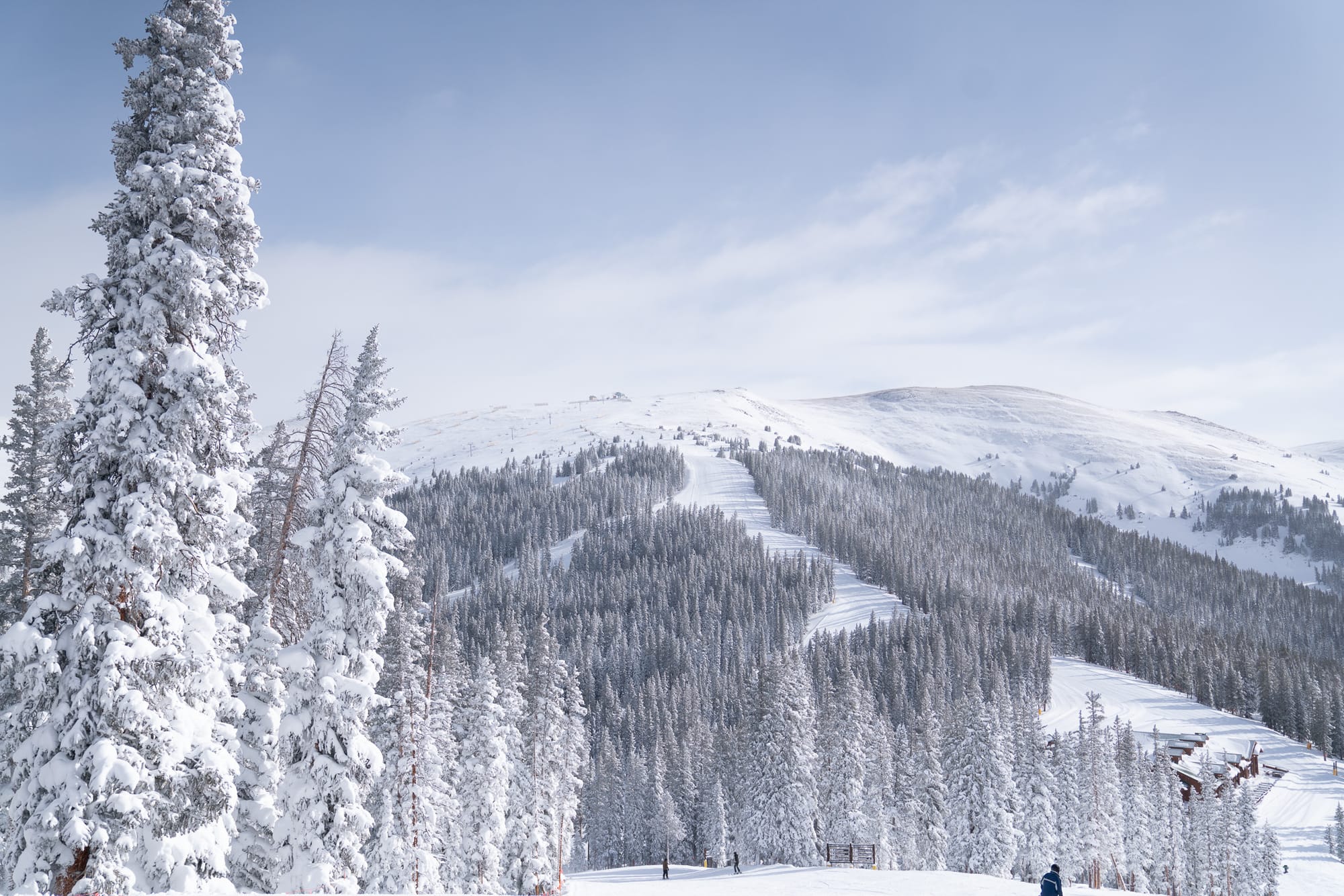
ROCKIES FORECAST
The next few days look set to be predominantly sunny, with temperatures as low as 30 degrees below freezing on high slopes overnight and generally subzero 24/7. A weak front will bring light snowfall to the Rockies towards the end of the week.
WEST COAST REPORT
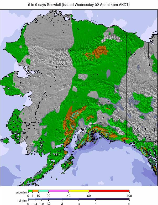
The Pacific Northwest continues to post the deepest snow in the country, topped by Washington State's Mt Baker (92/104" / 230/310cm). There have been some light snow showers for Oregon and Washington, but the past few days have been mostly sunny, with temperatures in the 20s and 30s Fahrenheit. Further south in California, it has been dry and sunny with strong winds as an occasional factor. Palisades (20/71” / 50/178cm) is reporting the most terrain open on the West Coast, now up to nearly 90% of its slopes.
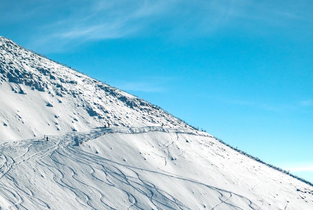
WEST COAST FORECAST
It will continue to be mostly sunny in California, with lows in the high teens and highs in the upper 30s Fahrenheit. Sunshine further north too in Oregon and Washington state, as well as Alaska, but temperatures here are five degrees or so lower.
MIDWEST REPORT
The Midwest saw some of its coldest and snowiest weeks of the season thanks in part to Storm Blair, in part to the Arctic vortex moving very cold air south to the region, and in part to Lake Effect snow from the Great Lakes. Michigan saw some of the biggest accumulations, with up to 20” (50cm) in 24 hours reported. Crystal Mountain (42/50” / 1905/125cm) reported another 6” (15cm) of snowfall on Tuesday and has one of the deepest snowpacks in the region, and is 100% open.
MIDWEST FORECAST
The cold temperatures are expected to continue into next week, with light snowfall bringing a few more inches of fresh cover most days to the region. Most areas remain close to their seasonal average snowfall totals at this point in the winter.
EAST COAST REPORT
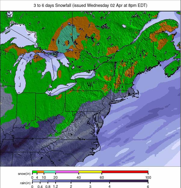
It’s been a good week for the Northeast with cold arctic air repeatedly making its way south and delivering some significant snowfalls to the region, as well as bringing snowmaking-friendly temperatures. Upstate New York did particularly well with repeated instances of Lake Effect snow delivering several feet (60cm) of snowfall to ski slopes in the region. Whiteface (24/40" / 60/100cm) at Lake Placid is posting one of the best snow depths in the region thanks to the fresh snowfall. Cover remains much thinner at Killington (4/14" / 10/35cm) in Vermont, but it has the most terrain open in the region – nearly 90% of its slopes now.
EAST COAST FORECAST
After a little midweek snowfall, we're looking at predominantly clear skies for the coming week. Some very low temperatures, down to the teens Fahrenheit, over the next few days, with just the odd inch or two of snowfall possible.
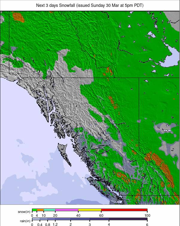
WESTERN CANADA REPORT
A fairly quiet week with not much fresh snowfall – just 10-20cm (4-8”) totals for the last seven days – for most western Canadian areas. Despite that, more terrain has been opened, and most centres are now fully open or very close to it. In fact, more Western Canadian resorts are reporting their terrain as 100% open, with great conditions, than anywhere else. Big White, Fernie, Red Mountain, Sun Peaks, and Whitewater are among them. North America’s largest resort, Whistler Blackcomb (10/185cm / 4/34”), is now almost 95% open and just passed the 5-meter (200”) snowfall this season mark. Mt Washington (170/330cm / 68/132”) has the deepest snow in North America (and anywhere in the world outside Asia).
WESTERN CANADA FORECAST
A midweek front is expected to bring light snowfall to the region – just a few centimetres (an inch or two) for most areas. Otherwise, it will be dry and sunny in most cases, with temperatures very cold – predominantly in the -5 to -20C range.
EASTERN CANADA REPORT
It’s been a cold week across eastern Canada with temperatures down towards -20C at times, allowing for plenty of snowmaking and some fresh snowfalls too. Most ski areas are still a little limited in what they can open due to a combination of the warm early season and limited natural snowfall, but it's ever-improving. The largest centre, Tremblant (60/110cm / 24/44"), is now up to 85% open, and a few centres, including Mont Sutton, hit 100% this week, the first in the region this season. It reported 16cm (6”) more snowfall in the 24 hours to Tuesday this week.
EASTERN CANADA FORECAST
Staying very cold, generally between freezing and -15C. There’s a front due to bring a little midweek snowfall, but it’s going to continue mostly dry.

