North America Weekly Roundup #275
Updated 10th January 2025: Storm Blair blankets North America, unlocking new ski terrain from the Rockies to the West Coast. Avalanche risks rise as fresh powder falls. Click to explore!
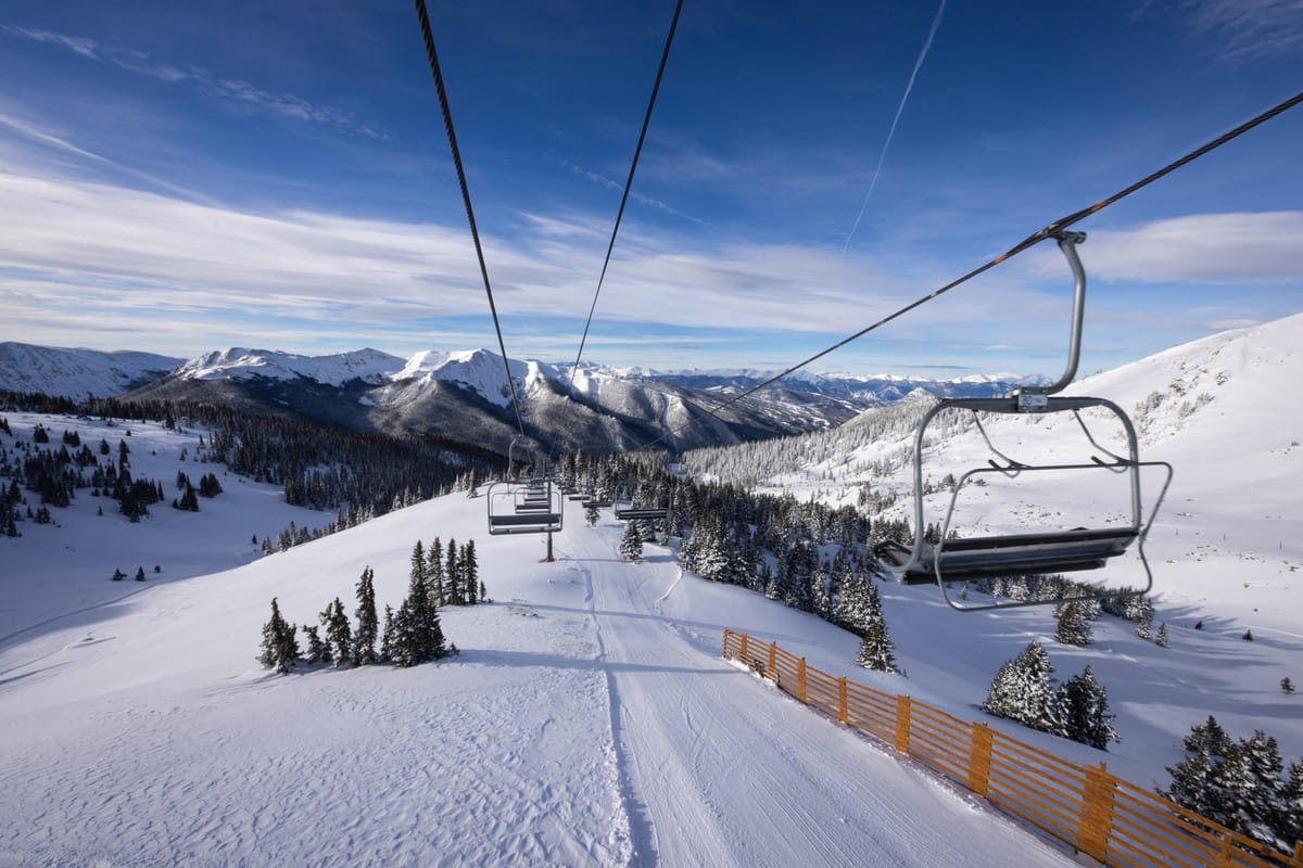
Rockies and West Coast Gain Ground as Storm Blair Opens Up More Terrain for Skiers
- Storm Blair delivered widespread snowfall across North America, boosting ski conditions from the East Coast to the Rockies, with forecasts predicting continued cold temperatures and additional snow showers in many regions.
- The Rockies saw gradual snow accumulation, opening more terrain but increasing avalanche risks; the forecast indicates very low temperatures and light snow showers in the coming days.
- Western Canada enjoys excellent skiing conditions with more snowfall expected, while Eastern Canada anticipates continued cold weather and fresh snowfall by the weekend, improving snow cover.
NORTH AMERICA OVERVIEW
The most widespread winter storm of the season so far, so much so that it was given a name, Storm Blair, swept through the central and eastern U.S. through last weekend and into Monday, much to the delight of ski areas on the East Coast, Midatlantic, and parts of the Midwest, which all benefited from its impact. The storm began up in the Pacific Northwest, which has seen the best of North America's snowfall this season to date, and got plenty more over the last week, despite the storm's impact. There was also snowfall for the Rockies, where more areas are gradually approaching 100% operations as the snow continues to gradually build up, allowing more steeper terrain reliant on deeper cover to open for the season. Further north in Canada, cold temperatures have continued to be a big weather factor, with snowfall across the country too, heaviest in the west.
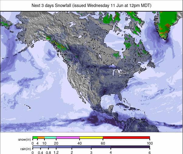
ROCKIES REPORT
It’s been a good week of low temperatures and gradual snowfall accumulation in the Rockies, heaviest in the north, resulting in resorts opening more terrain and in several cases coming closer to full operations for the first time this season. Keystone Resort has opened its North Bowl, South Bowl, and Independence Bowl for the start of the New Year, taking them to over 2,200 acres of skiing and riding. The new snowfall has resulted in increased avalanche risk. There was a fatality at a Utah ski area, and Steamboat issued a stern warning after a skier triggered an avalanche in the Christmas Tree Bowl, having gone into the closed area on the backside of Mount Werner, which had not been made ready and safe to open for the season.
ROCKIES FORECAST
Some very low temperatures in the forecast for The Rockies this week, getting down towards 0°F on high slopes. Plenty of sunshine but with some light snow showers bringing a few inches of snowfall now and then over the next few days.
WEST COAST REPORT
A repeat of the usual pattern this season so far, with heavy snow in the north for states including Oregon and Washington, but still very limited snow for California. The good news for the latter, and for Utah too, is that some snowfall, with one system moving in today, has been allowing those areas to build up a deeper base, although it’s still nowhere near where it should be in normal conditions. Mount Hood Meadows and Timberline in Oregon have the most terrain open in the region, with 100% of their slopes available.
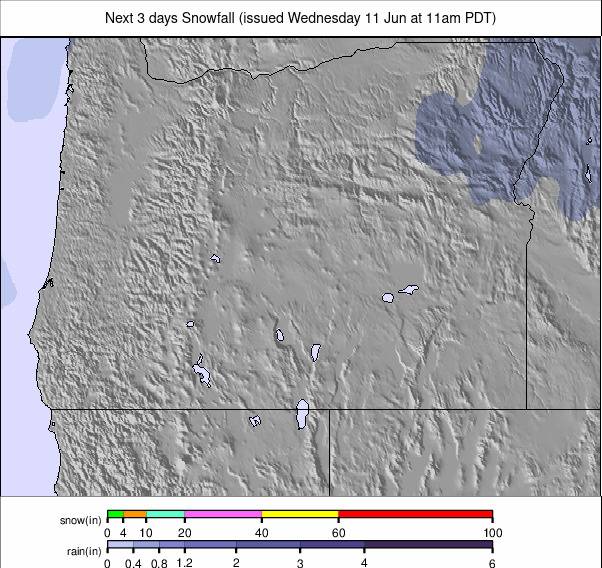
WEST COAST FORECAST
The northern U.S. West Coast looks like it will continue to receive the best of the snowfall in North America for the coming week, with more storms expected to deliver several feet of fresh powder. For California, Utah, and parts of Idaho, snowfall should be heavier, and base depths will be deepening.
MIDWEST REPORT
The snowfall from Storm Blair took a while to get to the Midwest, but once it arrived at the weekend, it brought 10-30cm (4-12") of snow, along with cold temperatures, which was good news for ski areas. There are limited numbers of ski areas in the region, but Wisconsin’s Tyrol Basin and Devil’s Head, Michigan’s Mount Bohemia, and Minnesota’s Lutsen Mountains have all reported good skiing conditions in the past week, with good amounts of snow for the machine-made cover.
MIDWEST FORECAST
Cold temperatures forecast to continue through the coming week, mostly in the 0 to -10°C range, with the chance of a few more snow showers bringing a few more inches of snow over the coming days.
EAST COAST REPORT
Storm Blair was great news for eastern North America, with huge areas impacted by the storm, bringing snow from Quebec to the north down to the Carolinas in the south. It may only have brought 5-10cm (2-4") of snow in some places, but that has made a big difference for those eastern North American areas, struggling for natural snow up to now this season. It did come with some very strong winds, which closed runs and lifts for some of the weekend, and with the resulting avalanche risk, it was a busy weekend for ski patrols. The biggest beneficiaries were areas in New England, New York State, and Pennsylvania. Killington, Sunday River, and Sugarloaf have posted the most terrain open at 60-80% in New England, with Whiteface posting the most terrain open in New York State and Elk Mountain in Pennsylvania.
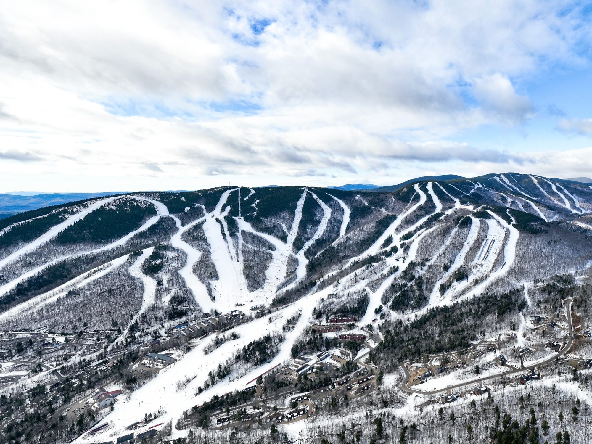
EAST COAST FORECAST
Another cold week ahead for the East Coast, with temperatures widely in the -5 to -15°C range and potential for more snow showers, but no major storms like last week’s Blair in the forecast.
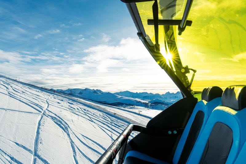
WESTERN CANADA REPORT
Conditions continue to be close to excellent at most areas in Western Canada, and there’s been another week of subzero temperatures and regular snowfalls. The continent’s largest ski area, Whistler Blackcomb (10/200cm / 4/80”) has more than 90% of its slopes open now, and for spoke centres including Fernie (150/230cm / 60/92”) and Red Mountain (172/172cm / 69/69”) and quite a few others in the region, their slopes are 100% open. It's not great everywhere in the West, though, as Kicking Horse seems to be having a challenging season start, initially delaying opening last month and still with only about a third of its runs open.
WESTERN CANADA FORECAST
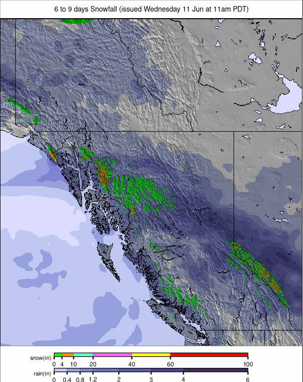
Much sunnier and drier than it has been recently in Western Canada. Temperatures should remain cold, typically in the -2 to -12°C range, and there’s light-moderate snowfall expected to end the week, but otherwise mostly dry and sunny conditions.
EASTERN CANADA REPORT
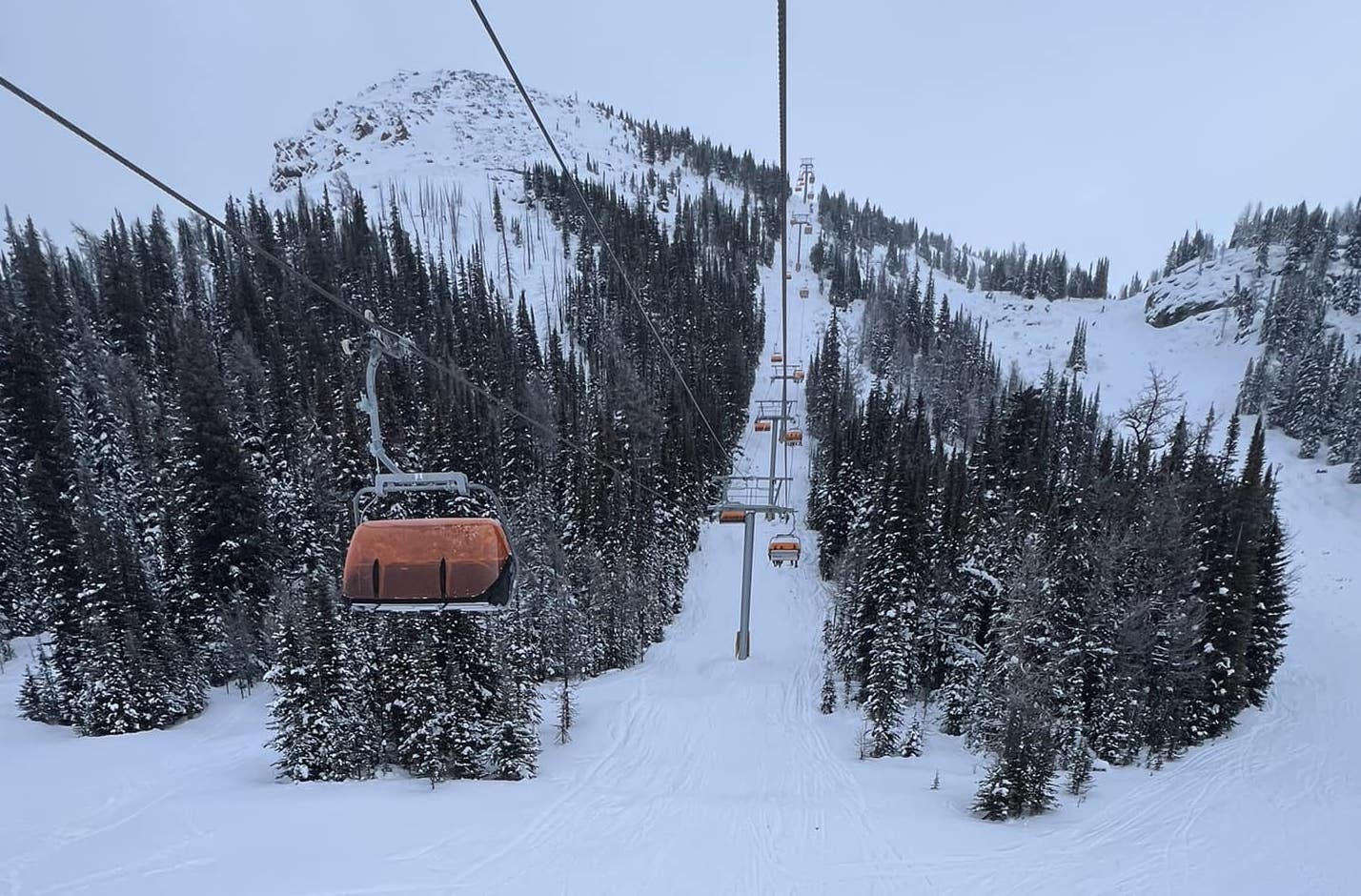
A week of predominantly cold temperatures across Eastern Canada, with temperatures down around -10 to -15°C in most areas. There’s not been much snowfall to report, just a few centimetres here and there, but it's certainly been good low temps for snowmaking. With the exception of the largest resort, Tremblant (60/165cm / 24/66"), which now has two-thirds of its runs open, most resorts in the region have less than half a metre of snow cover still and less than half of their terrain skiable, still catching up after the warm, wet autumn.
EASTERN CANADA FORECAST
Current snow showers should ease off midweek, with a few dry and sunny days following, then fresh snowfall will begin into the weekend and continue through into next week. Temperatures will remain well below freezing, mostly in the -5 to -15°C range.


