North America Weekly Roundup #272
(Updated 18 December 2024) A comprehensive review of snow conditions, weather, and updates for North America's winter sports destinations.
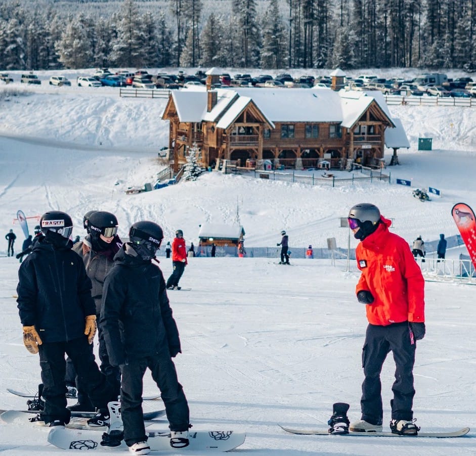
Whistler Blackcomb Now 70% Open After Weekend Snowstorm in Western Canada
- West Coast Surge: Violent storms delivered up to 45” of snow to California and the Pacific Northwest, marking the biggest snowfall of the season but causing lift closures and challenging conditions. More moderate snowfall is expected soon.
- Rockies and Midwest Hold Steady: While the Colorado Rockies remained mostly dry with limited fresh snow, nearby Utah saw accumulations of up to 20”. The Midwest experienced Arctic blasts, boosting lake-effect snow and creating a consistent wintry feel.
- Eastern Struggles, Canadian Resilience: Eastern North America faced temperature swings with alternating snowfall and rain, whereas Western Canada enjoyed significant snowfall, with Revelstoke leading in season-to-date totals.
NORTH AMERICA OVERVIEW
After a dry few weeks, North America's West coast received some big snow deliveries from the Pacific over the past week, with violent storms bringing up to three feet (90cm) of snowfall over the last six days. There's been much less snow inland, but the northern Rockies also saw some good accumulations. On the eastern side, the temperature roller coaster continues with good snowfall and cold snowmaking temperatures alternating with warm fronts bringing rain. Inland though parts of the Midwest have seen more reliable Arctic blasts and lake-effect snow keeping the wintery feel more constant there now.
ROCKIES REPORT
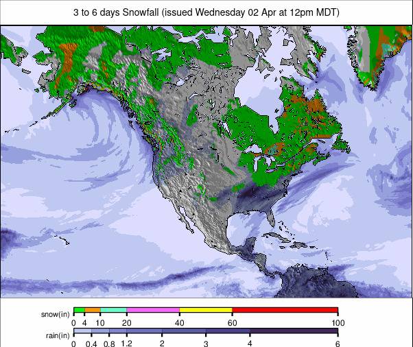
The Colorado Rockies stayed mostly dry and sunny for a third successive week, although temperatures remained largely below freezing so snowmaking could operate, with lows down to the high teens. Further north from Utah, it was more of a snowy picture through the last few days, with cumulative totals of 10-20" (25-50cm) for some areas. Despite not much fresh snow centres have been opening more terrain with Keystone unveiling its Outback for the 24-25 season. At 60% open, Vail (20/37" / 50/93cm) probably has the most terrain open in the region so far. Copper Mountain (18/43" / 45/107cm) has the deepest snow.
ROCKIES FORECAST
A mostly sunny week once again in the Rockies with temperature climbing rather high for Christmas week, potentially into the mid-high 40s Fahrenheit at bases. No major respite on the horizon but some snowfall is expected to start next week in the northern Rockies.
WEST COAST REPORT
There was excitement in California at the weekend with the biggest snowfall of the past month rolling in and initially bringing 1-2 feet (30-60cm) of snow to resorts around Lake Tahoe. By the end of the weekend though storm totals had hit as high as 45” (112cm). Both Mammoth and The Palisades (28/57” / 70/142cm) were among resorts reporting 12" (30cm) accumulations to end the week last week with more snowfall through the weekend for 2-5 feet (60-150 cm) storm totals by Monday. The snow did arrive with low visibility and violent gales though causing plenty of issues in terms of access and lift closures through the height of the storm. “If you're joining us out here, remember to ski/ride with a buddy, keep an eye on operational alerts,” Horthstar warned visiting weekend skiers and riders.
WEST COAST FORECAST
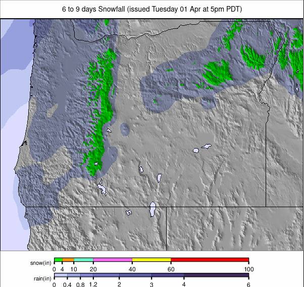
The snowfall eased and temperatures spiked under sunny skies in California on Tuesday/Wednesday but it's cooling again now and more snowfall, at this point looking much lighter, is expected back in the region by the end of the week. It hasn’t really stopped further north in Oregon and Washington State which saw feet-more Midweek snow accumulations. Here it looks cooler and cloudy with more snowfall expected from Sunday.
MIDWEST REPORT
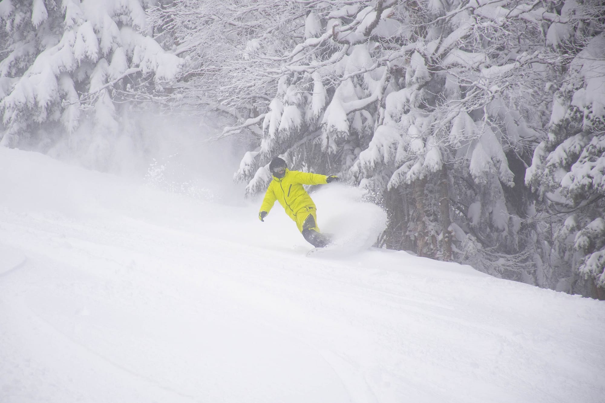
There’s a much more wintry feel to the Midwest now with ice storms and lake-effect snow as an arctic blast slammed into the region with Northern Lower Michigan, particularly in the firing line. Winds gusted nearing 40 mph have also been a factor. Pine Knob Ski Resort (12/30” / 30/75cm) reported one of the biggest 24-hour snowfalls – 9” (17cm) into the weekend. Ski Brule (36/48" / 90/120cm) has the region's deepest snow but only about a third of its runs are reported open. Nordic Mountain (12/32” / 30/80cm) in Wisconsin is one of those posting the most terrain open with all 16 of its trails usable.
MIDWEST FORECAST
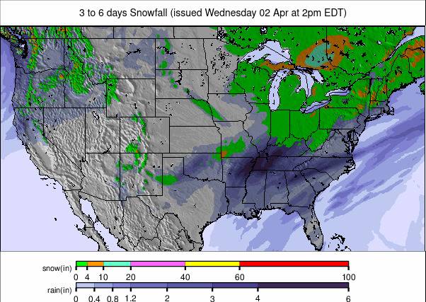
Some light snowfalls over the next few days with temperatures down into the 20s. That means snowmaking systems can fire up too, building on bases and allowing centres to open more terrain ready for the holidays.
EAST COAST REPORT
Back to a bit of a weather rollercoaster on the East Coast after a promising snowy start to December. Temperatures warmed in the final days of last week and rain fell on Wednesday/Thursday leaving a lot of resorts temporarily closing their slopes to preserve the snowpack. Things have improved and Sunday River (13/18" / 34/45cm) in Maine was among the areas reporting "winter reloading" with temperatures dropping again for snowmaking to resume by the weekend. We've since had several temperature fluctuations with more natural snowfall but unfortunately, more days getting up into the high 40s Fahrenheit and more rain, so the battle is not yet won.
EAST COAST FORECAST
It’s one of the best forecasts of the season so far with temperatures expected to stay down in the 20s, with snow falling most days. Nothing spectacular – mostly 3-6" (7-12cm) falls, but it will be cold enough for snowmaking too, hopefully allowing more terrain to open soon along with operational stability.
WESTERN CANADA REPORT
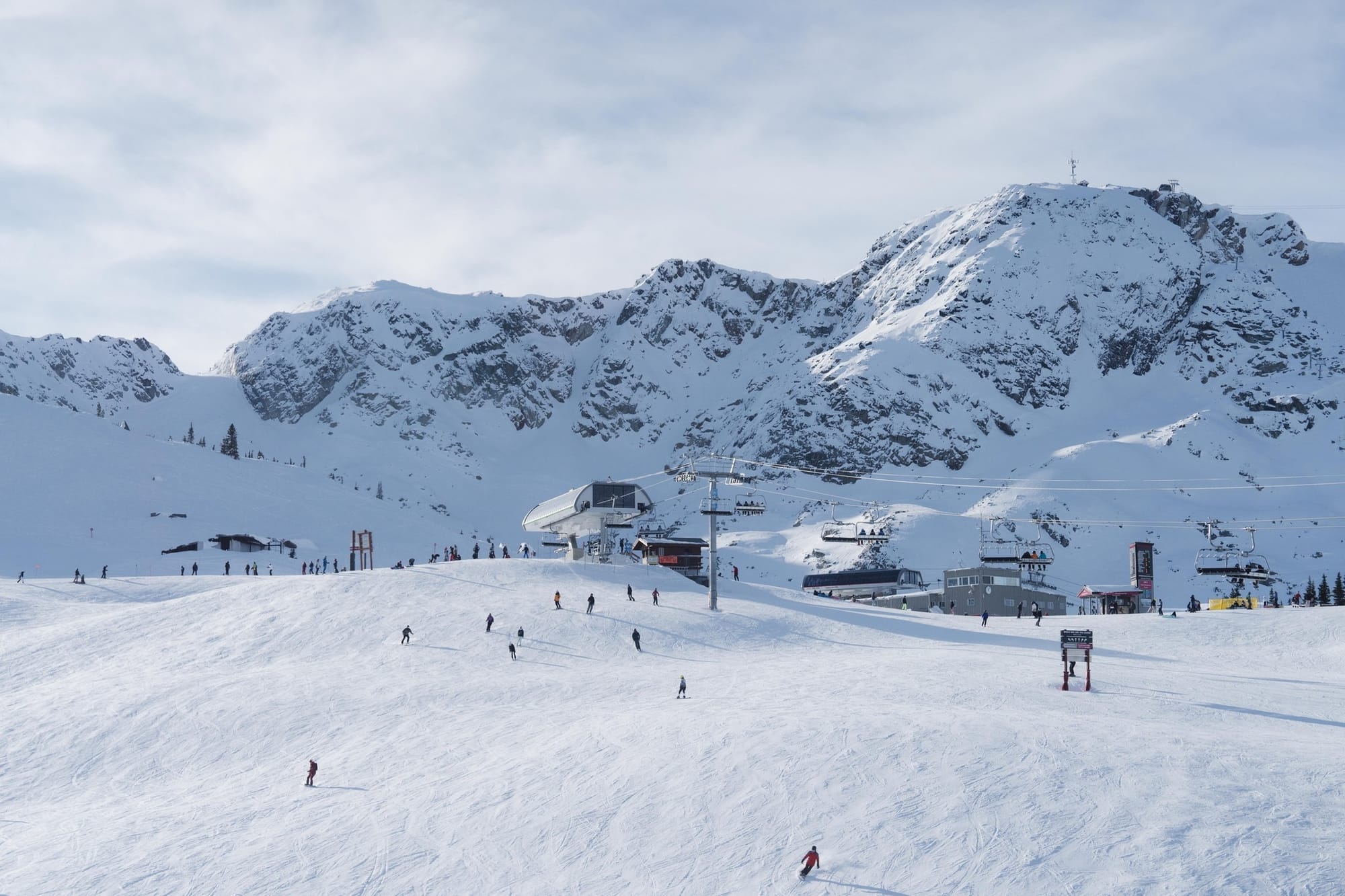
Mother Nature opened the floodgates at Whistler Blackcomb (0/110cm / 0/44”) at the weekend with about 30cm (12”) of the fluffy white stuff, but also strong alpine winds on Saturday, temporarily closing some lifts. The north side of 7th Heaven is now open, bringing the total skiable acres of terrain across both mountains to over 6,000 or about 70% of North America’s largest ski area already. Another impressive stat was reported by Revelstoke (30/123cm / 12/49”), inland with the continent's biggest lift-served vert. It reported its season-to-date snowfall has passed 4 metres (13 feet) already, a world-leading stat.
WESTERN CANADA FORECAST
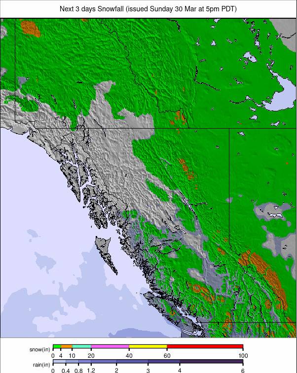
Mostly overcast skies, with temperatures in the -10 to freezing range, some light snow showers through to the weekend.
EASTERN CANADA REPORT
Eastern Canada has had mostly good conditions this week – sunshine, snowfall and lows down to -10C… but it's also had a couple of brief warm weather windows with highs up towards 8C bringing rain at times and impacting snow cover. So most of the region’s centres have 10-30% of their slopes open and thing 20-40cm (8-16”) snow cover for now. The snow depth exception, at least on its higher slopes, is Tremblant (20/125cm / 8/50”) although it still only has a fifth of its terrain open.
EASTERN CANADA FORECAST
It is looking colder, but drier, for the rest of the week, with temperatures remaining below freezing and cold enough for snowmaking at times, skies overcast but with only the odd lights now shower expected.


