North America Weekly Roundup #271
(Updated 11 December 2024) A comprehensive review of snow conditions, weather, and updates for North America's winter sports destinations.

Vail's Back Bowls Open Early as Rockies Receive Up to a Foot of Snow
- Broad Openings Across the U.S.: Over 75% of U.S. ski areas are now open, with major resorts like Whistler Blackcomb and Vail leading the charge by opening significant terrain early.
- Snowfall Boosts Northeast and Rockies: Northeast ski centers recovered quickly with fresh snow, while the Rockies saw cumulative snowfall helping resorts like Vail and Wolf Creek expand terrain.
- Weather Highlights: Western Canada anticipates heavy snowfall, while the Midwest and West Coast face mixed conditions, including dry stretches and fluctuating temperatures.
NORTH AMERICA OVERVIEW
With the full winter season nearly here, more than three-quarters of US ski areas have now opened, with the number closer to 90% for the country's bigger destination resorts. The biggest change this week has been in the Northeast where colder, snowy weather has seen most of the region's centres open when a week ago very few had been able to. It's been a fairly quiet week with predominantly dry conditions and just the odd light snow showers in the West. For ski areas already open the focus is now on opening more terrain with Whistler Blackcomb passing the 5,000 acres open mark at the weekend and Vail opening its famous Back Bowls historically early.
ROCKIES REPORT
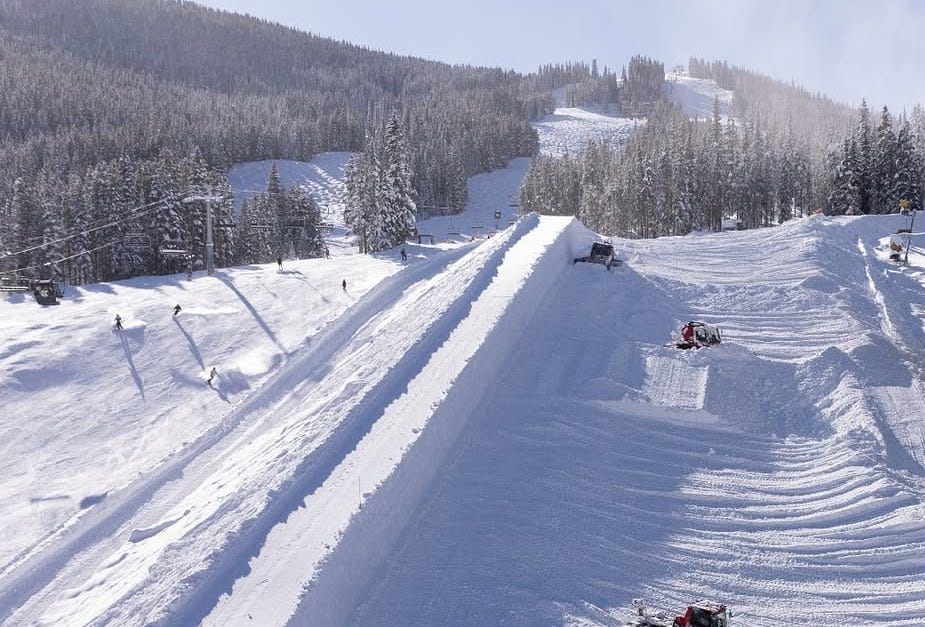
The largely dry weather of the past few weeks in the Rockies has started to break down with centres posting up to a foot (30cm) of cumulative snowfall since the start of the week, most of it arriving in light-to-moderate snow showers that added up. Vail (20/36" / 50/91cm) has about 60% of its terrain and more than 140 trails already and has opened its famous Back Bowls already, historically early. That timed perfectly with the beginning of the speed racing season of the FIS World Cup 24-25 Tours with the first downhill and Super G races at neighbouring Beaver Creek on their famous Birds of Prey course. Wolf Creek (39/45" / 97/112cm) continues to post the deepest snow in the region and has the most terrain open.
ROCKIES FORECAST
Remaining stubbornly dry and sunny for most of the Rockies over the coming week. Temperatures well below freezing, typically ranging from the high teens to the high 20s Fahrenheit.
WEST COAST REPORT
It's been a mostly dry week on the West Coast and snowfall in the long-term forecast for more northerly areas didn't materialise in the volumes predicted at this time last week. As a result Mt Baker (58/72" / 145/180cm), although still posting the deepest snowpack in the US, has seen depths drop by about 10% on a week ago. It's also been getting rather warm, into the high 40s F in California, which has meant both no snow and no snowmaking. The overall picture remains positive though and Mammoth Mountain (40/56" / 100/140cm) continues to be a top performer in terms of terrain open already, more than 95% of its slopes. Crystal Mountain (28/41" / 69/102cm) in Washington State isn't far behind at nearly 90% open.
WEST COAST FORECAST
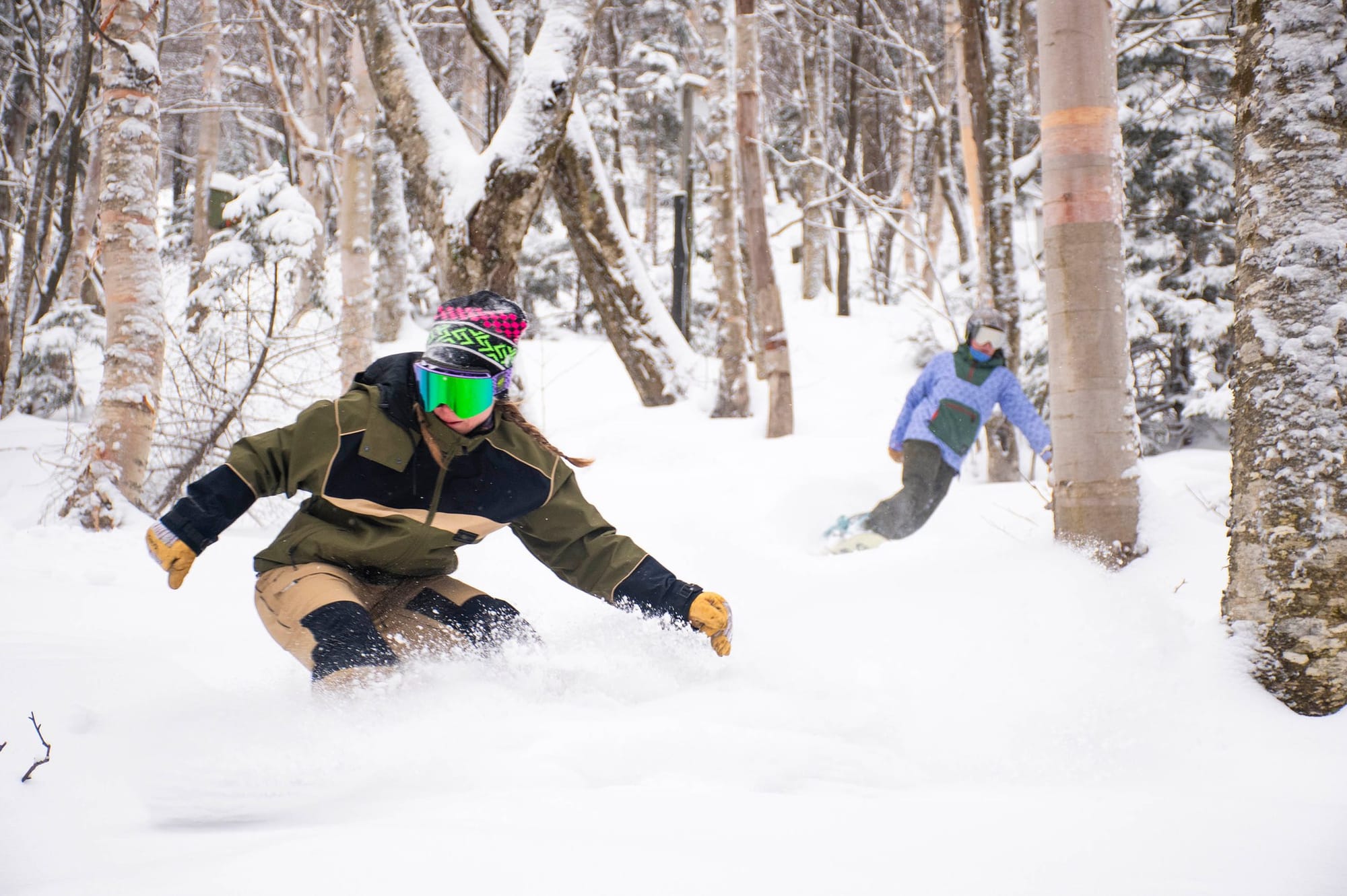
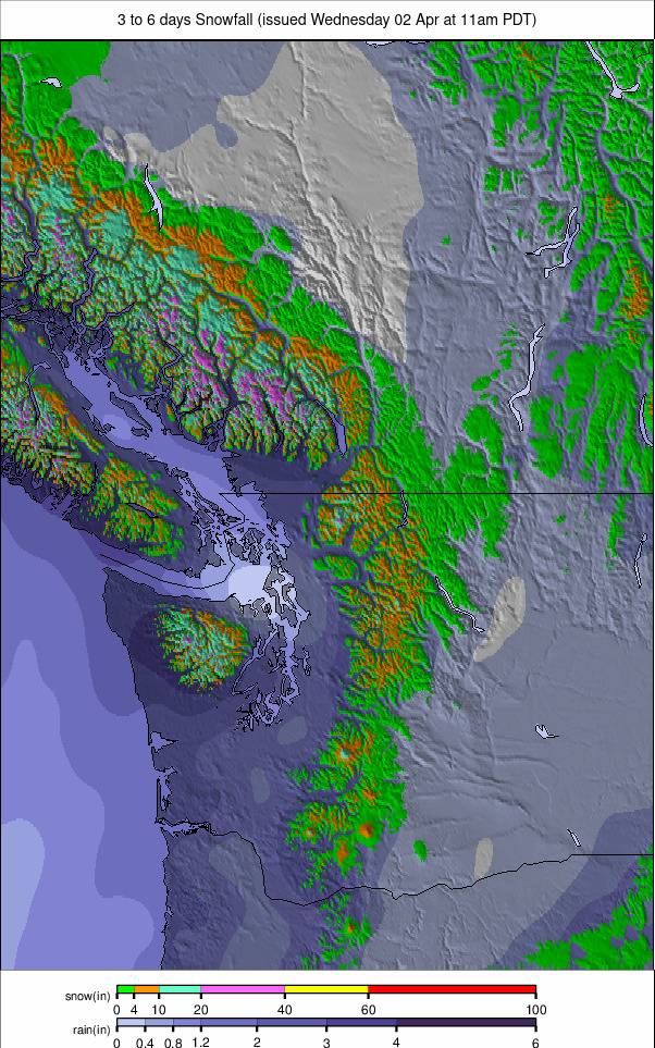
A much more positive picture for the remainder of this week with moderate to heavy snowfall expected right down to California and temperatures mostly remaining below freezing. Snowfall totals of several feet (60cm) are likely by the end of the weekend.
MIDWEST REPORT
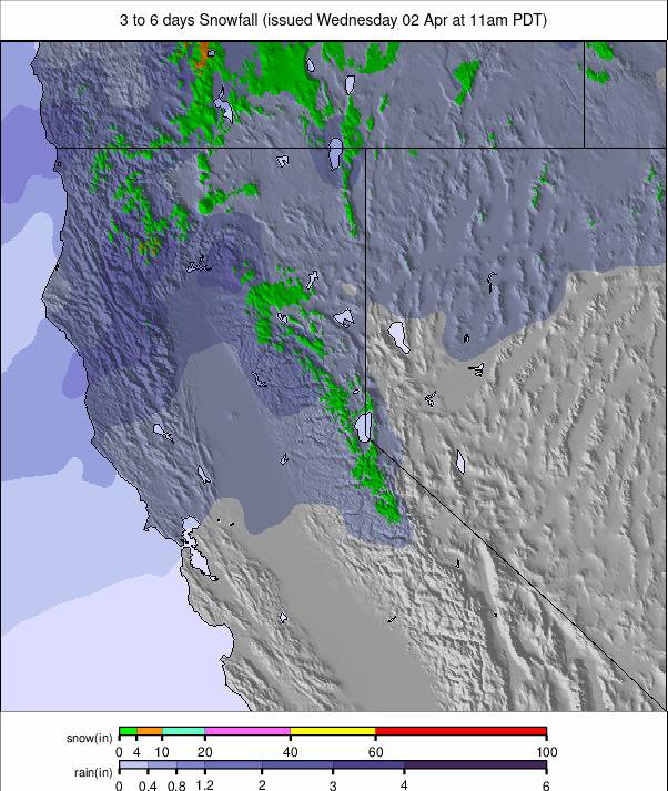
About half of the Midwest's ski areas have opened following the big snowfalls at Thanksgiving. It's stayed cold with more snowfall since, some of the heaviest reported in Ohio. Ski Brule (36/48" / 90/120cm) in Michigan is posting the deepest snow so far with Alpine Valley Resort (10/1 8" / 25/45cm) in Wisconsin one of the first to report every run open already. Overall, the snowpack is between 50 and 70% of the average for this point of the year as centres regain ground. Temperatures went well above freezing again at the weekend but have since dropped down to the 320s with overnight lows in the teens Fahrenheit.
MIDWEST FORECAST
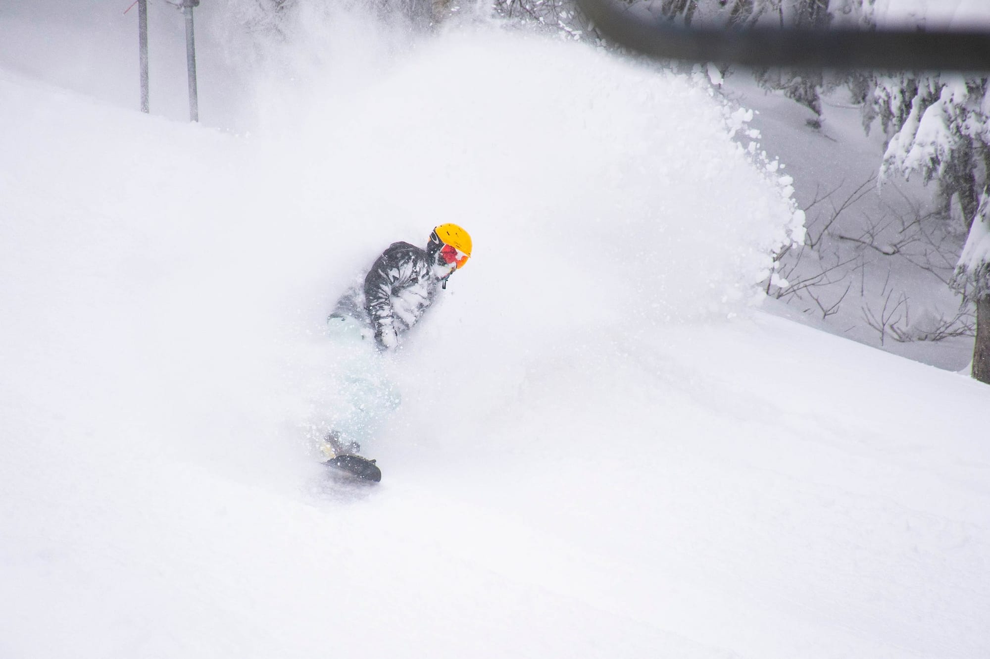
It continues to be a fairly dry forecast for much of the Midwest with a mixture of sunny and cloudy weather. Temperatures range between the high 30s and low teens Fahrenheit.
EAST COAST REPORT
If not a complete transformation, there's certainly been plenty of snowfall in most of the Eastern US since the start of December and we've gone from almost nowhere open to almost everywhere as a result. Despite the positive spin though the stats show limited terrain open and thin depths so far, although most centres have had powder days this week and that's not much different to most other resorts. The largest centre, Vermont's Killington (4/14" / 10/35cm) unsurprisingly has the most terrain open so far, about a third of its runs, including recently opened Superstar, the slope they keep open late into spring at the other end of the season. Snowshoe Mountain (32/49" / 80/122cm) is reporting the region's deepest early-season snow.
EAST COAST FORECAST
We seem to be into a pattern similar to much of last season where the east coast sees warm weather bringing rain, which then cools and the rain becomes snowfall, then dips really low for some clear-sky, cold, below-freezing days for which the region is famous before the next warmer front comes in. We're currently in the warm spell, cold weather and sunshine into the weekend then the next warm front early next week.
WESTERN CANADA REPORT
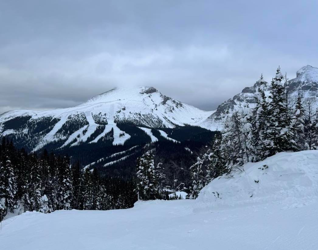
After a fairly dry seven days, the snowfall returned to Western Canada again at the weekend with Revelstoke (25/104cm / 10/41") among the areas posting around 30cm (a foot) of snowfall over a few days. Temperatures have continued below freezing 24-7 for many ski areas in the region in the -2 to -15C range. Some of the beneficiaries included Lake Louise which posted a 30cm (Foot) of snowfall in 24 hours on Sunday-Monday. Whistler Blackcomb (0/100cm / 0/40") has jumped to open the most terrain in North America (and probably the world) with 5,500 acres available since last Friday. Sun Peaks (62/67cm / 25/27") though still has the highest proportion of its terrain open of the bigger resorts with around 80% of its terrain already available.
WESTERN CANADA FORECAST
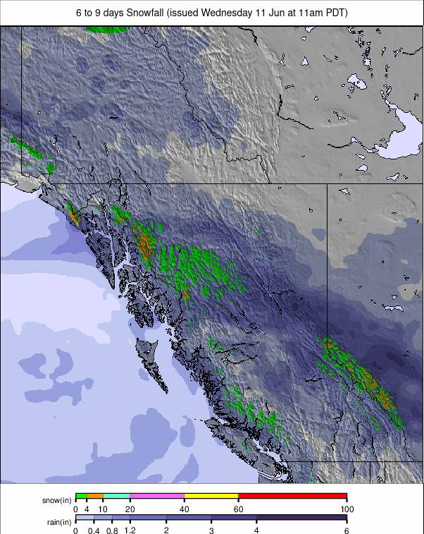
It's looking positive for some big snowfalls for the remainder of this week and into the weekend in western Canada. There's moderate to heavy snowfall forecast daily through to next Monday with potential totals towards the metre (40") mark over the next five days.
EASTERN CANADA REPORT
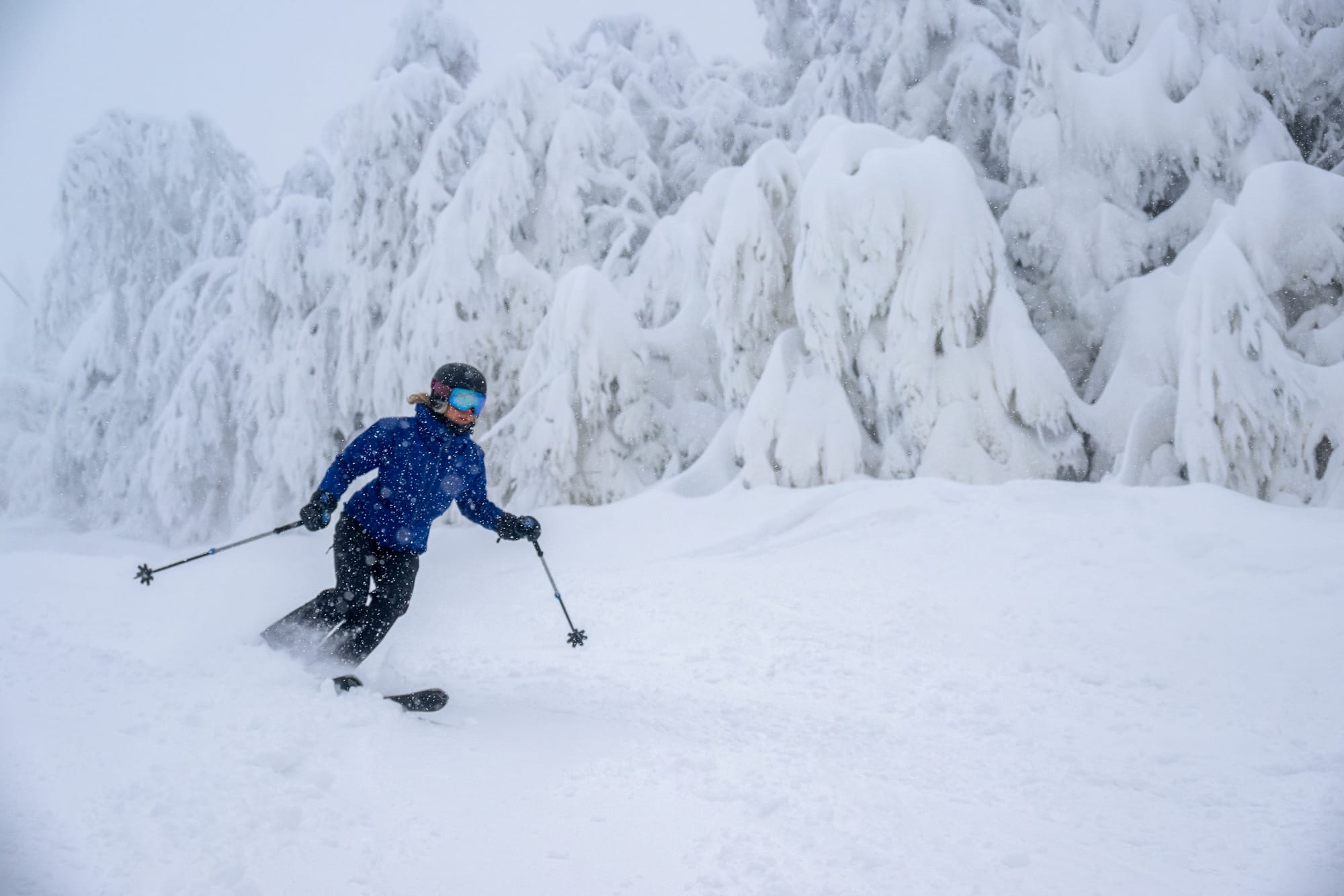
It's been the best week of fall so far in Eastern Canada with the first significant snowfalls and powder days of the season. Ironically Tremblant (18/67cm / 7/27") got a foot (30cm) of snowfall just as it was due to have staged World Cup ski racing, but those races had been cancelled with the FIS declaring "no snow" as the reason. It was probably too late and not great racing conditions with the heavy snowfall anyway. More of the region's resorts have been opening, with limited terrain so far, including the second-largest Mont-Sainte-Anne closer to historic Quebec City. The weather does continue to be mixed though with warm spells bringing rain, unfortunately, including in the past few days to some areas, before temperatures dip and it turns to snow again.
EASTERN CANADA FORECAST
The current pattern of warmer weather bringing rain showers which turn to snowfall and are then followed by clear cold days looks set to continue for another week. The rain turned to snow over the next 24 hours, followed by snowfall into the weekend, then the clear, sunny conditions.

