North America Weekly Roundup #270
(Updated 4 December 2024) A comprehensive review of snow conditions, weather, and updates for North America's winter sports destinations.
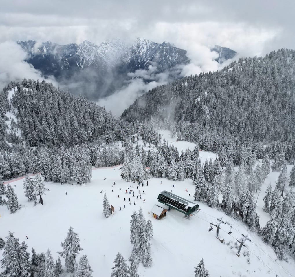
North America Leads Global Ski Season with Record-Breaking Snowfall
- Exceptional Conditions in the West: The western side of North America boasts the world’s best skiing conditions this season, with Mt. Baker hitting a 7-foot base and Mammoth Mountain nearing full terrain coverage. Dozens of resorts opened in time for Thanksgiving, with snowfall exceeding 10 feet in parts of the Pacific Northwest.
- Mixed Regional Outlooks: While the Rockies enjoy sunny skies and substantial bases, the Midwest is rebounding with record-breaking snowfalls, and Eastern regions face ongoing weather challenges. Vermont's Killington still managed to host the first Alpine Skiing World Cup races in North America this season.
- Optimistic Forecasts: As temperatures remain below freezing, improved conditions are expected across all regions. The East Coast and Midwest anticipate regular snow showers, while the Rockies and Western Canada prepare for consistent but mostly dry, sunny weather.
NORTH AMERICA OVERVIEW
North America, especially the western side of the continent, continues to post the best conditions in the world at present. Ski areas here are the first in the world to post 7 feet/2 metre plus bases, the biggest snowfall totals of fall 2024 so far (some in the Pacific Northwest have had more than 3m/10 feet already) and also the first areas to hit 100% open. There have been some more big snowfalls over the past week and dozens more ski areas opened in time for last weekend's Thanksgiving celebrations. It's been more challenging on the East Coast and some centres here were forced to miss Thanksgiving due to inadequate snow cover for opening. There have been some colder spells and snowfalls over the last week though so it’s an improving picture and more resorts including the area’s biggest, Quebec’s Tremblant, have opened. Vermont’s Killington also hosted the first Alpine Skiing World Cup races in North America for 24-25. The first resorts in the Midwest have also managed to open.
ROCKIES REPORT
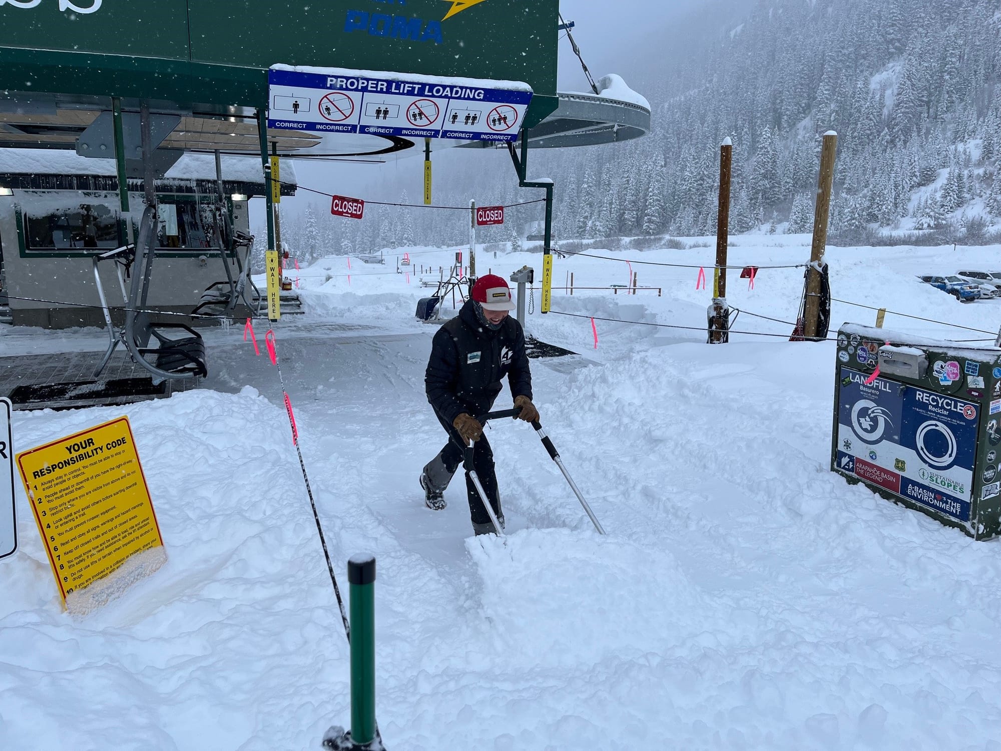
Some bigger snowfalls than forecast for ski areas in the Rockies, especially Colorado, in the latter half of last week with Arapahoe Basin (12/20” / 30/45cm) posting a 24” (60cm) accumulation and Loveland (12/18” / 30/45cm) 20” (50cm) amongst the bigger beneficiaries. Since then there have been mostly sunny conditions delivering some glorious days on the slopes. Colorado’s Wolf Creek (47/50” / 117/124cm), the first ski area to open in North America this season, six weeks ago continues to be the world’s stand out in terms of already being 100% open It’s also reporting the deepest snow in the Rockies right now.
ROCKIES FORECAST
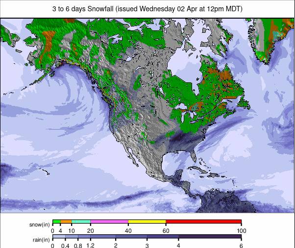
It’s looking largely dry in the Rockies for the remainder of this week. There’s plenty of sunshine expected, with temperatures remaining below freezing. Snowfall should start to return early next week.
WEST COAST REPORT
In the far north of the Lower 48, Mt Baker (62/82” / 155/210cm) has opened in Washington state immediately posting the deepest base in North America and the first in the world this winter to hit a 7 feet/2 metre base mark. At the southern end, Mammoth Mountain (30/32” / 76/81cm) in California is looking good with a 20” (50cm) snowfall reported at the end of last week. It already has almost all of its terrain open so currently leading the world in that area. Mt Baker (61/81” / 152/203cm) has the deepest snowpack in the region and the world at present and has 75” of its slopes open.
WEST COAST FORECAST
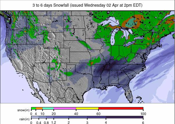
A mostly sunny forecast for California and more southerly parts of the West Coast, but with temperatures remaining below freezing. From Oregon north though the snow will keep coming with light to moderate falls through the remainder of this week and continuing into the weekend.
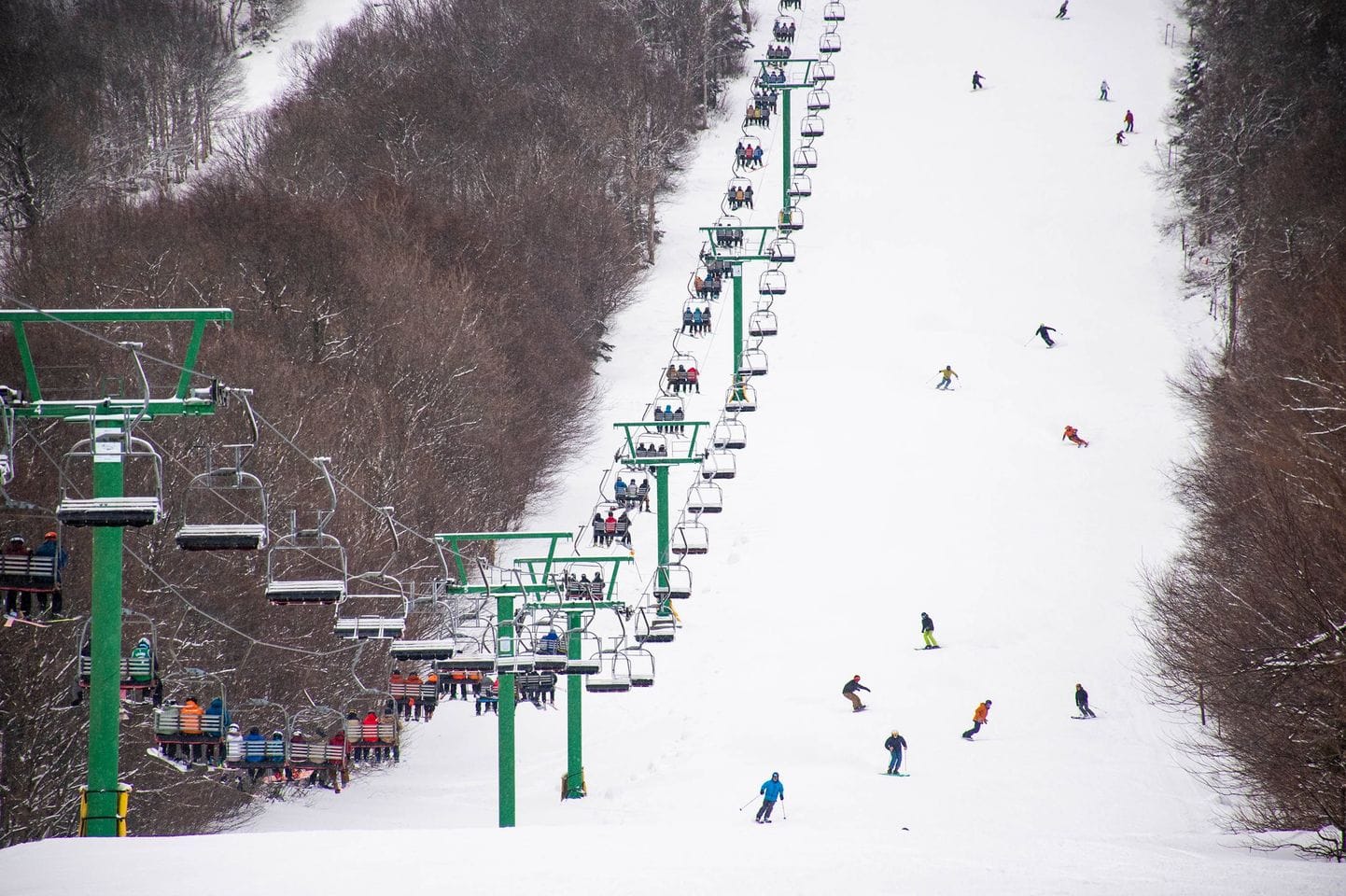
MIDWEST REPORT
The ski season has got underway in the Midwest, more than six weeks after the season started in 2023. It's been a tough fall of too-warm temperatures and what's open so far is just tipping into
viability with a strong emphasis on the 'early season conditions’. However lake-effect snow from the Great Lakes arrived at the end of last week as an Arctic blast blew down and there were some big accumulations. Treetops ski area saw an 80-year-old snowfall record broken getting over two feet (60cm) of snowfall in 24 hours. It will now open this Thursday. As a result of the snowfall a dozen areas opened at the weekend and twice as many more again plan to join them from Saturday. Currently, Wisconsin's Trollhaugen (6/36” / 15/90cm) is reporting the deepest snow. It has announced long opening hours over the coming days including some when it plans to keep the lifts
running through to 3 am!
MIDWEST FORECAST
It’s looking much more promising for the start of December than much of November, with temperatures staying low and more snowfall in the forecast.
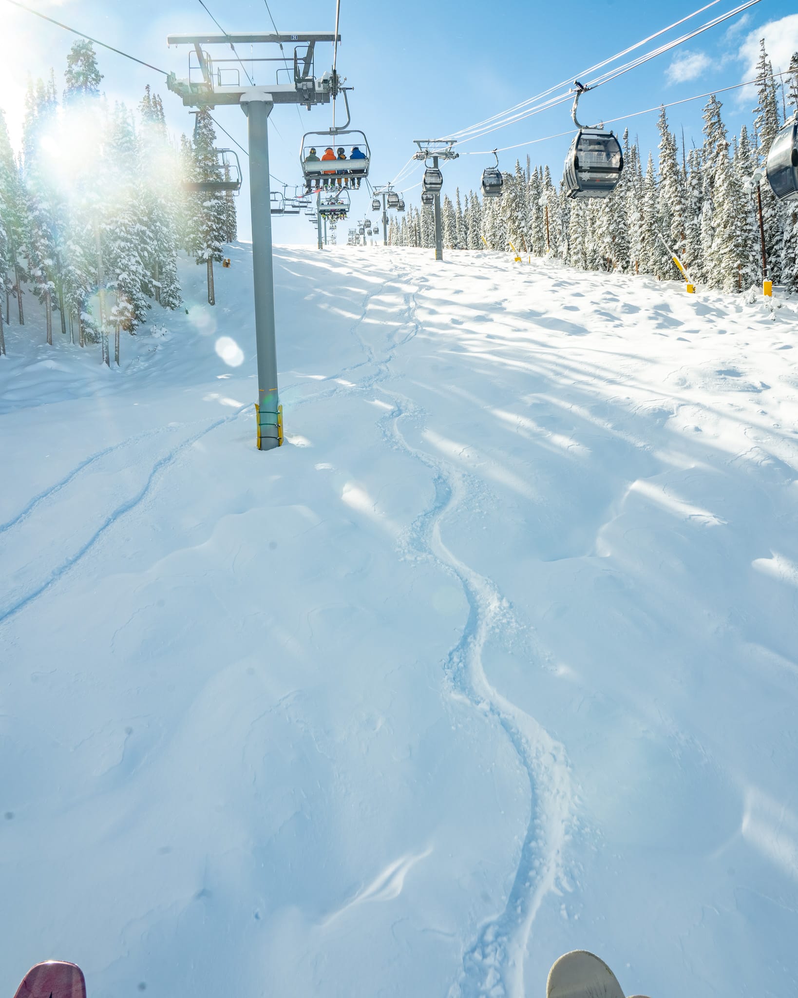
EAST COAST REPORT
The mixed picture continues on the East Coast with weather conditions continuing to challenge snowmakers. There have been weather windows of low temps for snowmaking and some good
natural snowfalls too, but also ongoing periods of warmth and wet conditions at times. So some centres have continued to delay opening whilst at the other extreme Killington (5/30cm / 2/12”)
announced it could offer top-to-bottom skiing in time for the Thanksgiving Holiday weekend. The overall direction is pretty good though with many resorts reporting recent accumulations of a for
(12”) or more and increasing numbers saying they’ll open at least some terrain over the coming week. This is often happening at short notice with Vermont’s Sugarbush saying they’re opening today, Dec 4, and Smugglers Notch tomorrow, Thursday 5th.
EAST COAST FORECAST
The most positive picture we’ve seen this autumn so far with temperatures consistently well below freezing and regular snow showers bringing a few inches (5-10cm) of snowfall daily to most areas.
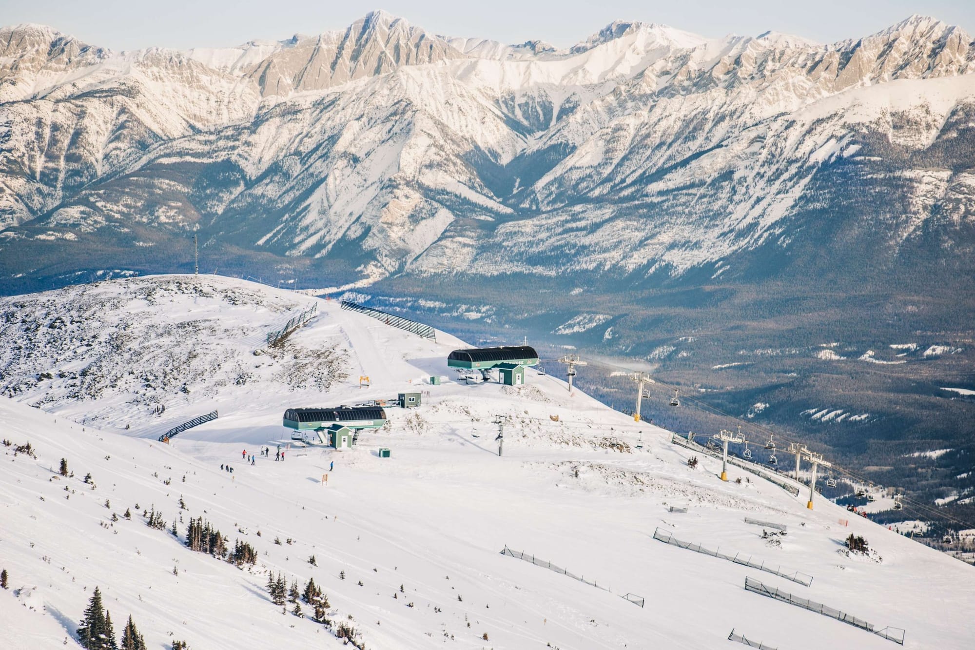
WESTERN CANADA REPORT
Canada’s Western provinces continue to be a stand-out for early-season snowfall with some of the best bases built up already. Red Mountain is the latest to report good numbers, saying the two metres of snowfall it received in November was its second-best stat since 2005. Further west Fernie (80/134cm / 32/54”) has opened posting the deepest snow in the Rockies and on the West Coast Whistler Blackcomb (0/110cm / 0/44”) says it expects to hit 5,000+ acres open this Friday, a spokesman saying on Monday: “Our teams have been working hard to prepare the alpine for safe openings and we’re excited to share that 7th Heaven on Blackcomb and Peak Chair on Whistler are on tap to crack next! We’re targeting later this week, Friday, but only if conditions permit us to safely do so. We will provide updates whenever we can, so stay close to our channels. Once these iconic zones open, we’ll be at 5,500 skiable acres across both mountains!”
WESTERN CANADA FORECAST
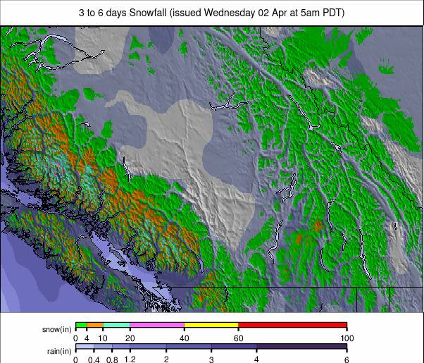
Remaining below freezing but with mostly dry conditions expected for the coming week across the West. Some light snow showers, just a few centimetres, in western BC.
EASTERN CANADA REPORT
The FIS decision to cancel the planned World Cup ski racing at Tremblant this coming weekend, the first races on the 24-25 schedule to be cancelled anywhere in the world this season so far, citing “no
snow” as the reason, underlining the issues that Eastern Canadian ski areas have been facing this autumn. Tremblant (10/25cm / 4/10”) has managed to open a few kilometres of slopes though, unlike most other ski areas in the region so far. Some more, such as Mont Sutton, say they’re hopeful of opening some runs this weekend though. After a fairly dry week, things are looking more promising for the coming week.
EASTERN CANADA FORECAST
Temperatures are expected to stay below freezing in the -1 to -15C range in Eastern Canada, so snowmaking systems should be able to operate full blast. Natural snowfall is also forecast with 5-25cm (2-10”) accumulations forecast through the weekend.

