North America Weekly Roundup #239
(Updated 1 May 2024) A comprehensive review of snow conditions, weather, and updates for North America's winter sports destinations.
Last Tracks in the East: Sommet Sainte-Sauveur Keeps Ski Season Alive with Weekend Skiing Fun
- Ski areas in Western Canada are winding down for the season, with Lake Louise and Marmot Basin set to close this weekend.
- Sunshine in Banff and Whistler will keep their slopes open into the latter half of May, offering extended skiing opportunities.
Eastern Canada's Sommet Sainte-Sauveur remains the only ski area open, welcoming weekend visitors with limited terrain and park features.
NORTH AMERICA INTRO
We're into May and the final 20 or so ski areas are open in Canada and the US, most in the Rockies or West Coast ranges but a few still battling on against spring's warming temperatures in the East too, in Quebec and Vermont. The past week has seen slowly warming temperatures but also a great return to winter last weekend for Colorado and Utah ski areas with a foot or so of fresh snow falling and cooler conditions on Saturday and Sunday.
ROCKIES REPORT
It was a powder weekend on still open slopes on the Rockies as ski centres in Colorado and Utah reported 6-12” (15-30cm) accumulations perfectly timed for Friday/Saturday. Still open centres include Snowbird (22/116” / 55/290cm) and Solitude (20/88” / 50/221cm) in Utah and Arapahoe Basin (24/63” / 60/157cm), Breckenridge (16/66” / 40/167cm), Copper Mountain (18/61” / 45/153cm), Loveland (22/62” / 55/155cm) and Winter Park (56/78" / 140/196cm) in Colorado. Most have now switched to a limited terrain, adjusted-hours operating model for their final weeks of the season, a few have gone weekends only. Arapahoe Basin, Breckenridge and Loveland were amongst the centres posting the bigger snowfalls of 8-12 inches (20-30cm). Loveland is expected to end its season after the coming weekend, the rest should continue later into May. In Arizona, the Snowbowl reported the biggest snowfall in the US at the weekend, with 19” (47cm) falling. It plans to reopen from Friday to Sunday, probably the final weekend of the season. Lee Canyon, the closest centre to Las Vegas, also plans to reopen next weekend after it got 15cm (6”) of fresh snow there.
ROCKIES FORECAST
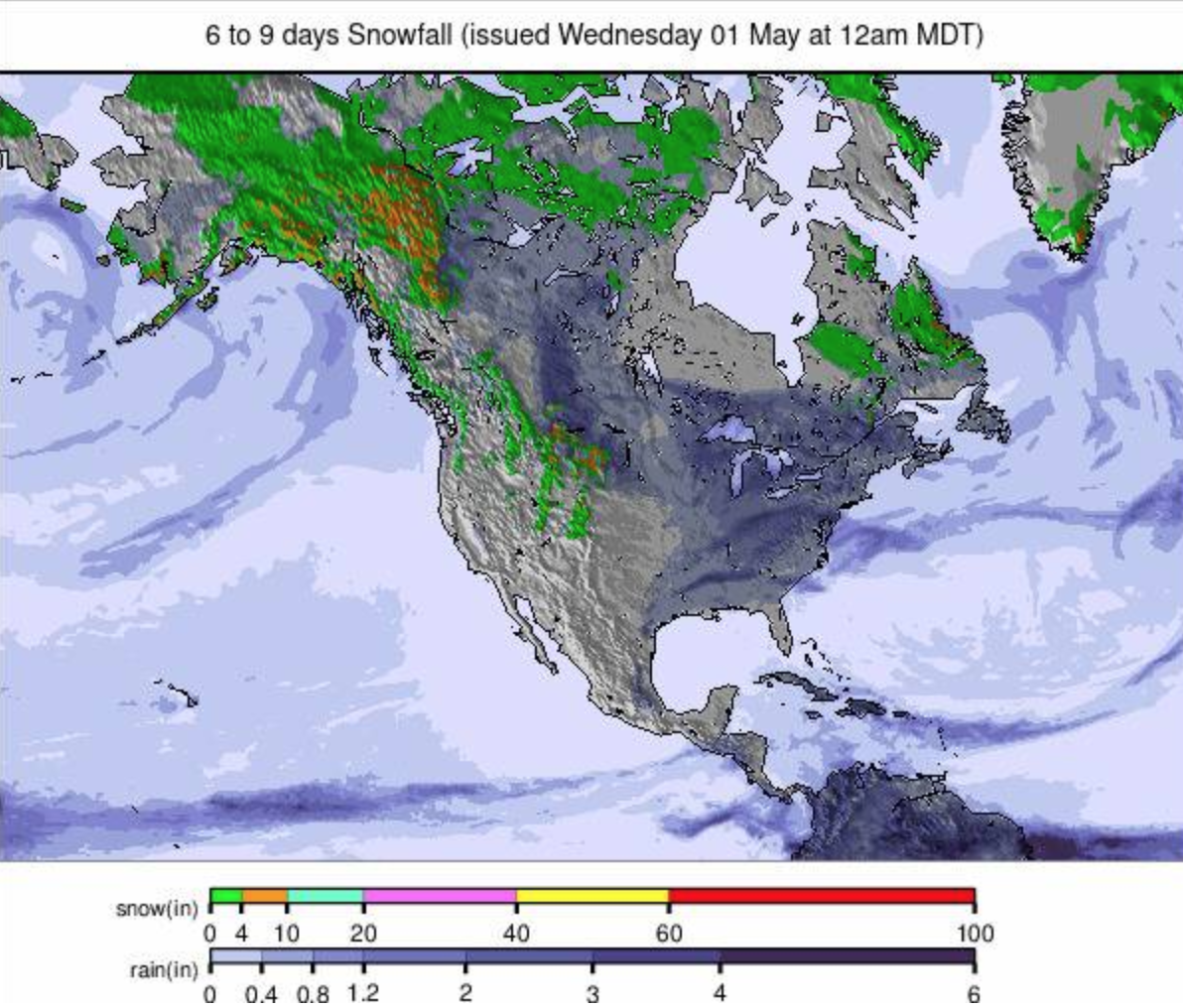
It’s been warmer and drier since the weekend but still freeze-thaw in open high slopes with lo0ws in the 20s Fahrenheit, and daytime highs getting up into the 50s. It's looking fairly settled for the rest of the week with just a chance of a snow shower up high into the weekend.
USA WEST REPORT
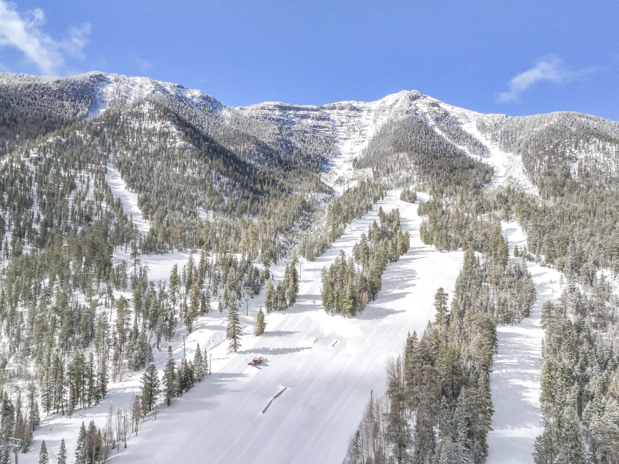
We're down to the usual May survivors on the US West Coast as a few more centres ended their seasons at the weekend. The past week has seen lots of sunshine but also some rain and snow showers with temperatures ranging between 40-50°F. Mammoth Mountain (76/112” / 191/279cm) has closed a lot of its terrain now (although there is still about three-quarters open) but plans to continue to ride daily out of Main Lodge and The Mill as snow conditions permit through at least to the US Memorial Day holiday at the end of the month, noting though that “all operational plans are subject to change, weather and conditions permitting.” The Palisades (15/115” / 38/287cm) also plans to stay open through May and has also limited their open terrain to their Palisades side of the ski area, closing the Alpine Meadows side, which last year stayed open into July. Most of their terrain on the Palisades remains open but ski patrol there have warned of possible deep cracks appearing in the slope surface as temperatures rise. Also still open in the west are Washington State’s Crystal Mountain (27/58” 67/145cm) …although it is expected to close after the upcoming weekend and Mt Bachelor (20/80” / 50/201cm) and Timberline (64/162” / 160/405cm) in Oregon, both expected to stay open through May.
USA WEST FORECAST
Mostly sunny weather for the week ahead with freeze-thaw conditions. Temperatures dropping into the low 20s overnight up high but making the 40s and 50s during the afternoon. Best conditions from mid-morning to early afternoon as the snowpack warms, but before it’s too warm.
USA EAST REPORT
Last weekend saw what was probably the final hurrah this season at Sunday River (28/32” / 70/80cm) with temperatures there and on skis lopes across the region seeing temperatures reach the 60s. Of course, there’s a chance it may reopen next weekend but for now it really just Killington (8/21” / 20/53cm) committed to continue to open through May with its focus on its Superstar spring bumps run where it has been piling on snow through the winter to help it last as long as possible in the spring. That said, both fellow Vermont resort Jay Peak and Maine’s Sugarloaf have announced they plan to re-open this coming weekend for some skiing and riding in May.
USA EAST FORECAST
Staying above freezing although dropping to the high 30s overnight. Daytime highs reaching the 50s or even low 60s with rain showers between sunny spells.
CANADA
REPORT
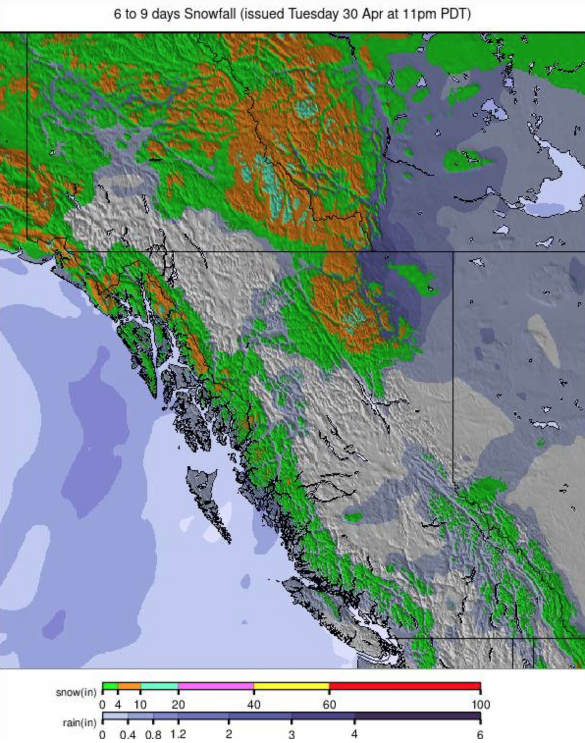
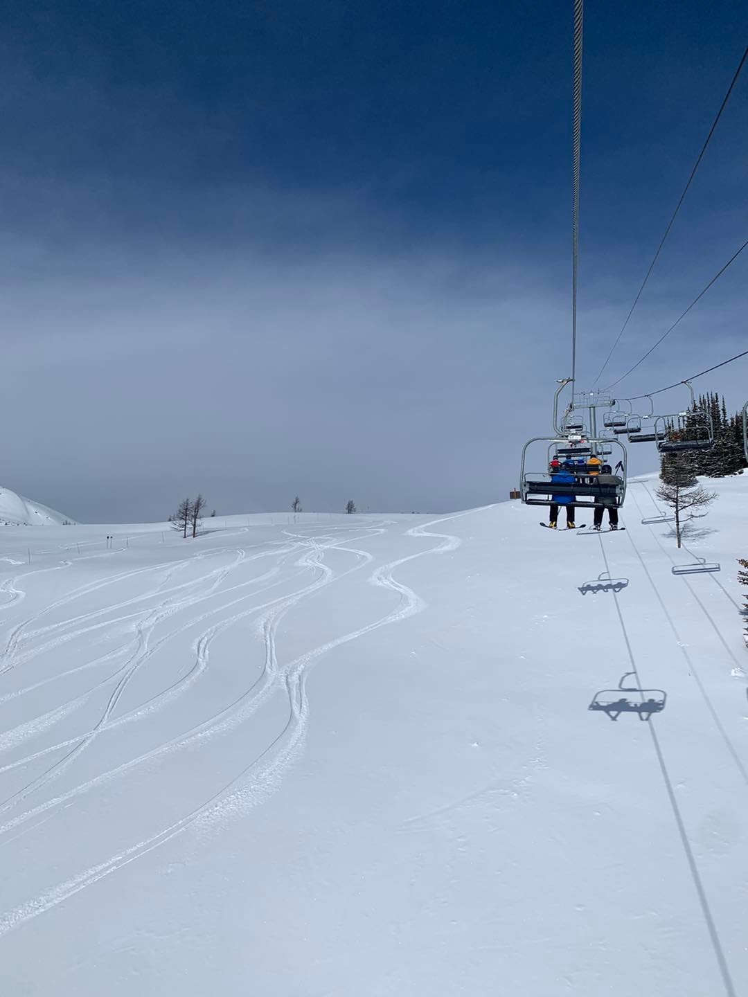
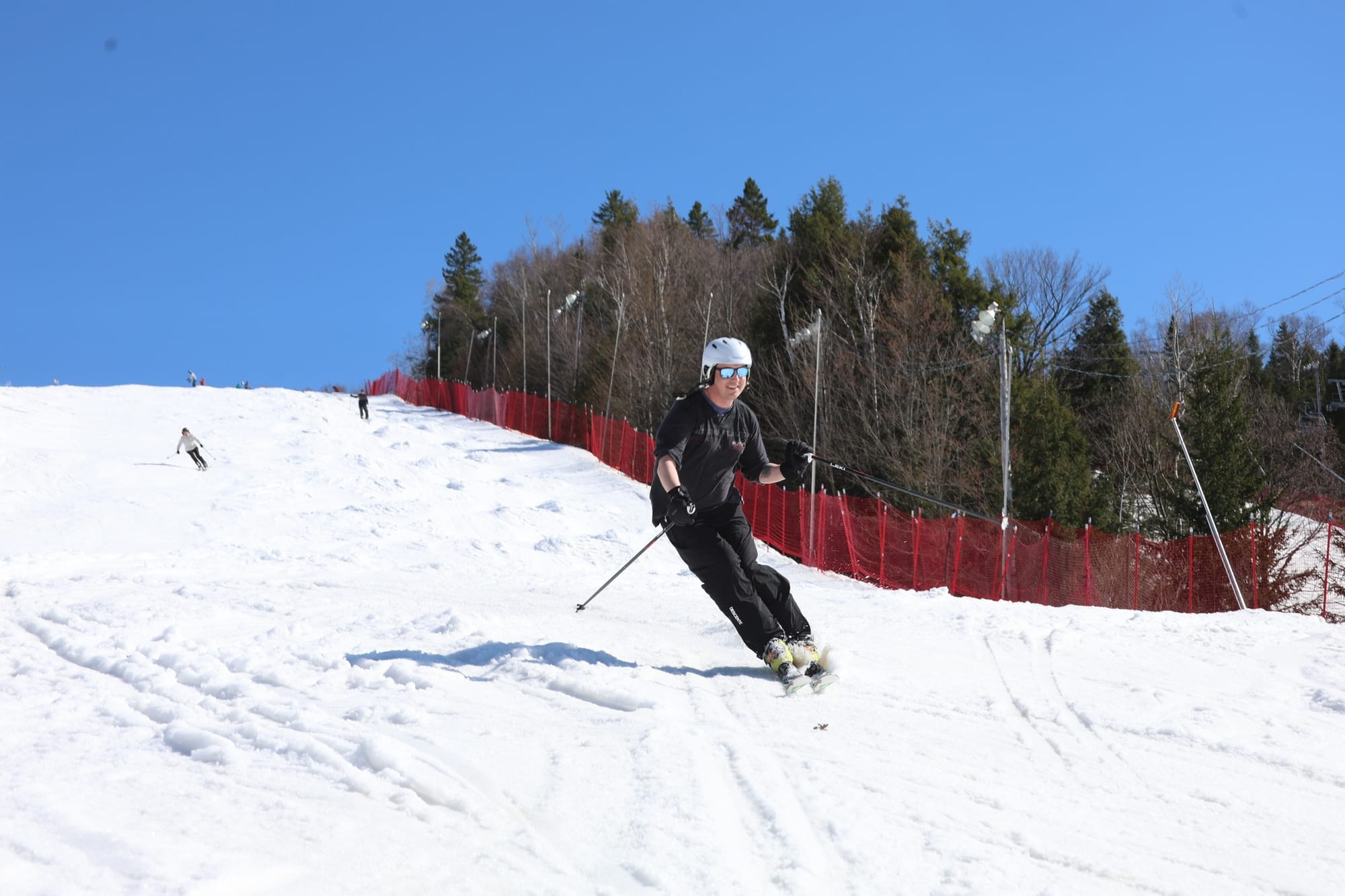
We’re down to four ski centres still open in Western Canada, one in the East, with two of these, Lake Louise (100/155cm / 40/62”) and Marmot Basin (95/95cm / 38/38”), ending their seasons this weekend. Banff’s Sunshine (40/150cm / 16/60”) area and Whistler Mountain (0/215cm / 0/86”) will stay open into the latter half of the month though. Lake Louise has actually been posting the most terrain open in the country the past few weeks, having kept almost all of their slopes open when Whistler has closed its Blackcomb Mountain and is down to about a third of its area now. The weather has been a nice springtime mix of sunshine and light snow showers on higher slopes with daytime highs of +10C at the resort level, and overnight lows of -9C up high. On the East Coast Sommet Sainte-Sauveur (35/60 / 14/24”) is believed to be the only ski area still open. It’s re-opening Fridays to Sundays each weekend with a small stretch of sheltered snow incorporating terrain park features for as long as it lasts.
FORECAST
Freeze-thaw conditions continue with temperatures in the Canadian Mountains ranging between around -10 and +12C. There's a real mix of overcast and sunny skies forecast with mostly light precipitation – potentially snow overnight up high, rain at lower elevations, in the mix.
