Spring Creeps In as Midwest and East Face Warmer, Mixed Conditions
Updated March 12, 2025: Utah just posted the world’s biggest snowfalls last week—over four feet (1.2m)! More powder is coming to the West. Click for details!
- Utah Leads Global Snowfall Charts with Over Four Feet in a Week
- Rockies Score Best Powder Week of the Season
- Four-Foot Dump Incoming: California Braces for Weekend Snowstorm
- Western Canada Sees Best Snow in Weeks—More Coming Soon
NORTH AMERICA OVERVIEW
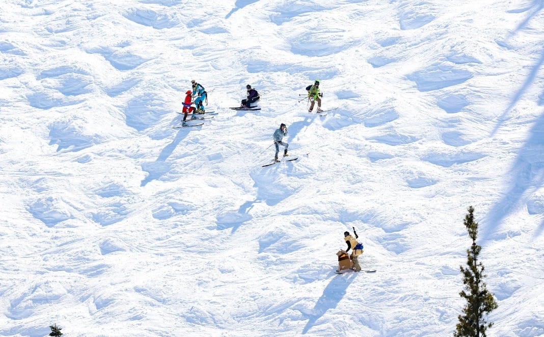
Ski areas in Utah posted not only the US and North America's biggest snowfalls of last week, but in fact the most reported anywhere in the world, with several topping seven-day totals of more than four feet (1.2m). Ski areas in Colorado weren't far behind so it was a weekend of powder in the Rockies. There was some snowfall in California too but the deepest reported depth in North America, which had been reported there, has dropped more than four feet (1.2m) from a week ago due to the snowpack settling and some spring thawing. The current deepest base of 24-25 is still in California though. It's been a much more mixed week on the Eastern side of North America with more snowfalls, but also with spells of warm weather moving through, as well as periods of sleet and rain which has impacted ski operations at times for some areas in the Midwest and on the East Coast.
ROCKIES REPORT
The Rockies have had one of their best weeks for snowfall this season. Utah’s Snowbird (124/124” / 310/310cm) and Deer Valley (83/83” / 206/206cm) both reported over 50” (125cm) of snowfall over the week up to Sunday. "I'm not telling you to call in sick, but I will say that sometimes you have to prioritize your own self-care. A couple of Cirque laps never detracted from my mental well-being, just saying," Snowbird’s snow reporter Maeve G advised skiers on Friday. There was snowfall across the wider region though with most areas getting up to several feet (60cm) of snowfall last week. Even The Snowbowl down in Arizona posted a big snowfall. In Colorado Aspen Snowmass (45/71” / 112/178cm) was one of the big winners with 16” (40cm) over just three days. It has been drier since the weekend with a sunny start to the week and daytime temperatures peaking in the high 40s in valleys, although getting back down into the teens Fahrenheit overnight.
ROCKIES FORECAST
A return of snowfall in the latter half of the week after a sunny few days since the last big dumps./ 3-9£” (7-17cm) daily totals are expected over the next few days and through the weekend with sunny spells between the showers.
WEST COAST REPORT
It's been a largely sunny week on America's West Coast, with temperatures climbing up into the mid-40s in the afternoons at low elevations, but change is now on the way with multiple fronts moving in from today. Currently, most West Coast ski areas remain 90-100% open and posting the deepest snowpacks in the US. Alaska’s Alyeska (8/160” / 20/400cm) recently overtook California’s Mammoth Mountain (64/156" / 160/390cm) in fact, as the latter's base has diminished over the past few weeks as Alyeska's has climbed.
WEST COAST FORECAST
Things are looking quite dynamic for the coming days with a series of storms potentially bringing up to four feet (1.2m) of snow totals to California by the end of the weekend. Expect a mix of weather though with spring temperatures meaning rain and sleet may be in the mix at times.
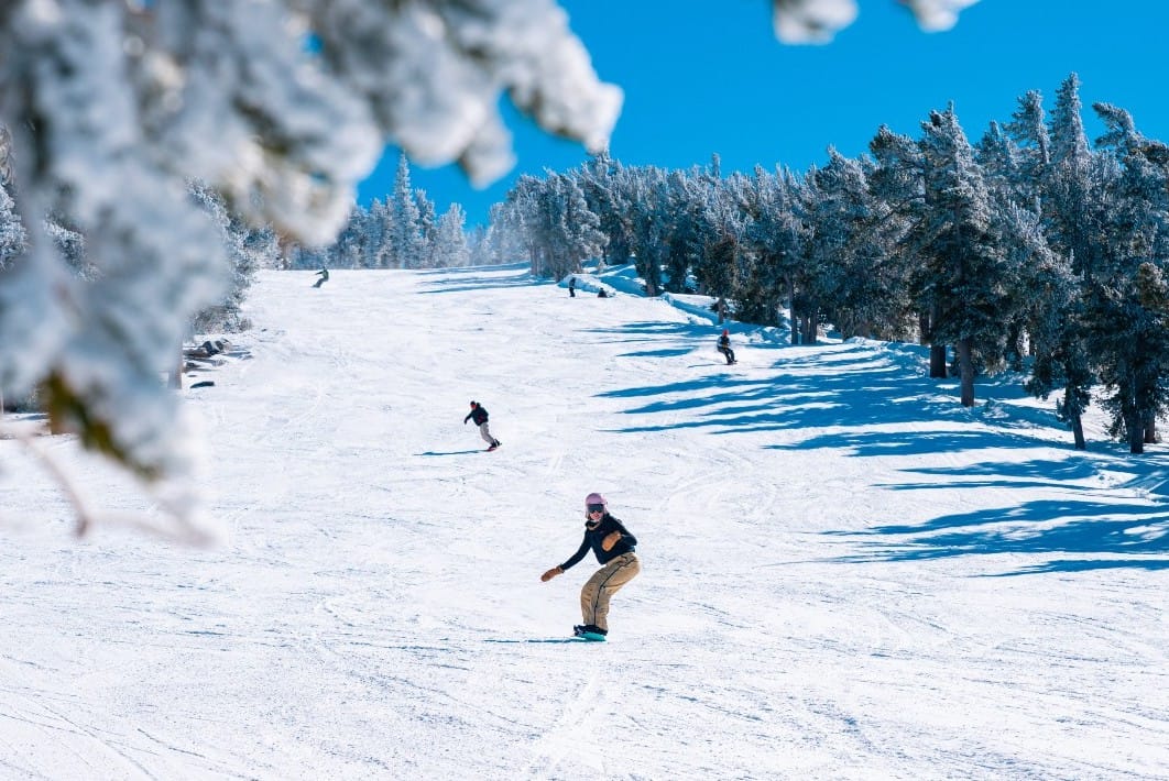
MIDWEST REPORT
A big mix of weather conditions this week in the Midwest with rain, sleet and at times some, mostly light, snowfall reported. With temperatures reaching highs of +55° in the afternoons and the daylight now lasting past 7 pm there's a real feeling that spring has sprung and that the end of the season is fast approaching now, Indeed the majority of midwestern resorts will close before the end of the month. For now, though, most are still open and have most of their runs still open too. Michigan's Marquette Mountain (24/72" / 60/180cm) is posting the region's deepest snow. Minnesota's Lutsen Mountains (24/60" / 60/150cm) have the most open runs at just under 80% of its terrain still skiable and 73 of its 93 trails are still skiable.
MIDWEST FORECAST
Definitely springtime weather with temperatures continuing to climb up towards 50F in the daytime, a mix of rain, sleet, clouds, and thunderstorms all in the mix with strong winds and just a slight chance of a little snowfall.
EAST COAST REPORT
It's been a mostly dry week in the East, with some yoyoing temperatures, including lows in the teens overnights and highs touching the upper 40s in the afternoons. So spring, freeze-thaw conditions are very much the norm. Vermont's Killington (18/36" / 45/90cm) continues to post the most terrain open in the region, with nearly 90% of its slopes open. Whiteface (40/52 / 99/130cm) has the deepest snowpack up in New York State. Some ski areas in the Southeast have called it a day on their 2024-25 seasons though with Canaan Valley Resort, Winterplace Resort and Omni Homestead Resorts amongst those announcing at the weekend their seasons were over a few weeks earlier than hoped.
EAST COAST FORECAST
Unfortunately, it looks like we'll see a warmer-than-average spell of weather to end the week with temperatures getting up into the high 40s again and the chance of rain rather than snow showers at times.
WESTERN CANADA REPORT
It’s been a mixed week in western Canada but will some of the best snowfalls for a fortnight or so. Temperatures have dipped back down to as low as -1%C on higher peaks with daytime highs only getting a few degrees above freezing as freezing levels have moved between 900m and 1500m. One operational issue resulting though has been periods of strong winds, particularly on higher slopes, which combined with the fresh snowfall and temperature fluctuations have driven up avalanche danger levels. Most Western Canadian resorts remain fully open with the deepest snowpacks reported on the Pacific coast. Inland Fernie (150/230cm / 60/92”) reports the most snow lying.
WESTERN CANADA FORECAST
More significant snowfalls (up to 25cm/10” in 24 hours, are forecast over the coming 48 hours with lighter snow showers through the weekend. Temperatures down as low as -15C on higher slopes overnight and not getting more than a few degrees above freezing down low in the daytime either.
EASTERN CANADA REPORT
It’s been a mostly dry week with plenty of sunshine and just occasional showers. With temperatures varying between -12 and +8C, it's freeze-thaw conditions and the showers have again sometimes been rain, especially at lower elevations, rather than snowfall. Despite the challenges the region's largest ski area, Tremblant (190/310cm / 76/124"), is posting Canada's second deepest snowpack up top and still has 80% of its slopes open. Most of the region's other large areas are fully open but Mont-Sainte-Anne (50/75cm / 20/30”) has dropped back to 65%.
EASTERN CANADA FORECAST
A mostly dry end to the week but with temperatures climbing and afternoon highs getting well above +10C at resort bases into the weekend. Some rain showers but it currently looks like a return to colder, snowier weather next week.


