North America & Canada Weekly Roundup #274
Updated January 1, 2025: Pacific Northwest buried under 3 feet (90 cm) of snow, Rockies slopes rebound, and Whistler boasts 90% open terrain. Read more!
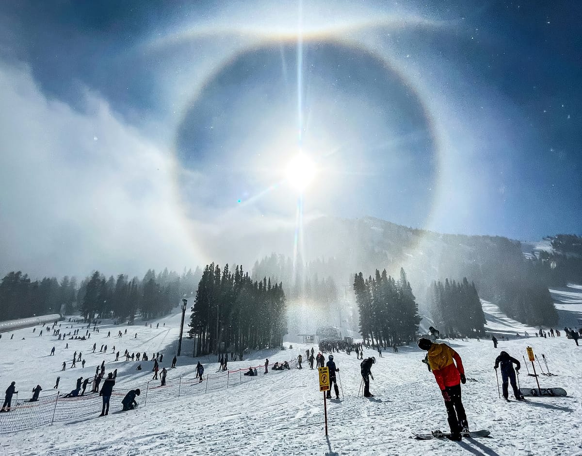
• Pacific Northwest Delivers: 90 cm of Fresh Powder Kicks Off Epic Conditions
• Rockies Rebound: Daily Snow Refresh Revives Slopes Across the Region
• West Coast Divide: Oregon Thrives While California Battles Limited Snow Cover
• Polar Vortex Grips East: Cold Snap Promises Improved Snow Across the Region
• Whistler Blackcomb Leads: Western Canada Hits 90% Open Terrain with Perfect Powder
NORTH AMERICA OVERVIEW
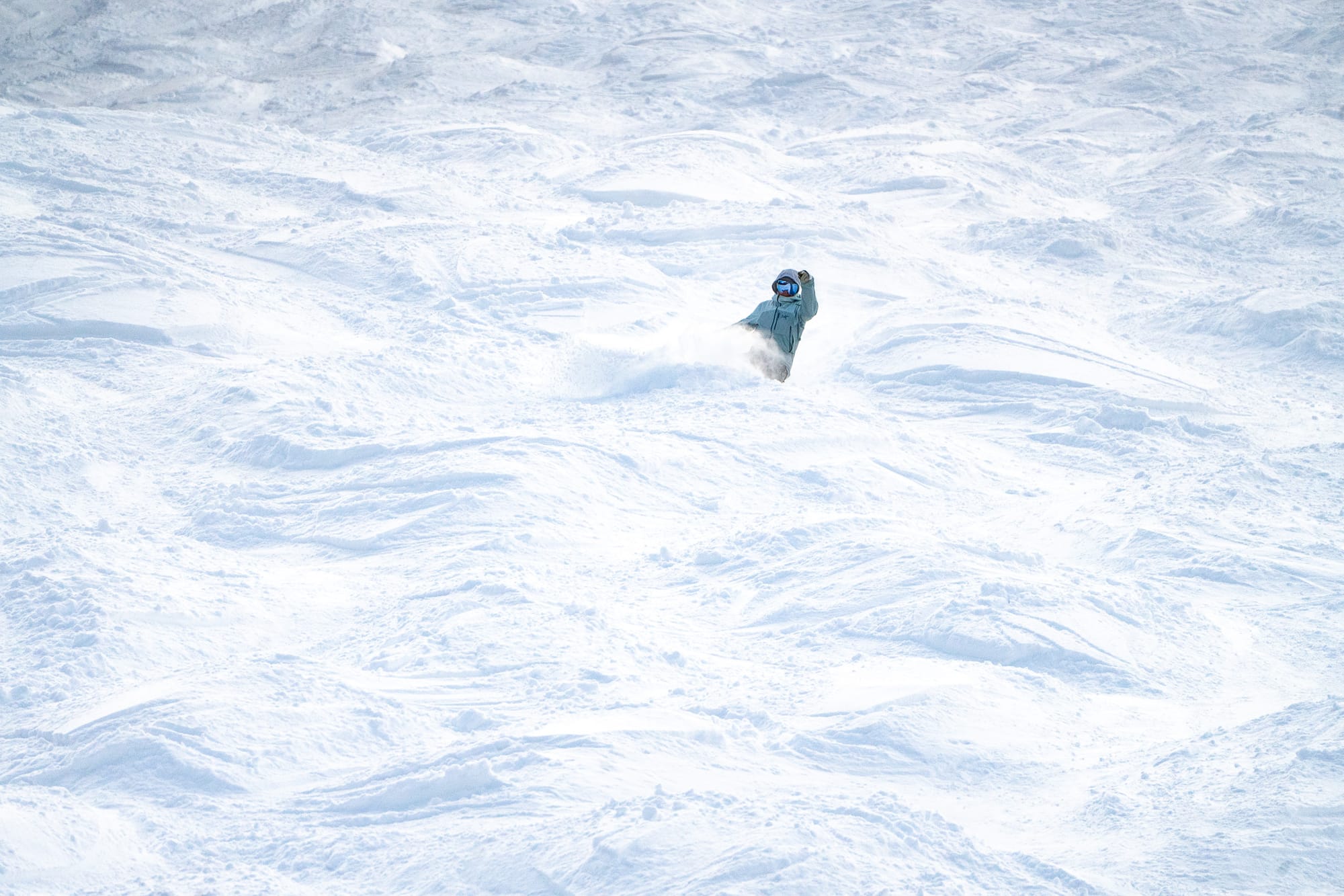
A snowy end to 2024 across much of North America, the heaviest falls reported as usual this season in the Pacific Northwest corner of the continent, where there's been up to three feet (90 cm) more snowfall this week. It's been snowing, though, also in California, the Rockies, and on the East Coast, so bases continue to be built in most areas.
Whilst Whistler Blackcomb has the most terrain open in Canada and North America, the largest ski area in the US, Park City, continues to have only a fraction of its runs open, despite fresh snowfall, after a relatively dry December and its Big sky in Montana along with Colorado's Aspen Snowmass and Vail, posting the most open terrain in the country right now.
ROCKIES REPORT
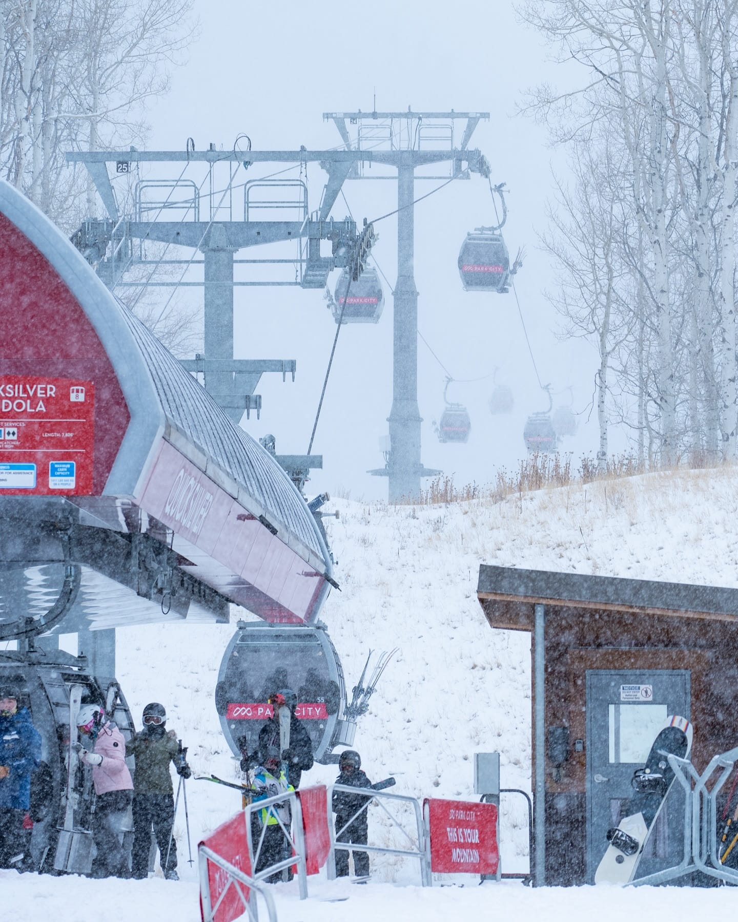
Ski areas in the Rockies reported fresh snowfall to the end of December, with some decent dumps to bolster cover. The snow kept falling, and temperatures remained below freezing in most areas for the past week, with most areas seeing a few inches of refreshing cover each day. The country’s largest ski area, Utah’s Park City (36/36” | 91/91 cm), reported a foot (30 cm) in 24 hours, which improved its rather dire position of having less than 15% of its runs open to now reaching 20%. It's unclear how much of that is down to thin snow cover or how much a strike by ski patrol. But further south in Colorado and Arizona and north in Montana, it’s a more positive picture with Montana’s Big Sky (18/29” | 45/73 cm) posting one of the biggest areas open in North America with around 75% of its slopes.
ROCKIES FORECAST
It is mostly dry and sunny in the Southern Rockies, but there should be snow showers from Utah north in the latter half of the week. Strong winds will also be a factor in the weather mix at times. At this stage, there could be some significant 1-2 foot (30-60 cm) accumulations at the weekend to bolster cover significantly.
WEST COAST REPORT
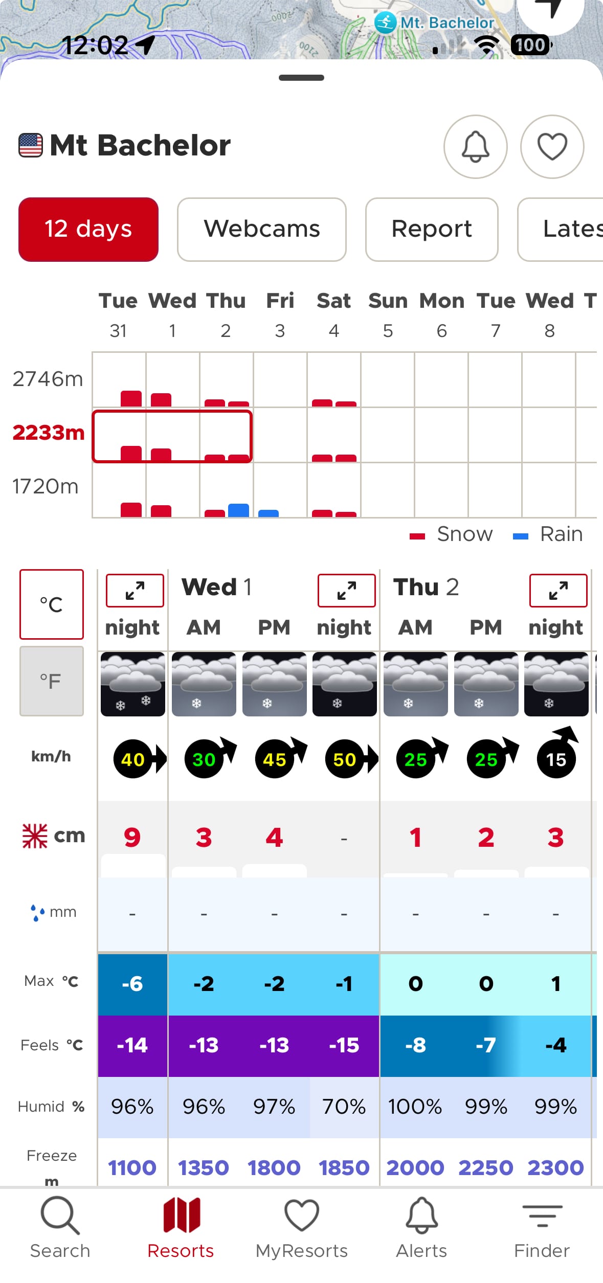
There’s a bit of a north/south divide on the West Coast, with some significant snowfalls reported in more northerly states, including Oregon and Washington, but dry, sunny weather in California, where some centres struggle to open. So Mt Bachelor (38/70” | 95/175 cm) in Oregon reports its slopes 95% open, but Heavenly (10/20” | 25/50 cm) in California has a much thinner base and only just over 50% of its slopes open. It’s a nuanced picture, though, with some areas doing better than others and Mammoth Mountain (51/66” | 127/165 cm), for example, more than 90% open.
WEST COAST FORECAST
It’s expected to stay mainly sunny, but with a front bringing light snowfall to end the week in California, temperatures around freezing or a few degrees below. Further north, there’s much more snowfall forecast, with up to 12” (30 cm) in 24 hours on some days for Oregon and Washington.
MIDWEST REPORT
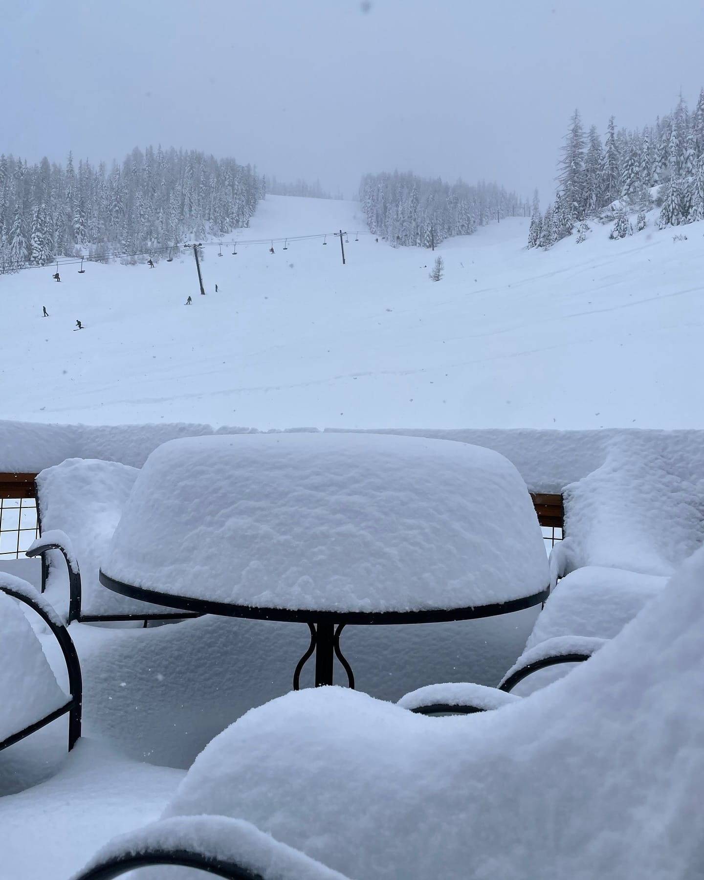
Midwest ski areas continue to tread a fine line between warm and cold temperatures. That’s resulted in some negative media regarding what’s open, leaving some to post images of snowy slopes to stress they’re fully open and that conditions are better in some cases than they were at this point of the season last year. It is a mixed picture, though, with some struggling to open terrain against those fully open, and there's not been much fresh snowfall in the forecast this week. Michigan's Ski Brule (36/48" | 90/120 cm) continues to post the deepest snow and is 95% open. At the other extreme, Wisconsin's Whitecap Mountain (18/18" | 45/45 cm) reports only 5 of its 43 trails open.
MIDWEST FORECAST
There is still not much snowfall in the forecast, but some very low temperatures into the teens Fahrenheit are expected for the first week of 2025, meaning excellent snowmaking conditions. There should also be the return of lake-effect snow. The longer-term forecast is for colder Polar air to dominate through the first half of January.
EAST COAST REPORT
Conditions continue to improve in the Eastern US, with base depths up to 4 feet (1.2m) now on upper slopes (Virginia's Snowshoe Mountain), although the majority remain below two feet (60 cm). Open terrain remains limited for most at 30-50% of their terrain. The region's biggest area, Vermont's Killington (4/12" | 10/35 cm) has managed to open 70%v of its slopes despite the thin cover, the largest area of runs available in the eastern US. There was another mild spell with temperatures getting into the 40s Fahrenheit to start this week, with some rain reported before things turned snowy over the past few days.
EAST COAST FORECAST
Staying cold with temperatures in the teens and 20s Fahrenheit and light snowfall forecast through the remainder of the week. A Polar vortex is expected to dominate Eastern North American weather conditions for the first half of January, keeping conditions consistently cold.
WESTERN CANADA REPORT
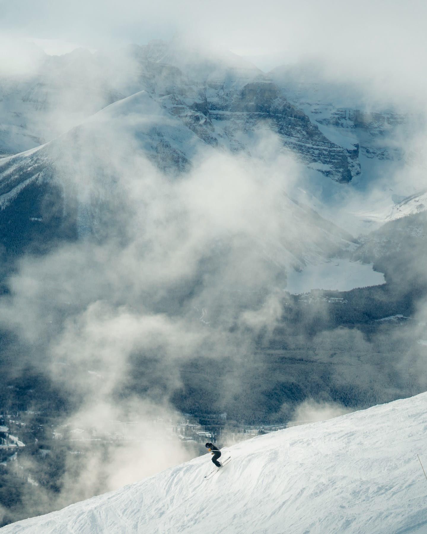
It was a good week for western Canada, with temperatures typically down into the -5 to -15C range and regular light snowfalls of 5-10 cm (2-4") reported daily. This follows several months of primarily favourable weather conditions that have left ski areas like Sun Peaks (132/141 cm | 53/56") reporting every slope open and every lift turning, while North America's biggest resort, Whistler Blackcomb (0/200 cm | 0/80"), is now up to 90% of its runs open.
WESTERN CANADA FORECAST
It will stay cold, with light snowfall continuing daily through the end of the week. It continues below freezing and overcast but drier through the weekend.
EASTERN CANADA REPORT
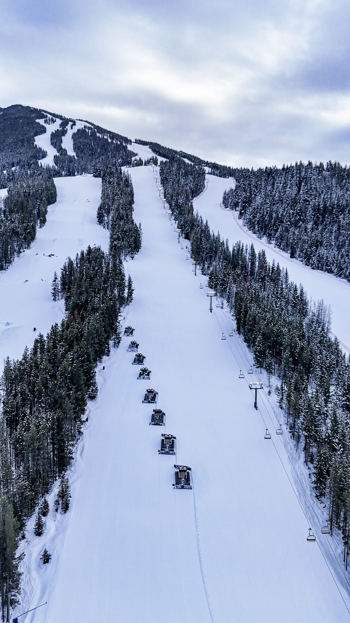
It’s been a mostly positive week for Eastern Canada with predominantly subzero temperatures and some light snow showers, falling as rain, though still on lower slopes. Things remain suboptimal in terms of open terrain, with most centres still posting bases of less than 50 cm (12") and, in many cases, less than 30 cm (12"), limiting what can open to typically 20-50% of their slopes. Tremblant (50/150 cm | 20/60") claims triple the base of its nearest competitor on its higher slopes and has just over half of its terrain, the region's largest, open. The second biggest area, Mont-Saine-Anne (30/35 cm | 12/14”), is still at 40% open with its fragile base.
EASTERN CANADA FORECAST
It's looking positive for the week ahead, with temperatures predominantly in the -5 to -15C range. No huge snowfalls are forecast, but small to moderate falls are expected, and of course, the low temps will help enable snowmaking operations.

